Boar's Head
Landscape Feature in Aberdeenshire
Scotland
Boar's Head
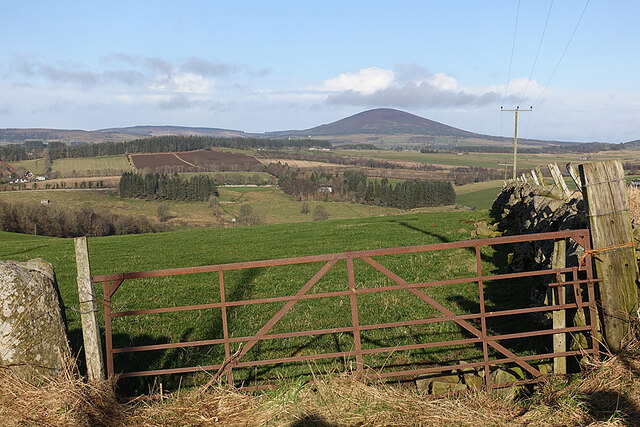
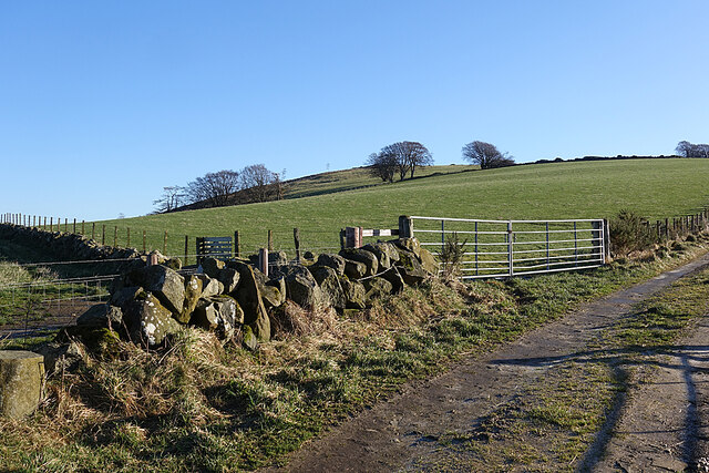
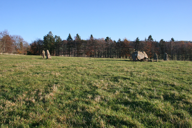
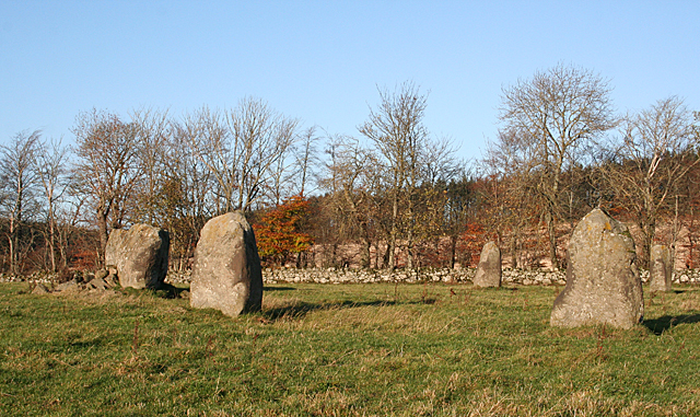
Boar's Head is a prominent landscape feature located in Aberdeenshire, Scotland. This natural formation is situated in the picturesque Cairngorms National Park, which is renowned for its stunning scenery and rich biodiversity. Boar's Head stands tall at an elevation of approximately 1,415 feet (431 meters) above sea level, offering breathtaking panoramic views of the surrounding area.
The distinctive shape of Boar's Head is what gives it its name. From certain angles, the rock formation resembles the head of a wild boar, complete with its characteristic snout and ears. This unique feature has made it a popular landmark for hikers and nature enthusiasts to explore and admire.
The rock formation itself is composed of ancient granite, which adds to its rugged and weathered appearance. Over the years, Boar's Head has become a favorite spot for rock climbers, who are drawn to its challenging vertical faces and exposed ridges.
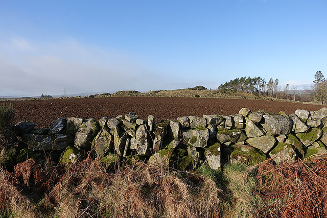
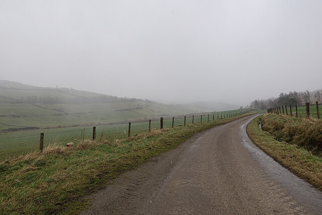
Surrounding Boar's Head is a diverse ecosystem, featuring heather-covered moorlands, scattered woodlands, and crystal-clear streams. This area is home to a variety of wildlife, including red deer, golden eagles, and mountain hares. The landscape also boasts several walking trails, offering visitors the opportunity to immerse themselves in the natural beauty of the region.
In addition to its natural allure, Boar's Head holds cultural significance as well. Local legends and folklore often associate the rock formation with mythical creatures and ancient tales, adding an air of mystery and intrigue to the landscape.
Overall, Boar's Head in Aberdeenshire is a captivating landscape feature that showcases the raw beauty and rich biodiversity of the Scottish Highlands.
If you have any feedback on the listing, please let us know in the comments section below.
Boar's Head Images
Images are sourced within 2km of 57.52057/-2.7569031 or Grid Reference NJ5448. Thanks to Geograph Open Source API. All images are credited.
Boar's Head is located at Grid Ref: NJ5448 (Lat: 57.52057, Lng: -2.7569031)
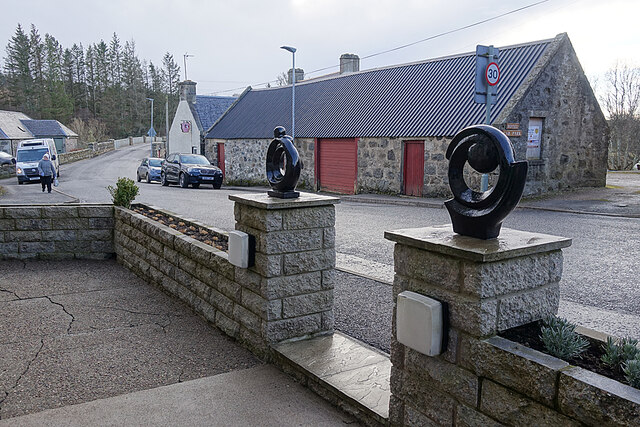
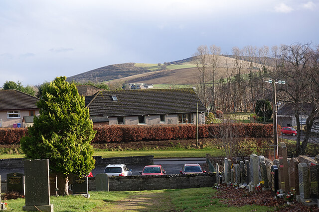
Unitary Authority: Aberdeenshire
Police Authority: North East
What 3 Words
///unloading.outdoor.chains. Near Huntly, Aberdeenshire
Nearby Locations
Related Wikis

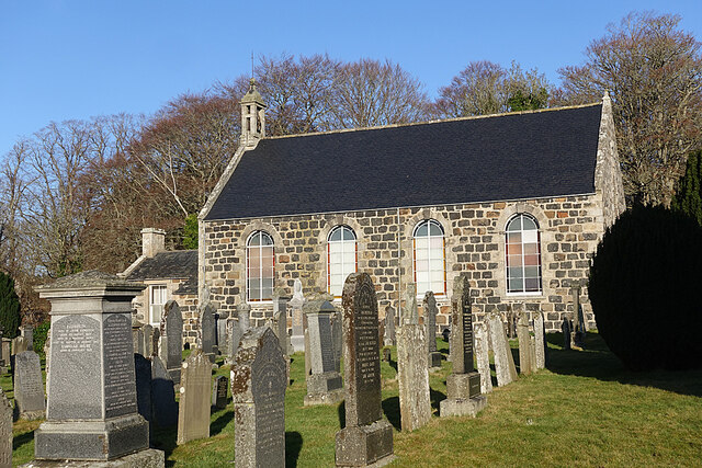
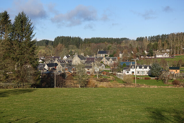
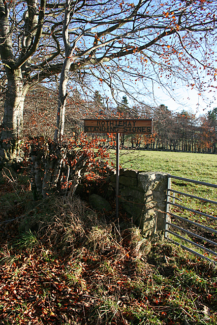
Milltown of Rothiemay
Milltown of Rothiemay (Scottish Gaelic: Ràth a' Mhuigh) is a small inland village, built mostly of granite, in the north-east of Scotland and is within...

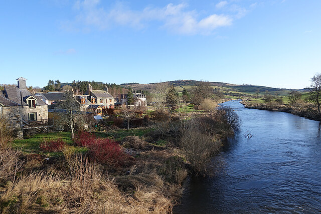
River Isla, Moray
The River Isla (Scottish Gaelic: Uisge Ìle) is a tributary of the River Deveron in North-East Scotland. The area surrounding it is known as Strathisla...

Avochie Castle
Avochie Castle is a ruined tower house, dating from the 16th century, or early 17th century, around 4.5 miles (7.2 km) north of Huntly, east of the river...

Mountains Burn
Mountains Burn is a burn which marks the boundary of the parish of Huntly, Aberdeenshire, Scotland. == References ==

Rothiemay railway station
Rothiemay railway station served the village of Milltown of Rothiemay, Aberdeenshire, Scotland from 1856 to 1968 on the Great North of Scotland Railway...

Fourman Hill
Fourman Hill is a hill located west of Bogniebrae, Aberdeenshire, Scotland. It has an elevation of 1,127 feet (344 m). A cairn near the summit marked the...
Ruthven, Aberdeenshire
Ruthven (, Gaelic: Ruadhainn), Aberdeenshire is a village in Scotland near Huntly (to the south east), and Keith (to the north west). It is traditionally...
Daugh Castle
Daugh Castle was a castle, about 5 miles (8.0 km) north of Huntly, Aberdeenshire, Scotland, near Cairnie Burn. It was also known as Castle of the Daach...
Nearby Amenities
Located within 500m of 57.52057,-2.7569031Have you been to Boar's Head?
Leave your review of Boar's Head below (or comments, questions and feedback).