Clayland Wood
Wood, Forest in Banffshire
Scotland
Clayland Wood
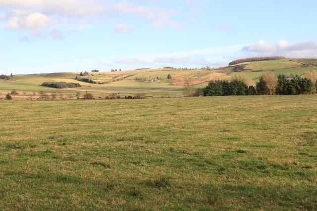
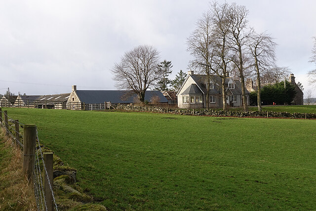
Clayland Wood, located in Banffshire, is a picturesque forest that covers a vast area of land. This woodland is known for its rich biodiversity and natural beauty, making it a popular destination for nature enthusiasts and hikers alike.
The wood is characterized by its dense canopy of trees, which primarily consists of native species such as oaks, birches, and Scots pines. These trees provide a habitat for various animals and birds, including red squirrels, roe deer, and a wide range of bird species.
Visitors to Clayland Wood can enjoy a network of well-maintained trails, allowing them to explore the forest's diverse flora and fauna. The trails cater to different skill levels, making it accessible for both casual walkers and experienced hikers. Along these paths, visitors may come across charming picnic spots and viewpoints, offering stunning vistas of the surrounding landscape.
The wood is also home to several small streams and ponds, adding to the overall tranquility and natural beauty of the area. These water bodies provide a habitat for amphibians and aquatic plants, further enhancing the biodiversity of the forest.
Clayland Wood is actively managed by conservation organizations, ensuring the preservation of its unique ecosystem. Efforts are made to maintain the balance between human activities and the forest's natural processes, promoting sustainability and the protection of wildlife.
In summary, Clayland Wood in Banffshire is a captivating forest that offers visitors the opportunity to immerse themselves in nature. With its diverse range of flora and fauna, well-marked trails, and stunning views, it is a must-visit destination for anyone seeking a peaceful and enriching outdoor experience.
If you have any feedback on the listing, please let us know in the comments section below.
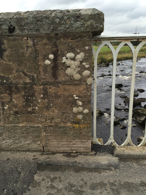
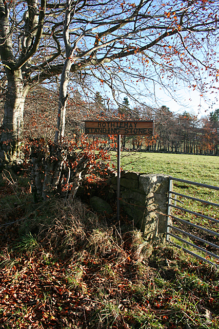
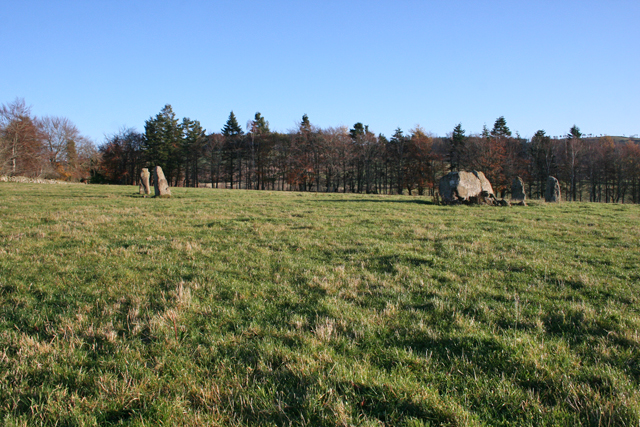
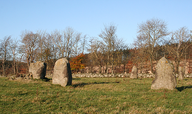
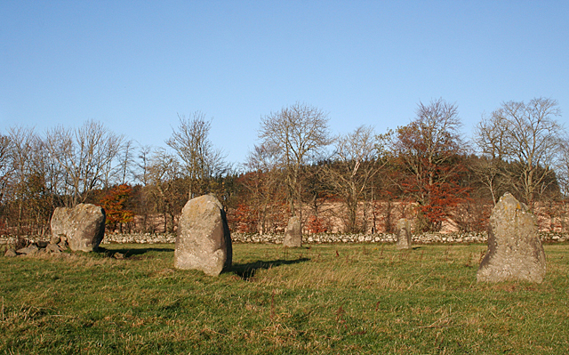
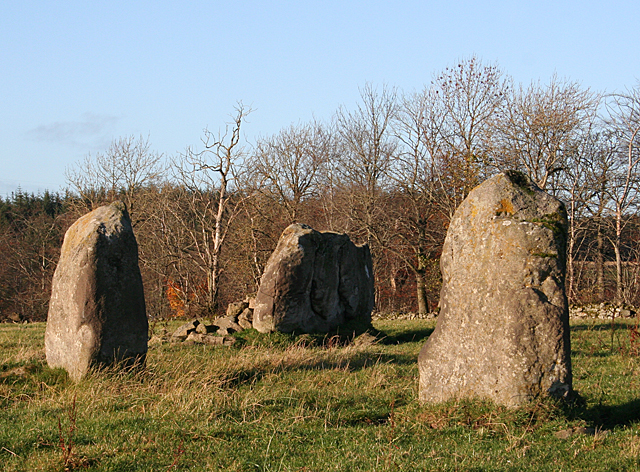
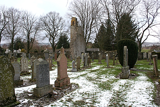
Clayland Wood Images
Images are sourced within 2km of 57.52381/-2.7631982 or Grid Reference NJ5448. Thanks to Geograph Open Source API. All images are credited.
Clayland Wood is located at Grid Ref: NJ5448 (Lat: 57.52381, Lng: -2.7631982)
Unitary Authority: Moray
Police Authority: North East
What 3 Words
///overused.madder.moisture. Near Huntly, Aberdeenshire
Nearby Locations
Related Wikis

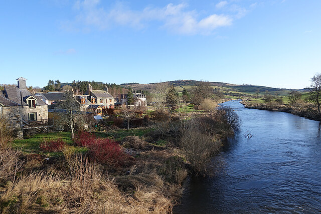
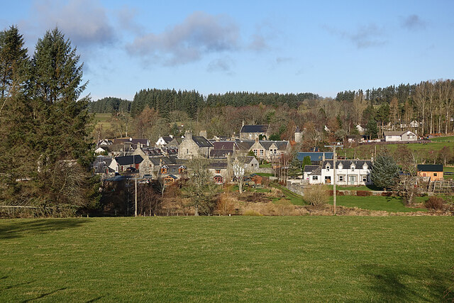
Milltown of Rothiemay
Milltown of Rothiemay (Scottish Gaelic: Ràth a' Mhuigh) is a small inland village, built mostly of granite, in the north-east of Scotland and is within...

River Isla, Moray
The River Isla (Scottish Gaelic: Uisge Ìle) is a tributary of the River Deveron in North-East Scotland. The area surrounding it is known as Strathisla...

Avochie Castle
Avochie Castle is a ruined tower house, dating from the 16th century, or early 17th century, around 4.5 miles (7.2 km) north of Huntly, east of the river...

Rothiemay railway station
Rothiemay railway station served the village of Milltown of Rothiemay, Aberdeenshire, Scotland from 1856 to 1968 on the Great North of Scotland Railway...

Mountains Burn
Mountains Burn is a burn which marks the boundary of the parish of Huntly, Aberdeenshire, Scotland. == References ==
Ruthven, Aberdeenshire
Ruthven (, Gaelic: Ruadhainn), Aberdeenshire is a village in Scotland near Huntly (to the south east), and Keith (to the north west). It is traditionally...

Millegin railway station
Millegin railway station, Millagan railway station or later Millegin Siding was briefly an intermediate stop situated on what became the Great North of...

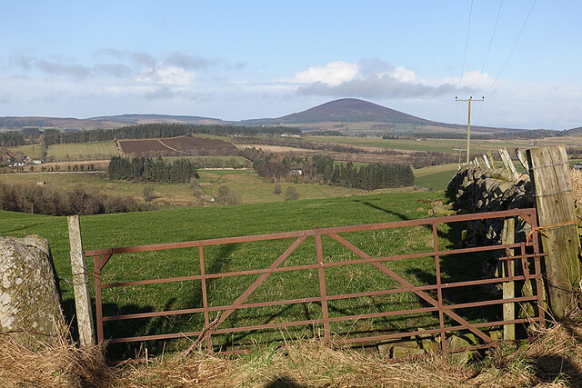
Fourman Hill
Fourman Hill is a hill located west of Bogniebrae, Aberdeenshire, Scotland. It has an elevation of 1,127 feet (344 m). A cairn near the summit marked the...
Nearby Amenities
Located within 500m of 57.52381,-2.7631982Have you been to Clayland Wood?
Leave your review of Clayland Wood below (or comments, questions and feedback).