Cotton Wood

Wood, Forest in Angus

Scotland

Cotton Wood

Disused church, Kirkton of Menmuir The building is still shown as a church on the OS map, but it is no longer used for services and has become a store. The reason for stopping here was to find a Pictish cross slab, which was unsuccessful. I suspect it was at the west end of the building amongst scaffolding and builders material. An odd looking sculptured stone was found in the churchyard however.
Disused church, Kirkton of Menmuir Credit: Gordon Hatton

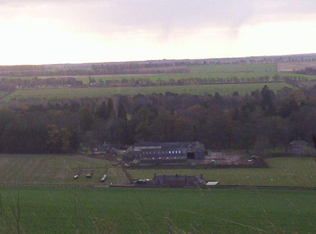
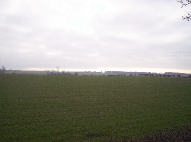
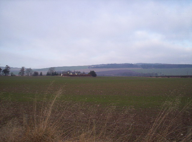
Cotton Wood, Angus (Wood, Forest) is a small village located in the Angus council area of Scotland. Situated in the eastern part of the country, it lies about 8 miles north of the town of Forfar and around 20 miles northeast of Dundee. The village is nestled within a picturesque rural landscape, surrounded by rolling hills and woodlands.

Cotton Wood is primarily a residential area, with a population of around 500 people. The village is known for its tranquil and peaceful setting, offering a sense of escape from the hustle and bustle of city life. The community is close-knit, and residents enjoy a strong sense of belonging and camaraderie.

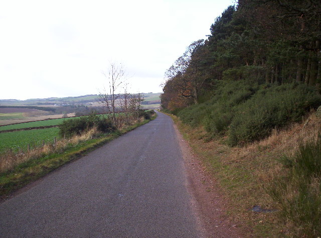
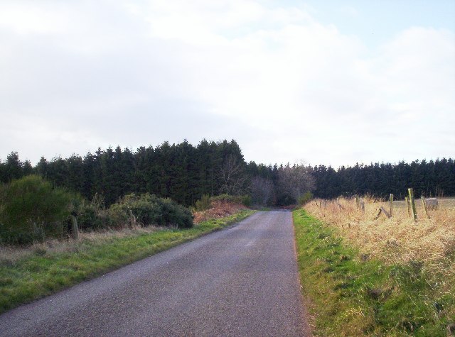
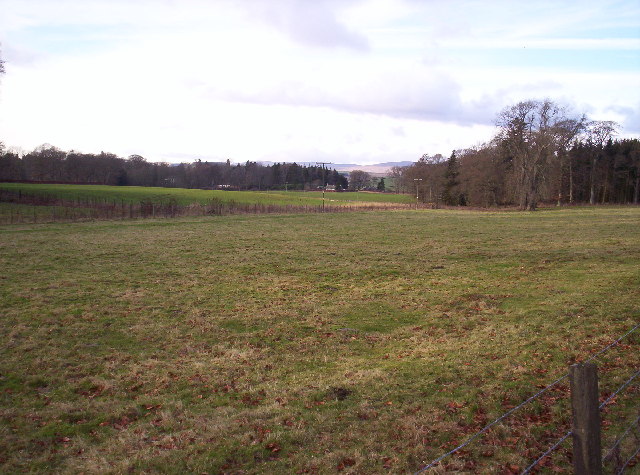
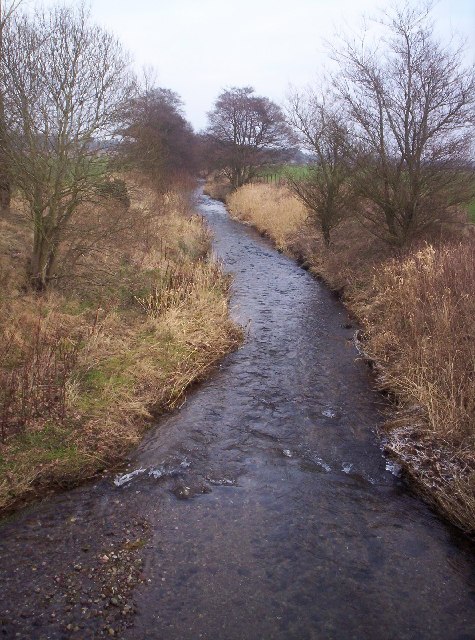
Nature plays a significant role in the village's identity, with the nearby forest being a prominent feature. The Cotton Wood Forest covers a large area and boasts a diverse range of flora and fauna. It provides ample opportunities for outdoor activities such as hiking, birdwatching, and nature photography.

The village also benefits from its proximity to various amenities. Nearby towns and cities offer a wide range of services, including schools, healthcare facilities, shops, and restaurants. Additionally, the well-connected road network ensures easy access to other parts of Angus and beyond.

Overall, Cotton Wood, Angus (Wood, Forest) is a charming village that offers a peaceful and idyllic lifestyle, surrounded by natural beauty. With its strong community spirit and access to essential amenities, it provides a desirable living environment for its residents.

If you have any feedback on the listing, please let us know in the comments section below.

Cotton Wood Images

Images are sourced within 2km of 56.757986/-2.747313 or Grid Reference NO5463. Thanks to Geograph Open Source API. All images are credited.

Disused church, Kirkton of Menmuir The building is still shown as a church on the OS map, but it is no longer used for services and has become a store. The reason for stopping here was to find a Pictish cross slab, which was unsuccessful. I suspect it was at the west end of the building amongst scaffolding and builders material. An odd looking sculptured stone was found in the churchyard however.
Disused church, Kirkton of Menmuir
The building is still shown as a church on the OS map, but it is no longer used for services and has become a store. The reason for stopping here was to find a Pictish cross slab, which was unsuccessful. I suspect it was at the west end of the building amongst scaffolding and builders material. An odd looking sculptured stone was found in the churchyard however.
Sculptured stone in Kirkton of Menmuir churchyard I may have not found the Pictish cross slab, but I did find this curious carved stone in the churchyard. An internet search would suggest that this is a Pictish stone that was found when a wall was demolished in 1844, but it appears to have been erected sideways.
Sculptured stone in Kirkton of Menmuir churchyard
I may have not found the Pictish cross slab, but I did find this curious carved stone in the churchyard. An internet search would suggest that this is a Pictish stone that was found when a wall was demolished in 1844, but it appears to have been erected sideways.
Menmuir Parish Kirkyard Some of the gravestones in Menmuir Kirkyard are elaborately carved and remarkably well preserved. The nearest grave is that of the family of David Lighton and Ann Skair, who died in 1753 and 1774 respectively.
Menmuir Parish Kirkyard
Some of the gravestones in Menmuir Kirkyard are elaborately carved and remarkably well preserved. The nearest grave is that of the family of David Lighton and Ann Skair, who died in 1753 and 1774 respectively.
Bizarre Topiary This yew has been clipped into a very curious shape, for all the world like a still for producing whisky!
Bizarre Topiary
This yew has been clipped into a very curious shape, for all the world like a still for producing whisky!
Katherine Fairweather's Gravestone This stone, commemorating a death in 1702, is singled out for individual mention in the Listed Building description of the kirkyard at Menmuir.
Katherine Fairweather's Gravestone
This stone, commemorating a death in 1702, is singled out for individual mention in the Listed Building description of the kirkyard at Menmuir.
Barns at Balfour Large relatively modern buildings at Balfour Farm. It must have changed out of all recognition since my 6th-great-grandparents farmed here 300 years ago.
Barns at Balfour
Large relatively modern buildings at Balfour Farm. It must have changed out of all recognition since my 6th-great-grandparents farmed here 300 years ago.
Christmas Tree Nursery I'm fairly sure that these are Norway Spruce being grown as Christmas trees, though it may be a year or two before they are ready to cut.
Christmas Tree Nursery
I'm fairly sure that these are Norway Spruce being grown as Christmas trees, though it may be a year or two before they are ready to cut.
Balfour Farm The sign stands out against the dark background of a corrugated iron store, presumably for grain.
Balfour Farm
The sign stands out against the dark background of a corrugated iron store, presumably for grain.
Balfour Farm There's obviously work in progress in the farm yard beside the road at Balfour. Beyond it is a glimpse of the farm house, which is a replacement, almost certainly built in the late 19th century, for the house my 6th-great-grandparents occupied here 300 years ago.
Balfour Farm
There's obviously work in progress in the farm yard beside the road at Balfour. Beyond it is a glimpse of the farm house, which is a replacement, almost certainly built in the late 19th century, for the house my 6th-great-grandparents occupied here 300 years ago.
Menmuir Hall A community facility for the people of Menmuir.
Menmuir Hall
A community facility for the people of Menmuir.
Road between Edzell and Tigerton
Fields, Woodland and Balnamoon Farm in the Background
Field Looking Towards Lochty
Show me another place!

Cotton Wood is located at Grid Ref: NO5463 (Lat: 56.757986, Lng: -2.747313)

Unitary Authority: Angus

Police Authority: Tayside

What 3 Words

///teardrop.fades.lion. Near Brechin, Angus

Nearby Locations

Birch Wood Cotton Wood

Related Wikis

Menmuir

Menmuir is a parish in the county of Angus in Scotland. Kirkton of Menmuir consists of only three houses (the Old Schoolhouse, the Manse, the Old Inn)...

Careston railway station

Careston railway station served the hamlet of Careston, Angus, Scotland, from 1895 to 1964 on the Forfar and Brechin Railway. == History == The station...

Caterthun

Caterthun, or the Caterthuns, is a ridge of hills near the city of Brechin in Angus, Scotland. The Caterthuns are notable for being the site of two Iron...
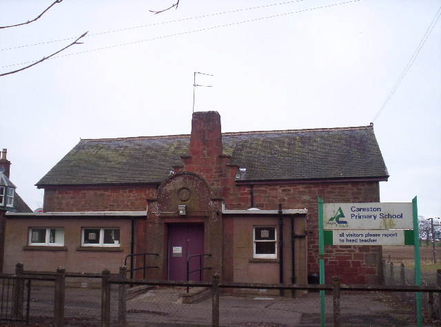
Careston

Careston is a hamlet in Angus, Scotland, that is in the parish of the same name, 5 miles west of Brechin. The parish and hamlet supposedly took their name...

Nearby Amenities

Located within 500m of 56.757986,-2.747313
Cotton of Balnamoon
Place: isolated_dwelling
Lat/Long: 56.7602546/-2.751773
Power: pole
Lat/Long: 56.7558823/-2.7402611
Power: pole
Lat/Long: 56.7563842/-2.7405899
Power: pole
Lat/Long: 56.7563809/-2.7417175
Power: pole
Lat/Long: 56.7563738/-2.7428616
Power: pole
Lat/Long: 56.756368/-2.7439881
Power: pole
Lat/Long: 56.7563616/-2.7451075
Power: pole
Lat/Long: 56.7567414/-2.7462434
Power: pole
Lat/Long: 56.7570611/-2.747252
Power: pole
Lat/Long: 56.7573886/-2.7482477
Power: pole
Lat/Long: 56.7577148/-2.7492457
Power: pole
Lat/Long: 56.7576683/-2.7501447
Power: pole
Lat/Long: 56.7576231/-2.7510638
Power: pole
Lat/Long: 56.7574306/-2.7523788
Power: pole
Lat/Long: 56.7572316/-2.7536467
Power: pole
Lat/Long: 56.7570405/-2.7549781
Power: pole
Lat/Long: 56.7617668/-2.7507928
Power: pole
Lat/Long: 56.7613948/-2.7501942
Power: pole
Lat/Long: 56.7610253/-2.750741
Power: pole
Lat/Long: 56.7606675/-2.7512971
Power: pole
Lat/Long: 56.7608212/-2.7500458
Power: pole
Lat/Long: 56.7610848/-2.7491385
Power: pole
Lat/Long: 56.7613625/-2.7481393
Power: pole
Lat/Long: 56.7616906/-2.7469916
Power: pole
Lat/Long: 56.7620225/-2.7458416
Power: pole
Lat/Long: 56.7602309/-2.7499044
Power: pole
Lat/Long: 56.759607/-2.7497394
Power: pole
Lat/Long: 56.7589688/-2.7495862
Power: pole
Lat/Long: 56.7583475/-2.749426
The data included in this document is from www.openstreetmap.org. The data is made available under ODbL.

Have you been to Cotton Wood?

Leave your review of Cotton Wood below (or comments, questions and feedback).