Scraib Wood
Wood, Forest in Banffshire
Scotland
Scraib Wood
Scraib Wood is a charming forest located in Banffshire, Scotland. Covering an area of approximately 100 acres, this woodland is a haven for nature enthusiasts and provides a tranquil escape from the hustle and bustle of urban life.
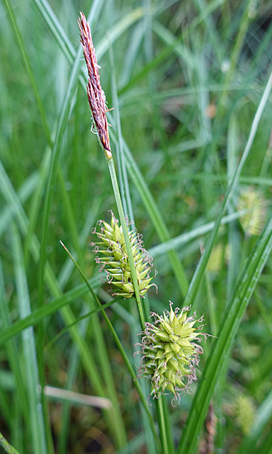
The wood is predominantly composed of native tree species, including Scots pine, birch, and oak, which create a diverse and visually appealing landscape. The forest floor is adorned with a carpet of lush undergrowth, comprising ferns, wildflowers, and mosses, adding to the enchanting atmosphere.
Scraib Wood is home to a variety of wildlife, making it a popular spot for birdwatchers and nature photographers. Visitors may be fortunate enough to spot species such as red squirrels, roe deer, and a range of woodland birds, including great spotted woodpeckers and treecreepers.
Several walking trails wind their way through the forest, allowing visitors to explore its beauty at their own pace. These paths range in difficulty, catering to both casual strollers and experienced hikers. Along the way, visitors can enjoy breathtaking views of the surrounding countryside and may stumble upon hidden streams and waterfalls.
The wood is open to the public year-round and is managed by the local conservation authority, ensuring the preservation of its natural beauty. Facilities such as picnic areas and car parks are available for the convenience of visitors.
Scraib Wood is a true gem in Banffshire, offering a perfect blend of natural beauty and tranquility, making it an ideal destination for those seeking solace in nature.
If you have any feedback on the listing, please let us know in the comments section below.
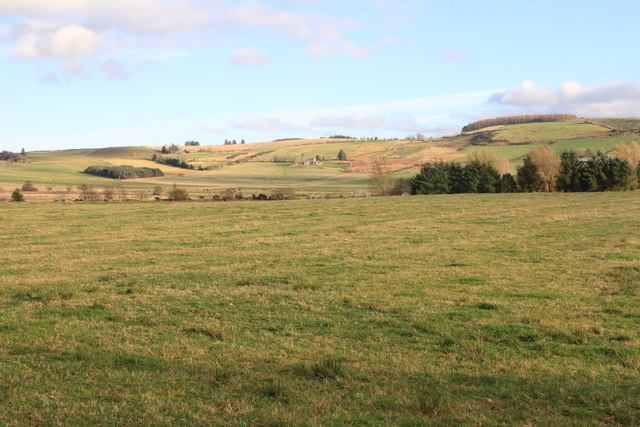
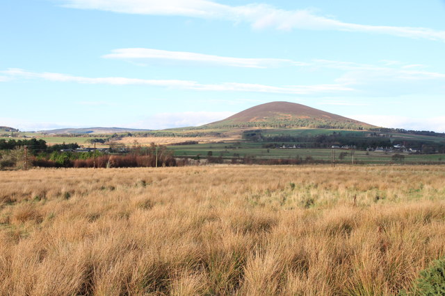
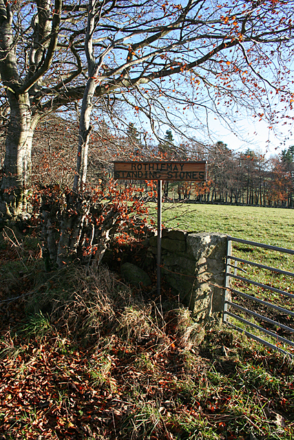
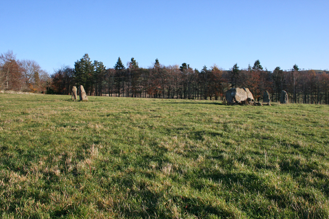
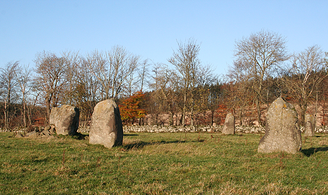
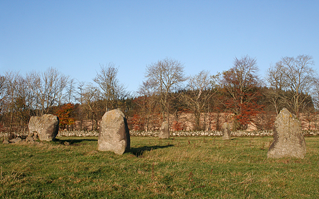
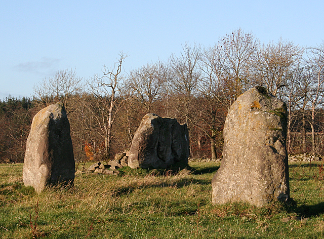
Scraib Wood Images
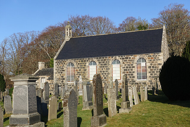
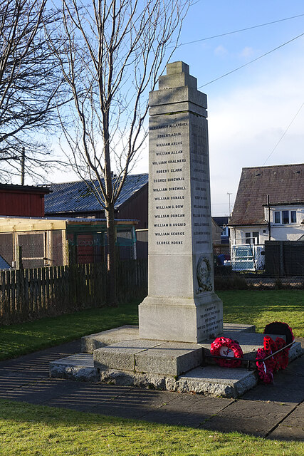
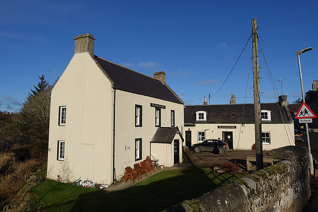
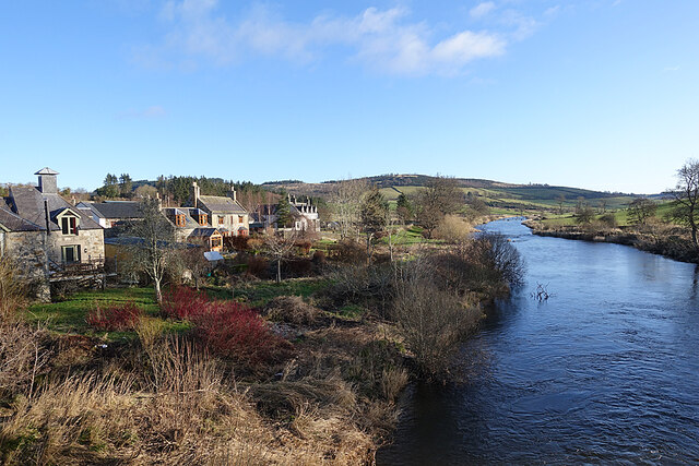
Images are sourced within 2km of 57.537545/-2.7631847 or Grid Reference NJ5449. Thanks to Geograph Open Source API. All images are credited.

Scraib Wood is located at Grid Ref: NJ5449 (Lat: 57.537545, Lng: -2.7631847)
Unitary Authority: Moray
Police Authority: North East
What 3 Words
///solicitor.saunas.flaked. Near Aberchirder, Aberdeenshire
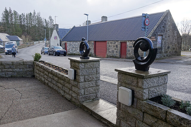
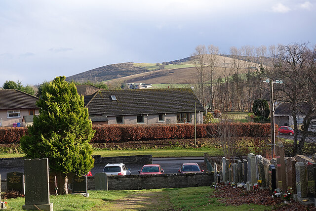
Nearby Locations
Related Wikis

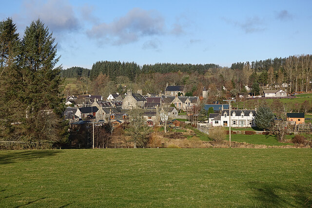
Milltown of Rothiemay
Milltown of Rothiemay (Scottish Gaelic: Ràth a' Mhuigh) is a small inland village, built mostly of granite, in the north-east of Scotland and is within...

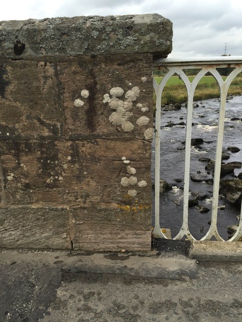
River Isla, Moray
The River Isla (Scottish Gaelic: Uisge Ìle) is a tributary of the River Deveron in North-East Scotland. The area surrounding it is known as Strathisla...
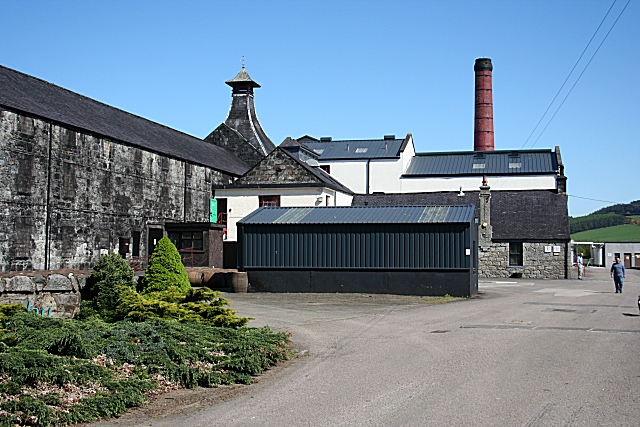
Knockdhu distillery
Knockdhu distillery is a whisky distillery situated in Knock, Banffshire and owned by Inver House Distillers Limited. == History == The distillery was...

Millegin railway station
Millegin railway station, Millagan railway station or later Millegin Siding was briefly an intermediate stop situated on what became the Great North of...
Nearby Amenities
Located within 500m of 57.537545,-2.7631847Have you been to Scraib Wood?
Leave your review of Scraib Wood below (or comments, questions and feedback).