Pyetbush Wood
Wood, Forest in Banffshire
Scotland
Pyetbush Wood
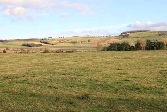
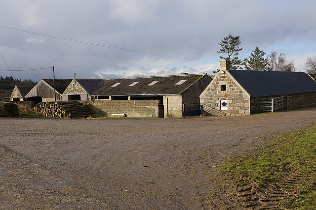
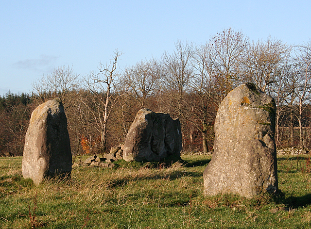
Pyetbush Wood, located in Banffshire, Scotland, is a picturesque forest that offers a tranquil and enchanting experience for nature enthusiasts and visitors alike. Covering an expansive area of approximately 200 acres, this woodland is known for its diverse flora and fauna, making it a haven for wildlife and a popular destination for hikers and birdwatchers.
The wood is predominantly composed of native broadleaf trees, such as oak, birch, and hazel, which create a rich and vibrant canopy that provides shade and shelter for a myriad of plant species. The forest floor is carpeted with a variety of wildflowers, including bluebells, primroses, and wood anemones, adding splashes of color to the landscape.
Traversing through Pyetbush Wood, visitors can explore a network of well-maintained trails that wind through the forest, allowing them to immerse themselves in the tranquil ambiance and enjoy the sights and sounds of nature. These trails offer breathtaking views of the surrounding countryside, including rolling hills and meandering streams.
The wood is also renowned for its diverse wildlife population. Birdwatchers can spot a range of species, including woodpeckers, thrushes, and owls, while lucky visitors may catch a glimpse of red squirrels, roe deer, or even elusive pine martens.
Pyetbush Wood is a protected area, managed by local authorities and conservation organizations, ensuring that its natural beauty and wildlife are preserved for future generations to enjoy. Its accessibility, natural splendor, and rich biodiversity make it a must-visit destination for those seeking a peaceful retreat in the heart of Banffshire's stunning countryside.
If you have any feedback on the listing, please let us know in the comments section below.
Pyetbush Wood Images
Images are sourced within 2km of 57.522905/-2.7658674 or Grid Reference NJ5448. Thanks to Geograph Open Source API. All images are credited.

Pyetbush Wood is located at Grid Ref: NJ5448 (Lat: 57.522905, Lng: -2.7658674)
Unitary Authority: Moray
Police Authority: North East
What 3 Words
///dynasties.elders.healthier. Near Huntly, Aberdeenshire
Nearby Locations
Related Wikis

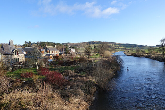
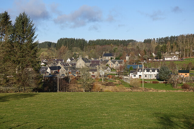
Milltown of Rothiemay
Milltown of Rothiemay (Scottish Gaelic: Ràth a' Mhuigh) is a small inland village, built mostly of granite, in the north-east of Scotland and is within...

River Isla, Moray
The River Isla (Scottish Gaelic: Uisge Ìle) is a tributary of the River Deveron in North-East Scotland. The area surrounding it is known as Strathisla...

Avochie Castle
Avochie Castle is a ruined tower house, dating from the 16th century, or early 17th century, around 4.5 miles (7.2 km) north of Huntly, east of the river...

Rothiemay railway station
Rothiemay railway station served the village of Milltown of Rothiemay, Aberdeenshire, Scotland from 1856 to 1968 on the Great North of Scotland Railway...
Nearby Amenities
Located within 500m of 57.522905,-2.7658674Have you been to Pyetbush Wood?
Leave your review of Pyetbush Wood below (or comments, questions and feedback).