Isla Pot
Lake, Pool, Pond, Freshwater Marsh in Aberdeenshire
Scotland
Isla Pot
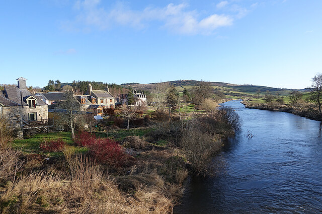
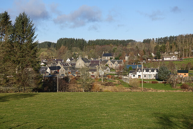
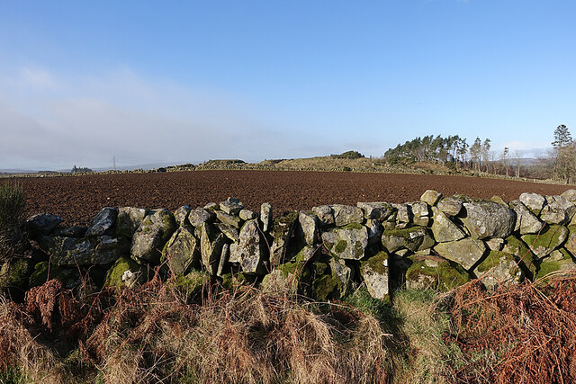
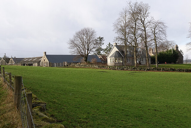
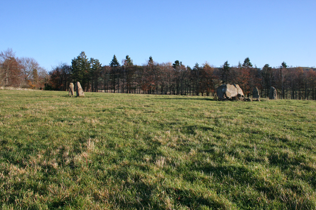
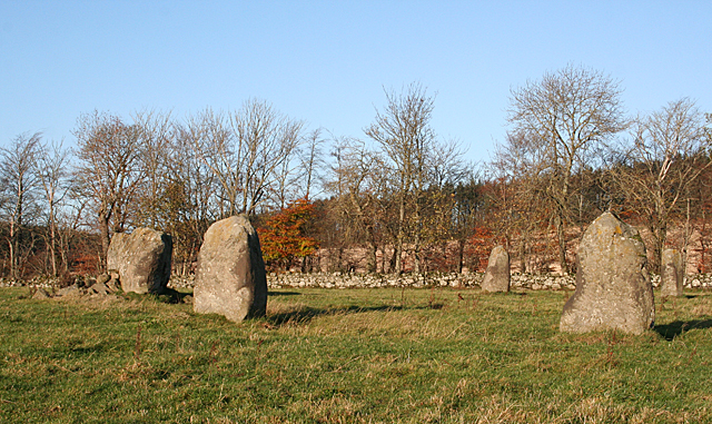
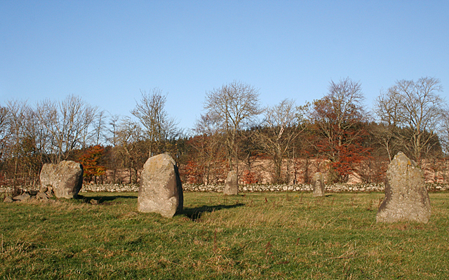
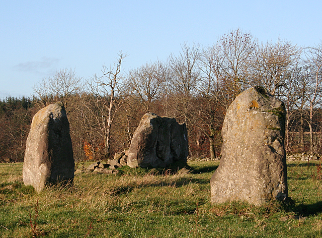
Isla Pot is a picturesque freshwater marsh located in Aberdeenshire, Scotland. Situated near the village of Insch, it encompasses an area of approximately 4 hectares. The name "Isla Pot" is derived from the nearby River Isla, which flows into the marsh and forms a small lake-like formation.
The marsh is characterized by its diverse flora and fauna, making it a haven for wildlife enthusiasts and nature lovers. The vegetation surrounding the marsh includes reeds, sedges, and various water-loving plants, creating a lush and vibrant ecosystem. This abundant plant life provides a suitable habitat for a variety of bird species, such as mallards, teal, and swans, which can often be spotted gracefully gliding across the water.
Isla Pot serves as an important breeding ground for several amphibian species, including frogs and newts. The presence of these amphibians not only adds to the marsh's ecological significance but also offers a unique opportunity for visitors to observe and learn about these fascinating creatures.
The marsh is easily accessible to the public, with designated footpaths and observation points that allow visitors to explore and appreciate the natural beauty of the area. The tranquil ambiance of Isla Pot provides a serene escape from the hustle and bustle of everyday life, making it a popular spot for relaxation and contemplation.
Overall, Isla Pot is a stunning freshwater marsh that showcases the beauty of Aberdeenshire's natural landscapes. With its diverse array of flora and fauna, it offers visitors a chance to connect with nature and immerse themselves in the peacefulness of this idyllic setting.
If you have any feedback on the listing, please let us know in the comments section below.
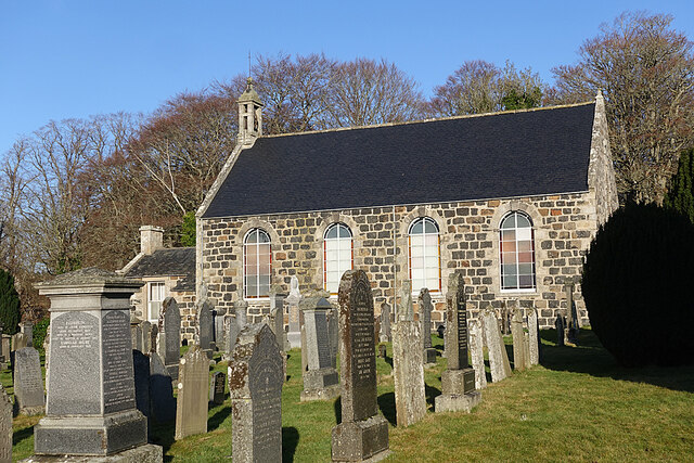
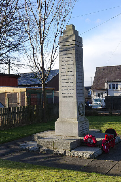
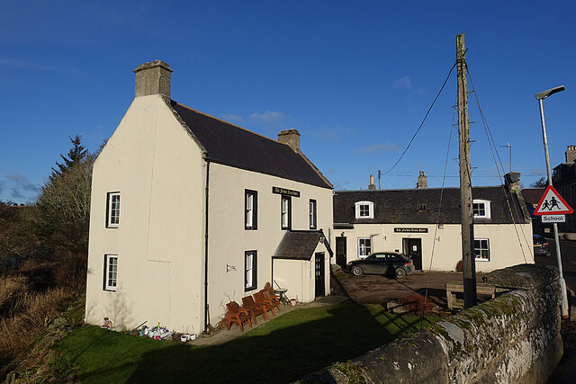
Isla Pot Images
Images are sourced within 2km of 57.519821/-2.769242 or Grid Reference NJ5448. Thanks to Geograph Open Source API. All images are credited.


Isla Pot is located at Grid Ref: NJ5448 (Lat: 57.519821, Lng: -2.769242)
Unitary Authority: Aberdeenshire
Police Authority: North East
What 3 Words
///icon.haunt.pulse. Near Huntly, Aberdeenshire
Nearby Locations
Related Wikis

River Isla, Moray
The River Isla (Scottish Gaelic: Uisge Ìle) is a tributary of the River Deveron in North-East Scotland. The area surrounding it is known as Strathisla...

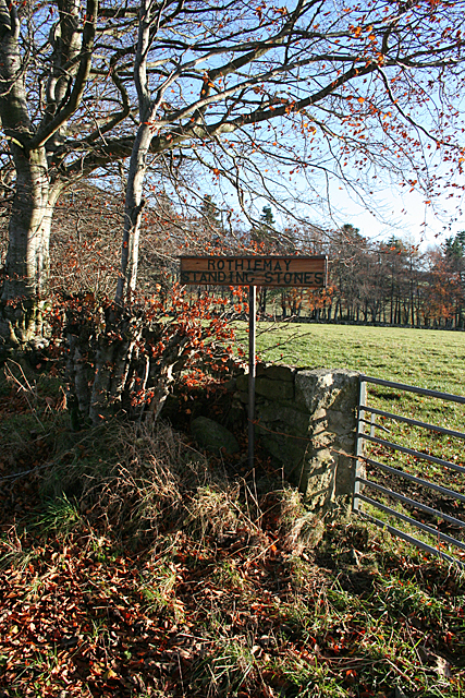
Milltown of Rothiemay
Milltown of Rothiemay (Scottish Gaelic: Ràth a' Mhuigh) is a small inland village, built mostly of granite, in the north-east of Scotland and is within...

Avochie Castle
Avochie Castle is a ruined tower house, dating from the 16th century, or early 17th century, around 4.5 miles (7.2 km) north of Huntly, east of the river...

Rothiemay railway station
Rothiemay railway station served the village of Milltown of Rothiemay, Aberdeenshire, Scotland from 1856 to 1968 on the Great North of Scotland Railway...

Mountains Burn
Mountains Burn is a burn which marks the boundary of the parish of Huntly, Aberdeenshire, Scotland. == References ==
Ruthven, Aberdeenshire
Ruthven (, Gaelic: Ruadhainn), Aberdeenshire is a village in Scotland near Huntly (to the south east), and Keith (to the north west). It is traditionally...
Daugh Castle
Daugh Castle was a castle, about 5 miles (8.0 km) north of Huntly, Aberdeenshire, Scotland, near Cairnie Burn. It was also known as Castle of the Daach...

Millegin railway station
Millegin railway station, Millagan railway station or later Millegin Siding was briefly an intermediate stop situated on what became the Great North of...
Nearby Amenities
Located within 500m of 57.519821,-2.769242Have you been to Isla Pot?
Leave your review of Isla Pot below (or comments, questions and feedback).