Fiddler's Island Streams
Lake, Pool, Pond, Freshwater Marsh in Oxfordshire Oxford
England
Fiddler's Island Streams
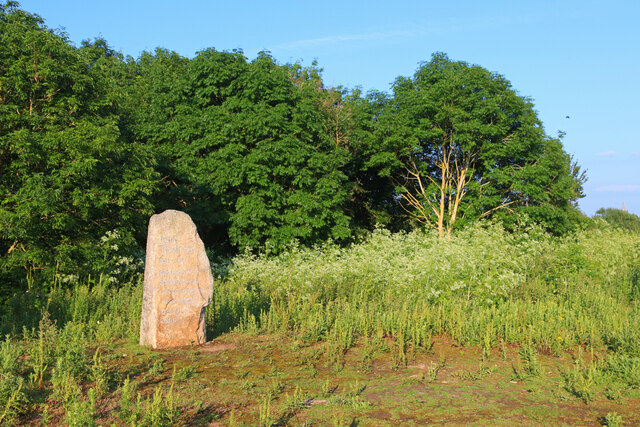
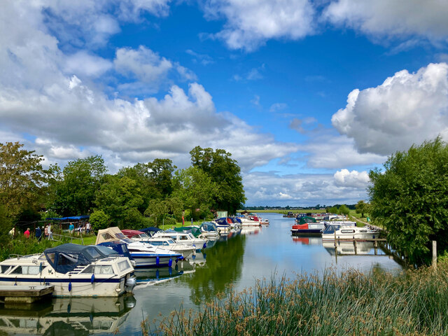
Fiddler's Island Streams, located in Oxfordshire, is a fascinating and picturesque area that encompasses various bodies of water, including lakes, pools, ponds, and freshwater marshes. This natural reserve is renowned for its diverse ecosystem and abundant wildlife, making it a popular destination for nature enthusiasts and birdwatchers.
The main attraction of Fiddler's Island Streams is its tranquil lake, which serves as a habitat for numerous species of waterfowl, including ducks, geese, and swans. Visitors can often spot these graceful birds gliding across the calm waters or nesting along the lake's edges. The lake also provides a peaceful setting for boating and fishing.
Adjacent to the lake, there are smaller pools and ponds that are home to various aquatic plants and creatures. These bodies of water support a rich biodiversity, with frogs, newts, and dragonflies being commonly seen inhabitants. The surrounding vegetation provides a beautiful backdrop, with reeds, rushes, and water lilies adding to the natural charm.
One of the unique features of Fiddler's Island Streams is the presence of freshwater marshes. These marshes are characterized by their wetland plants, such as sedges and grasses, which thrive in the waterlogged conditions. This environment attracts a wide range of bird species, including herons, egrets, and warblers, making it a haven for birdwatchers.
Overall, Fiddler's Island Streams in Oxfordshire offers a diverse and enchanting landscape, with its lakes, pools, ponds, and freshwater marshes providing a thriving habitat for numerous plants and animals. Whether it's birdwatching, fishing, or simply enjoying the serenity of nature, this natural reserve is a must-visit for nature lovers seeking a peaceful and idyllic setting.
If you have any feedback on the listing, please let us know in the comments section below.
Fiddler's Island Streams Images
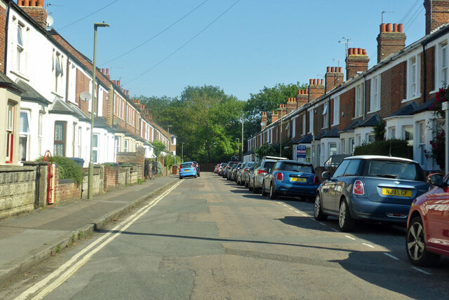
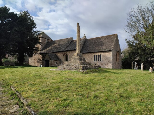
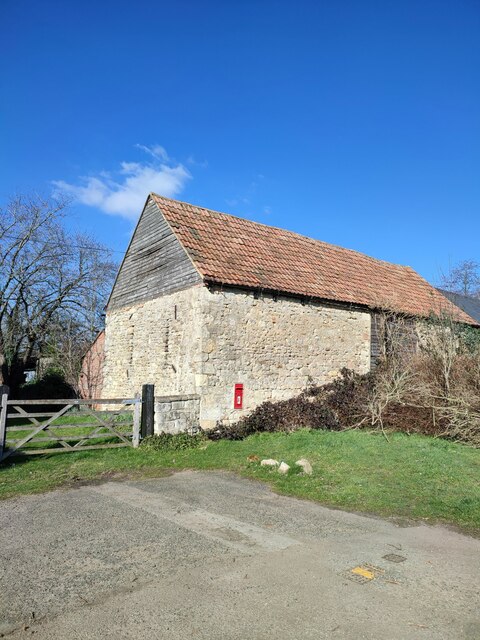
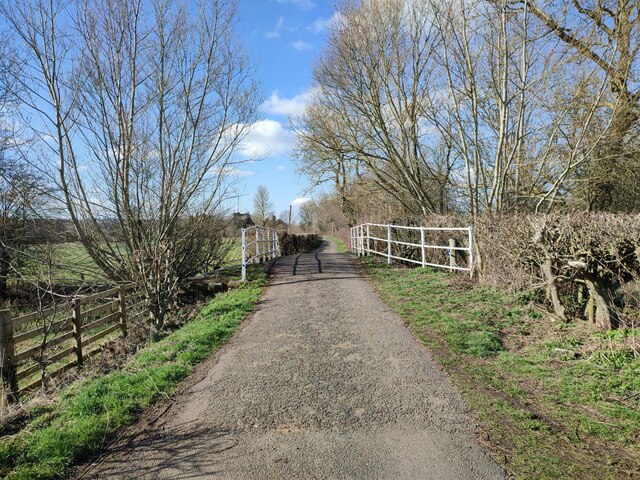
Images are sourced within 2km of 51.757808/-1.2740972 or Grid Reference SP5006. Thanks to Geograph Open Source API. All images are credited.


Fiddler's Island Streams is located at Grid Ref: SP5006 (Lat: 51.757808, Lng: -1.2740972)
Administrative County: Oxfordshire
District: Oxford
Police Authority: Thames Valley
What 3 Words
///mirror.glass.shared. Near Oxford, Oxfordshire
Nearby Locations
Related Wikis
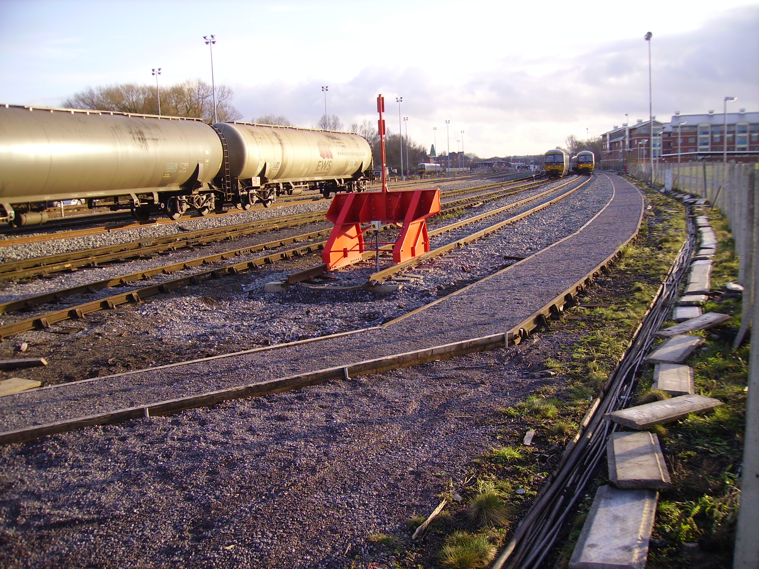
Oxford Down Carriage Sidings
Oxford Down Carriage Sidings are located in Oxford, Oxfordshire, England, just north of Oxford station. == Location == The sidings are located next to...
Cripley Meadow
Cripley Meadow lies between the Castle Mill Stream, a backwater of the River Thames, and the Cotswold Line railway to the east, and Fiddler's Island, on...

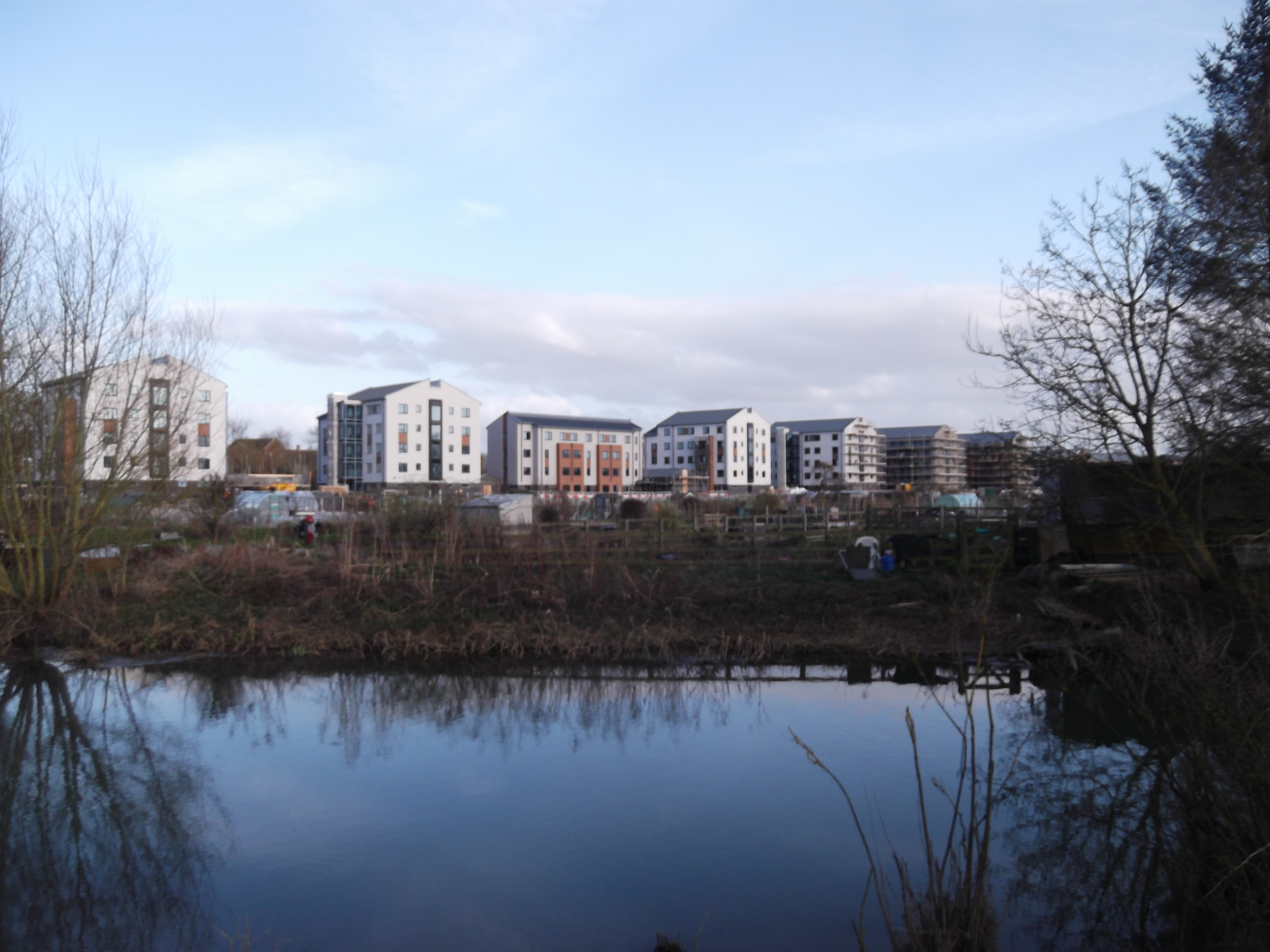
Castle Mill
Castle Mill is a graduate housing complex of the University of Oxford in Oxford, England. == Overview == Castle Mill is located north of Oxford railway...

St Barnabas Church, Oxford
St Barnabas Church is a Church of England parish church in Jericho, central Oxford, England, located close to the Oxford Canal. == History == St Barnabas...

Canal Street, Oxford
Canal Street is a residential street in Jericho, an inner suburb of Oxford, England, northwest of the city centre. The annual Jericho Street Fair takes...

Sheepwash Channel
Sheepwash Channel connects the River Thames to the west and the Castle Mill Stream next to the Oxford Canal to the east (linked through Isis Lock), in...

Sheepwash Channel Railway Bridge
Sheepwash Channel Railway Bridge is a railway bridge over Sheepwash Channel in west Oxford, England, just north of Oxford railway station. To the north...
Rewley Road Swing Bridge
Rewley Road Swing Bridge is a disused railway swing bridge over Sheepwash Channel in west Oxford, England. To the north are Cripley Meadow and Fiddler...
Nearby Amenities
Located within 500m of 51.757808,-1.2740972Have you been to Fiddler's Island Streams?
Leave your review of Fiddler's Island Streams below (or comments, questions and feedback).