Osney
Settlement in Oxfordshire Oxford
England
Osney
Osney is a small village located in Oxfordshire, England. Situated on the western outskirts of the city of Oxford, it is positioned between the River Thames and the Oxford Canal. The village is part of the larger civil parish of Osney Mead, and is known for its scenic surroundings and historical significance.
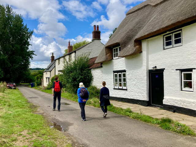
With a population of around 1,000 residents, Osney has a close-knit community atmosphere. The village is primarily residential, characterized by charming cottages and houses, many of which date back to the Victorian era. The area also features some modern developments, blending old and new architecture harmoniously.
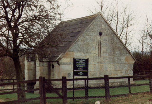
Osney is home to the famous Osney Abbey, which was founded in the 12th century. Although the abbey was dissolved during the Reformation in the 16th century, its ruins remain as a significant historical landmark. The village also boasts several other notable historic buildings, such as Osney Mill and Osney Bridge, which add to its cultural heritage.
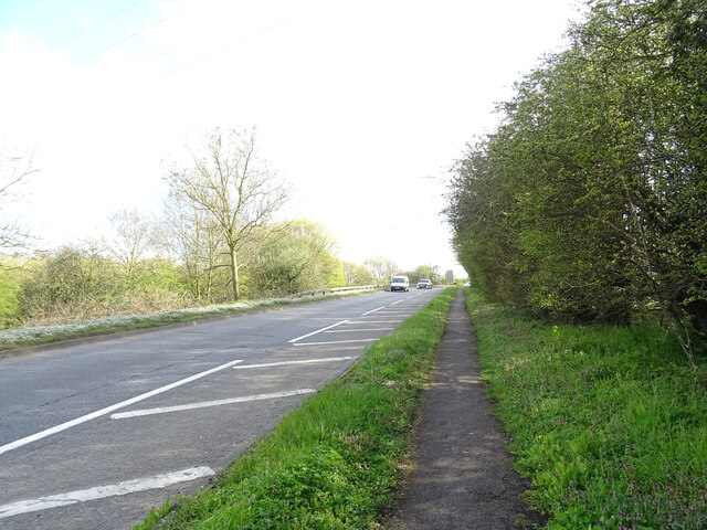
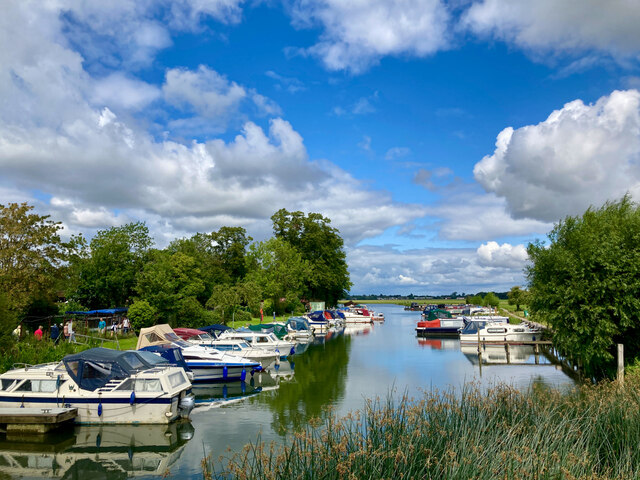
The village offers a peaceful and picturesque setting, with beautiful riverside walks along the Thames and the canal. The nearby Osney Island provides a tranquil retreat from the bustling city, with its leafy green spaces and well-maintained gardens.
Osney benefits from its close proximity to Oxford, which offers a wide range of amenities and attractions. The village has good transportation links, with the Oxford railway station located just a short distance away, connecting it to other major cities in the UK.
Overall, Osney is a charming and historically rich village, offering a peaceful lifestyle while providing easy access to the amenities of Oxford.
If you have any feedback on the listing, please let us know in the comments section below.
Osney Images
Images are sourced within 2km of 51.750866/-1.275658 or Grid Reference SP5006. Thanks to Geograph Open Source API. All images are credited.


Osney is located at Grid Ref: SP5006 (Lat: 51.750866, Lng: -1.275658)
Administrative County: Oxfordshire
District: Oxford
Police Authority: Thames Valley
What 3 Words
///cool.radar.rainy. Near Oxford, Oxfordshire
Nearby Locations
Related Wikis

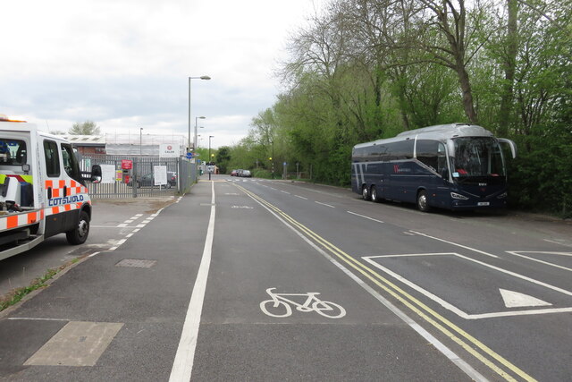
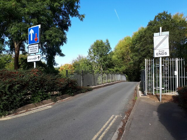
Ferry Hinksey Road
Ferry Hinksey Road is a road in west Oxford, England, leading south from the Botley Road. The road leads to the Osney Mead Industrial Estate to the east...

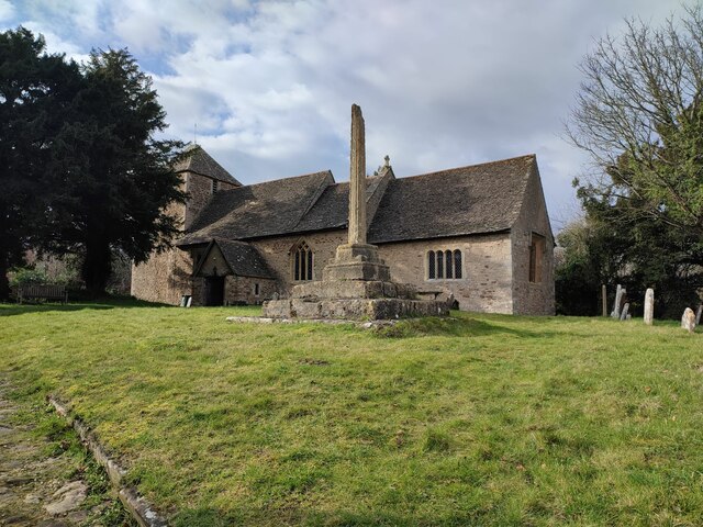
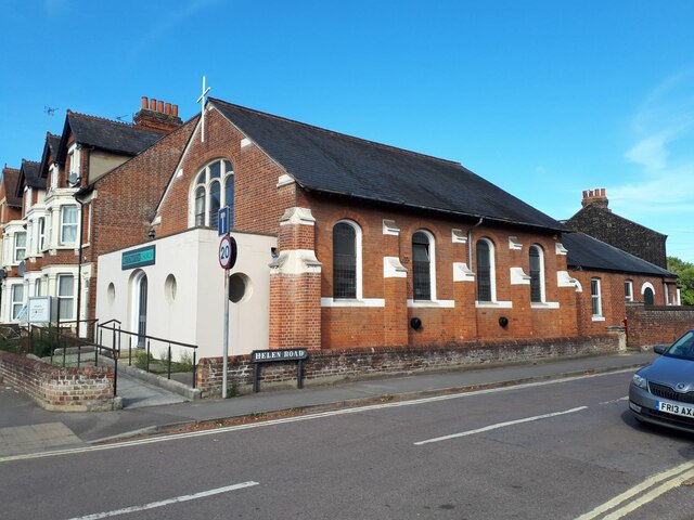
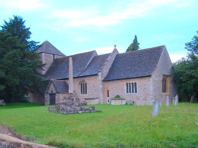
St Frideswide's Church
St Frideswide's Church is a Church of England church on the south side of the Botley Road in New Osney, west Oxford, England. The church is in a district...

Osney
Osney or Osney Island (; an earlier spelling of the name is Oseney) is a riverside community in the west of the city of Oxford, England. In modern times...

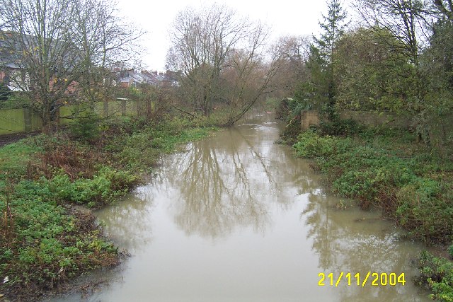
Osney Ditch
The Osney Ditch is a side channel of the River Thames at Oxford, England. It is one of the principal watercourses in west Oxford.The ditch leaves Bulstake...

Osney Lock Hydro
Osney Lock Hydro is a micro hydroelectric scheme in Oxford, England. It is located on the River Thames, using the head of water provided by the weir at...

Osney Bridge
Osney Bridge is a road bridge across the River Thames in Oxford, England, built in 1888 to replace a stone bridge which collapsed in 1885. It carries the...
List of Sites of Special Scientific Interest in Oxfordshire
Oxfordshire in South East England has an area of 2,605 square kilometres and a population of 648,700. In England, the body responsible for designating...

Oxfordshire
Oxfordshire ( OKS-fahd-shər, -sheer; abbreviated Oxon) is a ceremonial county in South East England. The county is bordered by Northamptonshire and Warwickshire...
Nearby Amenities
Located within 500m of 51.750866,-1.275658Have you been to Osney?
Leave your review of Osney below (or comments, questions and feedback).