Worcester College Pond
Lake, Pool, Pond, Freshwater Marsh in Oxfordshire Oxford
England
Worcester College Pond

Worcester College Pond, located in Oxfordshire, England, is a picturesque freshwater feature nestled within the grounds of Worcester College. Spanning approximately 1.5 acres, the pond serves as a serene focal point for visitors and students alike.
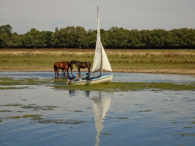
Surrounded by lush greenery and tall trees, Worcester College Pond exhibits a tranquil ambiance, providing a haven for various wildlife species. The still waters of the pond are home to diverse flora and fauna, including water lilies, reeds, and various aquatic plants. These plants not only enhance the visual appeal of the pond but also provide habitats for insects, birds, and small mammals.
The pond's ecosystem supports a variety of aquatic creatures, such as fish, frogs, and newts. These species thrive in the freshwater environment, taking advantage of the ample food supply and sheltered areas provided by the pond's vegetation. The presence of these animals adds to the natural beauty and ecological diversity of the area.
Visitors to Worcester College Pond can enjoy the serenity of the surroundings by strolling along the well-maintained footpaths that encircle the water's edge. Benches strategically placed along the path offer an ideal spot for contemplation or simply enjoying the peaceful atmosphere.
Overall, Worcester College Pond is a tranquil and visually appealing feature within the Oxfordshire landscape. Its diverse ecosystem and serene surroundings make it an attractive destination for nature enthusiasts and those seeking respite from the bustling city life.
If you have any feedback on the listing, please let us know in the comments section below.
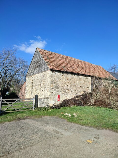
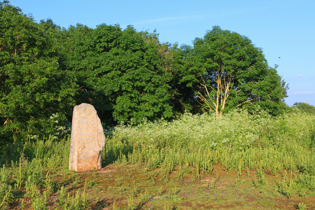
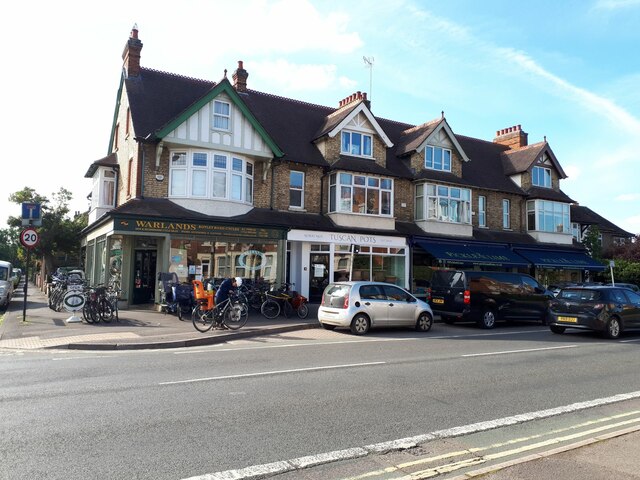
Worcester College Pond Images
Images are sourced within 2km of 51.75526/-1.2663148 or Grid Reference SP5006. Thanks to Geograph Open Source API. All images are credited.


Worcester College Pond is located at Grid Ref: SP5006 (Lat: 51.75526, Lng: -1.2663148)
Administrative County: Oxfordshire
District: Oxford
Police Authority: Thames Valley
What 3 Words
///offer.crowd.that. Near Oxford, Oxfordshire
Nearby Locations
Related Wikis
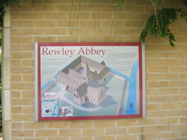
Rewley Abbey
The Cistercian Abbey of Rewley was an abbey in Oxford, England. It was founded in the 13th century by Edmund, 2nd Earl of Cornwall. Edmund's father, Richard...

Greek College, Oxford
The Greek College, established 1699, was a short-lived attempt to create a separate college for Greek Orthodox students at Oxford University in Oxford...

Worcester College, Oxford
Worcester College ( WUUST-ər) is one of the constituent colleges of the University of Oxford in England. The college was founded in 1714 by the benefaction...

Gloucester College, Oxford
Gloucester College, Oxford, was a Benedictine institution of the University of Oxford in Oxford, England, from the late 13th century until the dissolution...
Carfax College
Carfax College, previously known as Carfax Tutorial Establishment is a registered independent school in England, specializing in providing one-to-one...

Hythe Bridge Street
Hythe Bridge Street is in the west of central Oxford, England, forming part of the A4144 road. == History == There has been a road here since at least...
Oxford International College
Oxford International College (OIC) is an independent college based in central Oxford, United Kingdom for girls and boys from 14 to 18 years. The school...

Hythe Bridge
Hythe Bridge (formerly known as High Bridge) is a Victorian flat cast iron beamed bridge on Hythe Bridge Street in the west of central Oxford, England...
Nearby Amenities
Located within 500m of 51.75526,-1.2663148Have you been to Worcester College Pond?
Leave your review of Worcester College Pond below (or comments, questions and feedback).