Bath Pond
Lake, Pool, Pond, Freshwater Marsh in Yorkshire
England
Bath Pond

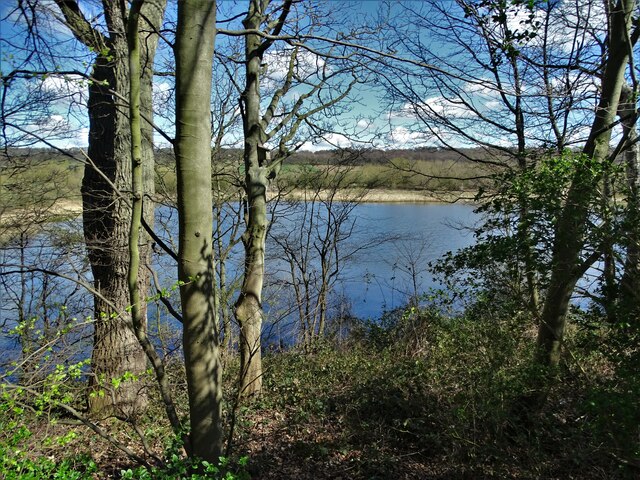
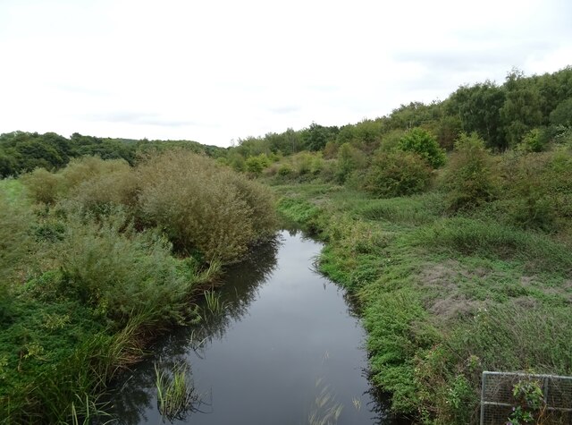
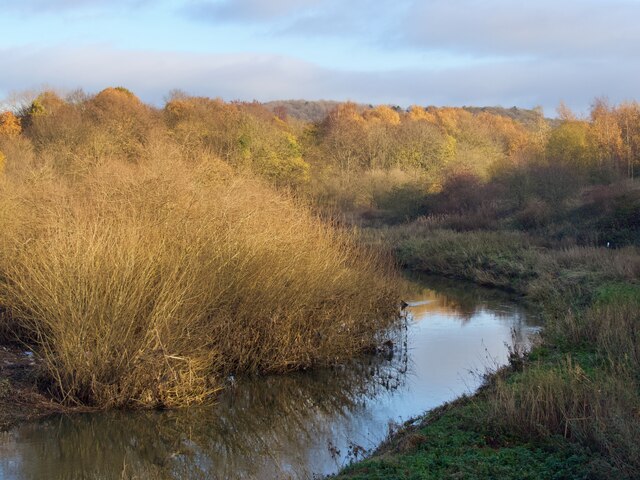
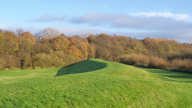
Bath Pond, located in Yorkshire, is a serene freshwater marsh that offers a tranquil escape for nature enthusiasts and wildlife lovers alike. Spanning an area of approximately 2 acres, the pond is nestled amidst the picturesque countryside, surrounded by verdant meadows and gently rolling hills.
The pond itself is a natural water body, characterized by its calm, crystal-clear waters. It is often referred to as a pond due to its smaller size in comparison to nearby lakes. The depth of Bath Pond varies, with some areas reaching up to 10 feet deep, providing a diverse habitat for a wide range of aquatic plants and animals.
The surrounding area of Bath Pond is rich in biodiversity, with an abundance of flora and fauna. The marshy edges of the pond are lined with tall reeds and sedges, providing a perfect nesting ground for various water birds, including mallards, moorhens, and coots. The pond also attracts a variety of dragonflies and damselflies, adding to its natural beauty.
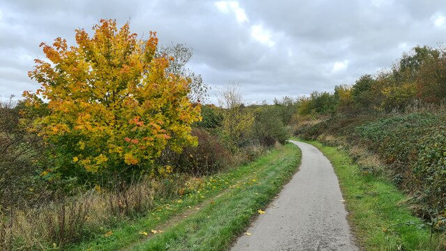
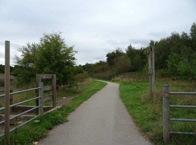
Visitors to Bath Pond can enjoy leisurely walks around its circumference, observing the vibrant wildlife and soaking in the peaceful ambiance. Anglers are also drawn to the pond, as it is home to a variety of fish species, including common carp, perch, and roach.
Overall, Bath Pond offers a serene and idyllic retreat for those seeking a break from the hustle and bustle of everyday life. Its natural beauty and diverse ecosystem make it a haven for wildlife and a delight for nature enthusiasts.
If you have any feedback on the listing, please let us know in the comments section below.
Bath Pond Images
Images are sourced within 2km of 53.511032/-1.2441337 or Grid Reference SE5001. Thanks to Geograph Open Source API. All images are credited.


Bath Pond is located at Grid Ref: SE5001 (Lat: 53.511032, Lng: -1.2441337)
Division: West Riding
Unitary Authority: Doncaster
Police Authority: South Yorkshire
What 3 Words
///responded.tilts.wisely. Near Barnburgh, South Yorkshire
Related Wikis

Doncaster Business School
Doncaster Business School was the business school of Doncaster College, England. Established in 1992, as Dearne Valley Business School, the school offered...

High Melton
High Melton is a village and civil parish in the City of Doncaster in South Yorkshire, England. It had a population of 339 in 2001, reducing to 300 at...
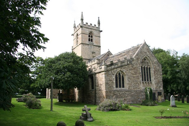
St James' Church, High Melton
St James' Church, High Melton is a parish church of the Church of England in High Melton, South Yorkshire, England. == Background == The Church of St James...

Denaby Halt railway station
Denaby Halt was a small railway station on the Dearne Valley Railway (DVR), intended to serve the mining community of Denaby Main in South Yorkshire, England...

St John the Evangelist's Church, Cadeby
St John the Evangelist's Church is a redundant Anglican church in the village of Cadeby, South Yorkshire, England. It is recorded in the National Heritage...

River Dearne
The River Dearne South Yorkshire, England flows roughly east for more than 30 kilometres (19 mi), from its source just inside West Yorkshire. It flows...

Cadeby, South Yorkshire
Cadeby is a village and civil parish in the City of Doncaster in South Yorkshire, England. The population at the census of 2011 was 203. It is about five...

Barnburgh
Barnburgh is a village and civil parish in the City of Doncaster in South Yorkshire, England. The village is adjacent to the village of Harlington - the...
Nearby Amenities
Located within 500m of 53.511032,-1.2441337Have you been to Bath Pond?
Leave your review of Bath Pond below (or comments, questions and feedback).