Bath House Plantation
Wood, Forest in Yorkshire
England
Bath House Plantation

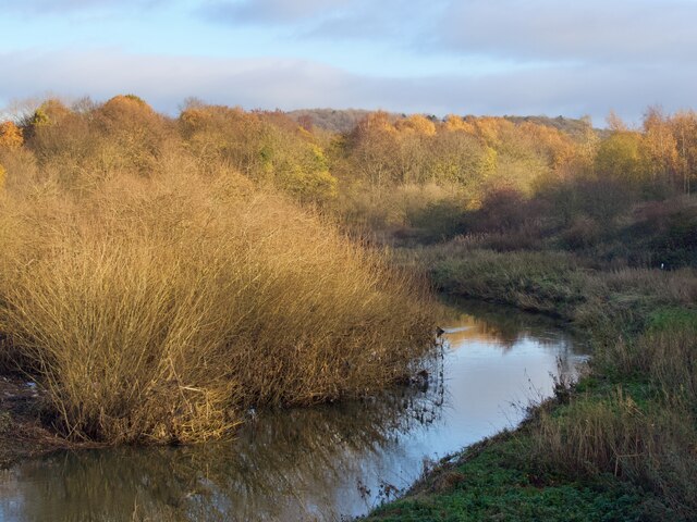
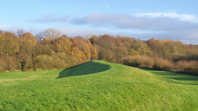
Bath House Plantation, located in Yorkshire, is a picturesque woodland area known for its natural beauty and rich history. Nestled in the heart of the county, this enchanting forest spans across a vast area and offers a serene escape for nature lovers and outdoor enthusiasts.
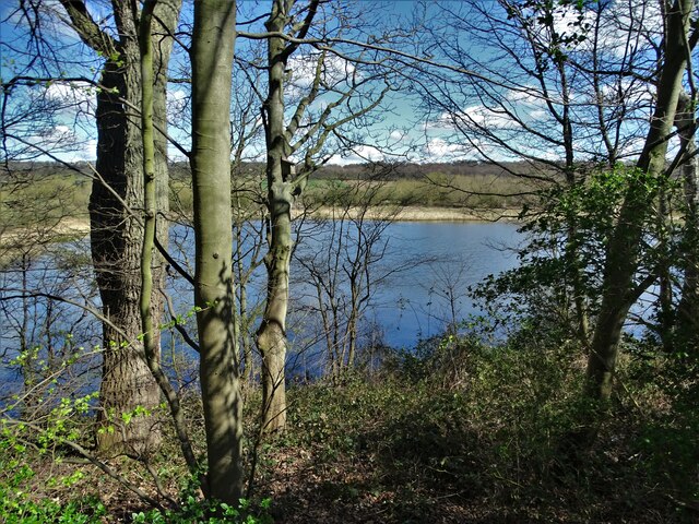
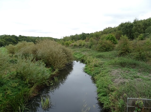
The woodland is predominantly composed of various species of trees, including oak, beech, and birch, which create a dense canopy overhead. This lush greenery provides a home to a diverse range of flora and fauna, making it a perfect spot for wildlife spotting and birdwatching. Visitors can wander through the winding trails, breathing in the fresh air and immersing themselves in the peaceful ambiance.
One of the key attractions within Bath House Plantation is its namesake, the Bath House. This historic building dates back to the 18th century and was once used as a spa retreat. Although the Bath House is no longer operational, its remnants serve as a reminder of the area's past and add a touch of charm to the surroundings.
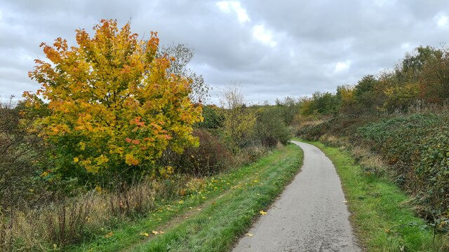
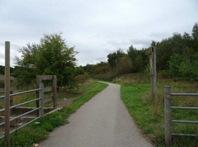
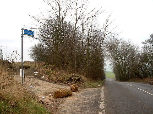
The plantation is also known for its well-maintained footpaths, which make it accessible for hikers and walkers of all abilities. These trails wind through the woods, offering scenic views of the surrounding countryside and glimpses of local wildlife. Additionally, there are picnic areas dotted throughout the woodland, allowing visitors to relax and enjoy a meal amidst nature's beauty.
Bath House Plantation is a place where tranquility and history intertwine, making it a must-visit destination for those seeking a peaceful retreat in the heart of Yorkshire's natural wonders.
If you have any feedback on the listing, please let us know in the comments section below.
Bath House Plantation Images
Images are sourced within 2km of 53.510854/-1.2443781 or Grid Reference SE5001. Thanks to Geograph Open Source API. All images are credited.


Bath House Plantation is located at Grid Ref: SE5001 (Lat: 53.510854, Lng: -1.2443781)
Division: West Riding
Unitary Authority: Doncaster
Police Authority: South Yorkshire
What 3 Words
///registers.length.disband. Near Barnburgh, South Yorkshire
Nearby Locations
Related Wikis

Doncaster Business School
Doncaster Business School was the business school of Doncaster College, England. Established in 1992, as Dearne Valley Business School, the school offered...

High Melton
High Melton is a village and civil parish in the City of Doncaster in South Yorkshire, England. It had a population of 339 in 2001, reducing to 300 at...
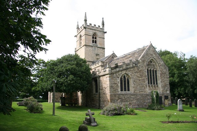
St James' Church, High Melton
St James' Church, High Melton is a parish church of the Church of England in High Melton, South Yorkshire, England. == Background == The Church of St James...

Denaby Halt railway station
Denaby Halt was a small railway station on the Dearne Valley Railway (DVR), intended to serve the mining community of Denaby Main in South Yorkshire, England...

St John the Evangelist's Church, Cadeby
St John the Evangelist's Church is a redundant Anglican church in the village of Cadeby, South Yorkshire, England. It is recorded in the National Heritage...

River Dearne
The River Dearne South Yorkshire, England flows roughly east for more than 30 kilometres (19 mi), from its source just inside West Yorkshire. It flows...

Cadeby, South Yorkshire
Cadeby is a village and civil parish in the City of Doncaster in South Yorkshire, England. The population at the census of 2011 was 203. It is about five...

Barnburgh
Barnburgh is a village and civil parish in the City of Doncaster in South Yorkshire, England. The village is adjacent to the village of Harlington - the...
Nearby Amenities
Located within 500m of 53.510854,-1.2443781Have you been to Bath House Plantation?
Leave your review of Bath House Plantation below (or comments, questions and feedback).