High Melton
Settlement in Yorkshire
England
High Melton
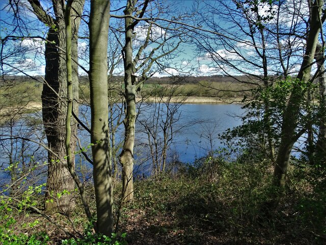
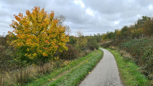
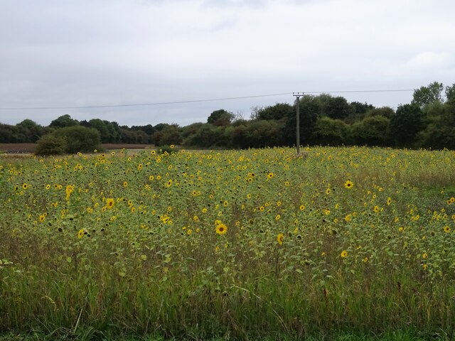
High Melton is a small village located in the county of Yorkshire in northern England. Situated approximately 7 miles north-west of Doncaster, it falls within the Metropolitan Borough of Doncaster. The village is nestled amidst picturesque countryside, characterized by rolling hills and lush green fields.
High Melton is known for its rich historical significance, with evidence of human habitation dating back to the Neolithic period. The village is home to several notable landmarks, including the Grade I listed St. James Church, a charming 12th-century structure that showcases stunning architectural features.
One prominent feature of High Melton is its close association with education. The village is home to the University Centre Doncaster, a higher education institution offering a range of courses and programs. The campus, located within the beautiful surroundings of High Melton Park, provides a serene and conducive environment for learning.
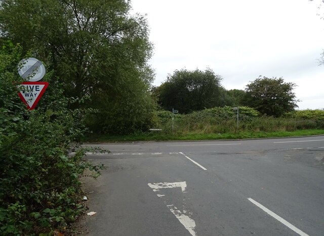
The village also offers a range of amenities and services for its residents. These include a village hall, a post office, and a local pub that serves as a social hub for the community. High Melton benefits from excellent transport links, with easy access to major roads such as the A1 and M18, facilitating convenient travel to nearby towns and cities.
Overall, High Melton presents a tranquil and idyllic setting, offering a blend of natural beauty, historical significance, and educational opportunities. It is a charming village that attracts both residents and visitors alike with its peaceful ambiance and rich heritage.
If you have any feedback on the listing, please let us know in the comments section below.
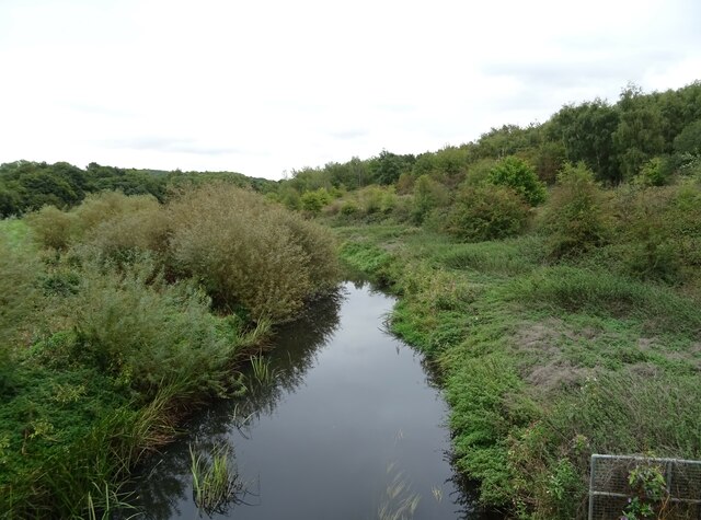
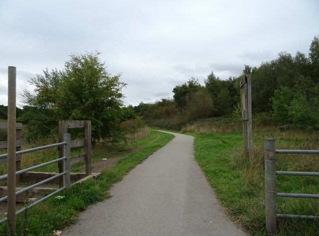
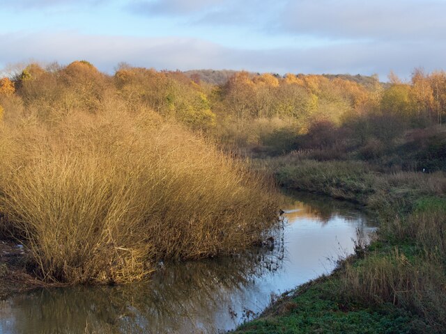
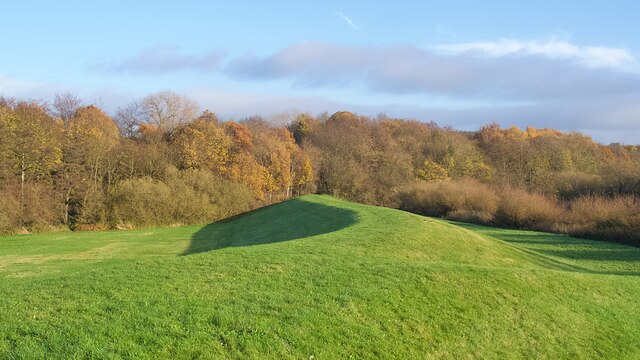
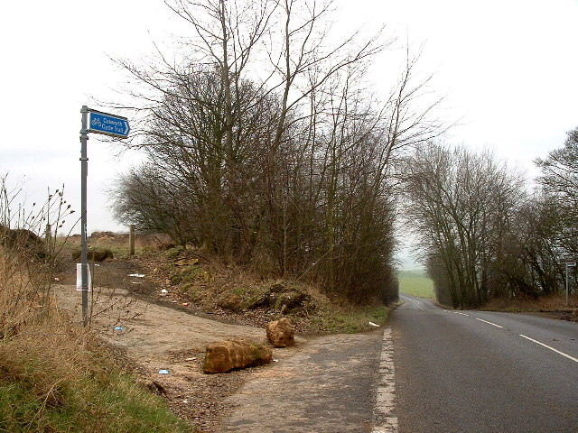
High Melton Images
Images are sourced within 2km of 53.51178/-1.23461 or Grid Reference SE5001. Thanks to Geograph Open Source API. All images are credited.


High Melton is located at Grid Ref: SE5001 (Lat: 53.51178, Lng: -1.23461)
Division: West Riding
Unitary Authority: Doncaster
Police Authority: South Yorkshire
What 3 Words
///hurls.bookmark.quilt. Near Barnburgh, South Yorkshire
Related Wikis

High Melton
High Melton is a village and civil parish in the City of Doncaster in South Yorkshire, England. It had a population of 339 in 2001, reducing to 300 at...

Doncaster Business School
Doncaster Business School was the business school of Doncaster College, England. Established in 1992, as Dearne Valley Business School, the school offered...
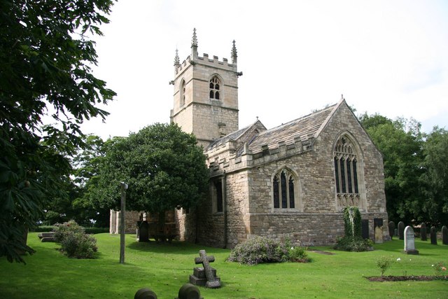
St James' Church, High Melton
St James' Church, High Melton is a parish church of the Church of England in High Melton, South Yorkshire, England. == Background == The Church of St James...

Denaby Halt railway station
Denaby Halt was a small railway station on the Dearne Valley Railway (DVR), intended to serve the mining community of Denaby Main in South Yorkshire, England...
Nearby Amenities
Located within 500m of 53.51178,-1.23461Have you been to High Melton?
Leave your review of High Melton below (or comments, questions and feedback).