New Osney
Settlement in Oxfordshire Oxford
England
New Osney
New Osney is a small residential area located in the city of Oxford, Oxfordshire, England. It is situated to the west of the city center, adjacent to the River Thames and the Oxford Canal. The area is predominantly residential, with a mix of housing styles including Victorian terraces and modern apartment buildings.
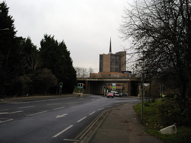
New Osney is known for its close proximity to Oxford railway station, which is a major transportation hub connecting the city to other parts of the country. The area benefits from excellent transport links, with regular train services to London, Birmingham, and other major cities. Additionally, the city center is within walking distance, making it convenient for residents to access a wide range of amenities, including shops, restaurants, and cultural attractions.
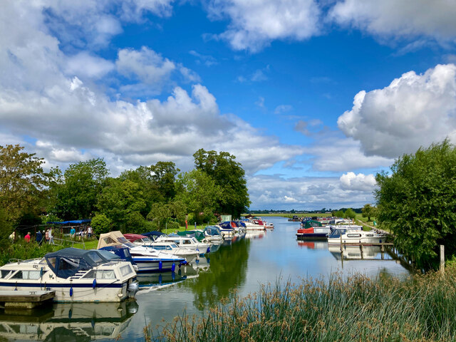
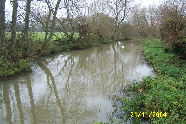
Despite its urban location, New Osney offers a peaceful and picturesque environment. The riverside location provides opportunities for leisurely walks, picnics, and boating activities. The nearby Port Meadow, a large expanse of open common land, is a popular spot for outdoor recreational activities such as cycling and horse riding.
The community in New Osney is diverse, with a mix of families, young professionals, and students. The area is home to several educational institutions, including the University of Oxford's Said Business School and the Oxford University Press. This, in turn, contributes to an intellectually stimulating atmosphere.
Overall, New Osney offers a desirable residential location that combines the tranquility of riverside living with the convenience of being close to the city center and excellent transport links.
If you have any feedback on the listing, please let us know in the comments section below.
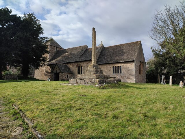
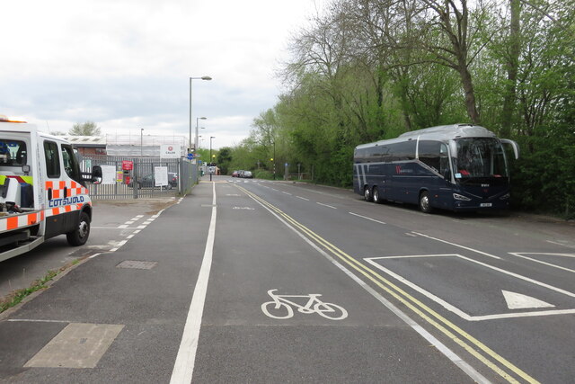
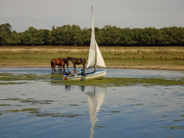
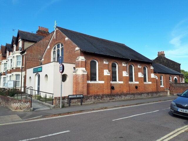
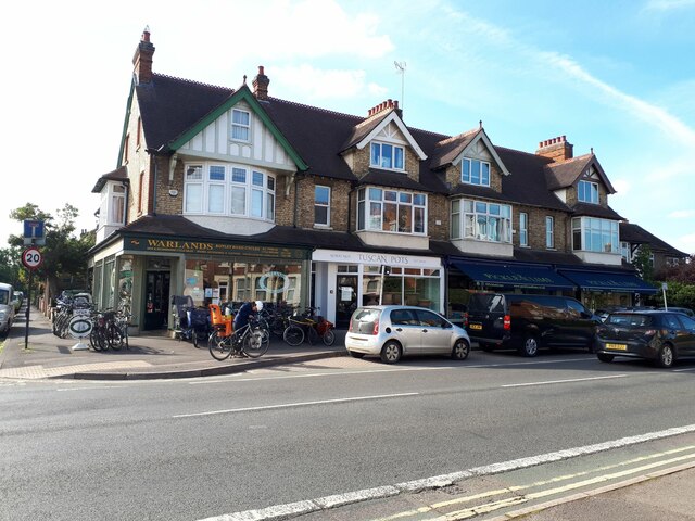
New Osney Images
Images are sourced within 2km of 51.750576/-1.2707799 or Grid Reference SP5006. Thanks to Geograph Open Source API. All images are credited.


New Osney is located at Grid Ref: SP5006 (Lat: 51.750576, Lng: -1.2707799)
Administrative County: Oxfordshire
District: Oxford
Police Authority: Thames Valley
What 3 Words
///audio.insect.ticket. Near Oxford, Oxfordshire
Related Wikis
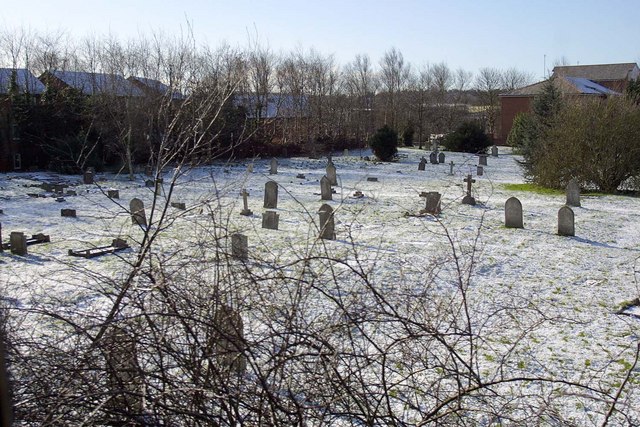
Osney Cemetery
Osney Cemetery (also known as Osney St Mary Cemetery) is a disused Church of England cemetery in Osney, west Oxford, England. Its entrance is in Osney...

Osney Abbey
Osney Abbey or Oseney Abbey, later Osney Cathedral, was a house of Augustinian canons at Osney in Oxfordshire. The site is south of the modern Botley...

Mill Street, Oxford
Mill Street is a street in Oxford, England. It is a cul-de-sac that runs south from the Botley Road close to Oxford railway station. It includes residential...
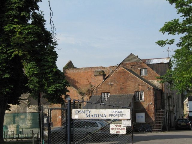
Osney Mill
Osney Mill is a former flour mill on a branch of the River Thames in Oxford, England, located south of the Botley Road, down Mill Street. While the mill...

Osney Lock Hydro
Osney Lock Hydro is a micro hydroelectric scheme in Oxford, England. It is located on the River Thames, using the head of water provided by the weir at...

St Thomas the Martyr's Church, Oxford
St Thomas the Martyr Church is a Church of England parish church of the Anglo-Catholic tradition, in Oxford, England, near Oxford railway station in Osney...

Osney Lock
Osney Lock is a lock on the River Thames in Oxford, England, where the village or island of Osney is next to the river. The first lock was built of stone...

Osney
Osney or Osney Island (; an earlier spelling of the name is Oseney) is a riverside community in the west of the city of Oxford, England. In modern times...
Nearby Amenities
Located within 500m of 51.750576,-1.2707799Have you been to New Osney?
Leave your review of New Osney below (or comments, questions and feedback).