Abbey Mill Race
Lake, Pool, Pond, Freshwater Marsh in Yorkshire
England
Abbey Mill Race
Abbey Mill Race is a stunning freshwater marsh located in Yorkshire, England. Spanning across an area of approximately 5 acres, this natural wonder is known for its diverse ecosystem and serene beauty. With its picturesque lake, pool, pond, and freshwater marsh, Abbey Mill Race offers a haven for various species of flora and fauna.
The centerpiece of this idyllic landscape is the lake, which stretches across the heart of the marsh. The lake, with its crystal-clear water, is home to a myriad of aquatic plants and animals. Visitors can spot vibrant water lilies floating gracefully on the surface, while fish such as roach, perch, and carp swim beneath.
Adjacent to the lake, there is a tranquil pool that attracts a variety of bird species. Birdwatchers flock to Abbey Mill Race to catch a glimpse of kingfishers, herons, and even the occasional osprey. The pool also serves as a watering hole for deer, rabbits, and other small mammals that frequent the area.
As you explore further into the marsh, you will come across a small but enchanting pond. This oasis is teeming with fascinating amphibians, including frogs, toads, and newts. It is also a popular spot for dragonflies and damselflies, their iridescent wings adding a touch of brilliance to the surroundings.
Lastly, the freshwater marsh itself is a haven for a diverse range of plants, from reeds and rushes to sedges and willows. The marsh provides a vital habitat for many species, including insects, butterflies, and even small mammals.
Abbey Mill Race, with its combination of lake, pool, pond, and freshwater marsh, is a sanctuary for nature lovers and a haven for wildlife. It offers a peaceful and awe-inspiring experience, allowing visitors to connect with the beauty and serenity of Yorkshire's natural landscapes.
If you have any feedback on the listing, please let us know in the comments section below.
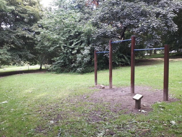
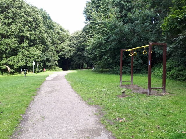
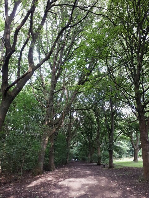
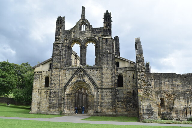
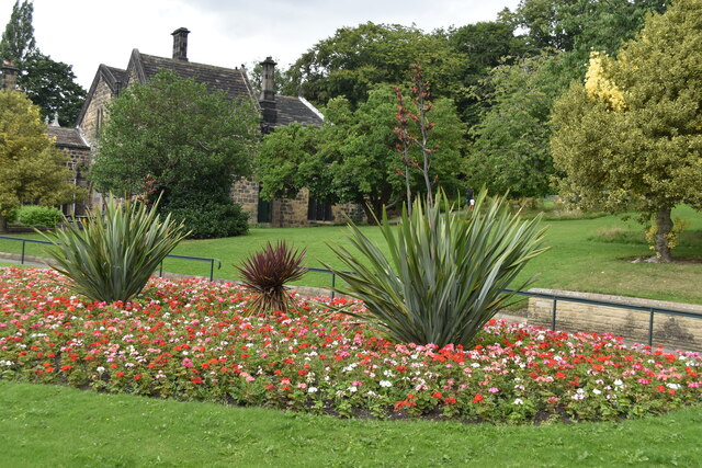
Abbey Mill Race Images
Images are sourced within 2km of 53.829537/-1.6266811 or Grid Reference SE2437. Thanks to Geograph Open Source API. All images are credited.

Abbey Mill Race is located at Grid Ref: SE2437 (Lat: 53.829537, Lng: -1.6266811)
Division: West Riding
Unitary Authority: Leeds
Police Authority: West Yorkshire
What 3 Words
///longer.plan.watch. Near Horsforth, West Yorkshire
Nearby Locations
Related Wikis
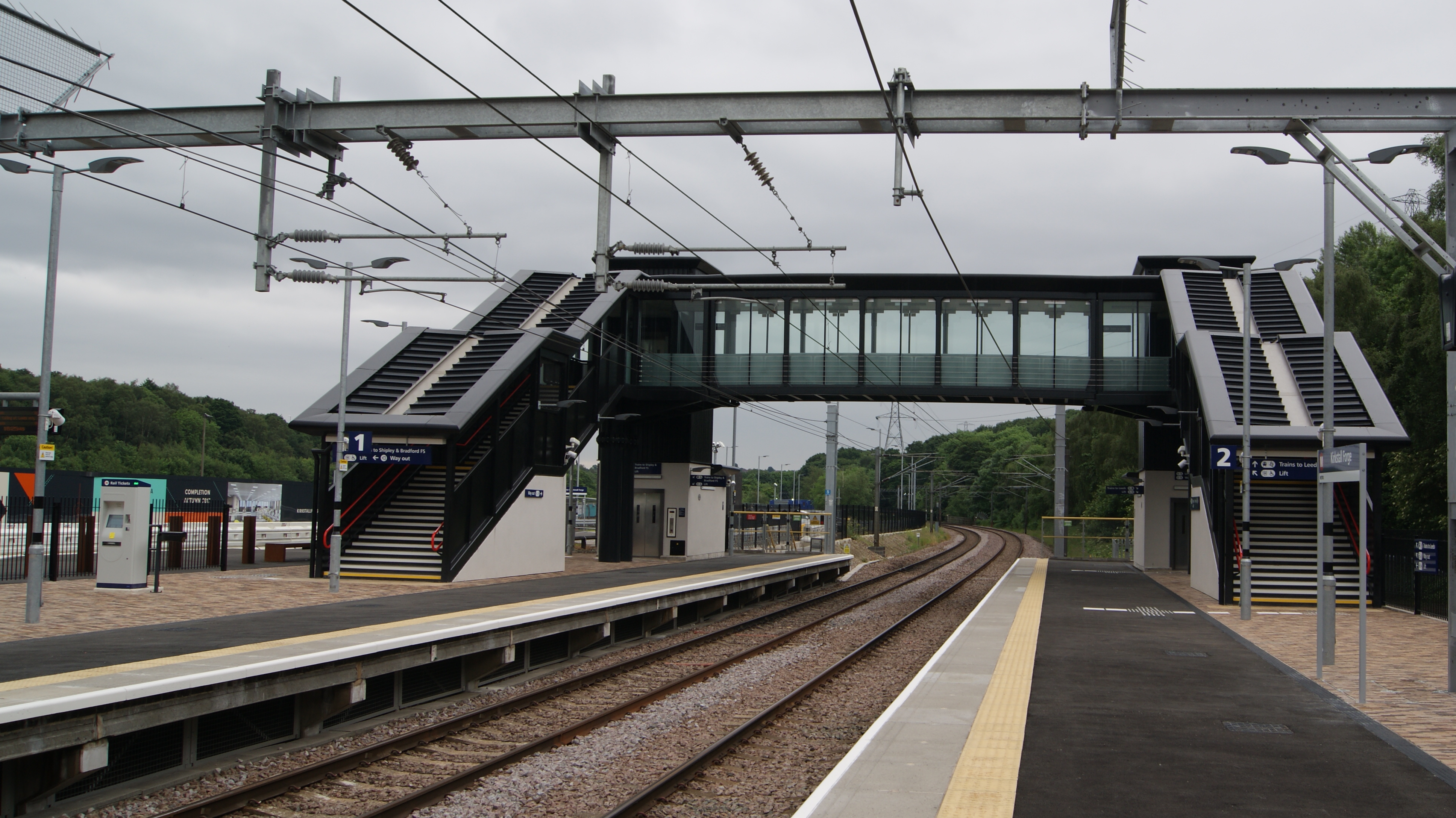
Kirkstall Forge railway station
Kirkstall Forge railway station is a station serving the Kirkstall area of Leeds, West Yorkshire, England. It is on the Leeds to Bradford Line between...

Newlay
Newlay is a suburb of Horsforth, in West Yorkshire, England. Originally a hamlet, it is now part of Horsforth parish in the City of Leeds District, and...

Newlay and Horsforth railway station
Newlay and Horsforth railway station, until 1889 and from 1961 called Newlay station, was a station on the route of the former Leeds and Bradford Railway...
Bramley Fall stone
Bramley Fall Stone stone belongs to the Millstone Grit series, of the Namurian stage of the Carboniferous Period. It is one of the cheapest and best-adapted...

Hawksworth, Leeds
Hawksworth is a small, early twentieth-century council estate in the Kirkstall ward in Leeds, West Yorkshire, England. It is situated on a hill between...

Grove Methodist Church
The Grove Methodist Church is a Grade II listed Methodist church in the village of Horsforth, Leeds, England, part of the Leeds South and West Methodist...

Moorside, Leeds
Moorside is part of the Bramley area of Leeds, West Yorkshire, England. Moorside falls within the Bramley and Stanningley ward of the Leeds Metropolitan...

Horsforth Woodside railway station
Horsforth Woodside was a proposed railway station that was to be built on the site of Woodside Quarry near Horsforth in West Yorkshire, England. It would...
Related Videos

Bramley, Leeds Morning Walk - 4K-HDR 60fps / Walking Tour | 列斯 Bramley 早晨漫行 / 導賞行
This walking tour of Bramley, Leeds was filmed on Saturday June 25st, 2022 starting at 11:40 AM at Haley's Yard. No part of this ...

Walking Around Newlay Bridge / Riverside Walk Horsforth October 2020
Join me as I take a short stroll through Horsforth and explore the Newlay Bridge area! New video everyday 8pm GMT! Follow me ...

Solo Walking Kirkstall Abbey in Leeds, England
In this video, I am solo walking around Kirkstall Abbey, which is a ruined Cistercian monastery in Kirkstall, north-west of Leeds city ...
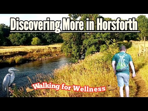
A Walk Around Beautiful Horsforth #walking#countryside#rivers#mentalhealth#horsforth
Welcome back everyone. In this video I take a walk down by the river near Horsforth then across country and up by Cragg Wood.
Nearby Amenities
Located within 500m of 53.829537,-1.6266811Have you been to Abbey Mill Race?
Leave your review of Abbey Mill Race below (or comments, questions and feedback).