Hawksworth Wood
Wood, Forest in Yorkshire
England
Hawksworth Wood
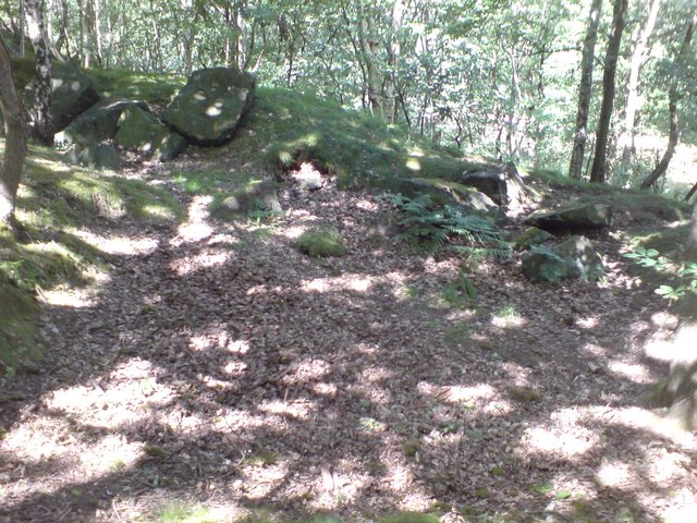
Hawksworth Wood is a small woodland area located in the city of Leeds, Yorkshire, England. Situated in the Hawksworth area, the wood covers an area of approximately 30 hectares (74 acres) and is a popular spot for outdoor activities and nature enthusiasts.
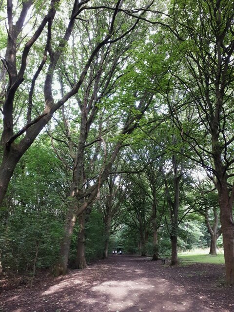
The wood features a diverse range of tree species, including oak, birch, and beech, creating a lush and vibrant environment. The dense canopy provides a haven for numerous bird species, such as woodpeckers and thrushes, making it a haven for birdwatchers.
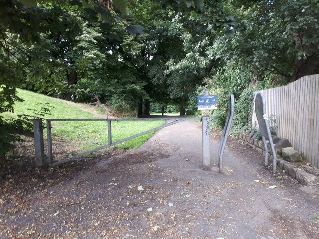
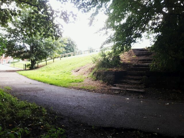
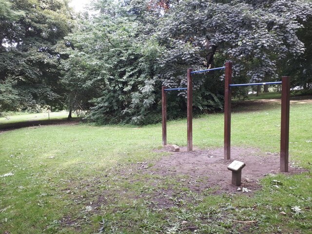
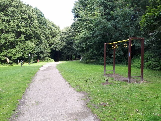
Tranquil pathways wind through the wood, offering visitors the opportunity to explore and enjoy the peaceful surroundings. These paths are well-maintained, making it accessible for both walkers and cyclists. The wood also has a designated picnic area, allowing visitors to relax and enjoy a meal amidst the natural beauty.
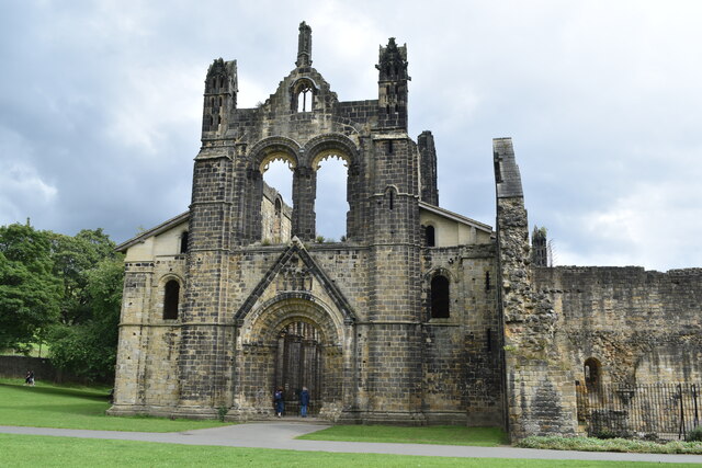
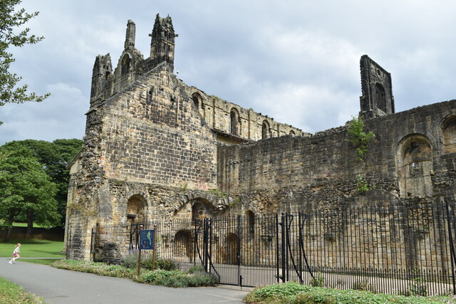
Hawksworth Wood holds historical significance, with remnants of an ancient medieval deer park still visible. The area was once a hunting ground for the local nobility, and the presence of earthworks and a fish pond are evidence of its past.
In recent years, the wood has undergone conservation efforts to protect and enhance its natural habitat. The local community has been actively involved in these initiatives, organizing clean-up events and planting new trees to ensure the preservation of this precious natural resource.
Overall, Hawksworth Wood is a valuable natural gem within the urban landscape of Leeds, offering a tranquil escape and an opportunity to connect with nature.
If you have any feedback on the listing, please let us know in the comments section below.
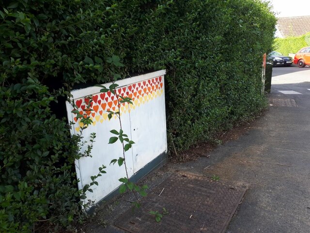
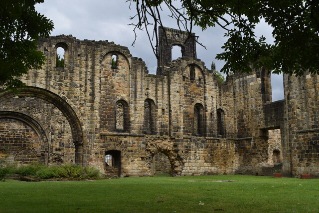
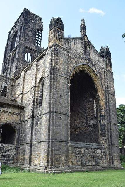
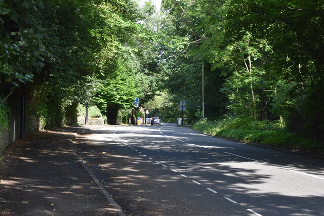
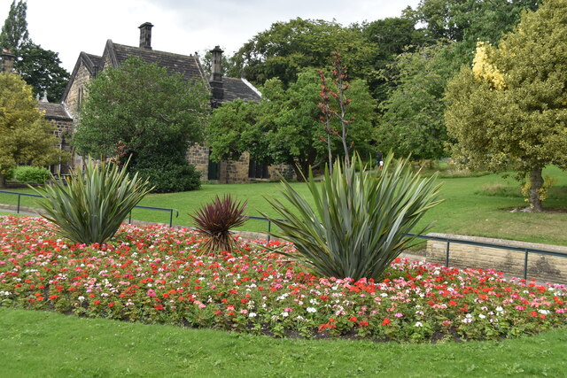
Hawksworth Wood Images
Images are sourced within 2km of 53.830047/-1.622863 or Grid Reference SE2437. Thanks to Geograph Open Source API. All images are credited.


Hawksworth Wood is located at Grid Ref: SE2437 (Lat: 53.830047, Lng: -1.622863)
Division: West Riding
Unitary Authority: Leeds
Police Authority: West Yorkshire
What 3 Words
///charmingly.voter.dishes. Near Horsforth, West Yorkshire
Nearby Locations
Related Wikis
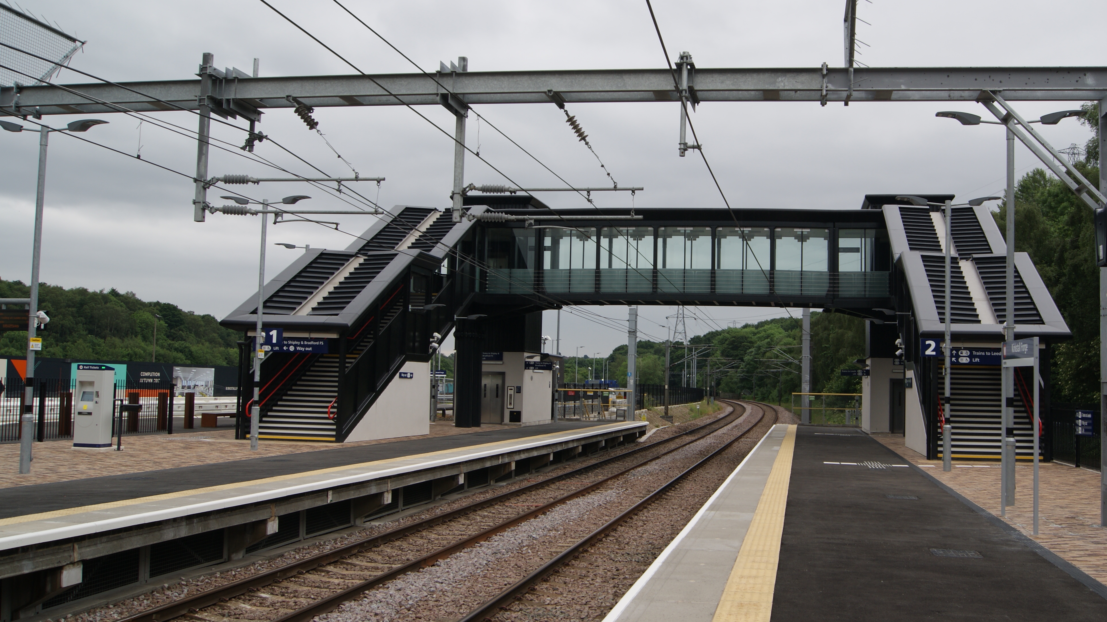
Kirkstall Forge railway station
Kirkstall Forge railway station is a station serving the Kirkstall area of Leeds, West Yorkshire, England. It is on the Leeds to Bradford Line between...

Hawksworth, Leeds
Hawksworth is a small, early twentieth-century council estate in the Kirkstall ward in Leeds, West Yorkshire, England. It is situated on a hill between...
Bramley Fall stone
Bramley Fall Stone stone belongs to the Millstone Grit series, of the Namurian stage of the Carboniferous Period. It is one of the cheapest and best-adapted...

Newlay
Newlay is a suburb of Horsforth, in West Yorkshire, England. Originally a hamlet, it is now part of Horsforth parish in the City of Leeds District, and...

Newlay and Horsforth railway station
Newlay and Horsforth railway station, until 1889 and from 1961 called Newlay station, was a station on the route of the former Leeds and Bradford Railway...
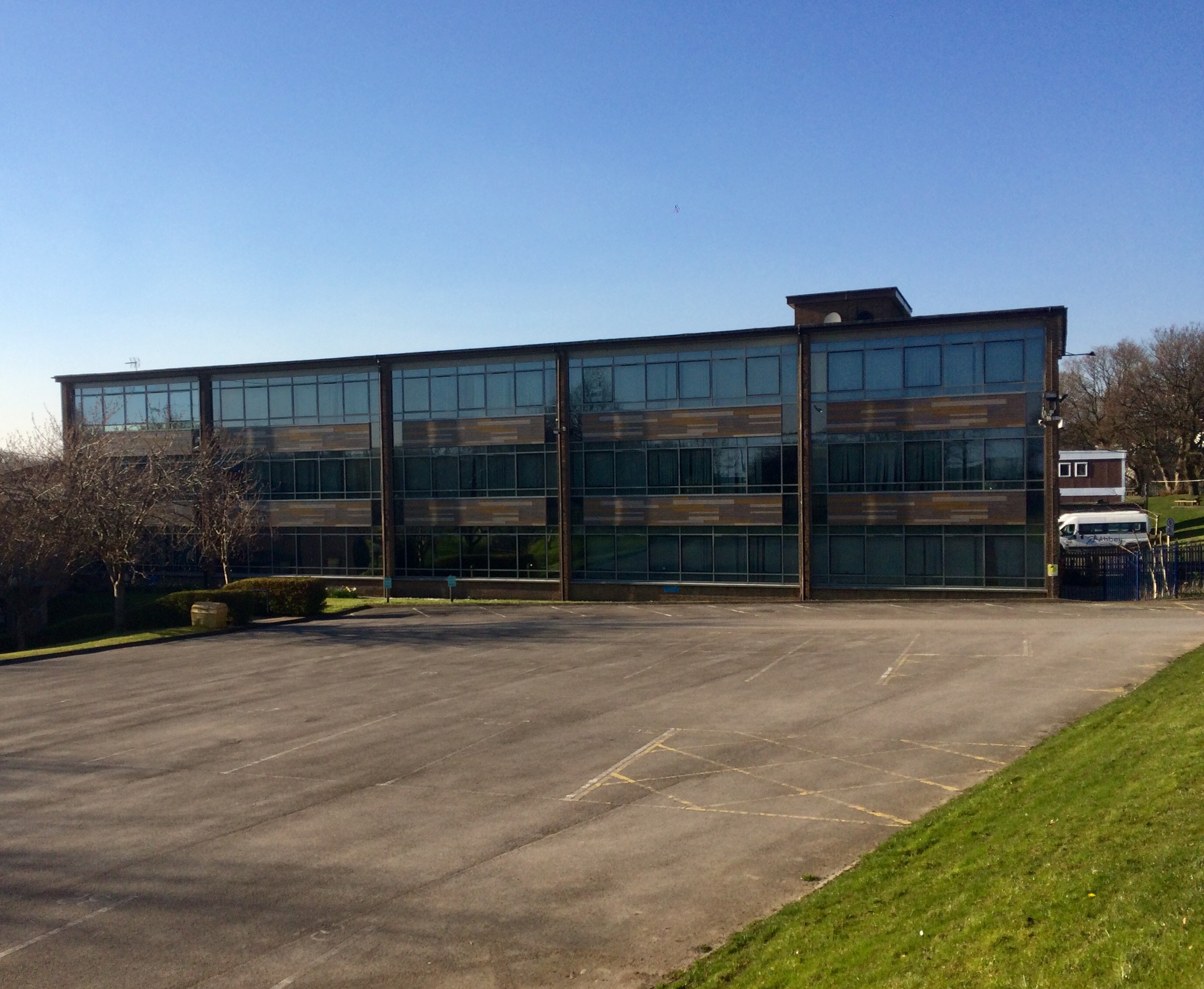
Abbey Grange Church of England Academy
Abbey Grange Church of England Academy is a coeducational secondary school and sixth form with academy status, located in West Park, Leeds, West Yorkshire...

Horsforth Woodside railway station
Horsforth Woodside was a proposed railway station that was to be built on the site of Woodside Quarry near Horsforth in West Yorkshire, England. It would...

Moor Grange
Moor Grange Estate is a housing estate in the West Park area of Leeds, West Yorkshire, England, which was built in the 1950s on reclaimed farmland. Work...
Nearby Amenities
Located within 500m of 53.830047,-1.622863Have you been to Hawksworth Wood?
Leave your review of Hawksworth Wood below (or comments, questions and feedback).