Cragg Wood
Wood, Forest in Yorkshire
England
Cragg Wood
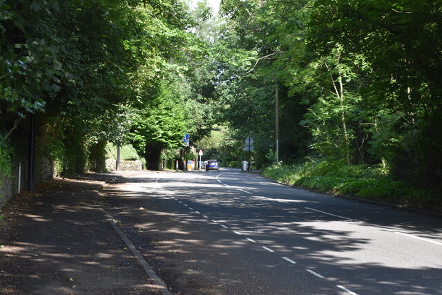
Cragg Wood is a picturesque woodland located in the county of Yorkshire, England. Covering an area of approximately 165 acres, it is nestled within the beautiful Yorkshire Dales National Park. The woodland is situated near the village of Ilkley and is easily accessible for visitors.
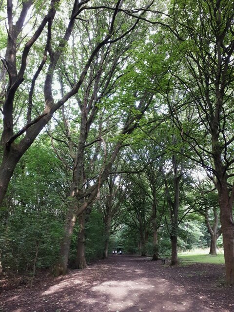
Cragg Wood is renowned for its diverse range of tree species, including oak, beech, birch, and rowan. The dense canopy of these majestic trees creates a tranquil and shaded environment, making it an ideal spot for nature lovers and hikers. The woodland floor is carpeted with a rich variety of wildflowers, adding bursts of color to the landscape.
One of the major attractions of Cragg Wood is the presence of a small river, known as the River Wharfe. Its crystal-clear waters meander through the woodland, providing a serene and calming atmosphere. This also makes it a popular spot for wildlife, with sightings of otters, kingfishers, and various species of fish being common.
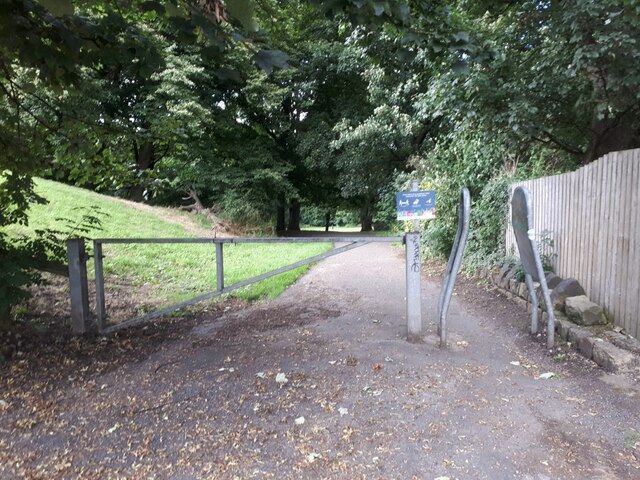
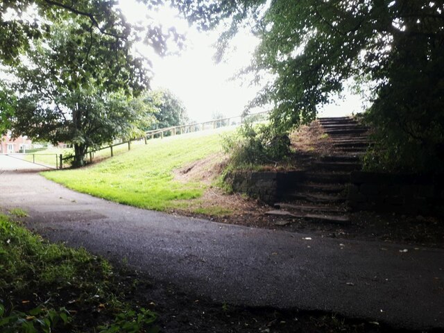
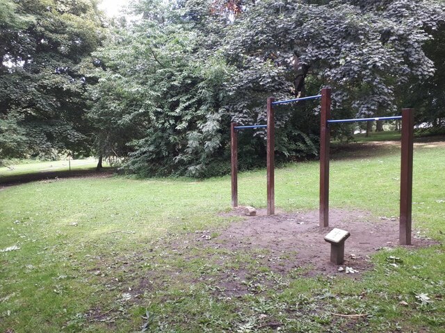
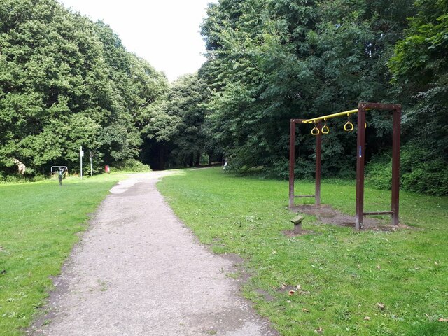
The wood is crisscrossed with well-maintained footpaths, allowing visitors to explore and absorb the beauty of the surroundings. There are also designated picnic areas, providing an opportunity to relax and enjoy a meal amidst nature.
Cragg Wood has a rich history, with evidence of human habitation dating back thousands of years. The area has been a source of inspiration for artists and writers, with its enchanting scenery often depicted in their works.
Overall, Cragg Wood offers a peaceful and idyllic setting, where visitors can escape the hustle and bustle of everyday life and immerse themselves in the beauty of nature.
If you have any feedback on the listing, please let us know in the comments section below.
Cragg Wood Images
Images are sourced within 2km of 53.833655/-1.6297899 or Grid Reference SE2437. Thanks to Geograph Open Source API. All images are credited.


Cragg Wood is located at Grid Ref: SE2437 (Lat: 53.833655, Lng: -1.6297899)
Division: West Riding
Unitary Authority: Leeds
Police Authority: West Yorkshire
What 3 Words
///jumpy.scam.saves. Near Horsforth, West Yorkshire
Nearby Locations
Related Wikis

Newlay
Newlay is a suburb of Horsforth, in West Yorkshire, England. Originally a hamlet, it is now part of Horsforth parish in the City of Leeds District, and...

Grove Methodist Church
The Grove Methodist Church is a Grade II listed Methodist church in the village of Horsforth, Leeds, England, part of the Leeds South and West Methodist...

Newlay and Horsforth railway station
Newlay and Horsforth railway station, until 1889 and from 1961 called Newlay station, was a station on the route of the former Leeds and Bradford Railway...
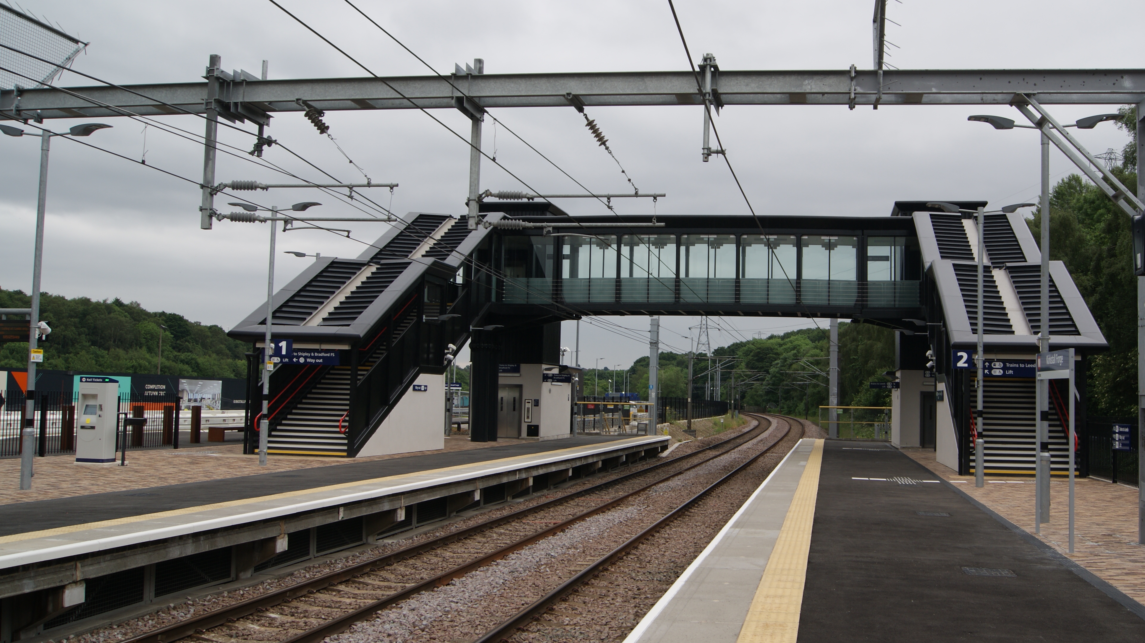
Kirkstall Forge railway station
Kirkstall Forge railway station is a station serving the Kirkstall area of Leeds, West Yorkshire, England. It is on the Leeds to Bradford Line between...

Horsforth
Horsforth is a town and civil parish in the City of Leeds, West Yorkshire, England, five miles north-west of Leeds city centre. Historically a village...

Horsforth Woodside railway station
Horsforth Woodside was a proposed railway station that was to be built on the site of Woodside Quarry near Horsforth in West Yorkshire, England. It would...

Hall Park Ground
Hall Park Ground in Horsforth, near Leeds, Yorkshire, England is a cricket ground. The ground was the location of a first-class cricket match in August...

Hawksworth, Leeds
Hawksworth is a small, early twentieth-century council estate in the Kirkstall ward in Leeds, West Yorkshire, England. It is situated on a hill between...
Nearby Amenities
Located within 500m of 53.833655,-1.6297899Have you been to Cragg Wood?
Leave your review of Cragg Wood below (or comments, questions and feedback).