The Outwood
Wood, Forest in Yorkshire
England
The Outwood

The Outwood, Yorkshire, also known as Outwood Common, is a small village located in the county of West Yorkshire, England. Situated approximately 5 miles to the north of Wakefield, this rural settlement is surrounded by picturesque woodlands and rolling countryside. The name "Outwood" derives from the Old English words "ut" and "wudu," meaning "outer wood" or "forest," which accurately describes the area's abundant natural beauty.
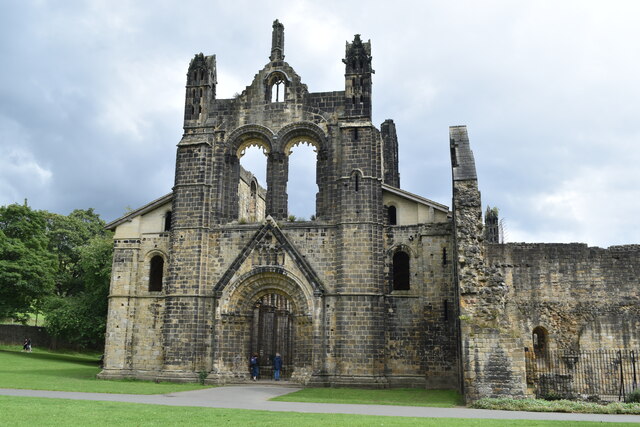
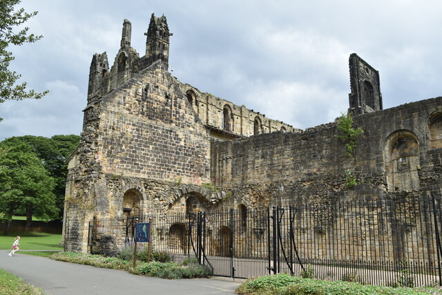
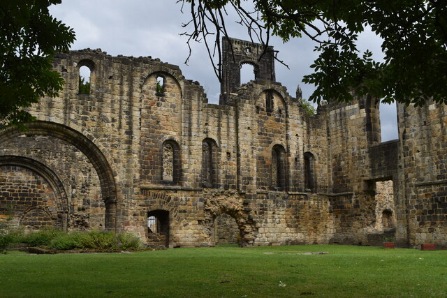
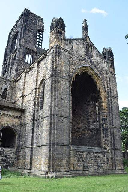
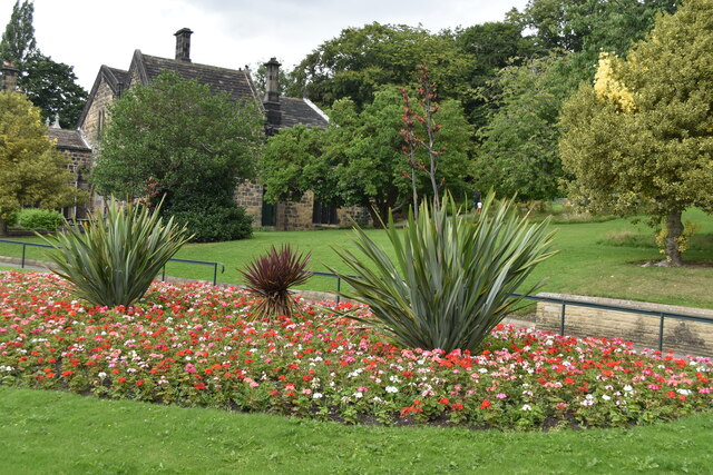
The village of Outwood is known for its historical significance, with records of settlements dating back to the 12th century. It is home to several well-preserved timber-framed buildings, including St. Mary's Church, a Grade I listed structure that dates back to the 14th century. The village also boasts a number of charming stone cottages and traditional English gardens, adding to its quaint and idyllic atmosphere.
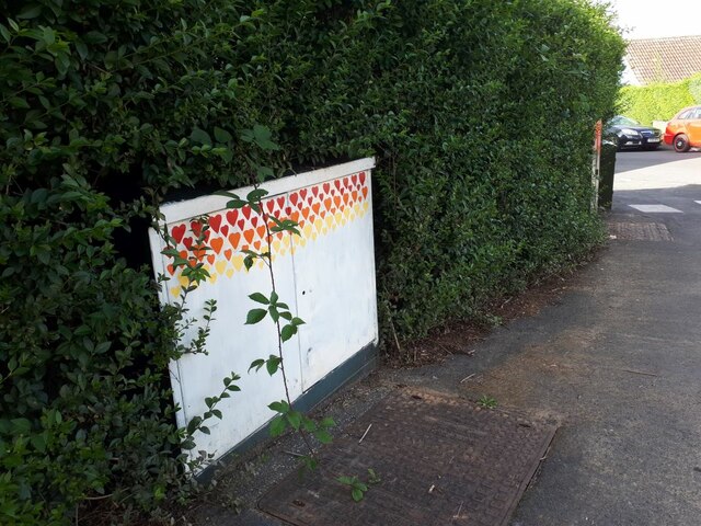
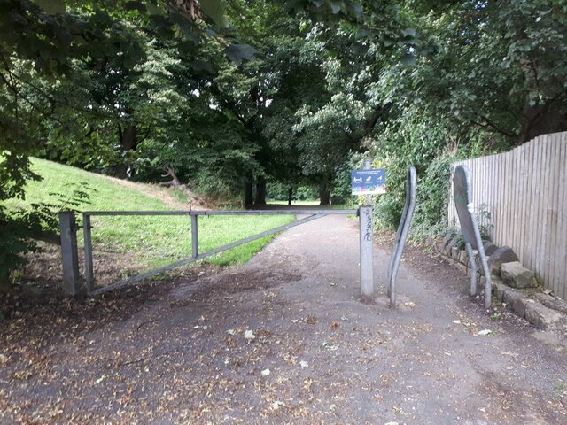
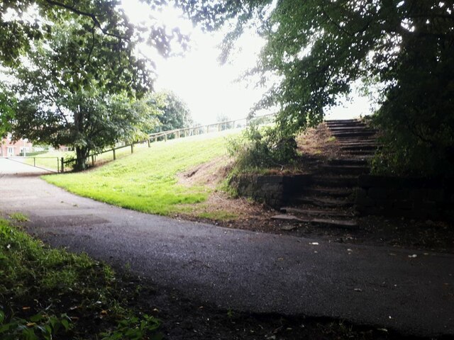
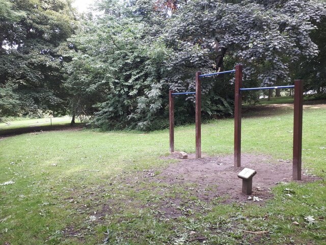
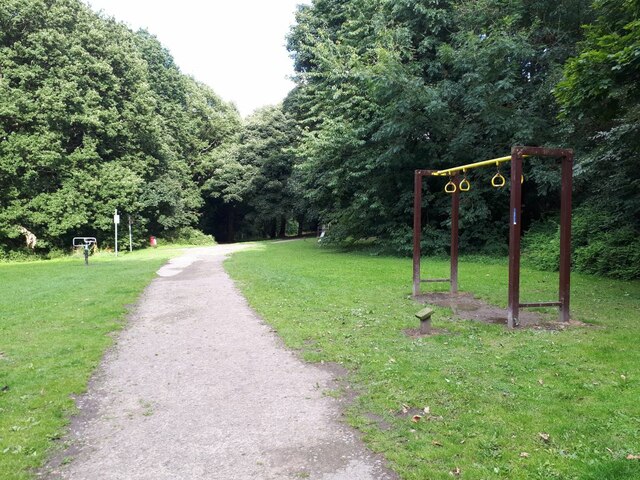
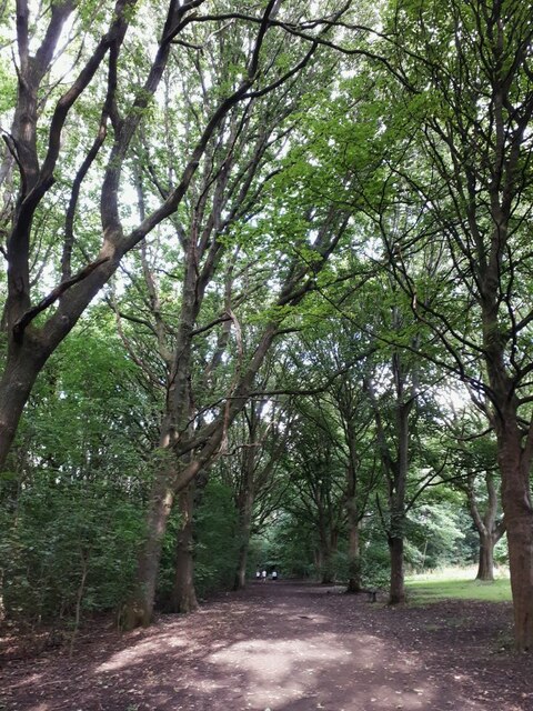
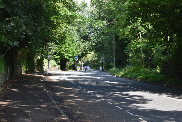
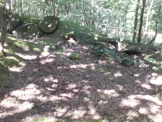
The Outwood area is renowned for its expansive woodlands, which provide a haven for wildlife and offer numerous walking trails and nature reserves for visitors to explore. One of the most notable features is Outwood Common, a large area of ancient woodland that is protected as a Site of Special Scientific Interest. Here, visitors can discover a diverse range of flora and fauna, including native oak, birch, and beech trees, as well as various species of birds and small mammals.
In addition to its natural beauty, Outwood offers a range of amenities for residents and visitors alike. The village is home to a primary school, a village hall, and a selection of local shops and pubs. It also benefits from its proximity to larger towns and cities, with easy access to major transport links such as the M1 motorway and nearby train stations.
Overall, The Outwood, Yorkshire, is a charming and picturesque village that offers a peaceful retreat in the heart of the English countryside. Its rich history, stunning woodlands, and quaint village atmosphere make it an appealing destination for nature lovers and those seeking a slower pace of
If you have any feedback on the listing, please let us know in the comments section below.
The Outwood Images
Images are sourced within 2km of 53.829211/-1.631637 or Grid Reference SE2437. Thanks to Geograph Open Source API. All images are credited.

The Outwood is located at Grid Ref: SE2437 (Lat: 53.829211, Lng: -1.631637)
Division: West Riding
Unitary Authority: Leeds
Police Authority: West Yorkshire
What 3 Words
///perky.dirt.successes. Near Horsforth, West Yorkshire
Nearby Locations
Related Wikis

Newlay
Newlay is a suburb of Horsforth, in West Yorkshire, England. Originally a hamlet, it is now part of Horsforth parish in the City of Leeds District, and...

Newlay and Horsforth railway station
Newlay and Horsforth railway station, until 1889 and from 1961 called Newlay station, was a station on the route of the former Leeds and Bradford Railway...
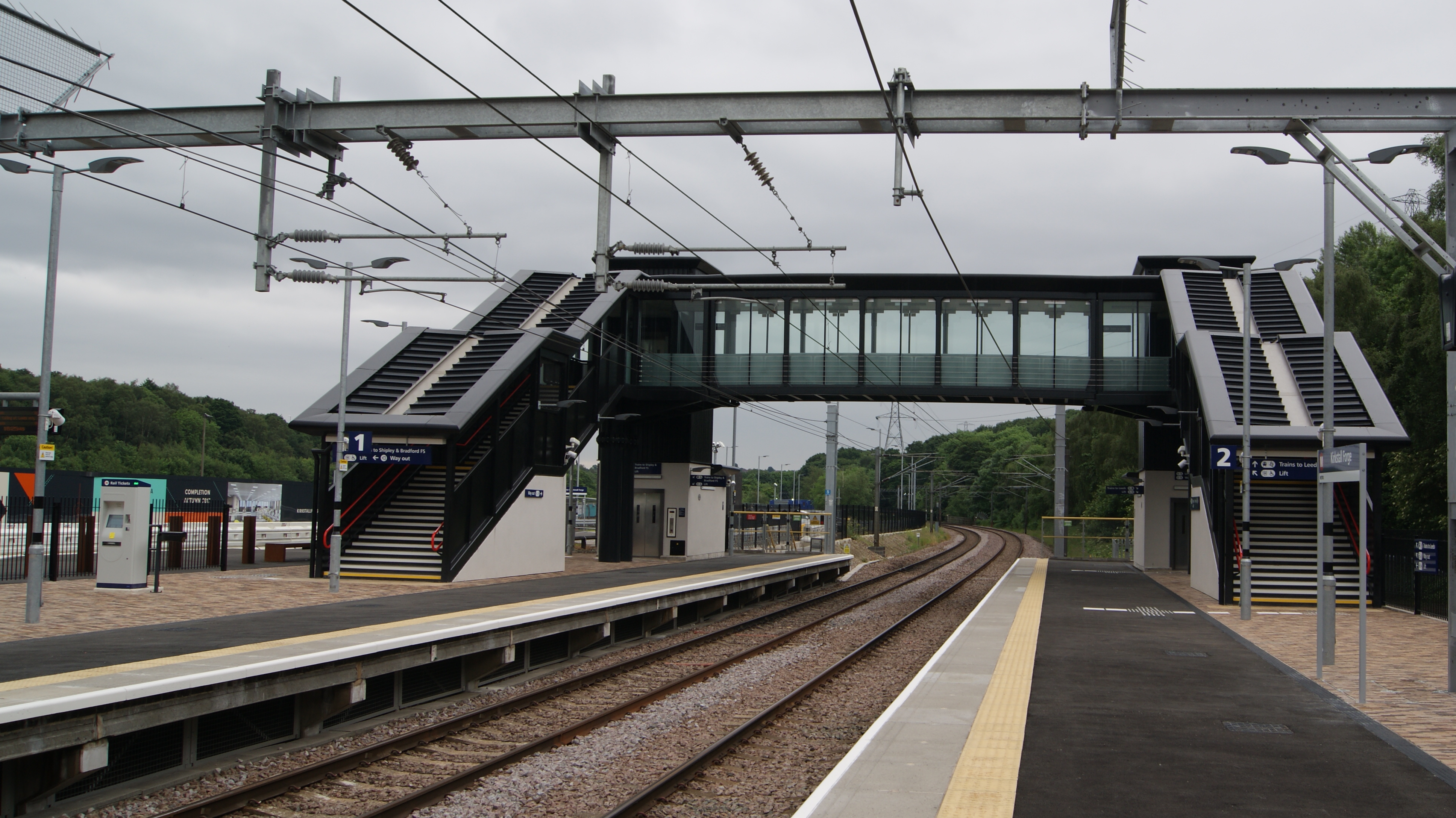
Kirkstall Forge railway station
Kirkstall Forge railway station is a station serving the Kirkstall area of Leeds, West Yorkshire, England. It is on the Leeds to Bradford Line between...
Bramley Fall stone
Bramley Fall Stone stone belongs to the Millstone Grit series, of the Namurian stage of the Carboniferous Period. It is one of the cheapest and best-adapted...

Grove Methodist Church
The Grove Methodist Church is a Grade II listed Methodist church in the village of Horsforth, Leeds, England, part of the Leeds South and West Methodist...

Horsforth
Horsforth is a town and civil parish in the City of Leeds, West Yorkshire, England, five miles north-west of Leeds city centre. Historically a village...

Hawksworth, Leeds
Hawksworth is a small, early twentieth-century council estate in the Kirkstall ward in Leeds, West Yorkshire, England. It is situated on a hill between...

Rodley Nature Reserve
The Rodley Nature Reserve is a wetland reserve created in 1999 on the site of a former sewage works on the outskirts of Rodley, West Yorkshire, United...
Nearby Amenities
Located within 500m of 53.829211,-1.631637Have you been to The Outwood?
Leave your review of The Outwood below (or comments, questions and feedback).