Aylburton Common
Settlement in Gloucestershire Forest of Dean
England
Aylburton Common
Aylburton Common is a picturesque rural area located in Gloucestershire, England. Situated just east of the River Severn, it is part of the Forest of Dean district. The village of Aylburton lies adjacent to the common, creating a close-knit community that enjoys the natural beauty and tranquility of the area.
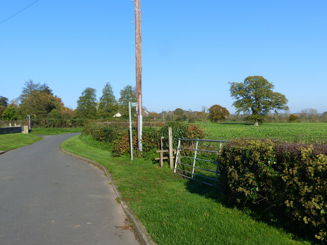
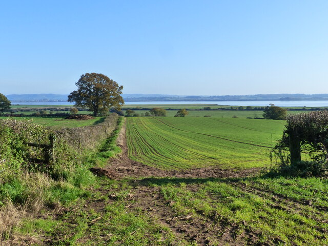
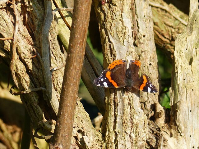
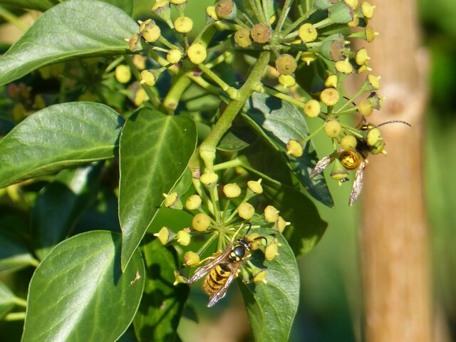
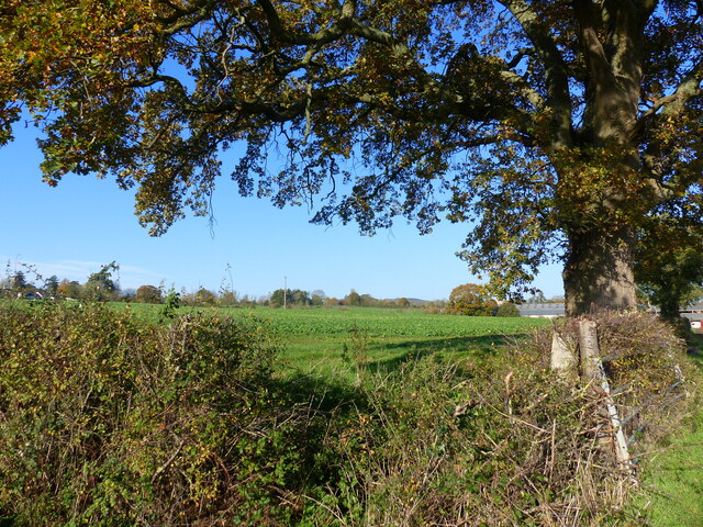
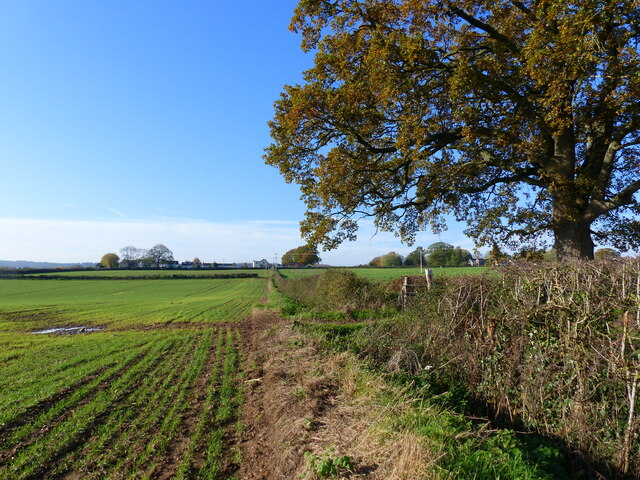
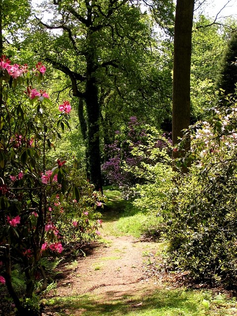
Covering an area of approximately 200 acres, Aylburton Common is predominantly comprised of open grassland, interspersed with patches of woodland. The common is a designated Site of Special Scientific Interest (SSSI) due to its rich biodiversity and unique habitats. It supports a diverse range of flora and fauna, including rare species of orchids, butterflies, and birds.
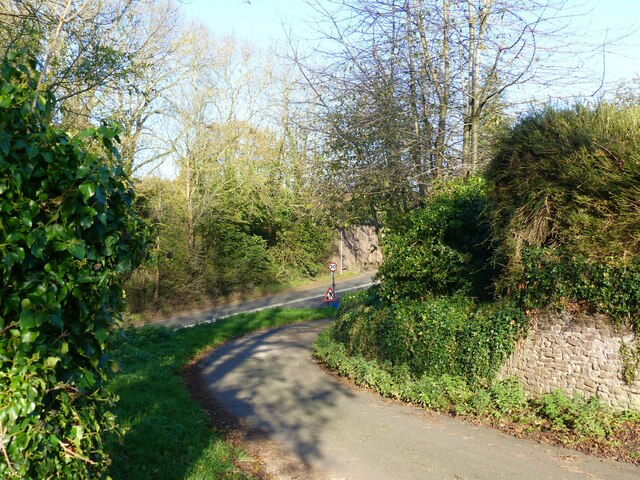
The common is accessible via a network of footpaths and bridleways, providing opportunities for leisurely walks, horse riding, and cycling. Visitors can immerse themselves in the stunning countryside, with breathtaking views of the surrounding hills and valleys.
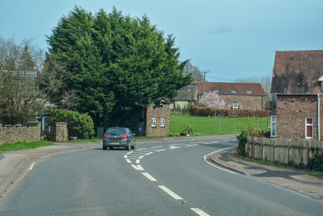
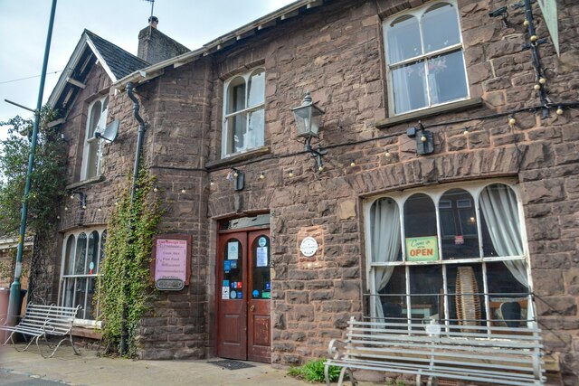
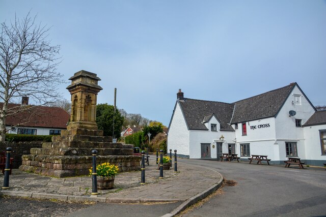
The nearby village of Aylburton offers essential amenities, including a primary school, community center, and a pub. There are also several historic landmarks in the area, such as the 12th-century St. Mary's Church and the remains of Lydney Castle, which provide glimpses into the area's rich heritage.
Aylburton Common is a cherished natural haven for both residents and visitors alike, offering a peaceful retreat from the busy modern world. Its idyllic landscapes and abundant wildlife make it a popular destination for nature enthusiasts and those seeking a quiet escape in the heart of Gloucestershire.
If you have any feedback on the listing, please let us know in the comments section below.
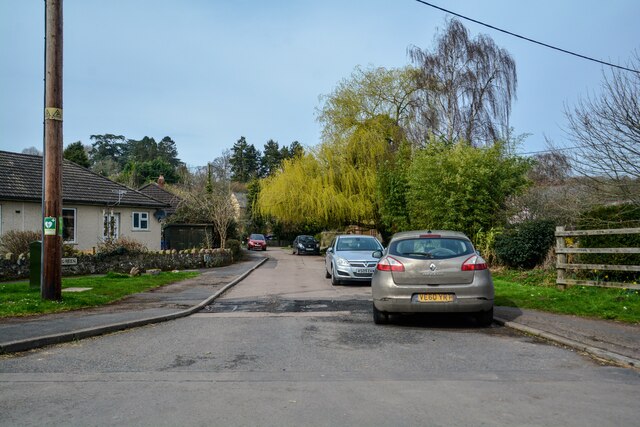
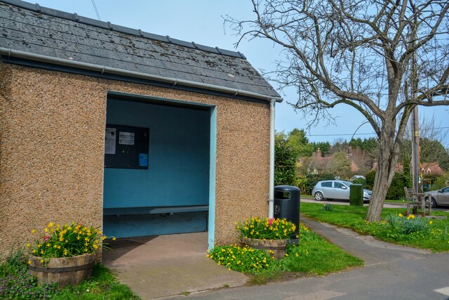
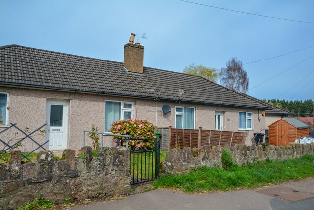
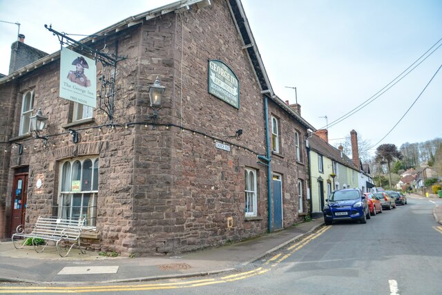
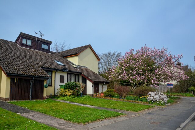
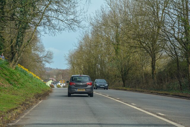
Aylburton Common Images
Images are sourced within 2km of 51.715294/-2.5803804 or Grid Reference SO6002. Thanks to Geograph Open Source API. All images are credited.
Aylburton Common is located at Grid Ref: SO6002 (Lat: 51.715294, Lng: -2.5803804)
Administrative County: Gloucestershire
District: Forest of Dean
Police Authority: Gloucestershire
What 3 Words
///stilted.roses.back. Near Bream, Gloucestershire
Nearby Locations
Related Wikis

Alvington, Gloucestershire
Alvington is a village and civil parish in the Forest of Dean in Gloucestershire, England, situated on the A48 road, six miles north-east of Chepstow in...

Aylburton
Aylburton is a village and civil parish in the Forest of Dean district of Gloucestershire, England, on the A48 road about two miles south-west of Lydney...
Lydney Park
Lydney Park is a 17th-century country estate surrounding Lydney House, located at Lydney in the Forest of Dean district in Gloucestershire, England. It...

Woolaston
Woolaston is a village and civil parish in the Forest of Dean district of Gloucestershire in South West England. It lies on the north side of the Severn...

Devil's Chapel Scowles
Devil's Chapel Scowles (grid reference SO606045) is a 44.79-hectare (110.7-acre) biological Site of Special Scientific Interest in Gloucestershire, notified...
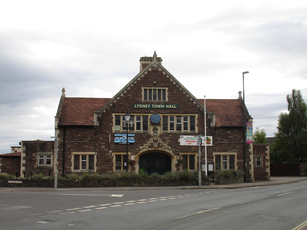
Lydney Town Hall
Lydney Town Hall is a municipal structure in the High Street, Lydney, Gloucestershire, England. The structure, which is used as an events venue, is listed...

The Dean Academy
The Dean Academy (formerly Whitecross School) is a mixed secondary school located in Lydney in the English county of Gloucestershire. == Location == The...

Hewelsfield
Hewelsfield is a village in Hewelsfield and Brockweir civil parish, in the Forest of Dean district of Gloucestershire, England. The village is located...
Nearby Amenities
Located within 500m of 51.715294,-2.5803804Have you been to Aylburton Common?
Leave your review of Aylburton Common below (or comments, questions and feedback).