Hollywell Wood

Wood, Forest in Gloucestershire Forest of Dean

England

Hollywell Wood

Aylburton : Market Cross Market Cross with the Cross Inn in view.
Aylburton : Market Cross Credit: Lewis Clarke

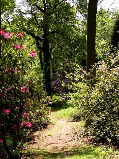
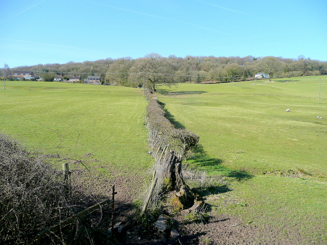
Hollywell Wood is a picturesque woodland located in the county of Gloucestershire, England. It is nestled in the heart of the Forest of Dean, a renowned area of natural beauty. The wood covers an area of approximately 100 acres and is predominantly made up of ancient oak trees, interspersed with beech, ash, and birch trees.

One of the standout features of Hollywell Wood is its impressive biodiversity. It is home to a diverse range of flora and fauna, including rare and protected species. Visitors can expect to see an array of wildflowers, such as bluebells and primroses, carpeting the forest floor during the spring months. The wood is also a haven for birdwatchers, with species such as woodpeckers, nightingales, and tawny owls frequently spotted.

The woodland offers a variety of walking trails, allowing visitors to explore its beauty at their own pace. These trails meander through the ancient trees, offering glimpses of the surrounding countryside and the chance to spot wildlife along the way. Hollywell Wood is also known for its quiet and peaceful atmosphere, providing a tranquil escape from the hustle and bustle of everyday life.

As part of the Forest of Dean, Hollywell Wood is managed by the Forestry Commission, who ensure the preservation of its natural habitats and the sustainability of its resources. The wood is open to the public year-round and is a popular destination for nature lovers, hikers, and families looking to immerse themselves in the beauty of Gloucestershire's countryside.

If you have any feedback on the listing, please let us know in the comments section below.

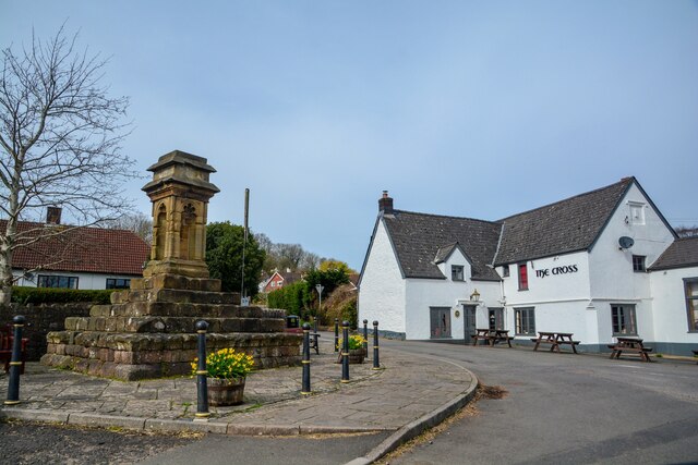
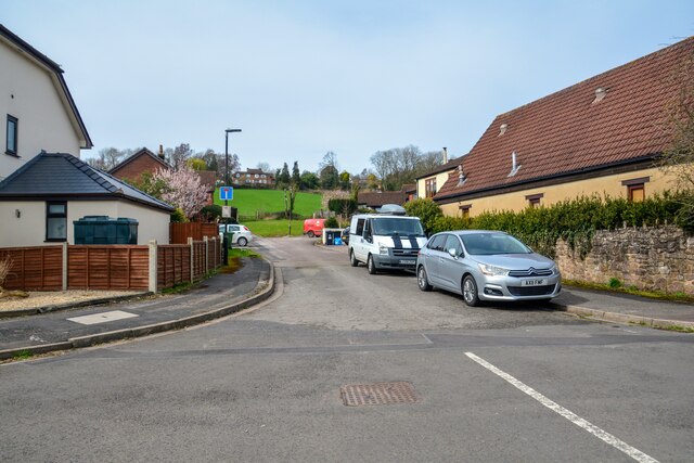
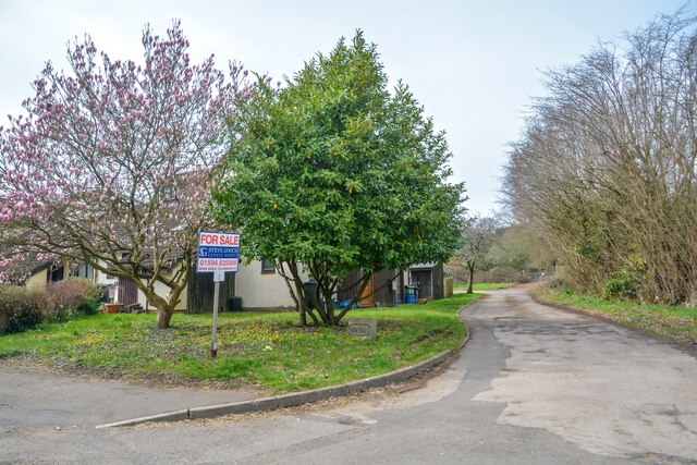
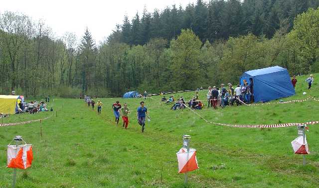
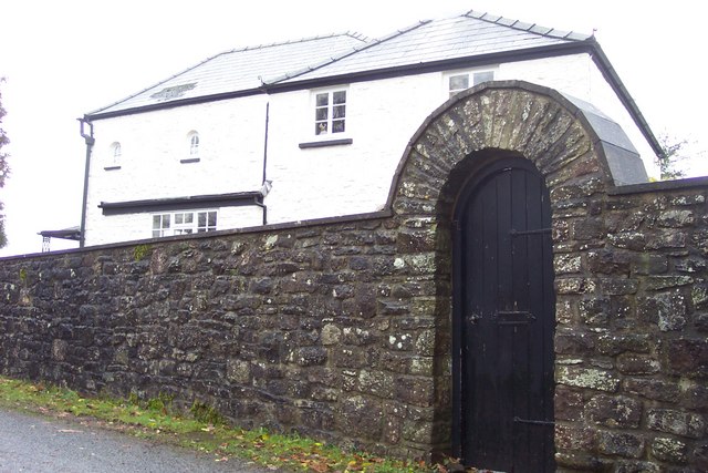
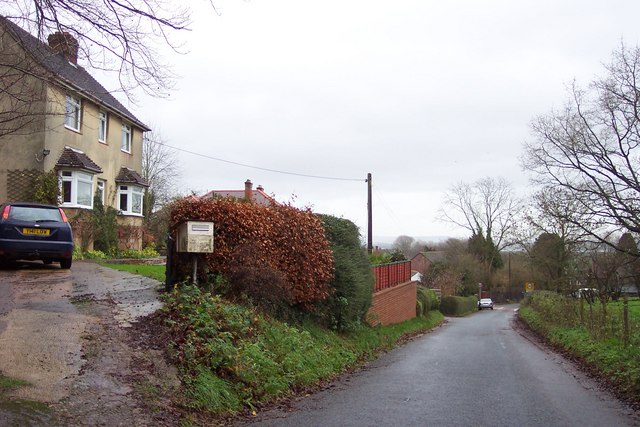
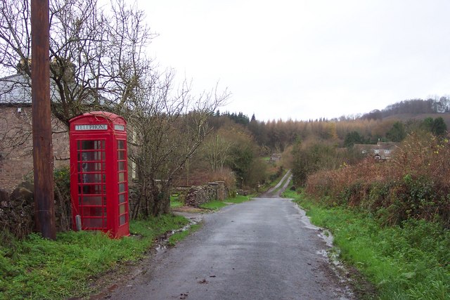
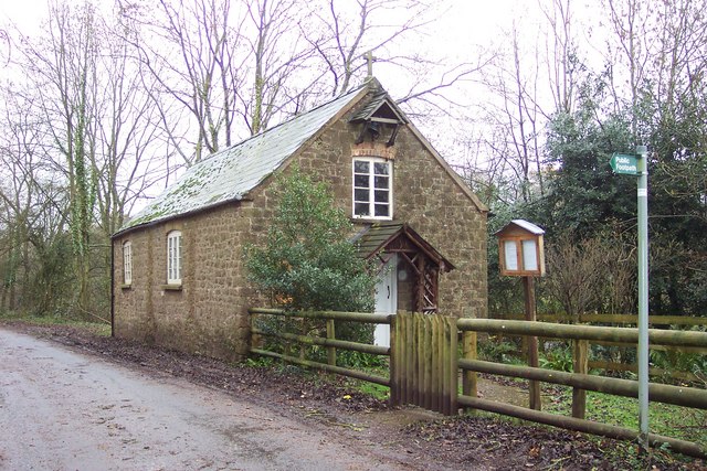
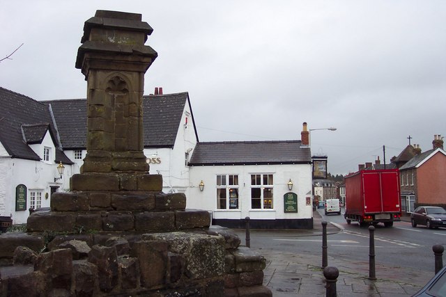
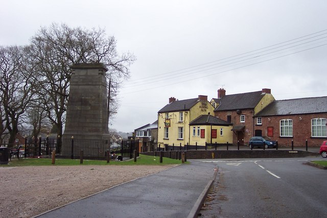
Hollywell Wood Images

Images are sourced within 2km of 51.723796/-2.5792443 or Grid Reference SO6002. Thanks to Geograph Open Source API. All images are credited.

Aylburton : Market Cross Market Cross with the Cross Inn in view.
Aylburton : Market Cross
Market Cross with the Cross Inn in view.
Aylburton : Cross Farm Close A road off the A48.
Aylburton : Cross Farm Close
A road off the A48.
Aylburton : Road A small road alongside the house.
Aylburton : Road
A small road alongside the house.
Aylburton : Road A road off the A48.
Aylburton : Road
A road off the A48.
Alvington : Track A track heading Sandford Pool Trout Fishery.
Alvington : Track
A track heading Sandford Pool Trout Fishery.
Alvington : A48 Looking along the A48.
Alvington : A48
Looking along the A48.
Alvington : BP Petrol Station A BP petrol station off the A48.
Alvington : BP Petrol Station
A BP petrol station off the A48.
Sandford Pool Trout Fishery direction sign, Gloucestershire The sign is alongside the A48. Next left (Sandford Road) for Sandford Pool Trout Fishery.
Sandford Pool Trout Fishery direction sign, Gloucestershire
The sign is alongside the A48. Next left (Sandford Road) for Sandford Pool Trout Fishery.
Unsuitable for HGVs, Sandford Road near Aylburton, Gloucestershire The sign faces the A48. Two triangular warning signs are in the background.
Unsuitable for HGVs, Sandford Road near Aylburton, Gloucestershire
The sign faces the A48. Two triangular warning signs are in the background.
SW side of The Cross, Aylburton, Gloucestershire  Pub on the corner of High Street and Chapel Hill opposite a 14th century market cross. <a title="https://www.geograph.org.uk/photo/3232009" href="https://www.geograph.org.uk/photo/3232009">Link</a>
The building dates from the 17th century. The Cross pub has occupied 
this building since at least 1870. Grade II listed in 1988.
SW side of The Cross, Aylburton, Gloucestershire
Pub on the corner of High Street and Chapel Hill opposite a 14th century market cross. Link The building dates from the 17th century. The Cross pub has occupied this building since at least 1870. Grade II listed in 1988.
NW along Chapel Hill, Aylburton, Gloucestershire Looking to the NW along Chapel Hill from the corner of the A48 High Street.
Pointing this way, a nearby sign shows Upper Common 1 (mile)
NW along Chapel Hill, Aylburton, Gloucestershire
Looking to the NW along Chapel Hill from the corner of the A48 High Street. Pointing this way, a nearby sign shows Upper Common 1 (mile)
Finish at British Orienteering Championships race, Lydney Park, Lydney, Glos. The British Orienteering Championships took place at Lydney Park in the Forest of Dean in 2004. The finish for the individual day race was in this field, which runs along a valley bottom. The orienteering took place in the mixed woodland surrounding the valley.
Finish at British Orienteering Championships race, Lydney Park, Lydney, Glos.
The British Orienteering Championships took place at Lydney Park in the Forest of Dean in 2004. The finish for the individual day race was in this field, which runs along a valley bottom. The orienteering took place in the mixed woodland surrounding the valley.
Lydney Park Gardens Lydney Park Gardens is open in spring and has many rhododendrons, azaleas and magnolias.
Lydney Park Gardens
Lydney Park Gardens is open in spring and has many rhododendrons, azaleas and magnolias.
Heaven's Gate. Actually the name of the house.
Heaven's Gate.
Actually the name of the house.
Approaching Aylburton village from the north.
Telephone box and lane near Aylburton Common. The track ahead leads to Pool Farm.
Telephone box and lane near Aylburton Common.
The track ahead leads to Pool Farm.
Aylburton Common Mission Church Built in 1867 this small building is still functioning as a place of worship.
Aylburton Common Mission Church
Built in 1867 this small building is still functioning as a place of worship.
The Cross and Cross public house. Beside the busy A 48 at Aylburton.
The Cross and Cross public house.
Beside the busy A 48 at Aylburton.
Show me another place!

Hollywell Wood is located at Grid Ref: SO6002 (Lat: 51.723796, Lng: -2.5792443)

Administrative County: Gloucestershire

District: Forest of Dean

Police Authority: Gloucestershire

What 3 Words

///ecologist.scream.jousting. Near Bream, Gloucestershire

Related Wikis

Devil's Chapel Scowles

Devil's Chapel Scowles (grid reference SO606045) is a 44.79-hectare (110.7-acre) biological Site of Special Scientific Interest in Gloucestershire, notified...

Lydney Park

Lydney Park is a 17th-century country estate surrounding Lydney House, located at Lydney in the Forest of Dean district in Gloucestershire, England. It...

Aylburton

Aylburton is a village and civil parish in the Forest of Dean district of Gloucestershire, England, on the A48 road about two miles south-west of Lydney...

Alvington, Gloucestershire

Alvington is a village and civil parish in the Forest of Dean in Gloucestershire, England, situated on the A48 road, six miles north-east of Chepstow in...

West Dean, Gloucestershire

West Dean is a civil parish, situated in the Forest of Dean district of Gloucestershire, England. == History == The Forest of Dean was an extra-parochial...
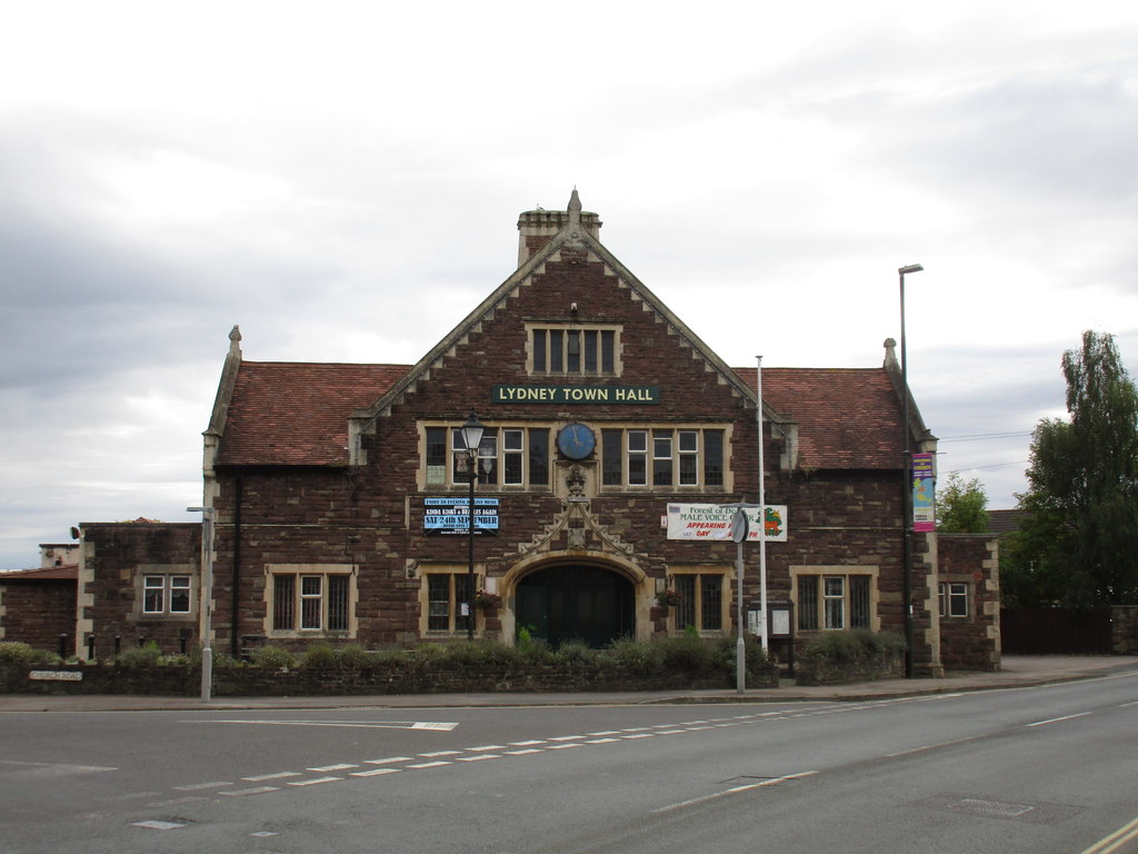
Lydney Town Hall

Lydney Town Hall is a municipal structure in the High Street, Lydney, Gloucestershire, England. The structure, which is used as an events venue, is listed...

Bream, Gloucestershire

Bream (historically known as Breem) is a village in the Forest of Dean, west Gloucestershire, England. The population was around 3,170 in the 2011 census...

Brockhollands

Brockhollands is a hamlet located in the Forest of Dean. It lies between the village of Bream and the town of Lydney in Gloucestershire. It is an obscure...

Nearby Amenities

Located within 500m of 51.723796,-2.5792443
The data included in this document is from www.openstreetmap.org. The data is made available under ODbL.

Have you been to Hollywell Wood?

Leave your review of Hollywell Wood below (or comments, questions and feedback).