Hunger Hill
Hill, Mountain in Gloucestershire Forest of Dean
England
Hunger Hill

Hunger Hill is a prominent hill located in the county of Gloucestershire, England. Standing at an elevation of approximately 200 meters (656 feet), it is part of the picturesque Cotswold Hills, renowned for its outstanding natural beauty.
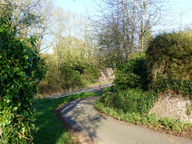
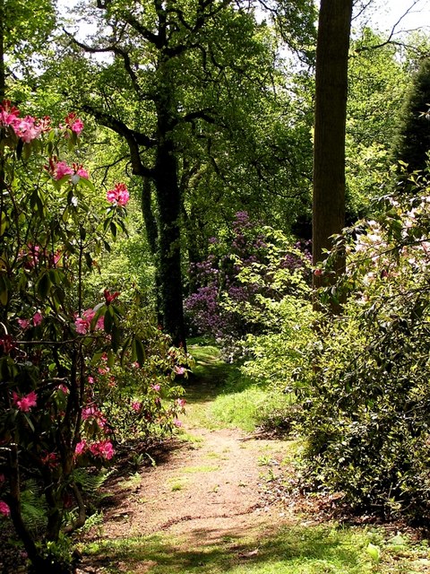
Situated near the village of Hawkesbury Upton, Hunger Hill offers breathtaking panoramic views of the surrounding countryside. The hill is characterized by its gently rolling slopes, covered with lush green grass and scattered with patches of wildflowers during the summer months.
Hunger Hill is a popular destination for outdoor enthusiasts and nature lovers. Its well-maintained trails make it an ideal location for hiking, walking, and cycling. Visitors can explore the hill's diverse flora and fauna, which includes a variety of bird species, small mammals, and wildflowers.
The hill also holds historical significance, with evidence of human activity dating back thousands of years. Archaeological finds indicate that the area was inhabited during the Iron Age and Roman times. Additionally, Hunger Hill is known for its association with local folklore and legends, adding an element of mystery and intrigue to its allure.
Due to its elevated position, Hunger Hill offers stunning panoramic views of the nearby countryside, including the Cotswold Area of Outstanding Natural Beauty. This makes it a popular spot for photographers, artists, and nature enthusiasts looking to capture the beauty of the region.
In summary, Hunger Hill in Gloucestershire is a picturesque and historically significant hill, offering stunning views and a wide range of outdoor activities for visitors to enjoy.
If you have any feedback on the listing, please let us know in the comments section below.
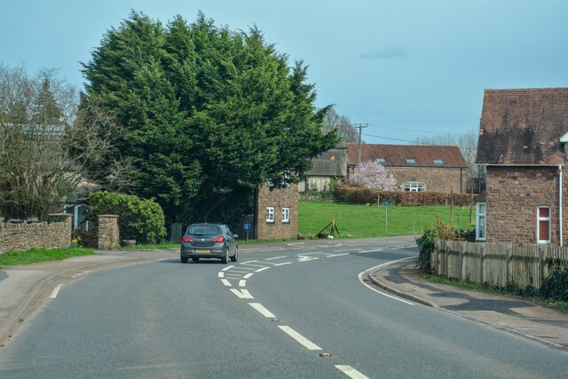
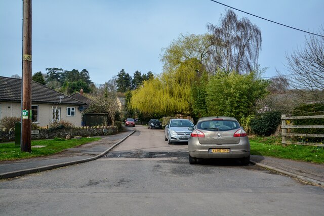
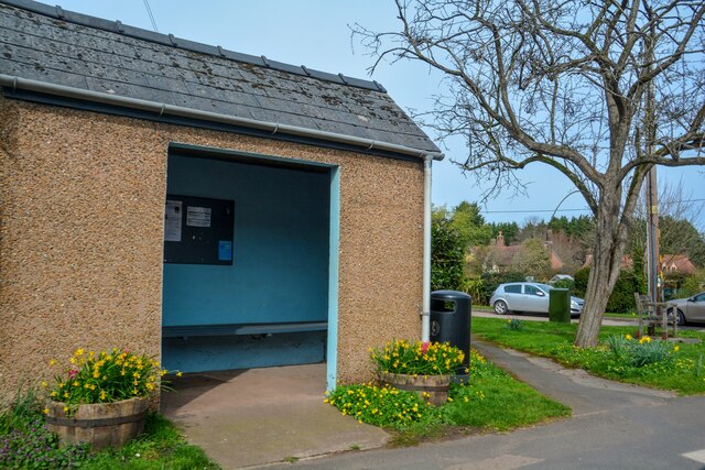
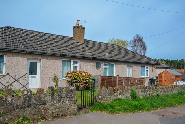
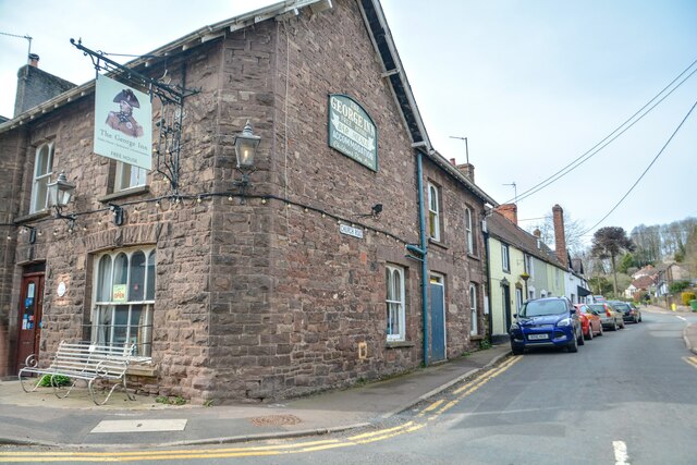
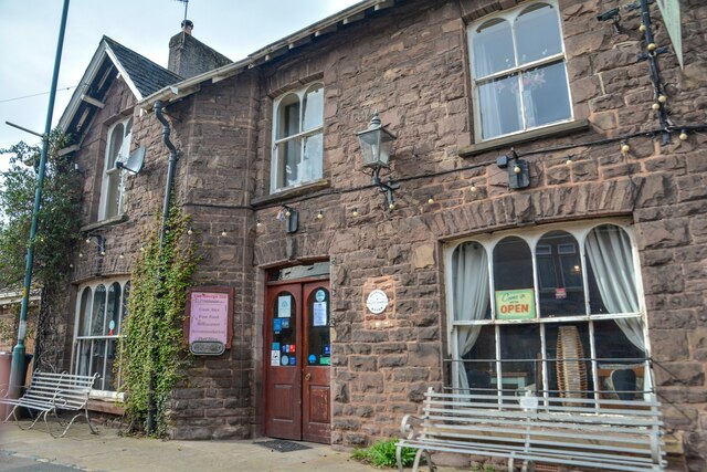
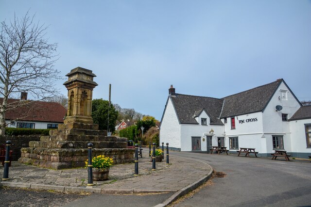
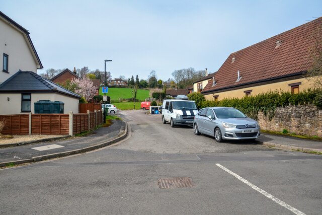
Hunger Hill Images
Images are sourced within 2km of 51.717878/-2.5667487 or Grid Reference SO6002. Thanks to Geograph Open Source API. All images are credited.


Hunger Hill is located at Grid Ref: SO6002 (Lat: 51.717878, Lng: -2.5667487)
Administrative County: Gloucestershire
District: Forest of Dean
Police Authority: Gloucestershire
What 3 Words
///hedgehog.spaces.bits. Near Lydney, Gloucestershire
Related Wikis

Aylburton
Aylburton is a village and civil parish in the Forest of Dean district of Gloucestershire, England, on the A48 road about two miles south-west of Lydney...
Lydney Park
Lydney Park is a 17th-century country estate surrounding Lydney House, located at Lydney in the Forest of Dean district in Gloucestershire, England. It...

Alvington, Gloucestershire
Alvington is a village and civil parish in the Forest of Dean in Gloucestershire, England, situated on the A48 road, six miles north-east of Chepstow in...
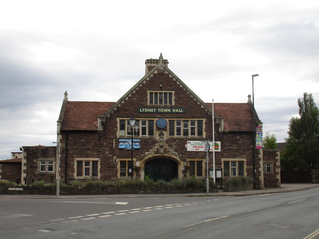
Lydney Town Hall
Lydney Town Hall is a municipal structure in the High Street, Lydney, Gloucestershire, England. The structure, which is used as an events venue, is listed...

The Dean Academy
The Dean Academy (formerly Whitecross School) is a mixed secondary school located in Lydney in the English county of Gloucestershire. == Location == The...
White Cross Manor
White Cross Manor was the manor house in Lydney, Gloucestershire, England, of the Wynter family. It was burnt to the ground in April 1645 on the orders...

Devil's Chapel Scowles
Devil's Chapel Scowles (grid reference SO606045) is a 44.79-hectare (110.7-acre) biological Site of Special Scientific Interest in Gloucestershire, notified...

Lydney railway station
Lydney railway station is a railway station serving the town of Lydney in Gloucestershire, England. It is located on the Gloucester-Newport line, 133 miles...
Nearby Amenities
Located within 500m of 51.717878,-2.5667487Have you been to Hunger Hill?
Leave your review of Hunger Hill below (or comments, questions and feedback).