West Hunger Hill
Hill, Mountain in Gloucestershire Forest of Dean
England
West Hunger Hill

West Hunger Hill is a prominent hill located in the county of Gloucestershire, England. Situated in the western part of the county, it forms part of the picturesque Cotswold Hills, which are renowned for their natural beauty and rolling landscapes. Rising to an elevation of approximately 174 meters (570 feet), West Hunger Hill offers stunning panoramic views of the surrounding countryside.
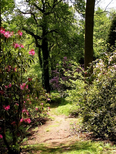
The hill is covered predominantly in grass and is interspersed with patches of woodland, adding to its scenic appeal. It is home to a variety of plant and animal species, including wildflowers, birds, and small mammals.
West Hunger Hill is a popular destination for outdoor enthusiasts and nature lovers. Numerous footpaths and trails crisscross the hill, providing opportunities for hiking, walking, and exploring the area. Visitors can also enjoy picnicking or simply taking in the peaceful atmosphere and breathtaking vistas.
The hill is located in close proximity to the charming village of Painswick, known for its beautiful architecture and historic landmarks. Painswick Beacon, another notable hill, is also nearby and can be seen from West Hunger Hill.
Overall, West Hunger Hill offers a wonderful opportunity to experience the natural beauty of the Cotswold Hills, providing a tranquil escape from the hustle and bustle of everyday life. Its stunning views and abundant wildlife make it a must-visit destination for anyone seeking to immerse themselves in the enchanting Gloucestershire countryside.
If you have any feedback on the listing, please let us know in the comments section below.
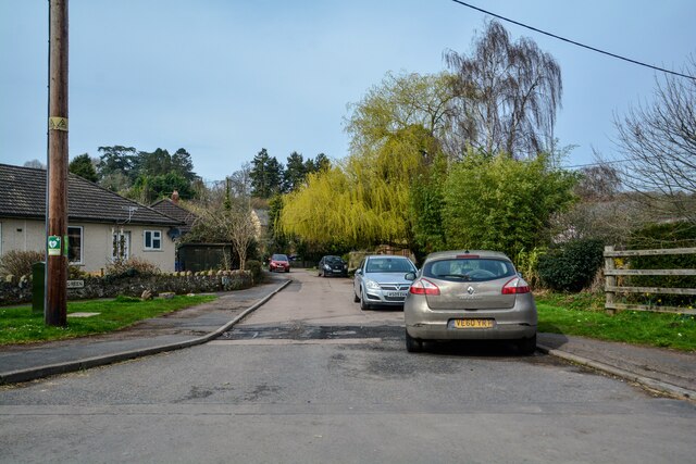
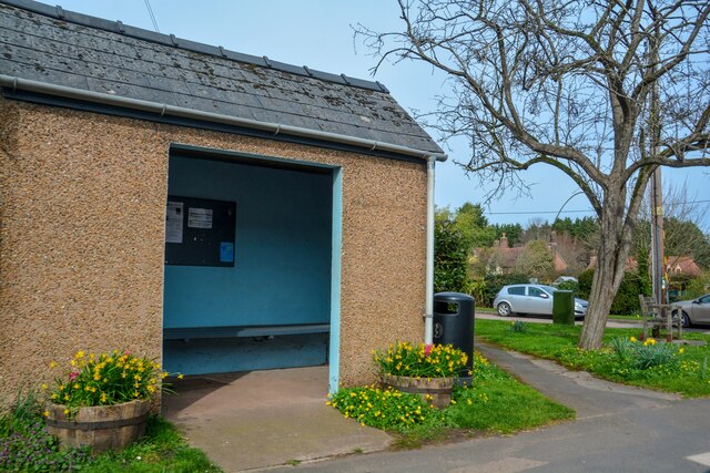
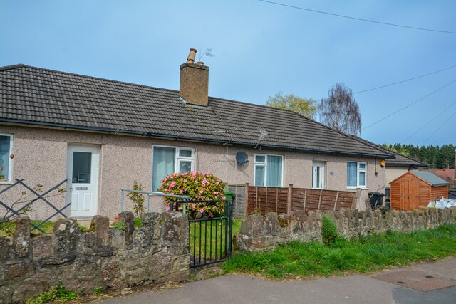
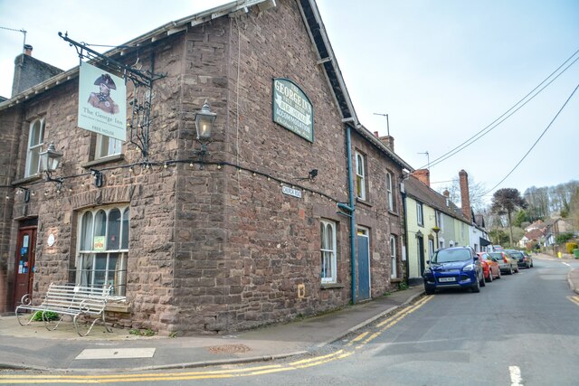
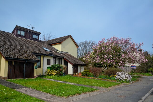
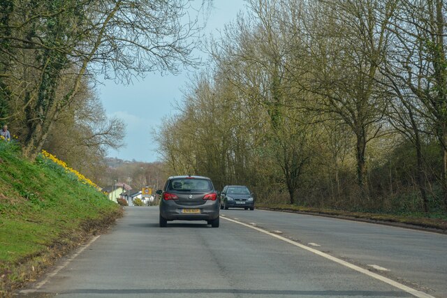
West Hunger Hill Images
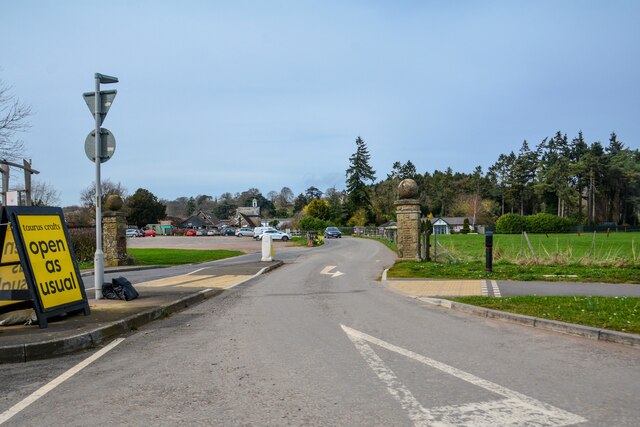
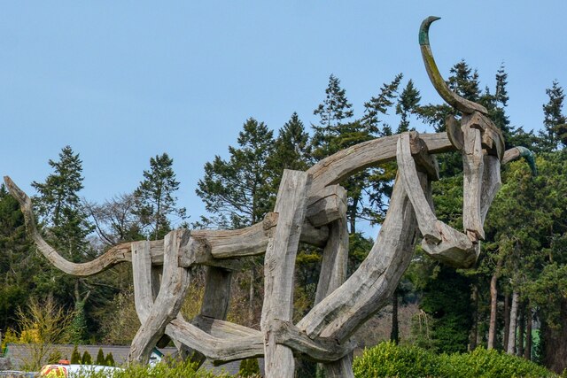
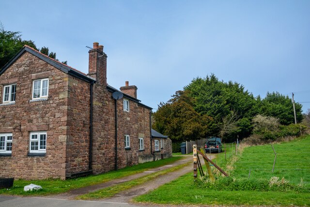
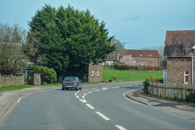
Images are sourced within 2km of 51.719873/-2.5686845 or Grid Reference SO6002. Thanks to Geograph Open Source API. All images are credited.


West Hunger Hill is located at Grid Ref: SO6002 (Lat: 51.719873, Lng: -2.5686845)
Administrative County: Gloucestershire
District: Forest of Dean
Police Authority: Gloucestershire
What 3 Words
///dates.purses.calculate. Near Bream, Gloucestershire
Nearby Locations
Related Wikis
Lydney Park
Lydney Park is a 17th-century country estate surrounding Lydney House, located at Lydney in the Forest of Dean district in Gloucestershire, England. It...

Aylburton
Aylburton is a village and civil parish in the Forest of Dean district of Gloucestershire, England, on the A48 road about two miles south-west of Lydney...

Alvington, Gloucestershire
Alvington is a village and civil parish in the Forest of Dean in Gloucestershire, England, situated on the A48 road, six miles north-east of Chepstow in...

Devil's Chapel Scowles
Devil's Chapel Scowles (grid reference SO606045) is a 44.79-hectare (110.7-acre) biological Site of Special Scientific Interest in Gloucestershire, notified...
Nearby Amenities
Located within 500m of 51.719873,-2.5686845Have you been to West Hunger Hill?
Leave your review of West Hunger Hill below (or comments, questions and feedback).