Aylburton Common Firs
Wood, Forest in Gloucestershire Forest of Dean
England
Aylburton Common Firs
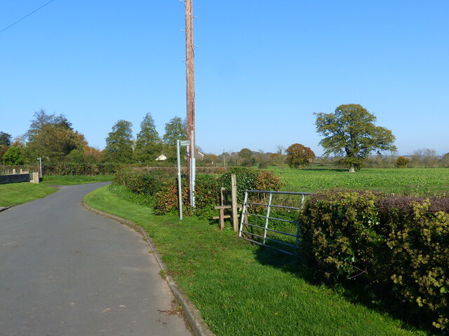
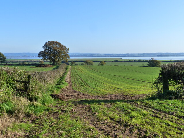
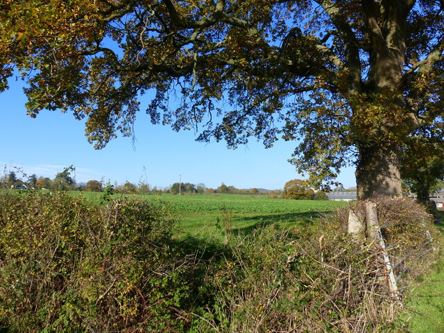
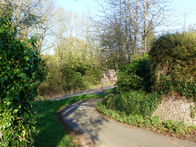
Aylburton Common Firs is a picturesque woodland located in Gloucestershire, England. Spanning over a vast area, the forest is known for its dense growth of fir trees that dominate the landscape. The woodland is a popular destination for nature enthusiasts and hikers due to its serene atmosphere and stunning natural beauty.
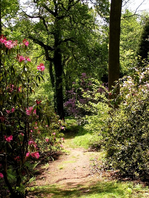
The firs in Aylburton Common are predominantly coniferous trees, characterized by their tall stature and evergreen foliage. The forest floor is covered with a thick carpet of fallen needles, creating a soft and cushioned path for visitors to explore. The aroma of the firs fills the air, providing a refreshing and invigorating experience.
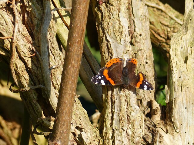
The woodland is home to a diverse range of wildlife, making it a haven for nature lovers. Birdwatchers can spot various species of birds, including woodpeckers, owls, and finches, flitting through the trees. Squirrels scurrying along the branches and rabbits hopping through the undergrowth are also a common sight.
Aylburton Common Firs offers several walking trails, allowing visitors to immerse themselves in the tranquility of the forest. The paths wind through the trees, revealing hidden clearings and secluded picnic spots along the way. The forest also boasts an abundance of wildflowers, adding vibrant pops of color to the green landscape.
Overall, Aylburton Common Firs in Gloucestershire is a captivating woodland that offers a peaceful retreat from the hustle and bustle of daily life. Its towering firs, diverse wildlife, and scenic trails make it a must-visit destination for nature enthusiasts seeking solace in the beauty of the natural world.
If you have any feedback on the listing, please let us know in the comments section below.
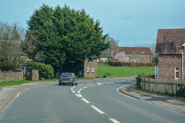
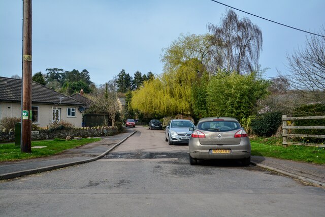
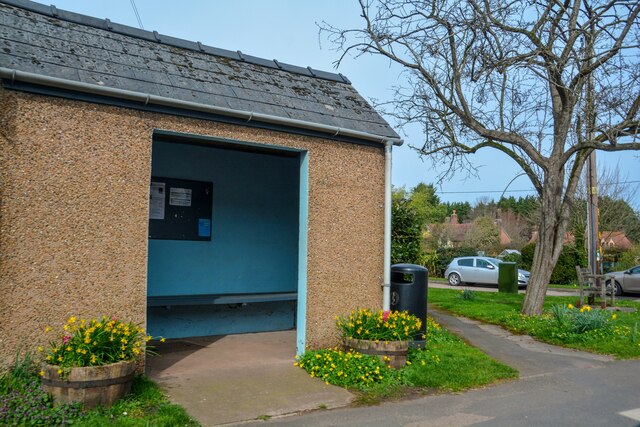
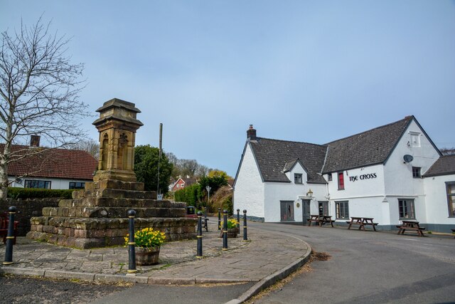
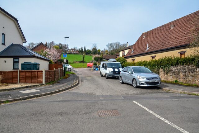
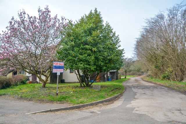
Aylburton Common Firs Images
Images are sourced within 2km of 51.717732/-2.5744333 or Grid Reference SO6002. Thanks to Geograph Open Source API. All images are credited.


Aylburton Common Firs is located at Grid Ref: SO6002 (Lat: 51.717732, Lng: -2.5744333)
Administrative County: Gloucestershire
District: Forest of Dean
Police Authority: Gloucestershire
What 3 Words
///musically.earplugs.elbowing. Near Bream, Gloucestershire
Nearby Locations
Related Wikis

Alvington, Gloucestershire
Alvington is a village and civil parish in the Forest of Dean in Gloucestershire, England, situated on the A48 road, six miles north-east of Chepstow in...

Aylburton
Aylburton is a village and civil parish in the Forest of Dean district of Gloucestershire, England, on the A48 road about two miles south-west of Lydney...
Lydney Park
Lydney Park is a 17th-century country estate surrounding Lydney House, located at Lydney in the Forest of Dean district in Gloucestershire, England. It...

Devil's Chapel Scowles
Devil's Chapel Scowles (grid reference SO606045) is a 44.79-hectare (110.7-acre) biological Site of Special Scientific Interest in Gloucestershire, notified...
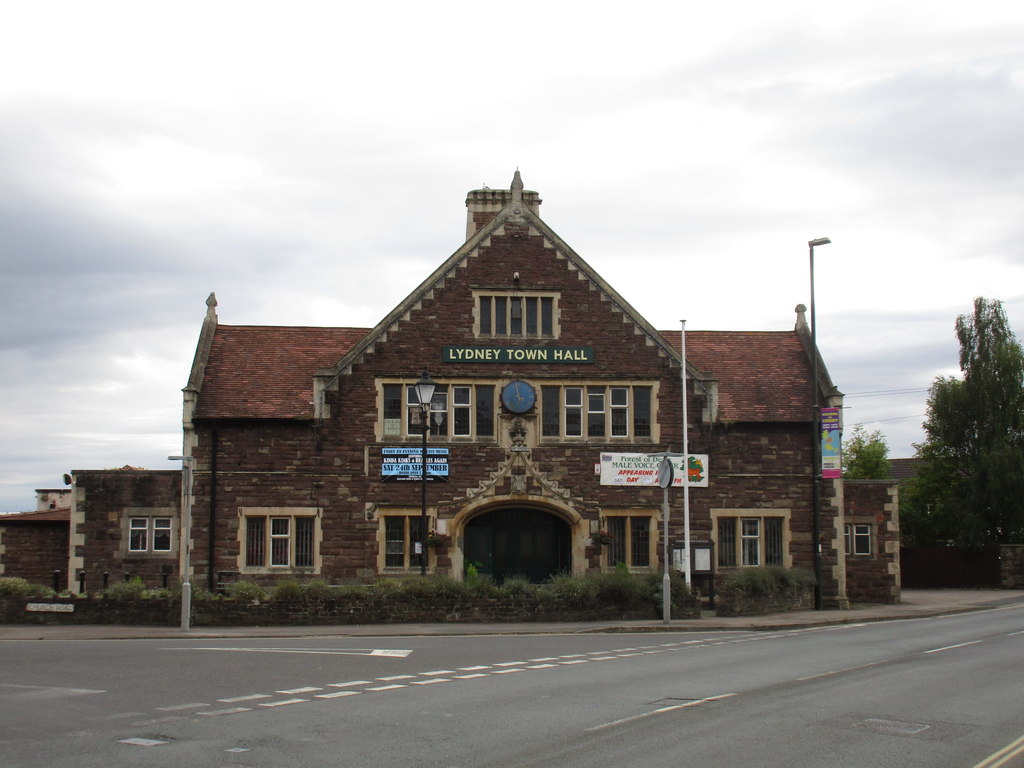
Lydney Town Hall
Lydney Town Hall is a municipal structure in the High Street, Lydney, Gloucestershire, England. The structure, which is used as an events venue, is listed...

Woolaston
Woolaston is a village and civil parish in the Forest of Dean district of Gloucestershire in South West England. It lies on the north side of the Severn...

The Dean Academy
The Dean Academy (formerly Whitecross School) is a mixed secondary school located in Lydney in the English county of Gloucestershire. == Location == The...
White Cross Manor
White Cross Manor was the manor house in Lydney, Gloucestershire, England, of the Wynter family. It was burnt to the ground in April 1645 on the orders...
Nearby Amenities
Located within 500m of 51.717732,-2.5744333Have you been to Aylburton Common Firs?
Leave your review of Aylburton Common Firs below (or comments, questions and feedback).