Black Fell

Hill, Mountain in Northumberland

England

Black Fell

Forestry road near Kielder village
Forestry road near Kielder village Credit: Steven Brown

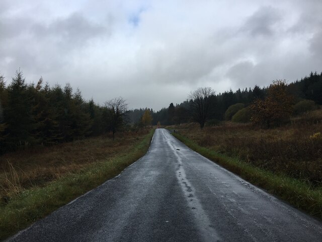
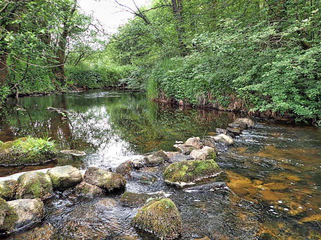
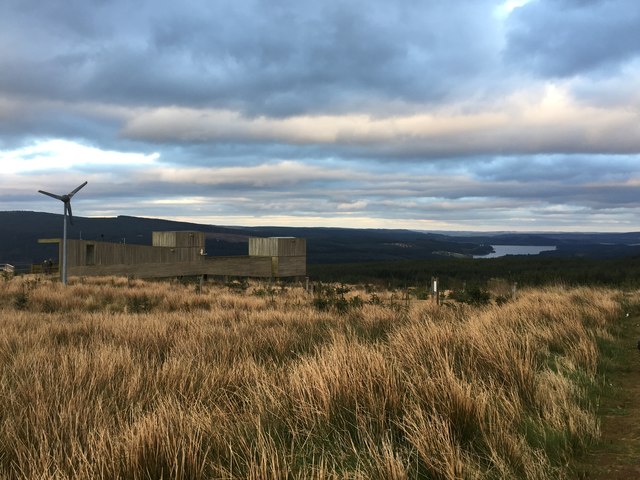
Black Fell is a prominent hill located in Northumberland, England. Situated within the North Pennines Area of Outstanding Natural Beauty, it offers breathtaking panoramic views and is a popular destination for hikers, nature enthusiasts, and photographers alike.

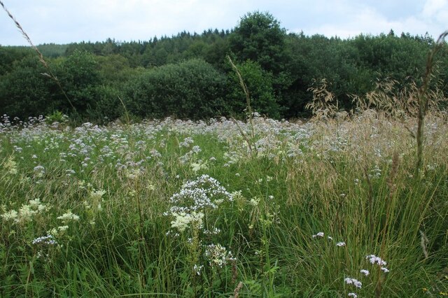
Standing at an elevation of approximately 609 meters (1,998 feet), Black Fell is classified as a hill rather than a mountain. Nevertheless, it provides a challenging ascent for those seeking an outdoor adventure. The terrain is varied, with grassy slopes, rocky outcrops, and heather-covered moorland, adding to the allure of the landscape.

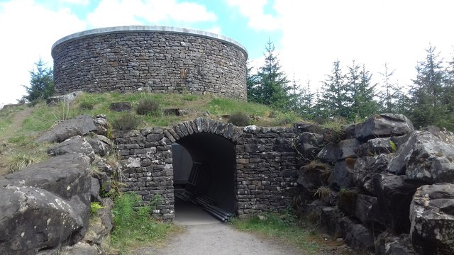
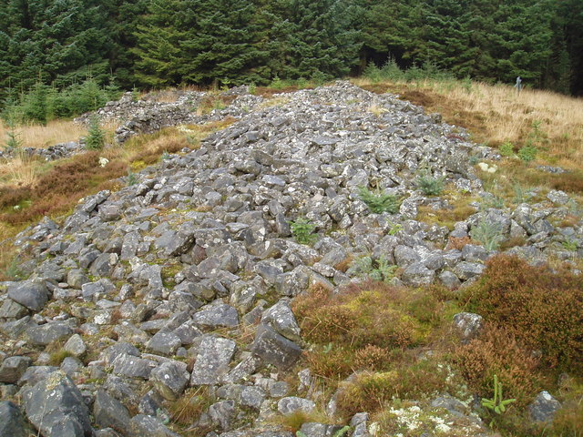
The hill is surrounded by a diverse range of flora and fauna, with sheep grazing on the lower slopes and birds of prey frequently spotted soaring overhead. The area is also known for its rich mining history, and remnants of old lead mines can be found in the vicinity.

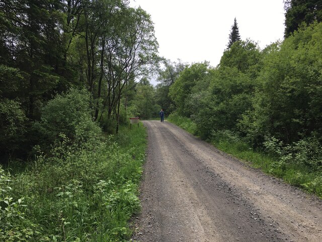
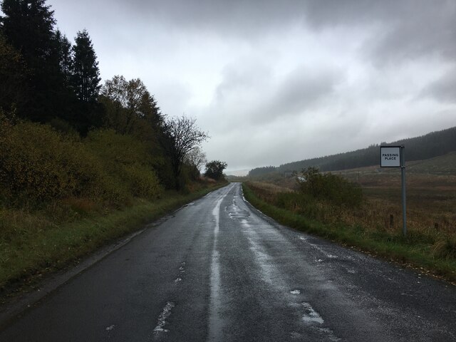
Access to Black Fell is primarily via footpaths and bridleways, making it an ideal destination for walkers and cyclists. There are several routes to reach the summit, each offering different levels of difficulty and duration. A popular starting point is the small village of Allenheads, from where a well-marked trail leads up to the summit.

Black Fell provides a peaceful and serene environment, offering visitors the opportunity to enjoy the beauty of the Northumberland countryside. Whether it's admiring the stunning vistas, exploring the historical sites, or simply immersing oneself in nature, Black Fell guarantees a memorable experience for all who venture to its summit.

If you have any feedback on the listing, please let us know in the comments section below.

Black Fell Images

Images are sourced within 2km of 55.235553/-2.6176327 or Grid Reference NY6093. Thanks to Geograph Open Source API. All images are credited.

Forestry road near Kielder village
Building adjacent Kielder United Reformed Church
Wild flowers in meadow opposite Kielder United Reformed Church
Minor road near Kielder village
Minor road near Kielder
'The Forks' Rally stage 12 Still in Scotland.
'The Forks' Rally stage 12
Still in Scotland.
Ordnance Survey Cut Mark This OS cut mark can be found on the east face of Station Cottage. It marks a point 208.578m above mean sea level.
Ordnance Survey Cut Mark
This OS cut mark can be found on the east face of Station Cottage. It marks a point 208.578m above mean sea level.
Ordnance Survey Rivet This OS rivet can be found on the west parapet of Cleugh Bridge. It marks a point 209.184m above mean sea level.
Ordnance Survey Rivet
This OS rivet can be found on the west parapet of Cleugh Bridge. It marks a point 209.184m above mean sea level.
'The Forks' Rally stage 13 Nearing the end of the stage, and back in England.
'The Forks' Rally stage 13
Nearing the end of the stage, and back in England.
River North Tyne
River North Tyne
Houses at Catcleugh With a clock face set into the end wall - seemingly attached to a mechanism on the far side of the wall, as it was telling the correct time!
Houses at Catcleugh
With a clock face set into the end wall - seemingly attached to a mechanism on the far side of the wall, as it was telling the correct time!
Houses at Kielder village At the top of Castle Drive, facing the through road.
Houses at Kielder village
At the top of Castle Drive, facing the through road.
Valley of the North Tyne near Lightpipe Forestry road descending to the bridge over the North Tyne. The house of Catcleugh <a href="https://www.geograph.org.uk/gridref/NZ6293">NZ6293</a>.can be seen in the distance.
Valley of the North Tyne near Lightpipe
Forestry road descending to the bridge over the North Tyne. The house of Catcleugh NZ6293.can be seen in the distance.
Valley of the North Tyne Seen from the lower slopes of Deadwater Fell, above Ravenshill.
Valley of the North Tyne
Seen from the lower slopes of Deadwater Fell, above Ravenshill.
Kielder Observatory The observatory, opened in 2008, sits on Black fell in one of the UK's least light polluted areas.
Kielder Observatory
The observatory, opened in 2008, sits on Black fell in one of the UK's least light polluted areas.
Sky space Skyspace is one of the most ambitious of the art works scattered round Kielder Forest. Designed by James Turrell, it is intended to give visitors a unique optical experience when viewing the sky through the hole in the roof of the domed interior.
Sky space
Skyspace is one of the most ambitious of the art works scattered round Kielder Forest. Designed by James Turrell, it is intended to give visitors a unique optical experience when viewing the sky through the hole in the roof of the domed interior.
Bells Burn Bridge crossing Bells Burn, the border between England and Scotland.
Bells Burn
Bridge crossing Bells Burn, the border between England and Scotland.
Sheepfold by March Sike over Bells Burn The name March Sike might indicate that this was a former course of the England - Scotland Border, although that now follows Bells Burn.
Sheepfold by March Sike over Bells Burn
The name March Sike might indicate that this was a former course of the England - Scotland Border, although that now follows Bells Burn.
Show me another place!

Black Fell is located at Grid Ref: NY6093 (Lat: 55.235553, Lng: -2.6176327)

Unitary Authority: Northumberland

Police Authority: Northumbria

What 3 Words

///reckoned.protects.boat. Near Rochester, Northumberland

Nearby Locations

Black Fell

Related Wikis

Kielder Forest Star Camp

The Kielder Forest Star Camp is an annual star party held each autumn and spring in Kielder Forest. The five night event is based on the Kielder Campsite...

Kielder railway station

Kielder railway station is a closed railway station that served the village hamlet of Kielder, Northumberland. == History == Kielder railway station was...

Kielder

Kielder is a small, remote village in western Northumberland, England. Located at the head of Kielder Water and in the north west of Kielder Forest, the...

Butteryhaugh

Butteryhaugh is a village in Northumberland, in England. It is situated a short distance to the south-east of Kielder. Although a separate "village" from...

Deadwater, Northumberland

Deadwater is a small settlement in Northumberland, England, about 3 miles (5 km) north west of Kielder, Northumberland, on the English side of the border...

Deadwater railway station

Deadwater railway station is a closed railway station situated on the border between England and Scotland at the head of the North Tyne River. The station...

Devil's Lapful

Devil's Lapful is an archaeological site in Northumberland, England, in Kielder Forest about 0.8 miles (1.3 km) south-east of Kielder. The site, a Neolithic...

Lewiefield Halt railway station

Lewiefield Halt was a wooden-built halt that served the hamlet of Lewie, and a Ministry of Labour training camp, in Northumberland, England. == History... ==

Nearby Amenities

Located within 500m of 55.235553,-2.6176327
Black Fell
Place: locality
Lat/Long: 55.2359272/-2.6179486
The data included in this document is from www.openstreetmap.org. The data is made available under ODbL.

Have you been to Black Fell?

Leave your review of Black Fell below (or comments, questions and feedback).