Bank Hill

Hill, Mountain in Westmorland South Lakeland

England

Bank Hill

Livestock restraint Carved stone livestock neck holder now used ornamentally at door to Mansergh Hall
Livestock restraint Credit: Roy Chestnutt

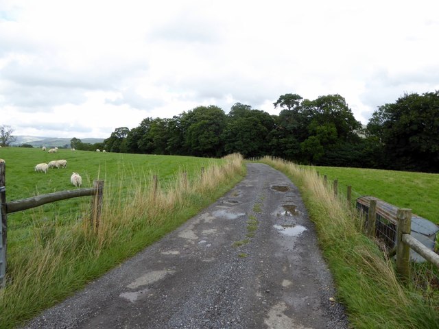
Bank Hill is a prominent hill located in the county of Westmorland in the northwest region of England. Situated near the village of Brampton, it is part of the larger Pennine Mountain range. Bank Hill stands at an impressive elevation of approximately 1,234 feet (376 meters) above sea level, making it one of the higher peaks in the area.

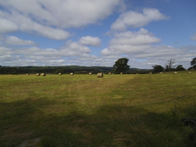
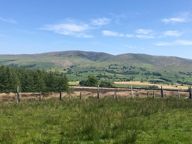
The hill is characterized by its steep slopes and rocky terrain, providing a challenging yet rewarding experience for hikers and mountaineers. Its strategic location offers breathtaking panoramic views of the surrounding countryside, including the nearby Lake District National Park and the Eden Valley.

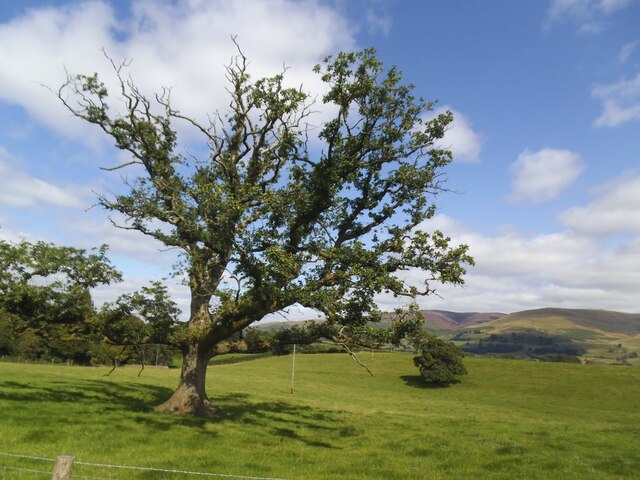
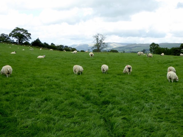
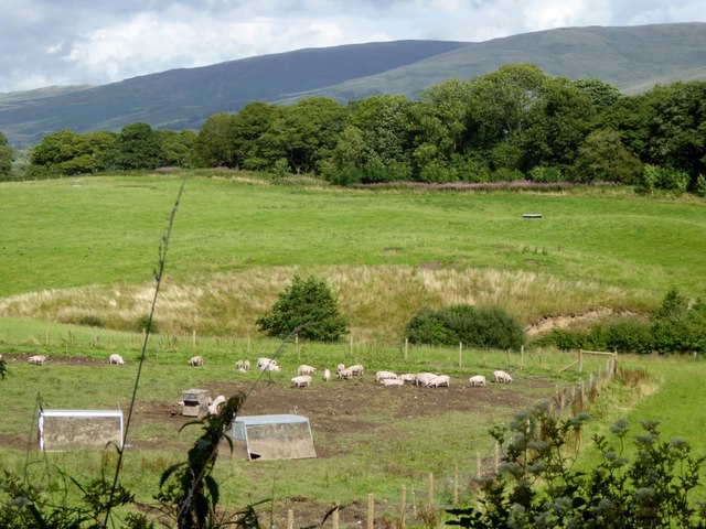
Bank Hill is covered in a mixture of grasses, mosses, and heather, which adds to its natural beauty throughout the year. Its slopes also house a variety of wildlife, including birds of prey, such as buzzards and kestrels, as well as various species of small mammals and reptiles.

The hill is a popular destination for outdoor enthusiasts, who can enjoy a range of activities such as hiking, mountain biking, and rock climbing. Several trails and footpaths traverse the hill, providing different levels of difficulty to cater to all skill levels.

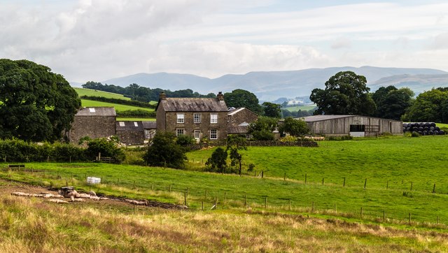
Bank Hill is easily accessible from Brampton and other nearby towns, with designated parking areas available for visitors. It offers a peaceful retreat for nature lovers, providing an opportunity to immerse oneself in the stunning landscapes and diverse wildlife that the Westmorland region has to offer.

If you have any feedback on the listing, please let us know in the comments section below.
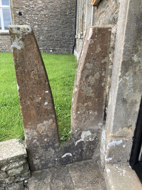
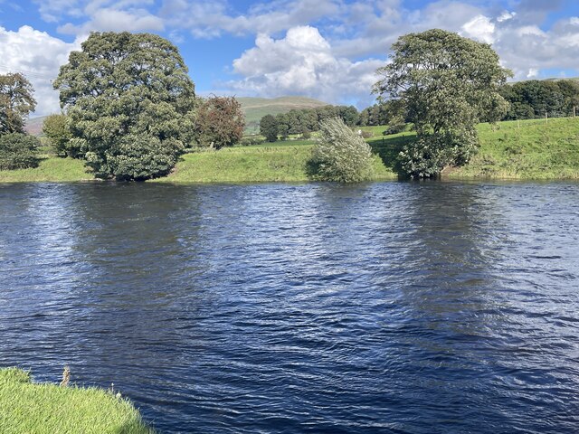
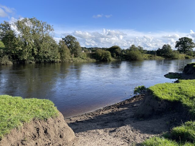
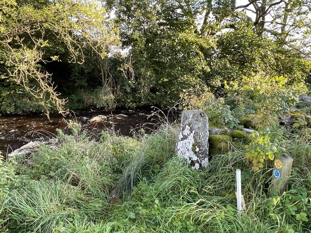
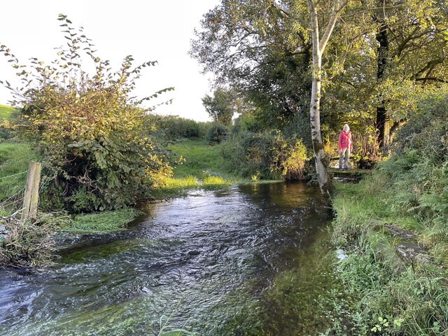
Bank Hill Images

Images are sourced within 2km of 54.241456/-2.6025324 or Grid Reference SD6083. Thanks to Geograph Open Source API. All images are credited.

Livestock restraint Carved stone livestock neck holder now used ornamentally at door to Mansergh Hall
Livestock restraint
Carved stone livestock neck holder now used ornamentally at door to Mansergh Hall
Hayfield in Barbondale A Roman road ran a little to the left of the large tree in the distance, and an early medieval settlement was just the other side of the road behind the camera <a href="https://www.geograph.org.uk/photo/2158331">SD6281 : Ancient settlement near Town End, Barbon</a>. What crop did ancient Romans and early English people grow on this  field?
Hayfield in Barbondale
A Roman road ran a little to the left of the large tree in the distance, and an early medieval settlement was just the other side of the road behind the camera SD6281 : Ancient settlement near Town End, Barbon. What crop did ancient Romans and early English people grow on this field?
Old oak in a field This is the further tree beyond the pair seen in the foreground of <a href="https://www.geograph.org.uk/photo/6816077">SD6083 : Minor road towards Rigmaden</a> taken in the spring of the same year.
Old oak in a field
This is the further tree beyond the pair seen in the foreground of SD6083 : Minor road towards Rigmaden taken in the spring of the same year.
View across Lunedale From Shawrigg towards Calf.
View across Lunedale
From Shawrigg towards Calf.
A683 towards Sedbergh
A683 towards Kirkby Lonsdale
River Lune Ford This is another old impassable ford on the River Lune at Mansergh.
River Lune Ford
This is another old impassable ford on the River Lune at Mansergh.
River Lune Ford This is another old impassable ford on the River Lune near Nether Hall.
River Lune Ford
This is another old impassable ford on the River Lune near Nether Hall.
Ford on Barbon Beck This ford on the Barbon Beck is found beside Kirkby Lonsdale Golf Club.
Ford on Barbon Beck
This ford on the Barbon Beck is found beside Kirkby Lonsdale Golf Club.
Treasonfield Ford This ford is found on High Beckfoot Lane, a track leading down from Treasonfield Farm.
Treasonfield Ford
This ford is found on High Beckfoot Lane, a track leading down from Treasonfield Farm.
Track to Holme House Holme House, a private residence, is on the bank of the River Lune.
Track to Holme House
Holme House, a private residence, is on the bank of the River Lune.
Pasture at Fleshbeck The lush grass should keep the sheep happy.
Pasture at Fleshbeck
The lush grass should keep the sheep happy.
Piggery at Mansergh Hall
Mansergh Hall Mansergh Hall Farm.
Mansergh Hall
Mansergh Hall Farm.
Fingerpost  at Barbon
Fingerpost at Barbon
Hodge Bridge over Barbon Beck
Old Direction Sign - Signpost by Stonedross Lane, Barbon Parish Finial - Bowerbank Foundry post by the UC road, in parish of Barbon (South Lakeland District), Stonedross Lane junction with Moorthwaite Lane.

Surveyed

Milestone Society National ID: WE_SD6282B
Old Direction Sign - Signpost by Stonedross Lane, Barbon Parish
Finial - Bowerbank Foundry post by the UC road, in parish of Barbon (South Lakeland District), Stonedross Lane junction with Moorthwaite Lane. Surveyed Milestone Society National ID: WE_SD6282B
Old Milestone by the A683, Barbon parish Carved stone post by the A683, in parish of BARBON (SOUTH LAKELAND District), North of Barbon (was at SD 62051 83453?? - a bit confused), now just North of track to High Road and Borwens, on West side of road. Sedbergh SKL stone, erected by the Sedbergh turnpike trust in the 19th century. 

Inscription reads:-
: S / 7 : :  K.L. / 3¾ :
Carved benchmark on top.  

Milestone Society National ID: WE_SBKL07.
Old Milestone by the A683, Barbon parish
Carved stone post by the A683, in parish of BARBON (SOUTH LAKELAND District), North of Barbon (was at SD 62051 83453?? - a bit confused), now just North of track to High Road and Borwens, on West side of road. Sedbergh SKL stone, erected by the Sedbergh turnpike trust in the 19th century. Inscription reads:- : S / 7 : : K.L. / 3¾ : Carved benchmark on top. Milestone Society National ID: WE_SBKL07.
Show me another place!

Bank Hill is located at Grid Ref: SD6083 (Lat: 54.241456, Lng: -2.6025324)

Administrative County: Cumbria

District: South Lakeland

Police Authority: Cumbria

What 3 Words

///boggles.cheat.micro. Near Kirkby Lonsdale, Cumbria

Related Wikis

St Peter's Church, Mansergh

St Peter's Church is in the village of Mansergh, Cumbria, England. It is an active Anglican parish church in the deanery of Kendal, the archdeaconry of...

Mansergh, Cumbria

Mansergh is a village and civil parish in the South Lakeland district of the English county of Cumbria. It includes the village of Mansergh and the hamlet...

Barbon Beck

Barbon Beck is a small river in Barbondale, Cumbria. It is a tributary of the River Lune. Rising at Weather Ling Hill, where it is known as Barkin Beck...

Barbon railway station

Barbon railway station was located in Westmorland (now part of Cumbria), England, serving the town and locale of Barbon on the Ingleton Branch Line....

St Bartholomew's Church, Barbon

St Bartholomew's Church is in the village of Barbon, Cumbria, England. It is an active Anglican parish church in the deanery of Kendal, the archdeaconry...

Underley Hall

Underley Hall is a large country house near Kirkby Lonsdale in Cumbria. It was designed in a Jacobean Revival style by the architect George Webster for...

Middleton, Cumbria

Middleton is a village and a civil parish on the A683 road, in the South Lakeland district, in the county of Cumbria, England. Middleton has a church called...

Barbon

Barbon is a village and civil parish in Westmorland and Furness, England. According to the 2001 census it had a population of 263, reducing to 236 at...

Nearby Amenities

Located within 500m of 54.241456,-2.6025324
Generator Method: photovoltaic
Generator Orientation: south
Generator Output Electricity: yes
Generator Solar Modules: 16
Generator Source: solar
Generator Type: solar_photovoltaic_panel
Location: roof
Power: generator
Lat/Long: 54.2410011/-2.6094217
Power: pole
Lat/Long: 54.2404922/-2.6088752
Power: pole
Lat/Long: 54.2408595/-2.609197
Generator Method: photovoltaic
Generator Orientation: east
Generator Output Electricity: yes
Generator Solar Modules: 4
Generator Source: solar
Generator Type: solar_photovoltaic_panel
Location: roof
Power: generator
Lat/Long: 54.2409769/-2.6095203
Power: pole
Lat/Long: 54.2433668/-2.5966161
Power: pole
Lat/Long: 54.2433549/-2.5985916
Power: pole
Lat/Long: 54.2439023/-2.5992178
Power: pole
Lat/Long: 54.2444958/-2.5999204
Power: pole
Lat/Long: 54.2453675/-2.6009234
Power: pole
Lat/Long: 54.2376779/-2.6066385
The data included in this document is from www.openstreetmap.org. The data is made available under ODbL.

Have you been to Bank Hill?

Leave your review of Bank Hill below (or comments, questions and feedback).