Curves Hill

Hill, Mountain in Gloucestershire Forest of Dean

England

Curves Hill

Dean Forest Railway near Upper Forge Visiting Peckett W6 'Rocket' passes Upper Forge with a single brakevan during the Dean Forest Railway's delayed 50th anniversary gala.
Dean Forest Railway near Upper Forge Credit: Gareth James

Curves Hill is a prominent geographical feature located in the county of Gloucestershire, England. It is classified as a hill rather than a mountain due to its elevation, which stands at approximately 278 meters (912 feet) above sea level. The hill is situated within the beautiful Cotswolds region, renowned for its picturesque landscapes and rolling hills.

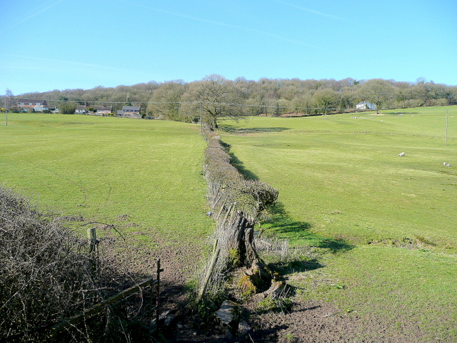
Curves Hill is characterized by its gently sloping terrain, forming a smooth curve that is visible from various vantage points in the surrounding areas. The hill is primarily composed of limestone, a characteristic geological feature of the Cotswolds region. This limestone composition has contributed to the creation of a unique ecosystem, supporting a diverse range of plant and animal species.

The hill offers stunning panoramic views of the surrounding countryside, including the nearby villages of Dumbleton and Wormington. Its location within the Cotswolds Area of Outstanding Natural Beauty makes it a popular destination for hikers, nature enthusiasts, and photographers.

Due to its accessibility and relatively moderate incline, Curves Hill is a suitable destination for individuals of varying fitness levels. Several footpaths and trails crisscross the hill, providing opportunities for leisurely walks or more challenging hikes. These routes often take visitors through scenic meadows, woodlands, and hedgerows, allowing them to fully immerse themselves in the natural beauty of the area.

Overall, Curves Hill is a captivating geographical feature that showcases the charm and splendor of the Cotswolds. Its picturesque setting, diverse wildlife, and accessibility make it a popular destination for those seeking to explore the natural wonders of Gloucestershire.

If you have any feedback on the listing, please let us know in the comments section below.
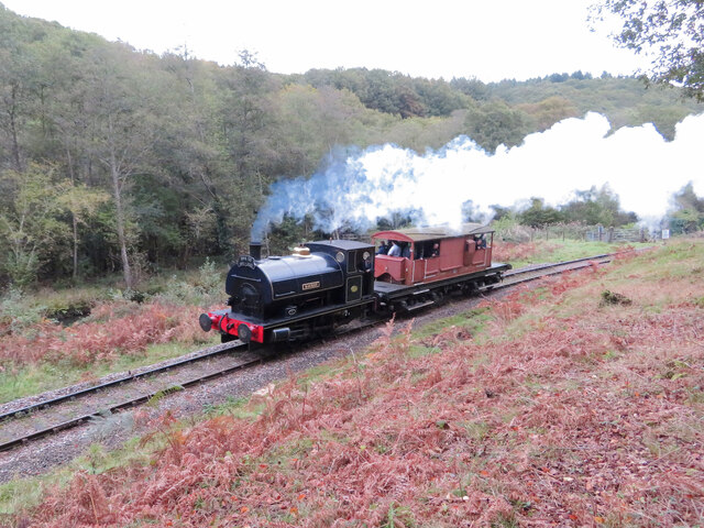
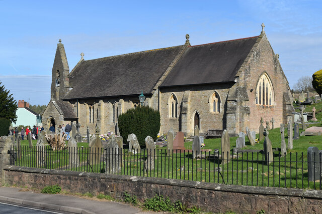
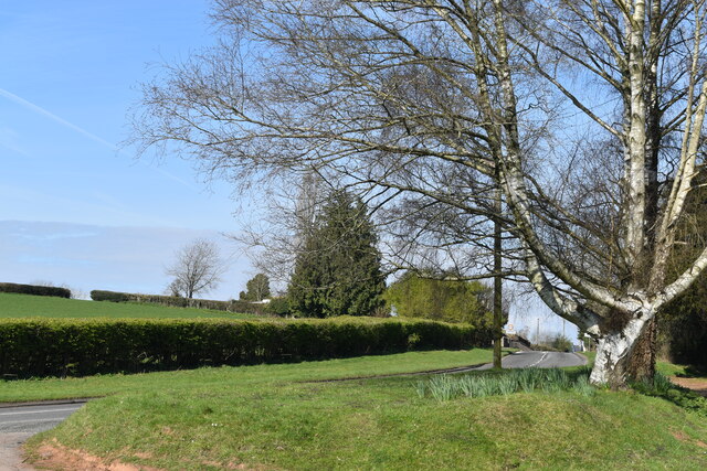
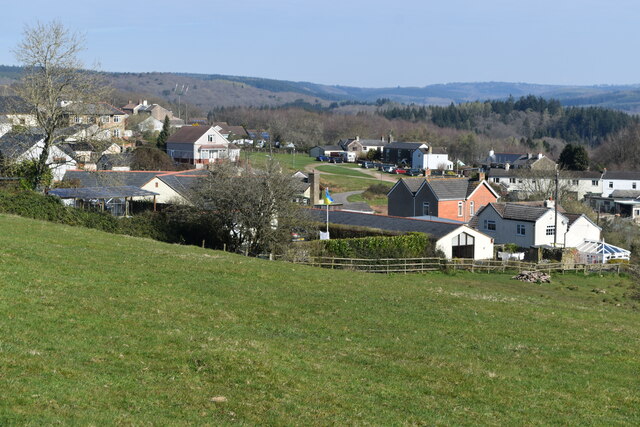
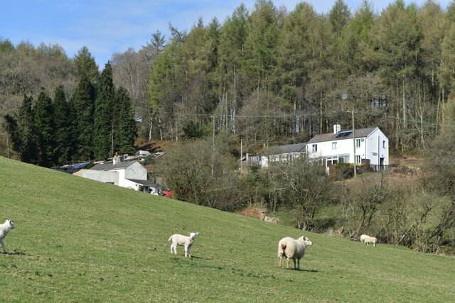
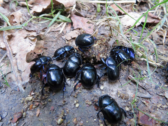
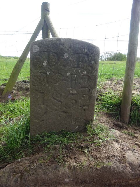
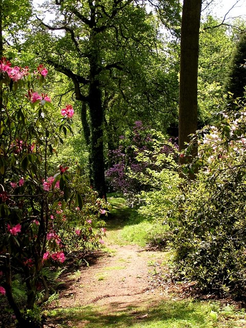
Curves Hill Images

Images are sourced within 2km of 51.731264/-2.567061 or Grid Reference SO6003. Thanks to Geograph Open Source API. All images are credited.

Dean Forest Railway near Upper Forge Visiting Peckett W6 'Rocket' passes Upper Forge with a single brakevan during the Dean Forest Railway's delayed 50th anniversary gala.
Dean Forest Railway near Upper Forge
Visiting Peckett W6 'Rocket' passes Upper Forge with a single brakevan during the Dean Forest Railway's delayed 50th anniversary gala.
DMUs at the Dean Forest Railway Diesel Multiple Unit carriages are shunted at Norchard on the Dean Forest Railway.
DMUs at the Dean Forest Railway
Diesel Multiple Unit carriages are shunted at Norchard on the Dean Forest Railway.
St James’ Church Bream Sunday morning worshippers gathering outside the door.
St James’ Church Bream
Sunday morning worshippers gathering outside the door.
Wide verge beside Lyndsey Road
View over Pastor’s Hill, Bream
Downhill view at Pastor’s Hill
Houses on hillside at Pastor’s Hill
Dean Forest Railway, Norchard Founded by the Dean Forest Railway Society in 1970, the Dean Forest Railway runs along part of the old Severn & Wye Railway lines, which were first built as a tramroad over 200 years ago. The current railway line is approximately 4 1/2 miles long, running from Lydney Junction Station at the south end of the line to Parkend at the north end of the line.
Dean Forest Railway, Norchard
Founded by the Dean Forest Railway Society in 1970, the Dean Forest Railway runs along part of the old Severn & Wye Railway lines, which were first built as a tramroad over 200 years ago. The current railway line is approximately 4 1/2 miles long, running from Lydney Junction Station at the south end of the line to Parkend at the north end of the line.
Train arriving at Norchard Station Travelling northwards towards the station at Parkend. The 4 1/2 mile long Dean Forest Railway, run by volunteers, runs from Parkend in the north to Lydney in the south. Founded by the Dean Forest Railway Society in 1970, the Dean Forest Railway runs along part of the old Severn & Wye Railway lines, which were first built as a tramroad over 200 years ago.
Train arriving at Norchard Station
Travelling northwards towards the station at Parkend. The 4 1/2 mile long Dean Forest Railway, run by volunteers, runs from Parkend in the north to Lydney in the south. Founded by the Dean Forest Railway Society in 1970, the Dean Forest Railway runs along part of the old Severn & Wye Railway lines, which were first built as a tramroad over 200 years ago.
Dean Forest Railway near Norchard Class 08 No. D3937 (08769) heads for Parkend as it passes Upper Forge, soon after leaving Norchard, during the Dean Forest Railway's diesel gala.
Dean Forest Railway near Norchard
Class 08 No. D3937 (08769) heads for Parkend as it passes Upper Forge, soon after leaving Norchard, during the Dean Forest Railway's diesel gala.
A dung beetle in the Forest of Dean A dung beetle is seen doing what it does best!
A dung beetle in the Forest of Dean
A dung beetle is seen doing what it does best!
Dung beetles in the Forest of Dean
West Dean : New Road B4234 Looking along the B4234.
West Dean : New Road B4234
Looking along the B4234.
Boundary Stone, Bream Eaves A Royal Forest of Dean BS, just North of a track near a property called "Baytree", on land owned by "Forestry England" (aka Forestry Commission).

Inscription: D. F. / Nᴼ. 40 / 2006

Milestone Society National ID: GL_DFWDEA40em
Boundary Stone, Bream Eaves
A Royal Forest of Dean BS, just North of a track near a property called "Baytree", on land owned by "Forestry England" (aka Forestry Commission). Inscription: D. F. / Nᴼ. 40 / 2006 Milestone Society National ID: GL_DFWDEA40em
Boundary Stone, Bream Eaves On the eroded banks of a stream, between Bream Eaves and Pastors Hill. Because it has slipped from the top of the bank, this image of a Royal Forest of Dean BS shows the full length of the original 1832 stones.

Inscription: D. F. / Nᴼ. 39 / 1832

Milestone Society National ID: GL_DFWDEA39em
Boundary Stone, Bream Eaves
On the eroded banks of a stream, between Bream Eaves and Pastors Hill. Because it has slipped from the top of the bank, this image of a Royal Forest of Dean BS shows the full length of the original 1832 stones. Inscription: D. F. / Nᴼ. 39 / 1832 Milestone Society National ID: GL_DFWDEA39em
Boundary Stone, Bream A Royal Forest of Dean BS in a farm field on Pastors Hill, against a wall. Beside Gloucestershire footpath RWD56.

Inscription: D. F. / Nᴼ. 41 / 1832

Milestone Society National ID: GL_DFWDEA41em
Boundary Stone, Bream
A Royal Forest of Dean BS in a farm field on Pastors Hill, against a wall. Beside Gloucestershire footpath RWD56. Inscription: D. F. / Nᴼ. 41 / 1832 Milestone Society National ID: GL_DFWDEA41em
Boundary Stone, Bream A Royal Forest of Dean BS on Gloucestershire footpath RWD56, on Pastors Hill farmland.

Inscription: D. F. / Nᴼ. 42 / 1832

Milestone Society National ID: GL_DFWDEA42em
Boundary Stone, Bream
A Royal Forest of Dean BS on Gloucestershire footpath RWD56, on Pastors Hill farmland. Inscription: D. F. / Nᴼ. 42 / 1832 Milestone Society National ID: GL_DFWDEA42em
Assorted old sheds, Dean Forest Railway Beset with piles of old mechanical signalling equipment.
Assorted old sheds, Dean Forest Railway
Beset with piles of old mechanical signalling equipment.
Show me another place!

Curves Hill is located at Grid Ref: SO6003 (Lat: 51.731264, Lng: -2.567061)

Administrative County: Gloucestershire

District: Forest of Dean

Police Authority: Gloucestershire

What 3 Words

///billiard.systems.scream. Near Bream, Gloucestershire

Related Wikis

Devil's Chapel Scowles

Devil's Chapel Scowles (grid reference SO606045) is a 44.79-hectare (110.7-acre) biological Site of Special Scientific Interest in Gloucestershire, notified...

Lydney Park

Lydney Park is a 17th-century country estate surrounding Lydney House, located at Lydney in the Forest of Dean district in Gloucestershire, England. It...

West Dean, Gloucestershire

West Dean is a civil parish, situated in the Forest of Dean district of Gloucestershire, England. == History == The Forest of Dean was an extra-parochial...

Brockhollands

Brockhollands is a hamlet located in the Forest of Dean. It lies between the village of Bream and the town of Lydney in Gloucestershire. It is an obscure...

Have you been to Curves Hill?

Leave your review of Curves Hill below (or comments, questions and feedback).