Western Valley
Valley in Gloucestershire Forest of Dean
England
Western Valley
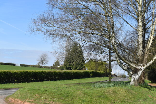
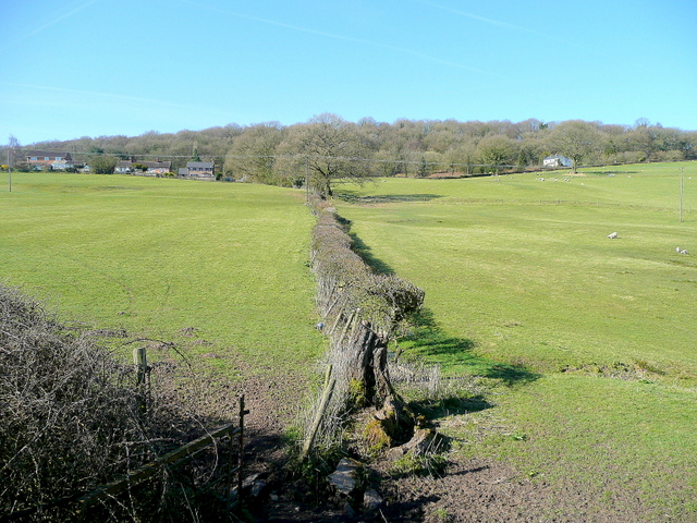
Western Valley is a small village located in the county of Gloucestershire, England. Situated in the western part of the county, it is surrounded by picturesque countryside and rolling hills. The village is nestled in a valley, hence its name, which adds to its scenic charm.
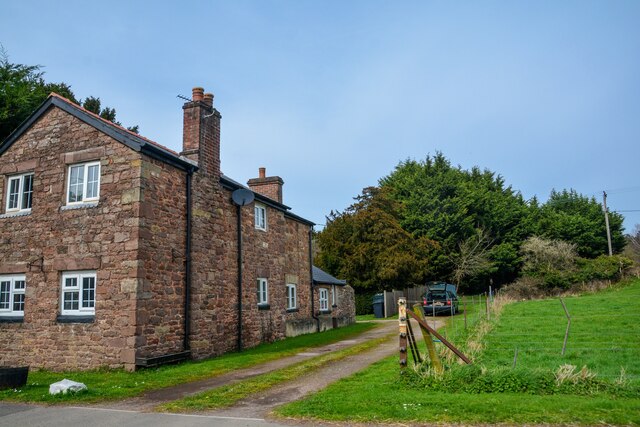
With a population of around 500 residents, Western Valley has a close-knit community that takes pride in its rural heritage. The village is known for its peaceful and idyllic setting, providing a tranquil escape from the hustle and bustle of city life. The local economy is primarily based on agriculture and farming, with several small farms dotting the surrounding landscape.
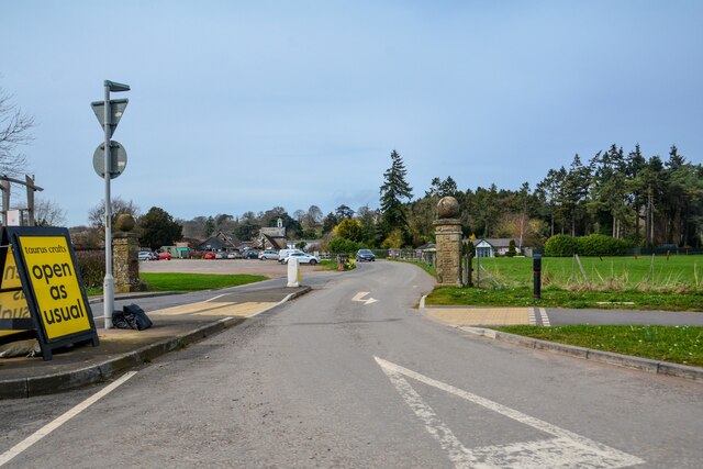
Despite its small size, Western Valley offers a range of amenities for its residents. These include a village hall, a primary school, and a local pub, which serves as a social hub for the community. The village also has a small grocery store, ensuring that basic necessities are easily accessible to its residents.
Nature lovers are drawn to Western Valley for its abundance of natural beauty. The area is renowned for its stunning walking trails, providing opportunities for outdoor enthusiasts to explore the surrounding countryside. The village is also located near several nature reserves and parks, offering diverse flora and fauna for visitors to enjoy.
Overall, Western Valley, Gloucestershire, is a charming and peaceful village that offers a close-knit community, beautiful scenery, and a welcoming atmosphere for residents and visitors alike.
If you have any feedback on the listing, please let us know in the comments section below.
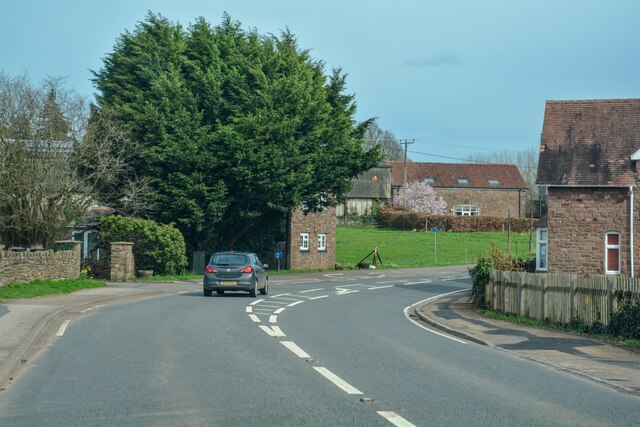
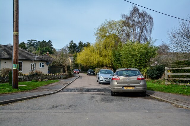
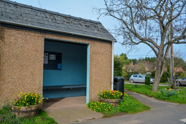
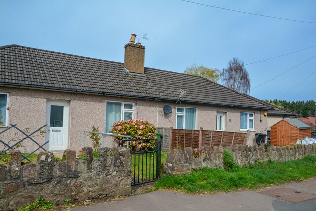
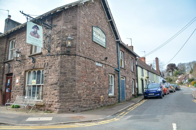
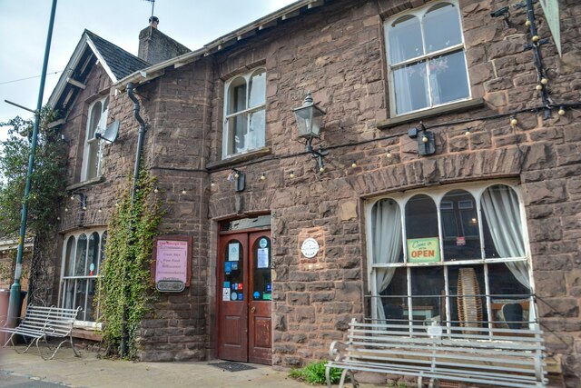
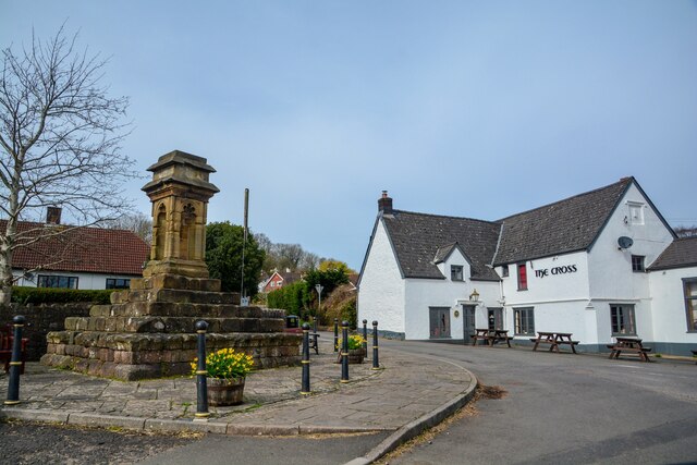
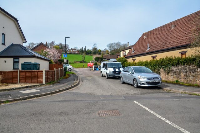
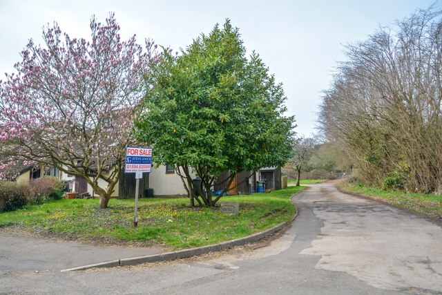
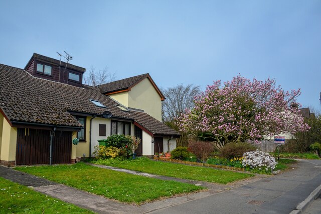
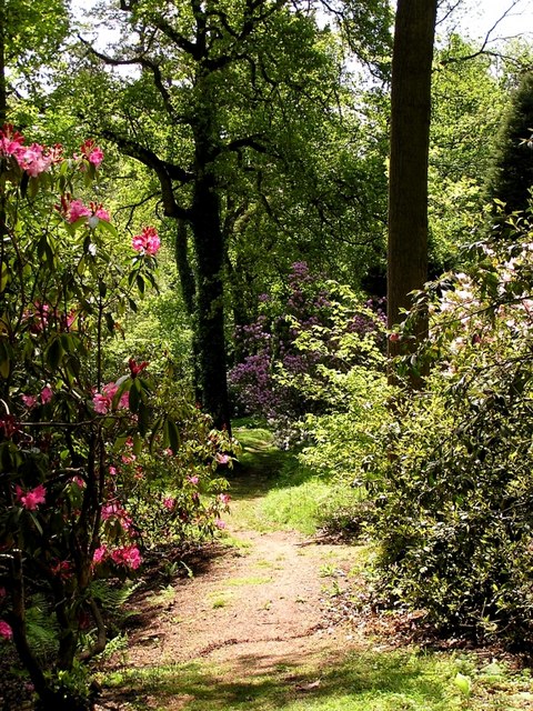
Western Valley Images
Images are sourced within 2km of 51.728275/-2.5678199 or Grid Reference SO6003. Thanks to Geograph Open Source API. All images are credited.


Western Valley is located at Grid Ref: SO6003 (Lat: 51.728275, Lng: -2.5678199)
Administrative County: Gloucestershire
District: Forest of Dean
Police Authority: Gloucestershire
What 3 Words
///prompt.tweed.leopard. Near Bream, Gloucestershire
Nearby Locations
Related Wikis

Devil's Chapel Scowles
Devil's Chapel Scowles (grid reference SO606045) is a 44.79-hectare (110.7-acre) biological Site of Special Scientific Interest in Gloucestershire, notified...
Lydney Park
Lydney Park is a 17th-century country estate surrounding Lydney House, located at Lydney in the Forest of Dean district in Gloucestershire, England. It...

Aylburton
Aylburton is a village and civil parish in the Forest of Dean district of Gloucestershire, England, on the A48 road about two miles south-west of Lydney...

West Dean, Gloucestershire
West Dean is a civil parish, situated in the Forest of Dean district of Gloucestershire, England. == History == The Forest of Dean was an extra-parochial...
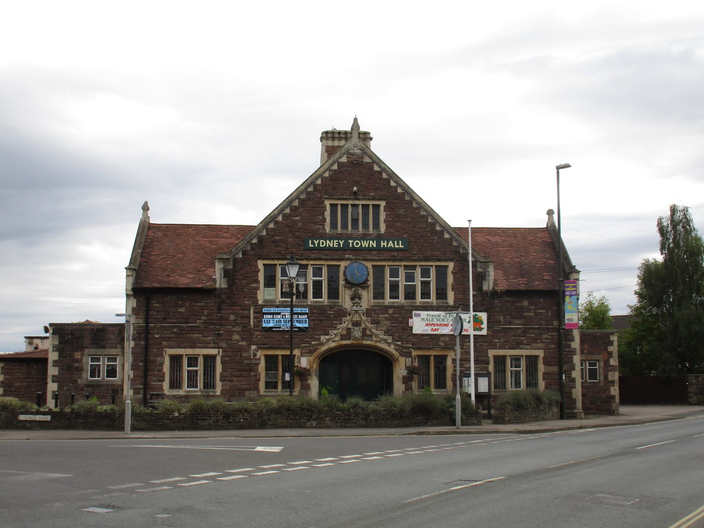
Lydney Town Hall
Lydney Town Hall is a municipal structure in the High Street, Lydney, Gloucestershire, England. The structure, which is used as an events venue, is listed...

Norchard railway station
Norchard is a railway station on the Dean Forest Railway, near Lydney in the Forest of Dean, Gloucestershire. Norchard is the main station of the Dean...
Brockhollands
Brockhollands is a hamlet located in the Forest of Dean. It lies between the village of Bream and the town of Lydney in Gloucestershire. It is an obscure...
Lydney power station
The Lydney power station supplied electricity to 300 square miles (780 km2) of West Gloucestershire, England from 1923 until 1967. The supply area included...
Have you been to Western Valley?
Leave your review of Western Valley below (or comments, questions and feedback).