Ayle
Settlement in Northumberland
England
Ayle
Ayle is a small village located in the county of Northumberland, in the northeast of England. Situated near the River Coquet, it is nestled amidst picturesque countryside, offering residents and visitors a tranquil and idyllic setting.
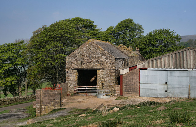
The village is characterized by its charming and traditional architecture, with many of the houses and buildings dating back several centuries. The local stone, often used in construction, gives the village a distinctive and timeless appearance. Ayle's population is small, with just a few hundred residents, contributing to its close-knit community and friendly atmosphere.
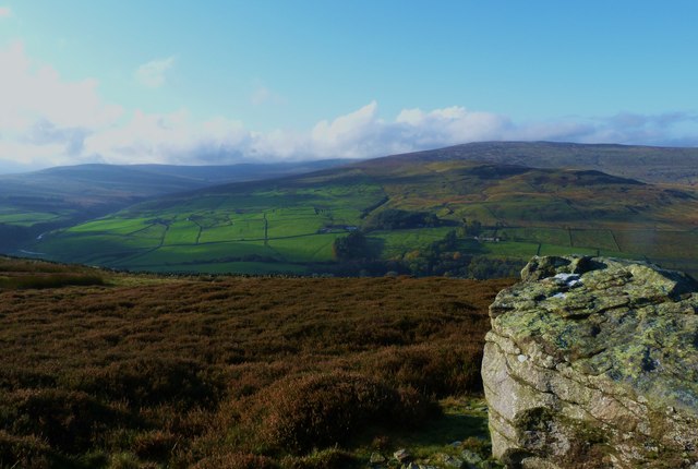
Ayle benefits from its proximity to the Northumberland National Park, which is renowned for its outstanding natural beauty and diverse wildlife. The park offers numerous opportunities for outdoor activities such as hiking, cycling, and birdwatching, attracting nature enthusiasts from far and wide.
Despite its small size, Ayle has a few amenities to cater to the needs of its residents. These include a local pub, providing a cozy spot for socializing and enjoying a drink or a meal. Neighboring towns and villages offer additional services, including shops, schools, and healthcare facilities, ensuring that residents have access to necessary amenities within a short distance.
Overall, Ayle is a charming and peaceful village that offers a retreat from the hustle and bustle of city life. Its stunning natural surroundings and tight-knit community make it an appealing place to live or visit for those seeking a quieter and more rural lifestyle.
If you have any feedback on the listing, please let us know in the comments section below.
Ayle Images
Images are sourced within 2km of 54.838008/-2.441218 or Grid Reference NY7149. Thanks to Geograph Open Source API. All images are credited.


Ayle is located at Grid Ref: NY7149 (Lat: 54.838008, Lng: -2.441218)
Unitary Authority: Northumberland
Police Authority: Northumbria
What 3 Words
///butternut.refer.lawn. Near Alston, Cumbria
Nearby Locations
Related Wikis

Ayle
Ayle is a village in Northumberland, England, situated to the north of Alston. There are six residences in the hamlet. == Governance == Ayle is in the...

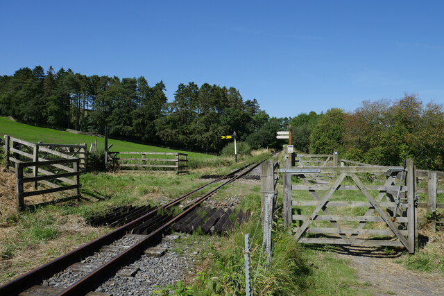
Gilderdale Halt railway station
Gilderdale Halt railway station, also known as Gilderdale railway station, served the town of Alston, Cumbria, England, from 1986 to 1999 on the South...
Kirkhaugh
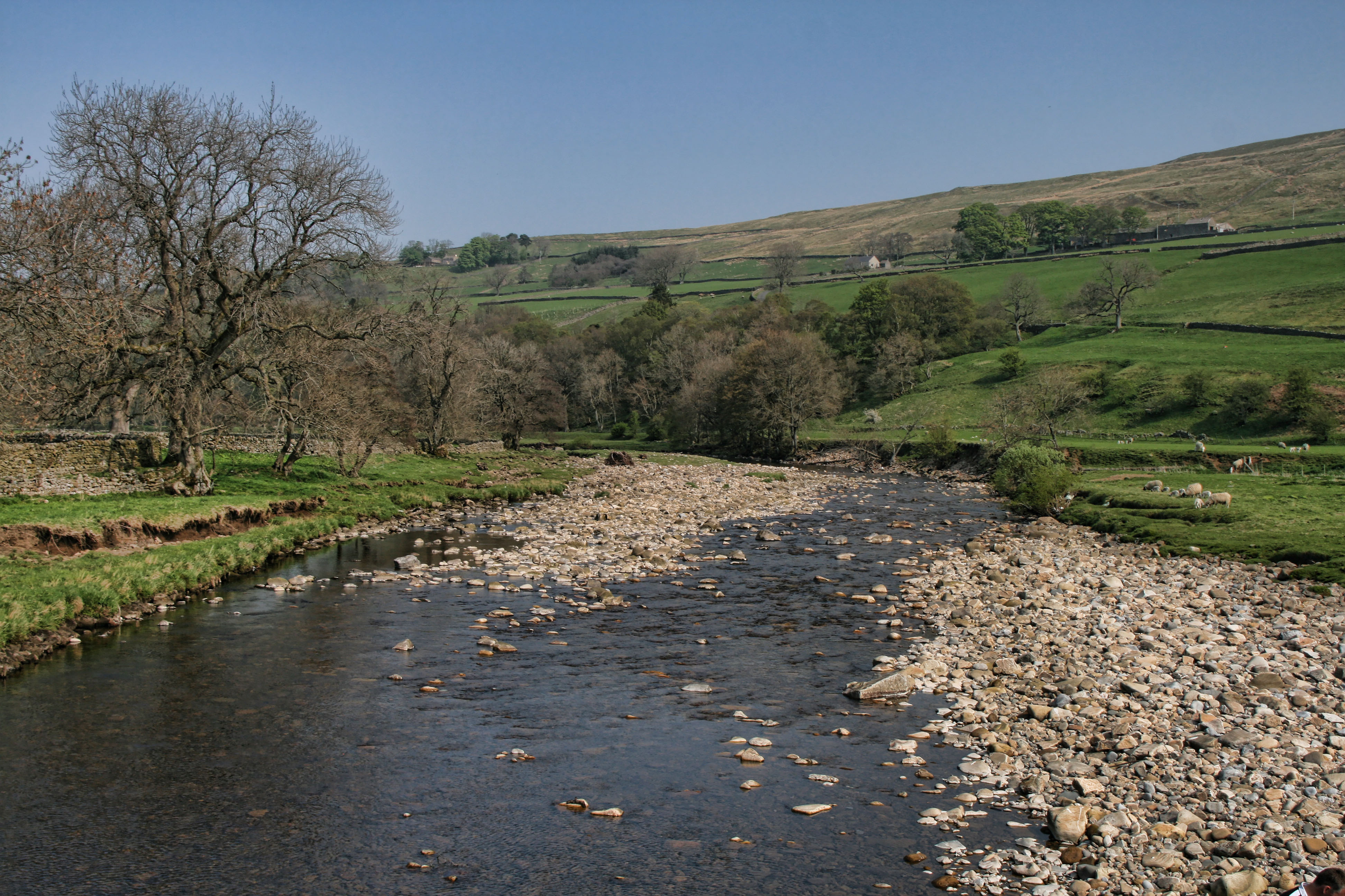
Kirkhaugh is a very small village and former civil parish, now in the parish of Knaresdale with Kirkhaugh, adjacent to the River South Tyne in Northumberland...

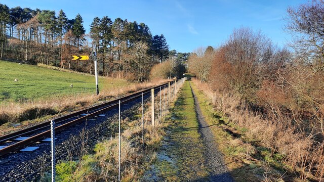
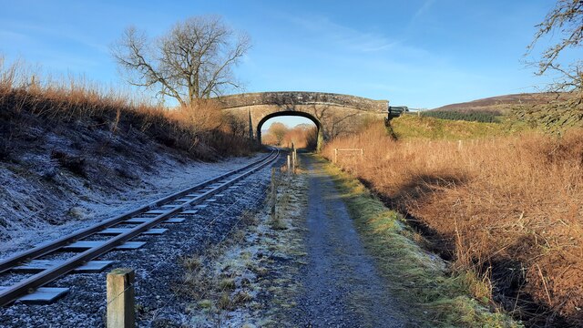
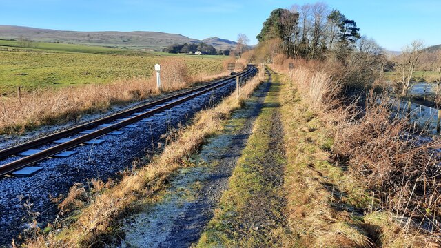
South Tynedale Railway
The South Tynedale Railway is a preserved, 2 ft (610 mm) narrow gauge heritage railway in Northern England and at 875ft is England's second highest narrow...
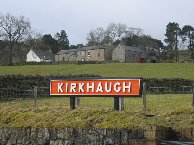
Kirkhaugh railway station
Kirkhaugh is a railway station on the South Tynedale Railway, which runs between Slaggyford and Alston. The station serves the hamlet of Kirkhaugh in Northumberland...
Whitley Castle
Whitley Castle (Epiacum) is a large, unusually shaped Roman fort (Latin: castra) north-west of the town of Alston, Cumbria, England. The castrum, which...
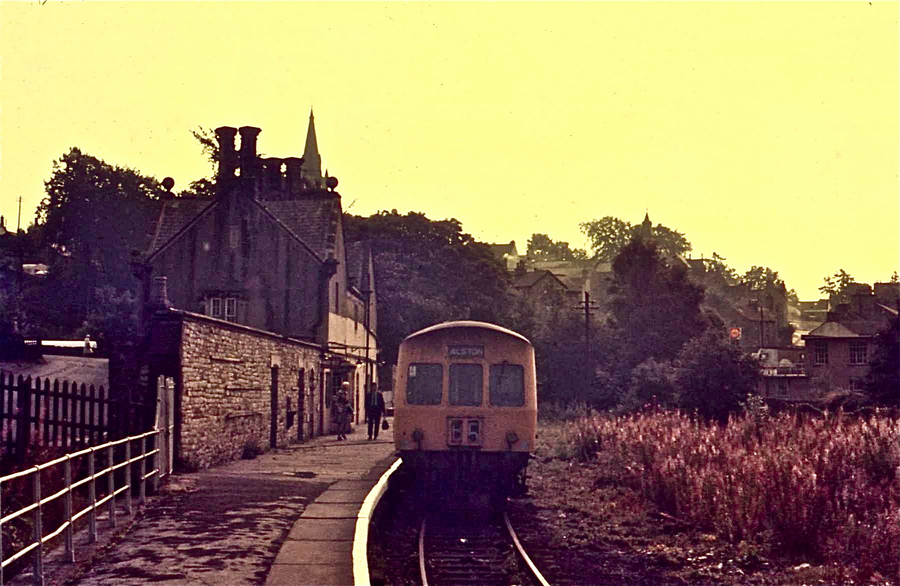
Alston railway station
Alston is a heritage railway station on the South Tynedale Railway. The station, situated 13 miles (21 km) south of Haltwhistle, is in the market town...

Alston Town Hall
Alston Town Hall is a municipal building in Front Street, Alston, Cumbria, England. The town hall, which is currently used as a public library, is a Grade...
Nearby Amenities
Located within 500m of 54.838008,-2.441218Have you been to Ayle?
Leave your review of Ayle below (or comments, questions and feedback).