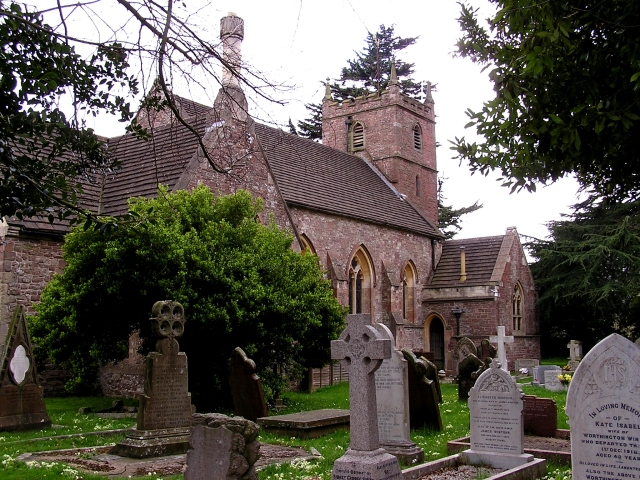
Aylburton
Settlement in Gloucestershire Forest of Dean
England
Aylburton
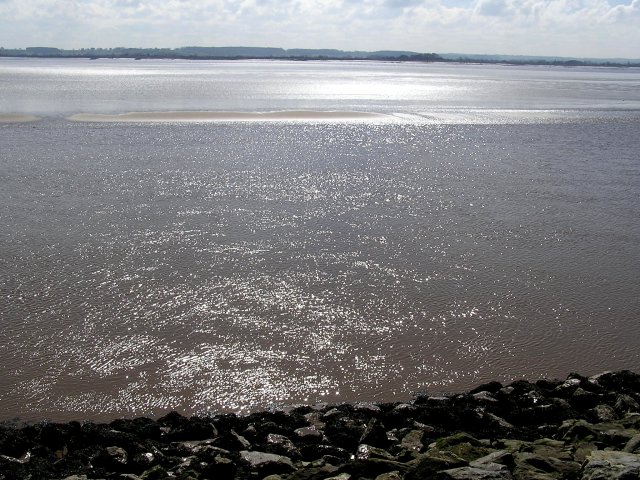
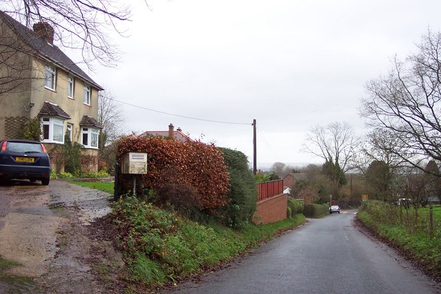
Aylburton is a small village located in the Forest of Dean district of Gloucestershire, England. It is situated about 3 miles southeast of the town of Lydney and lies on the eastern bank of the River Severn. The village is nestled in a picturesque rural setting, surrounded by rolling hills, lush green meadows, and dense woodlands.
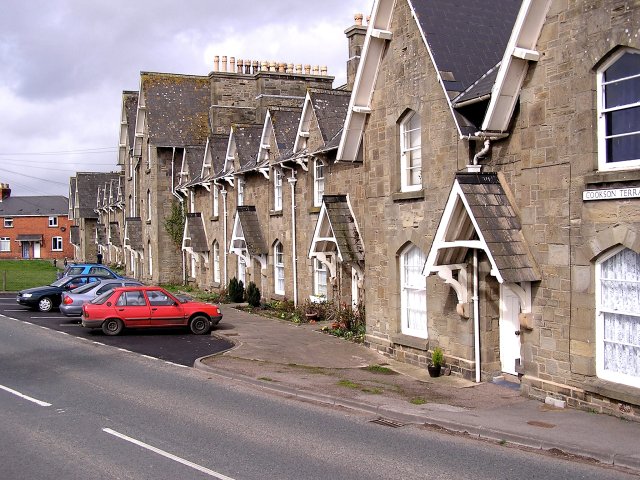
Historically, Aylburton was an agricultural community, with farming being the primary occupation for its residents. Over the years, the village has evolved, and today it is a mix of residential, commercial, and industrial areas. Despite these developments, Aylburton has managed to preserve its quaint charm and rural character.
The village boasts a few amenities to cater to its residents' needs, including a primary school, a village hall, and a local pub. The nearby town of Lydney offers additional facilities and services, such as shops, supermarkets, healthcare facilities, and secondary schools.
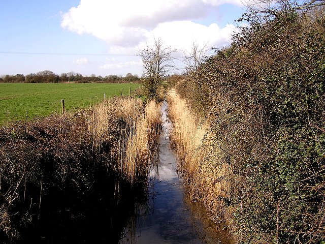
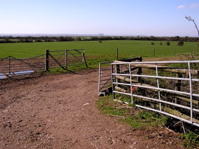
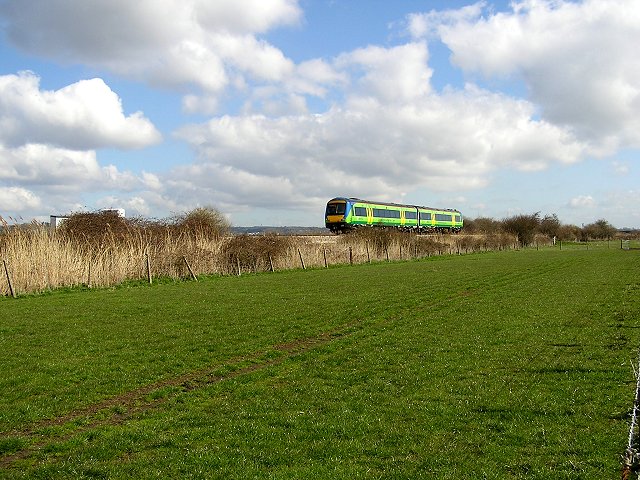
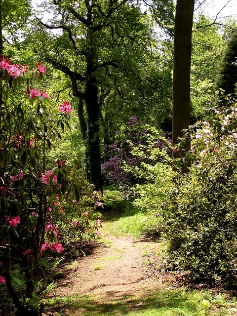
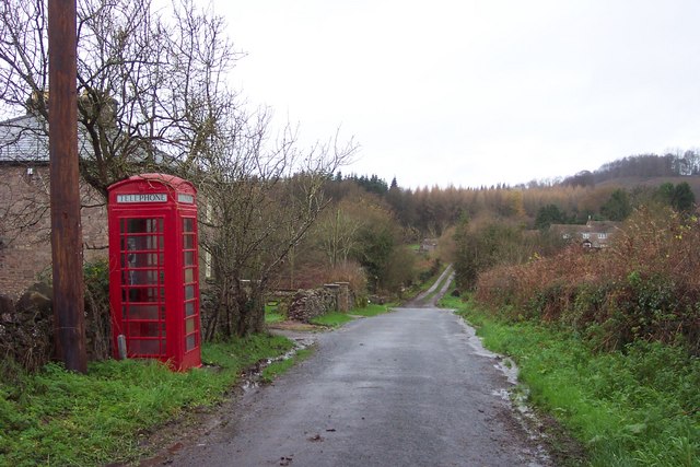
Aylburton is surrounded by natural beauty and offers numerous opportunities for outdoor activities. The Forest of Dean, located just a short distance away, provides ample walking, cycling, and horse riding trails. The River Severn also offers possibilities for boating, fishing, and birdwatching.
Overall, Aylburton is a peaceful and picturesque village, offering a high quality of life and a close-knit community spirit. Its proximity to the Forest of Dean and the River Severn makes it an ideal location for those seeking a tranquil rural lifestyle with easy access to nature.
If you have any feedback on the listing, please let us know in the comments section below.
Aylburton Images
Images are sourced within 2km of 51.71351/-2.555272 or Grid Reference SO6101. Thanks to Geograph Open Source API. All images are credited.
Aylburton is located at Grid Ref: SO6101 (Lat: 51.71351, Lng: -2.555272)
Administrative County: Gloucestershire
District: Forest of Dean
Police Authority: Gloucestershire
What 3 Words
///players.props.burglars. Near Lydney, Gloucestershire
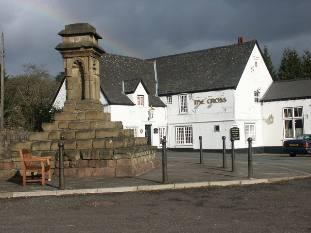
Nearby Locations
Related Wikis

Aylburton
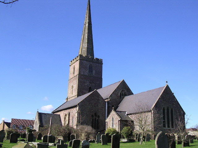
Aylburton is a village and civil parish in the Forest of Dean district of Gloucestershire, England, on the A48 road about two miles south-west of Lydney...

Lydney Park
Lydney Park is a 17th-century country estate surrounding Lydney House, located at Lydney in the Forest of Dean district in Gloucestershire, England. It...

The Dean Academy
The Dean Academy (formerly Whitecross School) is a mixed secondary school located in Lydney in the English county of Gloucestershire. == Location == The...
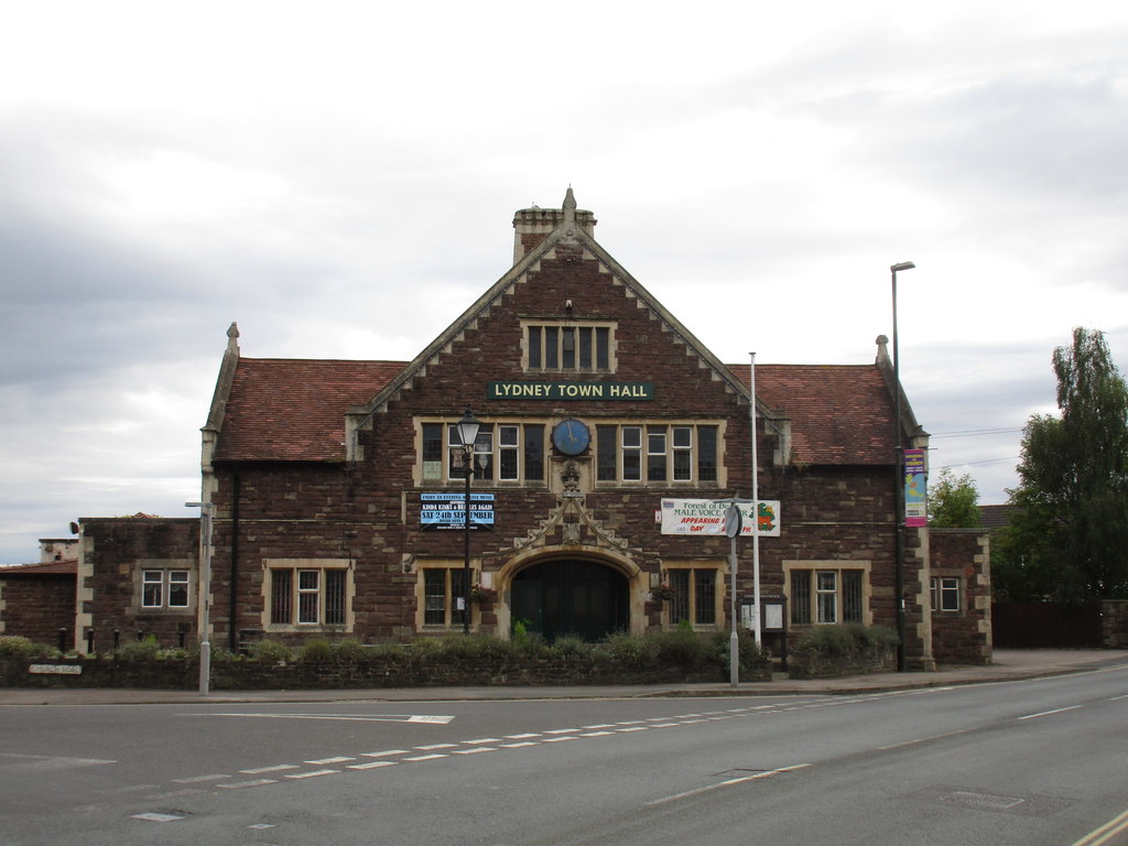
Lydney Town Hall
Lydney Town Hall is a municipal structure in the High Street, Lydney, Gloucestershire, England. The structure, which is used as an events venue, is listed...

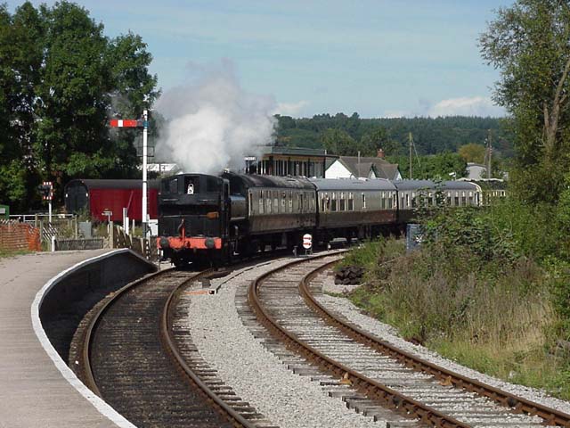
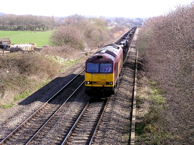
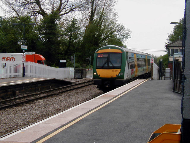
Lydney railway station
Lydney railway station is a railway station serving the town of Lydney in Gloucestershire, England. It is located on the Gloucester-Newport line, 133 miles...

Alvington, Gloucestershire
Alvington is a village and civil parish in the Forest of Dean in Gloucestershire, England, situated on the A48 road, six miles north-east of Chepstow in...
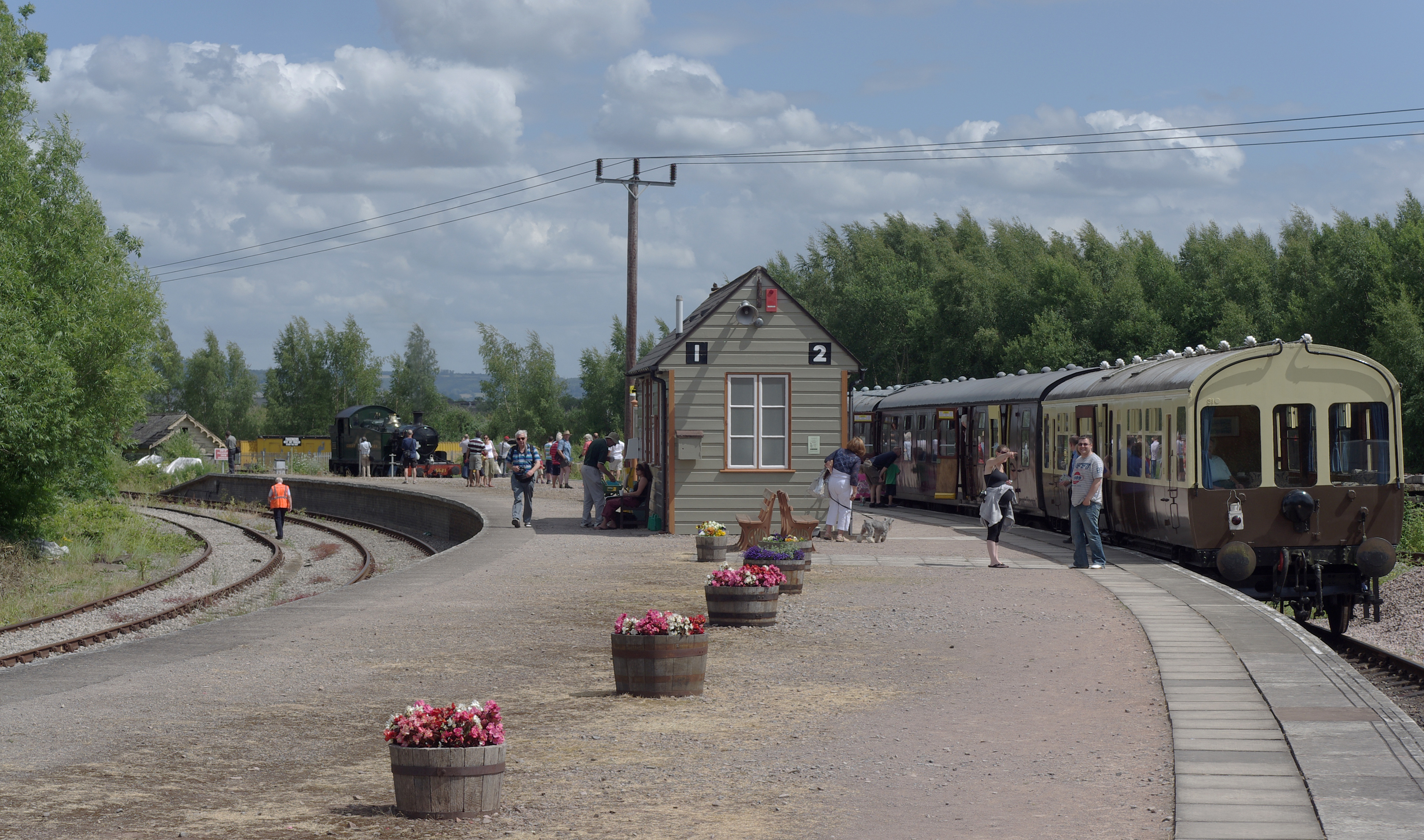
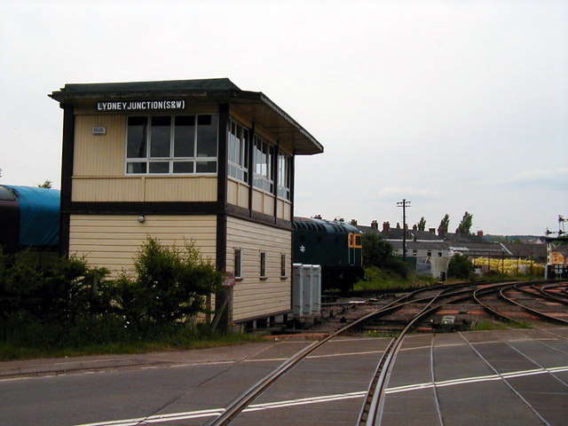
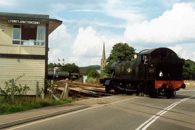
Lydney Junction railway station
Lydney Junction railway station is a railway station near Lydney in Gloucestershire. The station is now the southern terminus of the Dean Forest Railway...
White Cross Manor
White Cross Manor was the manor house in Lydney, Gloucestershire, England, of the Wynter family. It was burnt to the ground in April 1645 on the orders...
Nearby Amenities
Located within 500m of 51.71351,-2.555272Have you been to Aylburton?
Leave your review of Aylburton below (or comments, questions and feedback).