Aykley Heads

Settlement in Durham

England

Aykley Heads

Durham Cathedral, 1936 Taken by my grandfather, George W Baker. His son/my father took a similar photo two years later of <a href="https://www.geograph.org.uk/photo/2161815">NZ2742 : Durham Cathedral in 1938</a>.
Durham Cathedral, 1936 Credit: George W Baker

Aykley Heads is a charming and picturesque area located in Durham, a historic city in the northeast of England. Situated just south of the city center, Aykley Heads is known for its lush green surroundings, rolling hills, and tranquil atmosphere. The area is primarily residential, offering a mix of housing options ranging from quaint cottages to modern family homes.

One of the prominent features of Aykley Heads is its expansive parkland, which covers a vast area and provides an idyllic setting for leisurely walks, picnics, and outdoor activities. The park is adorned with beautiful trees, well-maintained lawns, and a variety of flora and fauna, creating a haven for nature enthusiasts. The park also includes several sports fields, allowing residents to engage in recreational activities such as football or cricket.

Notably, Aykley Heads is also home to a number of prominent institutions and businesses. The area is particularly renowned for housing the headquarters of Durham County Council, one of the largest local government authorities in England. Additionally, several technology companies and professional services firms have established their offices in Aykley Heads, contributing to its status as a thriving business hub.

Despite its proximity to the city center, Aykley Heads maintains a sense of tranquility and escape from the hustle and bustle. Its serene surroundings, coupled with its convenient location, make it an attractive place to live for individuals seeking a balance between urban amenities and natural beauty.

If you have any feedback on the listing, please let us know in the comments section below.
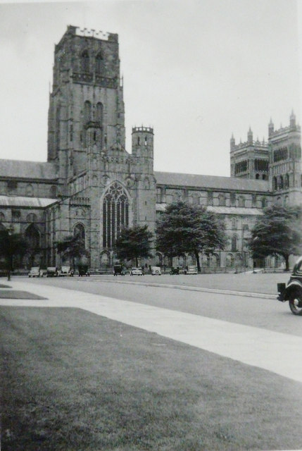
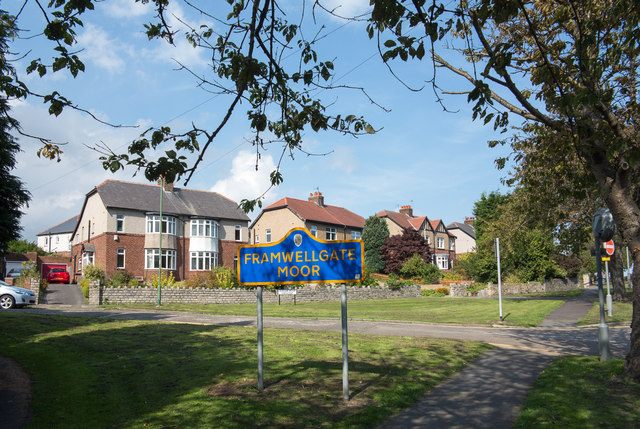
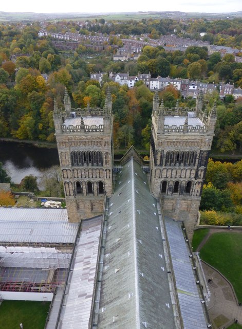
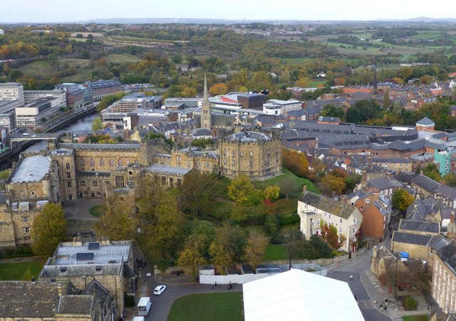
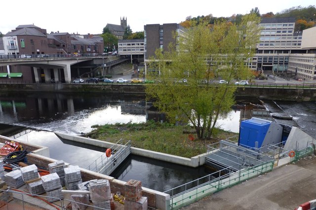
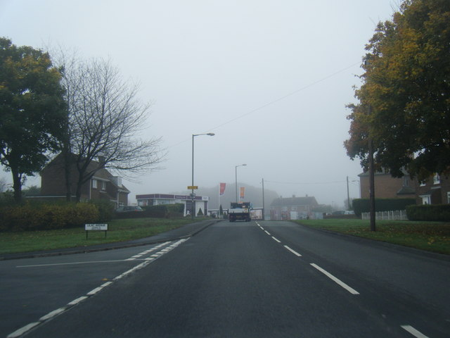
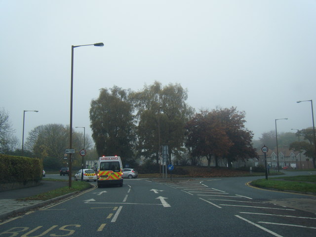
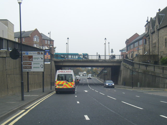
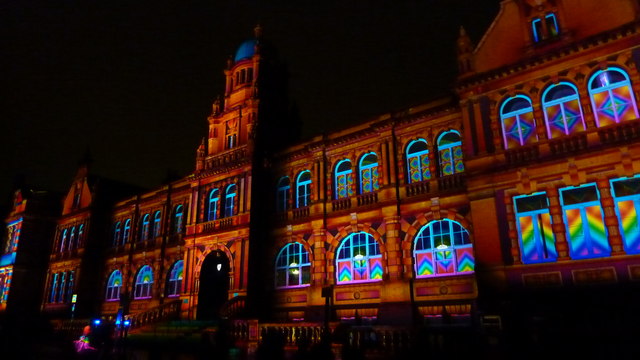
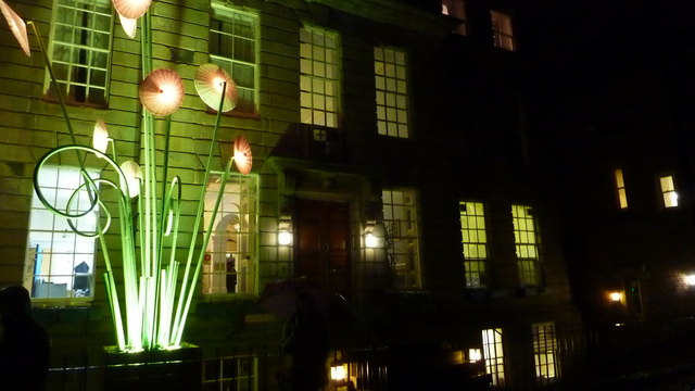
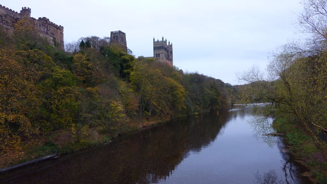
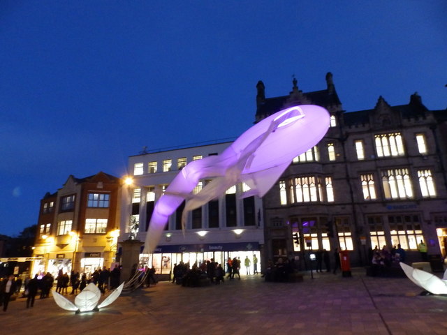
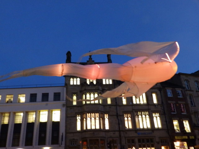
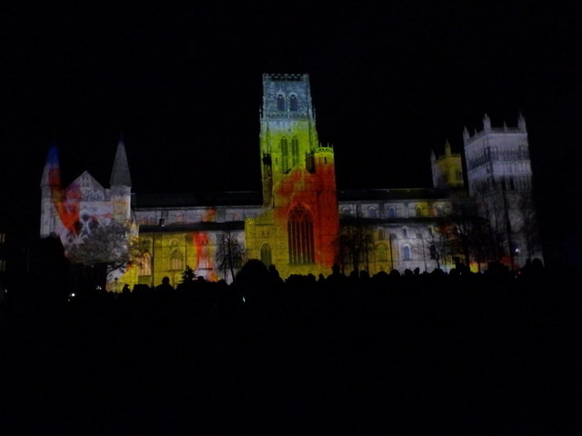
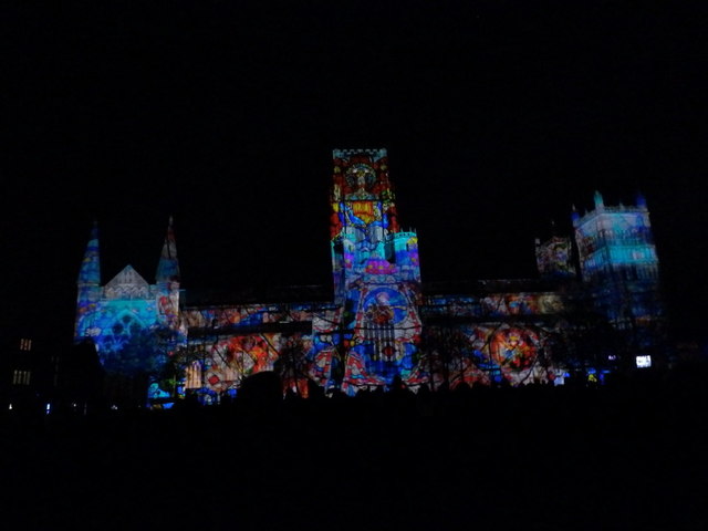
Aykley Heads Images

Images are sourced within 2km of 54.781239/-1.5972808 or Grid Reference NZ2643. Thanks to Geograph Open Source API. All images are credited.

Durham Cathedral, 1936 Taken by my grandfather, George W Baker. His son/my father took a similar photo two years later of <a href="https://www.geograph.org.uk/photo/2161815">NZ2742 : Durham Cathedral in 1938</a>.
Durham Cathedral, 1936
Taken by my grandfather, George W Baker. His son/my father took a similar photo two years later of NZ2742 : Durham Cathedral in 1938.
Semi-detached houses in Framwellgate Moor Framwellgate Moor is an area of Durham city, north of the centre. The houses are on Durham Moor Crescent. The blue and yellow sign is in a style in use in County Durham for some time.
Semi-detached houses in Framwellgate Moor
Framwellgate Moor is an area of Durham city, north of the centre. The houses are on Durham Moor Crescent. The blue and yellow sign is in a style in use in County Durham for some time.
The Western Towers of Durham Cathedral Viewed from the top of the Central Tower.
The Cathedral’s original western towers were small, and were later incorporated into the larger, current structures when these were built around 1200.
The Cathedral’s towers were especially important in Durham, where the building stands surrounded by rising land, and would otherwise be hidden from view.
The Western Towers of Durham Cathedral
Viewed from the top of the Central Tower. The Cathedral’s original western towers were small, and were later incorporated into the larger, current structures when these were built around 1200. The Cathedral’s towers were especially important in Durham, where the building stands surrounded by rising land, and would otherwise be hidden from view.
Durham Castle Viewed from the top of the Central Tower of Durham Cathedral.
Durham Castle
Viewed from the top of the Central Tower of Durham Cathedral.
Archimedean screw  An Archimedean screw harvesting energy from the River Wear to drive a 100kw generator capable of supplying 75% of the total energy requirement of the new Freeman’s Reach development in Durham City.
Energy had previously been extracted for more than 800 years to drive the medieval Bishop’s Mill near the site.
<span class="nowrap"><a title="http://www.thejournal.co.uk/news/20-tonne-water-power-installation-7199432" rel="nofollow ugc noopener" href="http://www.thejournal.co.uk/news/20-tonne-water-power-installation-7199432">Link</a><img style="margin-left:2px;" alt="External link" title="External link - shift click to open in new window" src="https://s1.geograph.org.uk/img/external.png" width="10" height="10"/></span>
Archimedean screw
An Archimedean screw harvesting energy from the River Wear to drive a 100kw generator capable of supplying 75% of the total energy requirement of the new Freeman’s Reach development in Durham City. Energy had previously been extracted for more than 800 years to drive the medieval Bishop’s Mill near the site. LinkExternal link
Durham Cathedral door knocker (1965)
Finchale Road at Lilac Avenue
B6532 near County Hall
A690 Leazes Road, Durham
Durham Cathedral-Lumiere 2015 Amazing view of the Cathedral during Lumiere 2015
Durham Cathedral-Lumiere 2015
Amazing view of the Cathedral during Lumiere 2015
Durham Cathedral during Lumiere 2015 Wonderful illuminations on the Cathedral
Durham Cathedral during Lumiere 2015
Wonderful illuminations on the Cathedral
Old Shire Hall, Durham The building is being lit as part of the Durham Lumiere Light Festival 2015
Old Shire Hall, Durham
The building is being lit as part of the Durham Lumiere Light Festival 2015
St. John's College, Durham Lumiere 2015
River Wear & Durham Cathedral From Framwellgate Bridge
River Wear & Durham Cathedral
From Framwellgate Bridge
Les Luminéoles, Durham Lumiere 2015 Flying in the Market Place
Les Luminéoles, Durham Lumiere 2015
Flying in the Market Place
Les Luminéoles, Durham Lumiere 2015
The World Machine, Durham Lumiere, Durham Cathedral
Show me another place!

Aykley Heads is located at Grid Ref: NZ2643 (Lat: 54.781239, Lng: -1.5972808)

Unitary Authority: County Durham

Police Authority: Durham

What 3 Words

///eagle.safety.glaze. Near Durham, Co. Durham

Related Wikis

Durham Johnston Comprehensive School

Durham Johnston Comprehensive School is a secondary school in Durham, England. == Introduction == Durham Johnston is a 1700-place 11–18 school serving...

Durham Miners' Hall

Redhills is Grade II listed headquarters building of the Durham Miners' Association (DMA) in Durham, England. Officially called Miners' New Hall, it is...
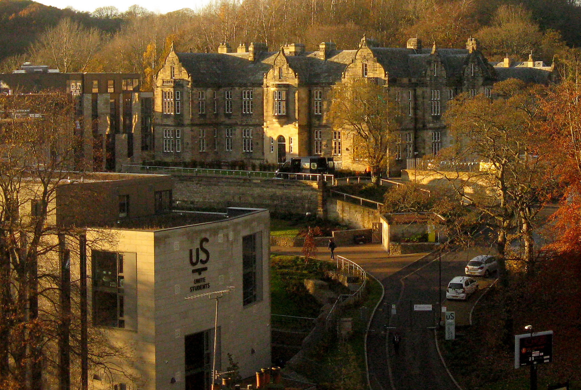
Rushford Court

Rushford Court is a student hall and former hospital in Durham, England. It opened in 1853 as County Hospital, and closed as a hospital in 2010 after services...

St Leonard's Catholic School, Durham

St Leonard's Catholic School is a coeducational Roman Catholic secondary school and sixth form. It is located in Durham, County Durham, England. ��2�...

Related Videos

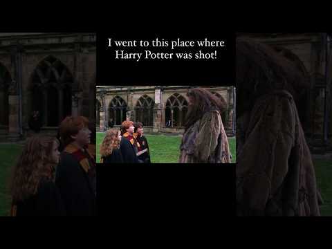
Visiting the place where Harry Potter was shot #shorts #shortsvideo #harrypotter #travel #durham

Durham Cathedral! From the Hogwarts Library to the Hospital Wing and the Philosopher's Stone Chamber, the real-life filming ...

Wet Rainy Walk, Durham City | Binaural Ambient City Sounds 4K

Walking around the historical city of Durham, England on the wet and rainy streets. Captured with the DJI Pocket 2 in 4K with ...

Nearby Amenities

Located within 500m of 54.781239,-1.5972808
Barrier: cattle_grid
Note: Horse gate to side
Lat/Long: 54.7785527/-1.6024926
Turning Circle
Lat/Long: 54.7769928/-1.5956388
Crossing
Button Operated: yes
Crossing: traffic_signals
Tactile Paving: yes
Lat/Long: 54.7771427/-1.5979841
Turning Circle
Lat/Long: 54.7846924/-1.5938273
Turning Circle
Lat/Long: 54.7830663/-1.5948514
Turning Circle
Lat/Long: 54.783332/-1.5935275
Turning Circle
Lat/Long: 54.7771128/-1.5964565
Turning Circle
Lat/Long: 54.7821254/-1.5920912
Post Box
Ref: DH1 39D
Lat/Long: 54.7777148/-1.5979304
Post Box
Collection Times: Mo-Fr 09:00; Sa 07:00
Ref: DH1 39D
Royal Cypher: EIIR
Royal Cypher Wikidata: Q33102113
Lat/Long: 54.7825278/-1.5900586
Crossing
Bicycle: yes
Crossing: unmarked
Tactile Paving: yes
Lat/Long: 54.7795811/-1.5980916
Bus Stop
Fieldhouse Lane
Naptan AtcoCode: 13005020H
Naptan Bearing: NW
Naptan CommonName: Fieldhouse Lane
Naptan Indicator: north west bound
Naptan Landmark: Landmark not known
Naptan NaptanCode: durdgjtg
Naptan Notes: Opposite 22 Fieldhouse Lane- on junction with Springwell Road- North End- Durham
Naptan PlusbusZoneRef: DRHM
Naptan Street: Fieldhouse Lane
Naptan Verified: no
Shelter: no
Source: naptan_import
Lat/Long: 54.7844173/-1.5927288
Bus Stop
Toll House Road
Bench: no
Bin: no
Naptan AtcoCode: 13005024D
Naptan Bearing: SE
Naptan CommonName: Toll House Road
Naptan Indicator: south east bound
Naptan Landmark: Landmark not known
Naptan NaptanCode: durdgjwd
Naptan Notes: 15 - 16 toll house road- Durham
Naptan PlusbusZoneRef: DRHM
Naptan Street: Toll House Road
Naptan Verified: yes
Shelter: no
Source: naptan_import
Tactile Paving: no
Lat/Long: 54.7777167/-1.6003327
Bus Stop
Toll House Road
Bench: no
Bin: no
Naptan AtcoCode: 13005024H
Naptan Bearing: NW
Naptan CommonName: Toll House Road
Naptan Indicator: north west bound
Naptan Landmark: Landmark not known
Naptan NaptanCode: durdgjwg
Naptan Notes: opp 9- toll house road- Durham
Naptan PlusbusZoneRef: DRHM
Naptan Street: Toll House Road
Naptan Verified: yes
Shelter: no
Source: naptan_import
Tactile Paving: no
Lat/Long: 54.7777411/-1.6011446
Bus Stop
Moor Edge
Bench: no
Bin: no
Check Date Shelter: 2022-06-22
Naptan AtcoCode: 13005502F
Naptan Bearing: SW
Naptan BusStopType: MKD
Naptan CommonName: Moor Edge
Naptan Indicator: SW-bound
Naptan NaptanCode: durdmawd
Naptan PlusbusZoneRef: DRHM
Naptan RevisionNumber: 1
Naptan Street: A167
Naptan Verified: yes
Shelter: yes
Source: naptan_import; GPS survey
Lat/Long: 54.7805921/-1.5974956
Bus Stop
Moor Edge
Bench: no
Bin: no
Naptan AtcoCode: 13005502B
Naptan Bearing: NE
Naptan CommonName: Moor Edge
Naptan Indicator: NE-bound
Naptan NaptanCode: durdmawg
Naptan PlusbusZoneRef: DRHM
Naptan RevisionNumber: 1
Naptan Street: A167
Naptan Verified: yes
Shelter: no
Source: naptan_import; GPS survey
Lat/Long: 54.7801574/-1.5980734
Bus Stop
Whitesmocks
Bench: no
Bin: yes
Naptan AtcoCode: 13005503A
Naptan Bearing: N
Naptan BusStopType: MKD
Naptan CommonName: Whitesmocks
Naptan Indicator: N-bound
Naptan NaptanCode: durdmawj
Naptan Notes: On A167 Newcastle Road- 50m south of junction with Whitesmocks- Whitesmocks- Durham
Naptan PlusbusZoneRef: DRHM
Naptan RevisionNumber: 3
Naptan Street: A167
Naptan Verified: no
Old Name: Whitesmocks (A167)
Shelter: yes
Source: naptan_import
Lat/Long: 54.7854006/-1.5965442
Bus Stop
Whitesmocks
Bench: no
Bin: yes
Naptan AtcoCode: 13005503E
Naptan Bearing: S
Naptan BusStopType: MKD
Naptan CommonName: Whitesmocks
Naptan Indicator: S-bound
Naptan NaptanCode: durdmawm
Naptan Notes: Outside Devonia- A167 Newcastle Road- south of Whitesmocks Avenue- Whitesmocks- Durham
Naptan PlusbusZoneRef: DRHM
Naptan RevisionNumber: 3
Naptan Street: A167
Naptan Verified: no
Old Name: Whitesmocks (A167)
Shelter: yes
Source: naptan_import
Lat/Long: 54.7842754/-1.5959956
Bus Stop
Johnston School Bus Park
Naptan AtcoCode: 13005505A
Naptan Bearing: N
Naptan CommonName: Johnston School Bus Park
Naptan Indicator: north bound
Naptan Landmark: Landmark not known
Naptan NaptanCode: durdmdad
Naptan Notes: johnston comprehensive school- redhills lane- Durham
Naptan PlusbusZoneRef: DRHM
Naptan Street: Red Hills Lane
Naptan Verified: no
Source: naptan_import
Lat/Long: 54.7786217/-1.5976199
Waste Basket
Check Date: 2023-01-07
Lat/Long: 54.7824514/-1.5898626
Waste Basket
Lat/Long: 54.7838828/-1.5922884
Grit Bin
Operator: Durham County Council
Operator Type: government
Operator Wikidata: Q5316492
Ref: DU 214
Lat/Long: 54.7850807/-1.5932526
Bench
Lat/Long: 54.7806178/-1.5974648
Historic: milestone
Lat/Long: 54.7837138/-1.5921527
Grit Bin
Operator: Durham County Council
Operator Type: government
Operator Wikidata: Q5316492
Ref: DU001
Lat/Long: 54.7826672/-1.5900459
Traffic Signals
Traffic Signals Direction: forward
Lat/Long: 54.7769923/-1.5977685
Traffic Signals
Traffic Signals Direction: backward
Lat/Long: 54.7773759/-1.5979361
Crossing
Button Operated: yes
Crossing: traffic_signals
Tactile Paving: yes
Lat/Long: 54.777243/-1.5980559
Ford: yes
Lat/Long: 54.7799614/-1.594616
Ford: yes
Lat/Long: 54.7788116/-1.5931038
Addr City: Durham
Addr Housenumber: 47
Addr Postcode: DH1 4LT
Addr Street: Fieldhouse Lane
Source Postcode: Land Registry Price Paid Data
Lat/Long: 54.7825159/-1.5901785
Addr City: Durham
Addr Housenumber: 46
Addr Postcode: DH1 4LT
Addr Street: Fieldhouse Lane
Source Postcode: Land Registry Price Paid Data
Lat/Long: 54.7825685/-1.5902831
Addr City: Durham
Addr Housename: Wyncroft
Addr Housenumber: 39
Addr Postcode: DH1 4LT
Addr Street: Fieldhouse Lane
Source Postcode: Land Registry Price Paid Data
Lat/Long: 54.7830069/-1.591077
Waste Basket
Lat/Long: 54.7775434/-1.5981346
Whitesmocks
Place: quarter
Lat/Long: 54.7853183/-1.5968555
Arbour House Farm
Place: farm
Source Name: OS OpenData StreetView
Lat/Long: 54.779798/-1.604535
Generator Method: thermal
Generator Orientation: 195
Generator Solar Modules: 1
Generator Source: solar
Generator Type: solar_thermal_collector
Location: roof
Power: generator
Lat/Long: 54.7801465/-1.5989989
Generator Method: photovoltaic
Generator Orientation: 180
Generator Solar Modules: 2
Generator Source: solar
Generator Type: solar_photovoltaic_panel
Location: roof
Power: generator
Lat/Long: 54.7801828/-1.5990807
Bench
Lat/Long: 54.7844817/-1.5963797
Addr City: Durham
Addr Housenumber: 3
Addr Postcode: DH1 4HW
Addr Street: Whitesmocks
Survey Date: 2019-07-04
Lat/Long: 54.7843438/-1.5965444
Addr City: Durham
Addr Housenumber: 4
Addr Postcode: DH1 4HW
Addr Street: Whitesmocks
Survey Date: 2019-07-04
Lat/Long: 54.7844104/-1.596565
Addr City: Durham
Addr Housenumber: 19
Addr Postcode: DH1 4HP
Addr Street: Whitesmocks Avenue
Survey Date: 2019-07-04
Lat/Long: 54.7843101/-1.5982977
Addr City: Durham
Addr Housenumber: 18 Longstone
Addr Postcode: DH1 4HP
Addr Street: Whitesmocks Avenue
Survey Date: 2019-07-04
Lat/Long: 54.7845869/-1.5983431
Addr City: Durham
Addr Housenumber: 16 Sheldon
Addr Postcode: DH1 4HP
Addr Street: Whitesmocks Avenue
Survey Date: 2019-07-04
Lat/Long: 54.7845898/-1.598218
Addr City: Durham
Addr Housenumber: 17
Addr Postcode: DH1 4HP
Addr Street: Whitesmocks Avenue
Survey Date: 2019-07-04
Lat/Long: 54.7842954/-1.598126
Addr City: Durham
Addr Housenumber: 14
Addr Postcode: DH1 4HP
Addr Street: Whitesmocks Avenue
Survey Date: 2019-07-04
Lat/Long: 54.7845848/-1.5980679
Addr City: Durham
Addr Housenumber: 15
Addr Postcode: DH1 4HP
Addr Street: Whitesmocks Avenue
Survey Date: 2019-07-04
Lat/Long: 54.7843009/-1.5979297
Addr City: Durham
Addr Housenumber: 12
Addr Postcode: DH1 4HP
Addr Street: Whitesmocks Avenue
Survey Date: 2019-07-04
Lat/Long: 54.7845818/-1.5979048
Addr City: Durham
Addr Housenumber: 13
Addr Postcode: DH1 4HP
Addr Street: Whitesmocks Avenue
Survey Date: 2019-07-04
Lat/Long: 54.7843037/-1.5978018
Addr City: Durham
Addr Housenumber: 11
Addr Postcode: DH1 4HP
Addr Street: Whitesmocks Avenue
Note: House number assumed, none displayed
Survey Date: 2019-07-04
Lat/Long: 54.7843211/-1.5976441
Addr City: Durham
Addr Housenumber: 10
Addr Postcode: DH1 4HP
Addr Street: Whitesmocks Avenue
Survey Date: 2019-07-04
Lat/Long: 54.7845899/-1.5977596
Addr City: Durham
Addr Housenumber: 9
Addr Postcode: DH1 4HP
Addr Street: Whitesmocks Avenue
Note: House number assumed, none displayed
Survey Date: 2019-07-04
Lat/Long: 54.7843189/-1.5975062
Addr City: Durham
Addr Housenumber: 7
Addr Postcode: DH1 4HP
Addr Street: Whitesmocks Avenue
Survey Date: 2019-07-04
Lat/Long: 54.784331/-1.5973544
Addr City: Durham
Addr Housenumber: 5
Addr Postcode: DH1 4HP
Addr Street: Whitesmocks Avenue
Survey Date: 2019-07-04
Lat/Long: 54.7843404/-1.59722
Addr City: Durham
Addr Housenumber: 6
Addr Postcode: DH1 4HP
Addr Street: Whitesmocks Avenue
Survey Date: 2019-07-04
Lat/Long: 54.784624/-1.5971409
Addr City: Durham
Addr Housenumber: 3
Addr Postcode: DH1 4HP
Addr Street: Whitesmocks Avenue
Survey Date: 2019-07-04
Lat/Long: 54.7843457/-1.5970738
Addr City: Durham
Addr Housenumber: 4
Addr Postcode: DH1 4HP
Addr Street: Whitesmocks Avenue
Survey Date: 2019-07-04
Lat/Long: 54.7846395/-1.5970584
Addr City: Durham
Addr Housenumber: 1
Addr Postcode: DH1 4HP
Addr Street: Whitesmocks Avenue
Survey Date: 2019-07-04
Lat/Long: 54.7843515/-1.5969382
Addr City: Durham
Addr Housenumber: 2
Addr Postcode: DH1 4HP
Addr Street: Whitesmocks Avenue
Survey Date: 2019-07-04
Lat/Long: 54.7846623/-1.5969562
Addr City: Durham
Addr Housenumber: 5
Addr Postcode: DH1 4HW
Addr Street: Whitesmocks
Survey Date: 2019-07-04
Lat/Long: 54.7846454/-1.5966197
Addr City: Durham
Addr Housenumber: 6
Addr Postcode: DH1 4HW
Addr Street: Whitesmocks
Survey Date: 2019-07-04
Lat/Long: 54.7847105/-1.5966248
Addr City: Durham
Addr Housenumber: 17
Addr Postcode: DH1 4LT
Addr Street: Fieldhouse Lane
Note: House number assumed, none displayed
Survey Date: 2019-07-04
Lat/Long: 54.7839363/-1.5920706
Addr City: Durham
Addr Housenumber: 15
Addr Postcode: DH1 4LT
Addr Street: Fieldhouse Lane
Survey Date: 2019-07-04
Lat/Long: 54.783772/-1.5919025
Addr City: Durham
Addr Housenumber: 14
Addr Postcode: DH1 4LT
Addr Street: Fieldhouse Lane
Survey Date: 2019-07-04
Lat/Long: 54.7837208/-1.5918092
Addr City: Durham
Addr Housenumber: 11a
Addr Postcode: DH1 4LT
Addr Street: Fieldhouse Lane
Survey Date: 2019-07-04
Lat/Long: 54.7835216/-1.591449
Addr City: Durham
Addr Housenumber: 11
Addr Postcode: DH1 4LT
Addr Street: Fieldhouse Lane
Survey Date: 2019-07-04
Lat/Long: 54.7834882/-1.5913562
Addr City: Durham
Addr Housenumber: 6a
Addr Postcode: DH1 4LT
Addr Street: Fieldhouse Lane
Survey Date: 2019-07-04
Lat/Long: 54.7832015/-1.5908277
Addr City: Durham
Addr Housenumber: 6
Addr Postcode: DH1 4LT
Addr Street: Fieldhouse Lane
Survey Date: 2019-07-04
Lat/Long: 54.7831552/-1.5907385
Addr City: Durham
Addr Housenumber: 2
Addr Postcode: DH1 4LT
Addr Street: Fieldhouse Lane
Survey Date: 2019-07-04
Lat/Long: 54.7828162/-1.5901476
Addr City: Durham
Addr Housenumber: 2a
Addr Postcode: DH1 4LT
Addr Street: Fieldhouse Lane
Survey Date: 2019-07-04
Lat/Long: 54.7827843/-1.5900865
Generator Method: photovoltaic
Generator Orientation: 220
Generator Solar Modules: 3
Generator Source: solar
Generator Type: solar_photovoltaic_panel
Location: roof
Power: generator
Lat/Long: 54.7830031/-1.5927641
Generator Method: photovoltaic
Generator Orientation: 130
Generator Solar Modules: 13
Generator Source: solar
Generator Type: solar_photovoltaic_panel
Location: roof
Power: generator
Lat/Long: 54.7830239/-1.5927038
Generator Method: photovoltaic
Generator Orientation: 182
Generator Solar Modules: unknown
Generator Source: solar
Generator Type: solar_photovoltaic_panel
Location: roof
Power: generator
Lat/Long: 54.7769756/-1.5962349
Generator Method: photovoltaic
Generator Orientation: 182
Generator Output Electricity: yes
Generator Solar Modules: unknown
Generator Source: solar
Generator Type: solar_photovoltaic_panel
Location: roof
Power: generator
Lat/Long: 54.7769915/-1.5967049
Generator Method: photovoltaic
Generator Orientation: 190
Generator Output Electricity: yes
Generator Solar Modules: 4
Generator Source: solar
Generator Type: solar_photovoltaic_panel
Location: roof
Power: generator
Lat/Long: 54.7803715/-1.5942796
Generator Method: photovoltaic
Generator Orientation: 145
Generator Output Electricity: yes
Generator Solar Modules: 14
Generator Source: solar
Generator Type: solar_photovoltaic_panel
Location: roof
Power: generator
Lat/Long: 54.7803773/-1.594187
Crossing
Crossing: unmarked
Crossing Island: yes
Tactile Paving: yes
Lat/Long: 54.7787964/-1.5984638
Crossing
Crossing Island: yes
Tactile Paving: yes
Lat/Long: 54.7803967/-1.5977651
Traffic Calming: cushion
Lat/Long: 54.7829103/-1.5906385
Traffic Calming: hump
Lat/Long: 54.7776306/-1.5957453
Traffic Calming: hump
Lat/Long: 54.7773694/-1.594407
Grit Bin
Operator: Durham County Council
Operator Type: government
Operator Wikidata: Q5316492
Ref: DU226
Lat/Long: 54.7776795/-1.5957078
Grit Bin
Operator: Durham County Council
Operator Type: government
Operator Wikidata: Q5316492
Ref: DU 215
Lat/Long: 54.7837857/-1.5910582
Disused Marker: post
Note: Marker defaced / removed (as of Nov 2020)
Orienteering: marker
Ref: 30
Sport: orienteering
Lat/Long: 54.7804477/-1.59217
North End Allotments
Board Type: notice
Information: board
Tourism: information
Lat/Long: 54.7817989/-1.5909181
Grit Bin
Operator: Durham County Council
Operator Type: government
Operator Wikidata: Q5316492
Ref: DU218
Lat/Long: 54.781911/-1.590794
The Battle
Board Type: history
Information: board
Layer: 1
Tourism: information
Lat/Long: 54.7782078/-1.5983914
Grit Bin
Operator: Durham County Council
Operator Type: government
Operator Wikidata: Q5316492
Ref: DU216
Lat/Long: 54.7836202/-1.5943721
Addr City: Durham
Addr Housenumber: 36
Addr Postcode: DH1 4LR
Addr Street: Springwell Road
Lat/Long: 54.7848734/-1.5958554
North End
Power: substation
Lat/Long: 54.783986/-1.5931718
Grit Bin
Operator: Durham County Council
Operator Type: government
Operator Wikidata: Q5316492
Ref: DU217
Lat/Long: 54.7825777/-1.5913466
Addr City: Durham
Addr Housename: Newstead
Addr Housenumber: 38
Addr Postcode: DH1 4LT
Addr Street: Fieldhouse Lane
Lat/Long: 54.783041/-1.5911642
Power: pole
Lat/Long: 54.7780555/-1.6022339
Power: pole
Lat/Long: 54.777927/-1.6023785
Power: pole
Lat/Long: 54.7793231/-1.6041809
Power: pole
Lat/Long: 54.7787941/-1.6029941
Power: pole
Lat/Long: 54.778489/-1.6023081
Communication Mobile Phone: yes
Man Made: mast
Operator: O2
Tower Construction: freestanding
Tower Type: communication
Lat/Long: 54.7822188/-1.5965179
Communication Mobile Phone: yes
Man Made: mast
Operator: Orange
Tower Construction: freestanding
Tower Type: communication
Lat/Long: 54.7820611/-1.5966949
Crossing
Crossing: uncontrolled
Crossing Ref: zebra
Lat/Long: 54.7794426/-1.5978986
Crossing
Crossing: uncontrolled
Crossing Ref: zebra
Lat/Long: 54.7793062/-1.5972183
Generator Method: photovoltaic
Generator Output Electricity: yes
Generator Source: solar
Generator Type: solar_photovoltaic_panel
Location: roof
Power: generator
Lat/Long: 54.7778884/-1.6009663
Generator Method: photovoltaic
Generator Output Electricity: yes
Generator Source: solar
Generator Type: solar_photovoltaic_panel
Location: roof
Power: generator
Lat/Long: 54.7779789/-1.6016409
Traffic Signals
Crossing: no
Traffic Signals Direction: forward
Lat/Long: 54.7772358/-1.5980929
Crossgate Moor
Place: suburb
Lat/Long: 54.7775364/-1.5977865
Bench
Backrest: yes
Lat/Long: 54.777509/-1.5978134
Traffic Calming: hump
Lat/Long: 54.7776013/-1.5972836
The data included in this document is from www.openstreetmap.org. The data is made available under ODbL.

Have you been to Aykley Heads?

Leave your review of Aykley Heads below (or comments, questions and feedback).