End, North

Settlement in Durham

England

End, North

Durham Cathedral, 1936 Taken by my grandfather, George W Baker. His son/my father took a similar photo two years later of <a href="https://www.geograph.org.uk/photo/2161815">NZ2742 : Durham Cathedral in 1938</a>.
Durham Cathedral, 1936 Credit: George W Baker

End, North, Durham is a small rural village located in the county of Durham, England. Situated in the northern part of the county, it is surrounded by picturesque countryside and offers a tranquil escape from the bustling urban areas. With a population of around 500 residents, the village exudes a close-knit community atmosphere.

The village is characterized by its charming architecture, with many buildings dating back to the 19th century. The local church, St. Mary's, is a prominent feature, boasting a beautiful steeple that can be seen from miles around. The village also has a primary school, providing education for the local children.

End, North, Durham benefits from its rural location, offering residents and visitors a range of outdoor activities. The surrounding countryside is perfect for hiking, cycling, and exploring nature trails. The village is also close to the renowned Durham Dales, providing opportunities for scenic walks and stunning views.

Facilities in the village are limited but sufficient for the needs of the community. There is a small convenience store that caters to daily essentials, and a quaint village pub where locals gather for a drink and a chat. For more extensive amenities, residents often travel to nearby towns such as Durham or Bishop Auckland.

Overall, End, North, Durham is a peaceful and idyllic village, offering a quiet and rural lifestyle to its residents. With its beautiful surroundings and strong sense of community, it remains an attractive place for those seeking a slower pace of life amidst the natural beauty of the English countryside.

If you have any feedback on the listing, please let us know in the comments section below.
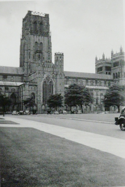
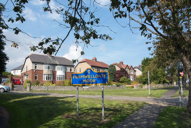
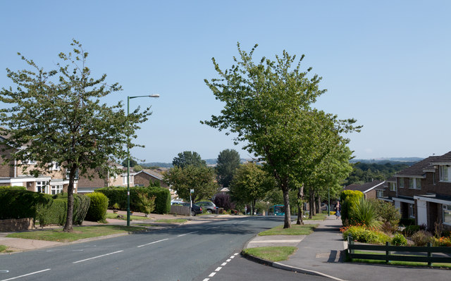
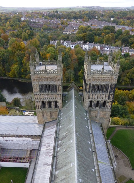
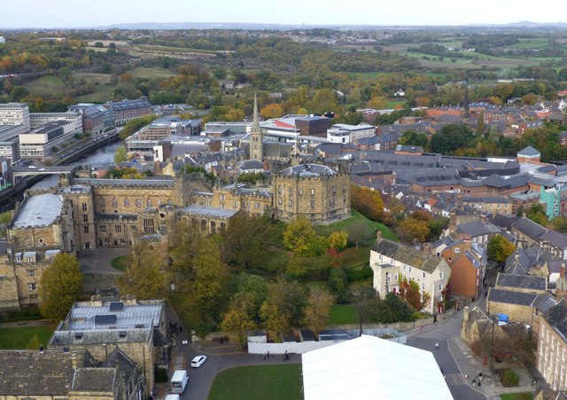
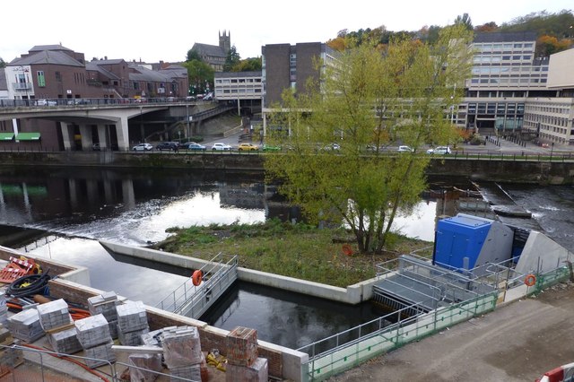
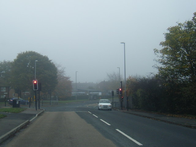
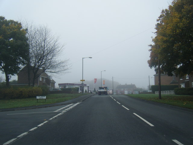
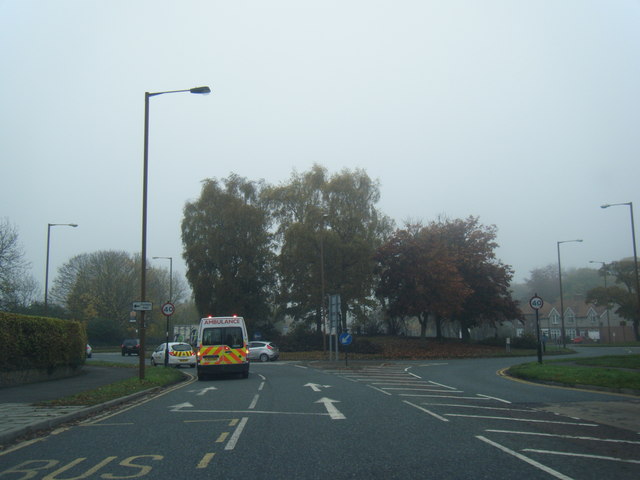
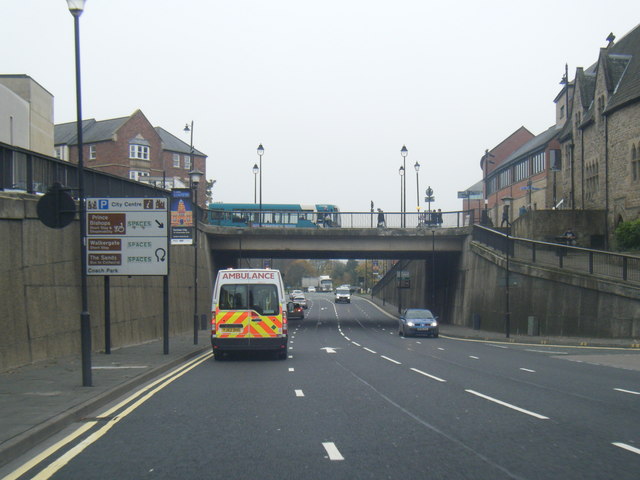
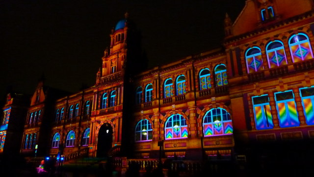
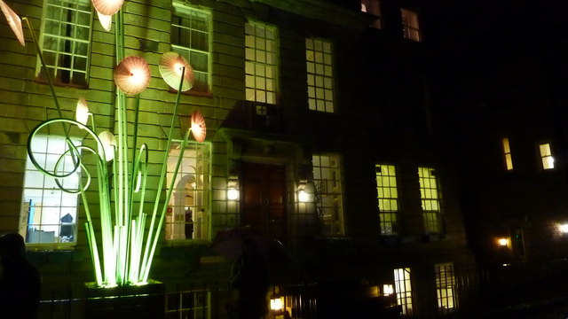
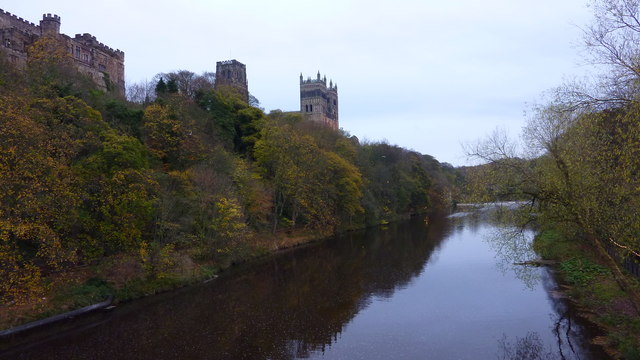
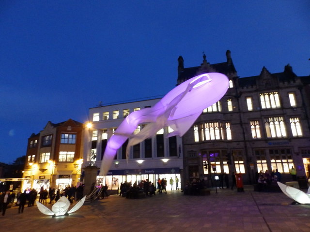
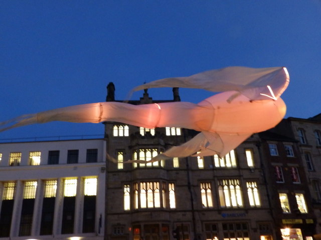
End, North Images

Images are sourced within 2km of 54.78483/-1.591014 or Grid Reference NZ2643. Thanks to Geograph Open Source API. All images are credited.

Durham Cathedral, 1936 Taken by my grandfather, George W Baker. His son/my father took a similar photo two years later of <a href="https://www.geograph.org.uk/photo/2161815">NZ2742 : Durham Cathedral in 1938</a>.
Durham Cathedral, 1936
Taken by my grandfather, George W Baker. His son/my father took a similar photo two years later of NZ2742 : Durham Cathedral in 1938.
Semi-detached houses in Framwellgate Moor Framwellgate Moor is an area of Durham city, north of the centre. The houses are on Durham Moor Crescent. The blue and yellow sign is in a style in use in County Durham for some time.
Semi-detached houses in Framwellgate Moor
Framwellgate Moor is an area of Durham city, north of the centre. The houses are on Durham Moor Crescent. The blue and yellow sign is in a style in use in County Durham for some time.
Canterbury Road heading east Canterbury Road is one of the main roads to pass through the large residential area of Newton Hall which is on the north side of Durham City.
Canterbury Road heading east
Canterbury Road is one of the main roads to pass through the large residential area of Newton Hall which is on the north side of Durham City.
The Western Towers of Durham Cathedral Viewed from the top of the Central Tower.
The Cathedral’s original western towers were small, and were later incorporated into the larger, current structures when these were built around 1200.
The Cathedral’s towers were especially important in Durham, where the building stands surrounded by rising land, and would otherwise be hidden from view.
The Western Towers of Durham Cathedral
Viewed from the top of the Central Tower. The Cathedral’s original western towers were small, and were later incorporated into the larger, current structures when these were built around 1200. The Cathedral’s towers were especially important in Durham, where the building stands surrounded by rising land, and would otherwise be hidden from view.
Durham Castle Viewed from the top of the Central Tower of Durham Cathedral.
Durham Castle
Viewed from the top of the Central Tower of Durham Cathedral.
Archimedean screw  An Archimedean screw harvesting energy from the River Wear to drive a 100kw generator capable of supplying 75% of the total energy requirement of the new Freeman’s Reach development in Durham City.
Energy had previously been extracted for more than 800 years to drive the medieval Bishop’s Mill near the site.
<span class="nowrap"><a title="http://www.thejournal.co.uk/news/20-tonne-water-power-installation-7199432" rel="nofollow ugc noopener" href="http://www.thejournal.co.uk/news/20-tonne-water-power-installation-7199432">Link</a><img style="margin-left:2px;" alt="External link" title="External link - shift click to open in new window" src="https://s1.geograph.org.uk/img/external.png" width="10" height="10"/></span>
Archimedean screw
An Archimedean screw harvesting energy from the River Wear to drive a 100kw generator capable of supplying 75% of the total energy requirement of the new Freeman’s Reach development in Durham City. Energy had previously been extracted for more than 800 years to drive the medieval Bishop’s Mill near the site. LinkExternal link
Durham Cathedral door knocker (1965)
Pit Lane/Bek Road junction
Finchale Road at Lilac Avenue
B6532 near County Hall
A690 Leazes Road, Durham
Durham Cathedral-Lumiere 2015 Amazing view of the Cathedral during Lumiere 2015
Durham Cathedral-Lumiere 2015
Amazing view of the Cathedral during Lumiere 2015
Durham Cathedral during Lumiere 2015 Wonderful illuminations on the Cathedral
Durham Cathedral during Lumiere 2015
Wonderful illuminations on the Cathedral
Old Shire Hall, Durham The building is being lit as part of the Durham Lumiere Light Festival 2015
Old Shire Hall, Durham
The building is being lit as part of the Durham Lumiere Light Festival 2015
St. John's College, Durham Lumiere 2015
River Wear & Durham Cathedral From Framwellgate Bridge
River Wear & Durham Cathedral
From Framwellgate Bridge
Les Luminéoles, Durham Lumiere 2015 Flying in the Market Place
Les Luminéoles, Durham Lumiere 2015
Flying in the Market Place
Les Luminéoles, Durham Lumiere 2015
Show me another place!

End, North is located at Grid Ref: NZ2643 (Lat: 54.78483, Lng: -1.591014)

Unitary Authority: County Durham

Police Authority: Durham

What 3 Words

///melt.export.ranges. Near Durham, Co. Durham

Related Wikis

St Leonard's Catholic School, Durham

St Leonard's Catholic School is a coeducational Roman Catholic secondary school and sixth form. It is located in Durham, County Durham, England. ��2�...
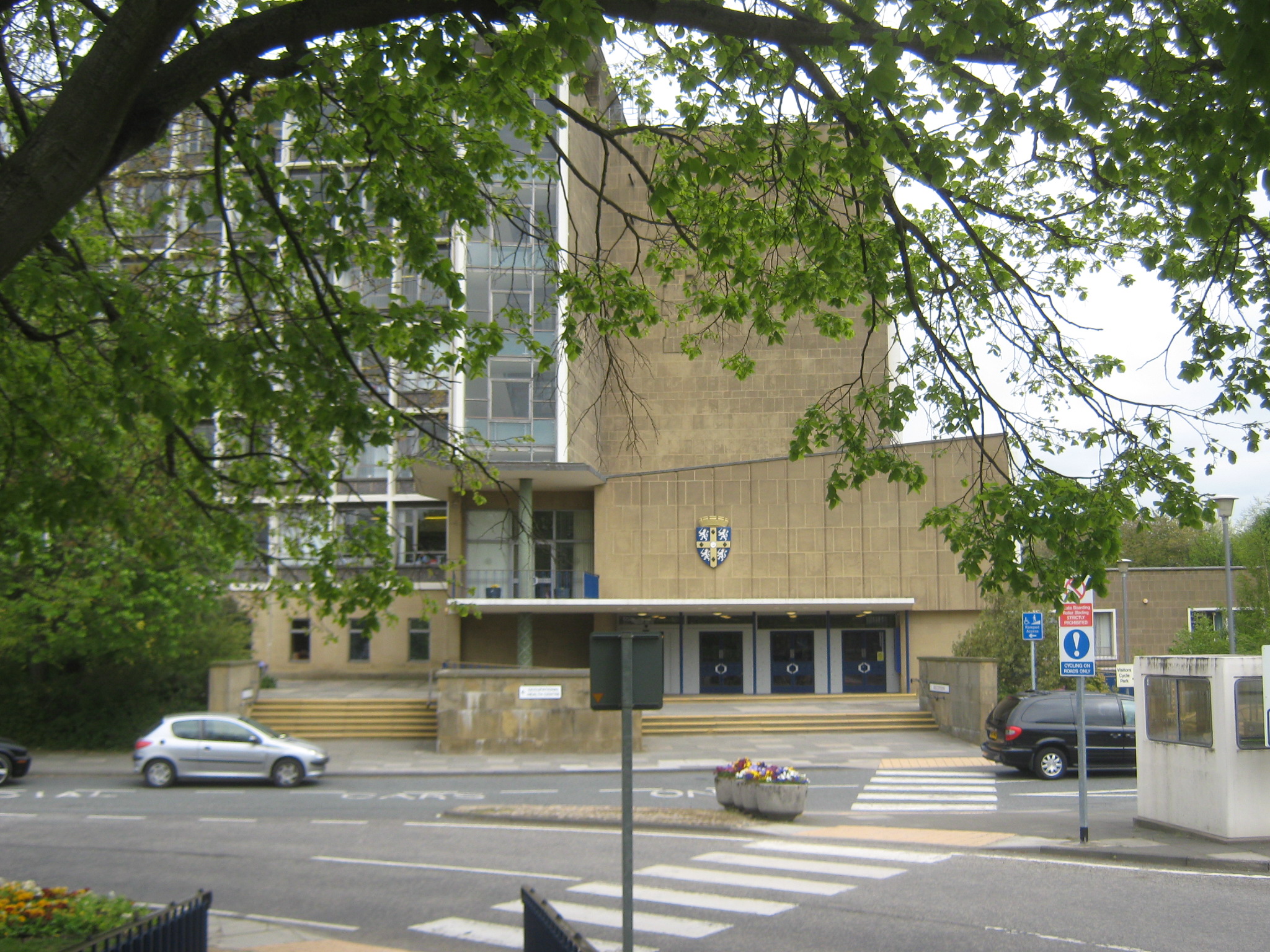
County Hall, Durham

County Hall is a municipal building at Aykley Heads in Durham, County Durham, England. It is the headquarters of Durham County Council. == History == In...

University Hospital of North Durham

University Hospital of North Durham is an acute care hospital built to replace the older Dryburn Hospital on the same site. It is managed by the County...

Durham Johnston Comprehensive School

Durham Johnston Comprehensive School is a secondary school in Durham, England. == Introduction == Durham Johnston is a 1700-place 11–18 school serving...

Nearby Amenities

Located within 500m of 54.78483,-1.591014
Crossing
Crossing: traffic_signals
Crossing Island: yes
Lat/Long: 54.7855971/-1.5874314
Aykley Heads Business Park
Created By: Potlatch 0.9c
Landuse: commercial
Lat/Long: 54.7890982/-1.5894818
Crossing
Crossing: unmarked
Crossing Island: yes
Lat/Long: 54.7857597/-1.5909384
Turning Circle
Lat/Long: 54.7871314/-1.5946576
Turning Circle
Lat/Long: 54.7846924/-1.5938273
Turning Circle
Lat/Long: 54.783923/-1.5902737
Turning Circle
Lat/Long: 54.7830663/-1.5948514
Turning Circle
Lat/Long: 54.783332/-1.5935275
Turning Circle
Lat/Long: 54.7821254/-1.5920912
Post Box
Collection Times: Mo-Fr 09:00; Sa 07:00
Ref: DH1 39D
Royal Cypher: EIIR
Royal Cypher Wikidata: Q33102113
Lat/Long: 54.7825278/-1.5900586
Barrier: entrance
Motorcar: yes
Lat/Long: 54.7825664/-1.5845446
Obelisk
Historic: monument
Wikidata: Q26414573
Lat/Long: 54.7813831/-1.5860375
Traffic Signals
Bicycle: yes
Button Operated: yes
Crossing: traffic_signals
Crossing Island: yes
Kerb: lowered
Tactile Paving: yes
Lat/Long: 54.7835758/-1.585481
Traffic Signals
Bicycle: yes
Button Operated: yes
Crossing: traffic_signals
Crossing Island: yes
Kerb: lowered
Tactile Paving: yes
Traffic Signals Sound: no
Traffic Signals Vibration: yes
Lat/Long: 54.783693/-1.5853624
Barrier: lift_gate
Lat/Long: 54.7859626/-1.5863929
Post Box
Ref: DH1 184
Lat/Long: 54.786189/-1.5961384
Post Box
Collection Times: Mo-Fr 09:00; Sa 07:00
Drive Through: no
Operator: Royal Mail
Operator Wikidata: Q638098
Post Box Type: wall
Ref: DH1 190D
Royal Cypher: GR
Royal Cypher Wikidata: Q33102273
Lat/Long: 54.7839717/-1.5862515
Crossing
Crossing: unmarked
Crossing Island: no
Kerb: lowered
Tactile Paving: yes
Lat/Long: 54.7844246/-1.586759
Turning Circle
Lat/Long: 54.7843328/-1.5865143
Leisure: playground
Lat/Long: 54.7871759/-1.5906237
Bicycle Parking
Bicycle Parking: stands
Capacity: 20
Covered: yes
Lat/Long: 54.7869015/-1.5903384
Bicycle Parking
Capacity: 4
Lat/Long: 54.7883603/-1.5935731
Bicycle Parking
Bicycle Parking: stands
Capacity: 20
Covered: no
Lat/Long: 54.7881626/-1.5928655
Barrier: lift_gate
Foot: yes
Lat/Long: 54.788863/-1.592598
Barrier: lift_gate
Motorcar: yes
Motorcycle: yes
Lat/Long: 54.7875237/-1.5936458
Barrier: lift_gate
Motorcar: yes
Motorcycle: yes
Lat/Long: 54.7881518/-1.5932726
Barrier: lift_gate
Lat/Long: 54.7884481/-1.5945043
Mini Roundabout
Direction: clockwise
Lat/Long: 54.7866341/-1.5934796
Crossing
Crossing: uncontrolled
Crossing Ref: zebra
Lat/Long: 54.7880978/-1.5926196
Post Box
Ref: DH1 467
Lat/Long: 54.7885308/-1.5931939
Bus Stop
Bus: yes
Departures Board: timetable
Public Transport: platform
Shelter: yes
Lat/Long: 54.787715/-1.5897253
Crossing
Crossing: traffic_signals
Crossing Island: no
Crossing Ref: puffin
Lat/Long: 54.7888696/-1.5904975
Entrance: yes
Lat/Long: 54.7885254/-1.593271
Parking
20 min A&E parking
Capacity: 6
Parking: surface
Lat/Long: 54.7890512/-1.5918408
Bus Stop
St Leonards School
Bench: yes
Lit: yes
Naptan AtcoCode: 13005003A
Naptan Bearing: N
Naptan CommonName: St Leonards School
Naptan Indicator: north bound
Naptan Landmark: Bus shelter outside school entrance
Naptan NaptanCode: durdgjdp
Naptan PlusbusZoneRef: DRHM
Naptan Street: North Road
Naptan Verified: no
Shelter: yes
Source: naptan_import
Lat/Long: 54.7836843/-1.5860154
Bus Stop
St Leonards School
Bench: no
Bin: no
Check Date Shelter: 2023-01-07
Lit: yes
Naptan AtcoCode: 13005003E
Naptan Bearing: S
Naptan CommonName: St Leonards School
Naptan Indicator: south bound
Naptan Landmark: Bus stop at rear of Garden House pub
Naptan NaptanCode: durdgjdt
Naptan Notes: Between 1 North Road and Garden House pub- North End- Durham
Naptan PlusbusZoneRef: DRHM
Naptan Street: North Road
Seats: no
Shelter: no
Source: naptan_import
Tactile Paving: no
Lat/Long: 54.7828182/-1.5858546
Bus Stop
North End-The Crescent
Bench: no
Bin: no
Check Date Shelter: 2023-01-07
Lit: yes
Naptan AtcoCode: 13005018F
Naptan Bearing: SW
Naptan CommonName: North End-The Crescent
Naptan Indicator: south west bound
Naptan Landmark: Landmark not known
Naptan NaptanCode: durdgjta
Naptan Notes: 10m North of number 1 South Crescent- North End- Durham
Naptan PlusbusZoneRef: DRHM
Naptan Street: Street not known
Naptan Verified: no
Shelter: no
Source: naptan_import
Tactile Paving: no
Lat/Long: 54.7842093/-1.5870242
Bus Stop
Fieldhouse Lane
Naptan AtcoCode: 13005020H
Naptan Bearing: NW
Naptan CommonName: Fieldhouse Lane
Naptan Indicator: north west bound
Naptan Landmark: Landmark not known
Naptan NaptanCode: durdgjtg
Naptan Notes: Opposite 22 Fieldhouse Lane- on junction with Springwell Road- North End- Durham
Naptan PlusbusZoneRef: DRHM
Naptan Street: Fieldhouse Lane
Naptan Verified: no
Shelter: no
Source: naptan_import
Lat/Long: 54.7844173/-1.5927288
Whitesmocks (Grey Lodge)
Disused Highway: bus_stop
Naptan AtcoCode: 13005023D
Naptan Bearing: SE
Naptan CommonName: Whitesmocks (Grey Lodge)
Naptan Indicator: south east bound
Naptan Landmark: Landmark not known
Naptan NaptanCode: durdgjtw
Naptan Notes: Opposite Crossways on Whitesmocks- SE of Western Lodge- Whitesmocks- Durham
Naptan PlusbusZoneRef: DRHM
Naptan Street: Whitesmocks
Note: Clearly disused on survey in Aug 2020
Source: naptan_import
Lat/Long: 54.785983/-1.5955601
Bus Stop
Whitesmocks (Grey Lodge)
Naptan AtcoCode: 13005023H
Naptan Bearing: NW
Naptan CommonName: Whitesmocks (Grey Lodge)
Naptan Indicator: north west bound
Naptan Landmark: Landmark not known
Naptan NaptanCode: durdgjwa
Naptan Notes: Opposite Western Lodge- Whitesmocks- just SE of junction with A167 Newcastle Road- Whitesmock
Naptan PlusbusZoneRef: DRHM
Naptan Street: Whitesmocks
Naptan Verified: no
Source: naptan_import
Lat/Long: 54.7860977/-1.5961755
Bus Stop
Aykley Heads (for University Hospital)
Bench: yes
Bin: yes
Bus: yes
Departures Board: realtime;timetable
Lit: yes
Naptan AtcoCode: 13005288A
Naptan Bearing: N
Naptan CommonName: Aykley Heads (for University Hospital)
Naptan Indicator: north bound
Naptan Landmark: Landmark not known
Naptan NaptanCode: durdjmtw
Naptan Notes: 45m south of roundabout- B6532 Dryburn Road- North End- Durham
Naptan PlusbusZoneRef: DRHM
Naptan Street: B6532
Naptan Verified: no
Public Transport: platform
Shelter: yes
Source: naptan_import
Lat/Long: 54.7891646/-1.5907527
Bus Stop
Aykley Heads (for University Hospital)
Bench: yes
Bus: yes
Lit: yes
Naptan AtcoCode: 13005288E
Naptan Bearing: S
Naptan CommonName: Aykley Heads (for University Hospital)
Naptan Indicator: south bound
Naptan Landmark: Landmark not known
Naptan NaptanCode: durdjmwa
Naptan Notes: 90m south of roundabout- in front of Dryburn Hospital- B6532 Dryburn Road- North End- Durham
Naptan PlusbusZoneRef: DRHM
Naptan Street: B6532
Naptan Verified: no
Public Transport: platform
Shelter: yes
Source: naptan_import
Lat/Long: 54.7887676/-1.5902591
Bus Stop
Dryburn Hospital - old entrance
Bus: yes
Naptan AtcoCode: 13005289D
Naptan Bearing: SE
Naptan CommonName: Dryburn Hospital - old entrance
Naptan Indicator: south east bound
Naptan Landmark: Landmark not known
Naptan NaptanCode: durdjmwd
Naptan Notes: 30m SE of the main Dryburn Hospital entrance- B6532 Dryburn Road- North End- Durham
Naptan PlusbusZoneRef: DRHM
Naptan Street: B6532
Naptan Verified: no
Public Transport: platform
Shelter: yes
Source: naptan_import
Lat/Long: 54.7869201/-1.5887227
Bus Stop
Dryburn Hospital - old entrance
Naptan AtcoCode: 13005289H
Naptan Bearing: NW
Naptan CommonName: Dryburn Hospital - old entrance
Naptan Indicator: north west bound
Naptan Landmark: Landmark not known
Naptan NaptanCode: durdjmwg
Naptan Notes: North of old hospital exit road- and a few metres SE of the main Dryburn Hospital entrance- B65
Naptan PlusbusZoneRef: DRHM
Naptan Street: B6532
Naptan Verified: no
Source: naptan_import
Lat/Long: 54.7870831/-1.5891098
Bus Stop
County Hall
Bench: yes
Bin: yes
Bus: yes
Departures Board: timetable; realtime
Lit: yes
Naptan AtcoCode: 13005290D
Naptan Bearing: SE
Naptan CommonName: County Hall
Naptan Indicator: south east bound
Naptan Landmark: Outside County Hall
Naptan NaptanCode: durdjmwj
Naptan Notes: OSGR improved - landmark added
Naptan PlusbusZoneRef: DRHM
Naptan Street: B6532
Naptan Verified: no
Public Transport: platform
Shelter: yes
Source: naptan_import
Lat/Long: 54.7854767/-1.5871046
Bus Stop
County Hall
Bench: no
Bin: yes
Bus: yes
Departures Board: timetable; realtime
Naptan AtcoCode: 13005290H
Naptan Bearing: NW
Naptan CommonName: County Hall
Naptan Indicator: north west bound
Naptan Landmark: Opposite County Hall
Naptan NaptanCode: durdjmwm
Naptan Notes: In front of County Hall on B6532 Dryburn Road- opposite entrance that is just north of the roun
Naptan PlusbusZoneRef: DRHM
Naptan Street: B6532
Naptan Verified: no
Public Transport: platform
Shelter: yes
Source: naptan_import
Lat/Long: 54.7858388/-1.5878784
Bus Stop
Whitesmocks
Bench: no
Bin: yes
Naptan AtcoCode: 13005503A
Naptan Bearing: N
Naptan BusStopType: MKD
Naptan CommonName: Whitesmocks
Naptan Indicator: N-bound
Naptan NaptanCode: durdmawj
Naptan Notes: On A167 Newcastle Road- 50m south of junction with Whitesmocks- Whitesmocks- Durham
Naptan PlusbusZoneRef: DRHM
Naptan RevisionNumber: 3
Naptan Street: A167
Naptan Verified: no
Old Name: Whitesmocks (A167)
Shelter: yes
Source: naptan_import
Lat/Long: 54.7854006/-1.5965442
Bus Stop
Whitesmocks
Bench: no
Bin: yes
Naptan AtcoCode: 13005503E
Naptan Bearing: S
Naptan BusStopType: MKD
Naptan CommonName: Whitesmocks
Naptan Indicator: S-bound
Naptan NaptanCode: durdmawm
Naptan Notes: Outside Devonia- A167 Newcastle Road- south of Whitesmocks Avenue- Whitesmocks- Durham
Naptan PlusbusZoneRef: DRHM
Naptan RevisionNumber: 3
Naptan Street: A167
Naptan Verified: no
Old Name: Whitesmocks (A167)
Shelter: yes
Source: naptan_import
Lat/Long: 54.7842754/-1.5959956
Barrier: lift_gate
Lat/Long: 54.7850875/-1.5850823
Bicycle Parking
Visitor cycle parking
Bicycle Parking: stands
Capacity: 6
Covered: yes
Description: rusty
Lat/Long: 54.7853647/-1.584833
Bicycle Parking
Capacity: 14
Lat/Long: 54.7863259/-1.5844649
Entrance: main
Foot: yes
Lat/Long: 54.7854291/-1.5851246
Staff entrance
Access: private
Entrance: yes
Foot: private
Lat/Long: 54.7858236/-1.5853181
Parking
Disabled parking
Capacity Disabled: yes
Lat/Long: 54.7853042/-1.5850178
Post Box
Ref: DH1 219
Lat/Long: 54.7854884/-1.5850384
Hangman's Hill
Natural: peak
Lat/Long: 54.7809418/-1.5890265
Tourism: viewpoint
Lat/Long: 54.7807614/-1.5889707
Crossing
Crossing: unmarked
Kerb: lowered
Tactile Paving: yes
Lat/Long: 54.7848824/-1.5872924
Crossing
Crossing: unmarked
Kerb: lowered
Tactile Paving: yes
Lat/Long: 54.7851765/-1.5869807
Crossing
Crossing: unmarked
Kerb: lowered
Tactile Paving: yes
Lat/Long: 54.7845856/-1.5867766
Crossing
Crossing: unmarked
Kerb: lowered
Tactile Paving: yes
Lat/Long: 54.784602/-1.5868505
Crossing
Crossing: unmarked
Kerb: lowered
Tactile Paving: yes
Lat/Long: 54.7852014/-1.5869193
Traffic Signals
Lat/Long: 54.7838998/-1.5856753
Crossing
Crossing: unmarked
Crossing Island: no
Kerb: lowered
Tactile Paving: yes
Lat/Long: 54.7845132/-1.5870766
Crossing
Bicycle: yes
Crossing: uncontrolled
Tactile Paving: yes
Lat/Long: 54.7867268/-1.5926095
Crossing
Bicycle: yes
Crossing: uncontrolled
Tactile Paving: yes
Lat/Long: 54.7867748/-1.593233
Crossing
Bicycle: yes
Crossing: uncontrolled
Tactile Paving: yes
Lat/Long: 54.786975/-1.5932805
Crossing
Bicycle: yes
Crossing: uncontrolled
Tactile Paving: yes
Lat/Long: 54.787026/-1.5931986
Crossing
Bicycle: yes
Crossing: uncontrolled
Tactile Paving: yes
Lat/Long: 54.7869286/-1.5925817
Crossing
Bicycle: yes
Crossing: uncontrolled
Tactile Paving: yes
Lat/Long: 54.7867221/-1.5931718
Crossing
Bicycle: yes
Crossing: uncontrolled
Tactile Paving: yes
Lat/Long: 54.7866705/-1.5927524
Barrier: entrance
Lat/Long: 54.7835675/-1.5851058
Crossing
Crossing: uncontrolled
Tactile Paving: yes
Lat/Long: 54.7872116/-1.5914834
Crossing
Crossing: uncontrolled
Tactile Paving: yes
Lat/Long: 54.7872522/-1.59135
Crossing
Crossing: uncontrolled
Tactile Paving: yes
Lat/Long: 54.7874799/-1.5917637
Crossing
Crossing: uncontrolled
Tactile Paving: yes
Lat/Long: 54.7875108/-1.5916899
Mini Roundabout
Lat/Long: 54.7874538/-1.5885825
Crossing
Crossing: zebra
Lat/Long: 54.7852286/-1.585518
Crossing
Crossing: zebra
Lat/Long: 54.7853282/-1.5856025
Bicycle Parking
Access: yes
Bicycle Parking: stands
Capacity: 16
Covered: yes
Lat/Long: 54.7855293/-1.5852475
Crossing
Crossing: zebra
Lat/Long: 54.785329/-1.5853787
Disused Barrier: gate
Note: inaccessible, and presumably private anyway - hence disused tag
Lat/Long: 54.7813043/-1.5887172
Crossing
Crossing: uncontrolled
Crossing Ref: zebra
Lat/Long: 54.7822859/-1.5881976
Waste Basket
Check Date: 2023-01-07
Lat/Long: 54.7824514/-1.5898626
Crossing
Crossing: unmarked
Kerb: lowered
Tactile Paving: yes
Lat/Long: 54.7837843/-1.5860894
Entrance: emergency
Note Wheelchair: limited width to wheelchair ramp
Wheelchair: limited
Lat/Long: 54.7853042/-1.5911178
Entrance: yes
Wheelchair: yes
Lat/Long: 54.7852979/-1.5911401
Bench
Covered: yes
Inscription: ...donated by...and members...haley family
Note: plaque damaged
Lat/Long: 54.7848872/-1.5900873
Grit Bin
Lat/Long: 54.7850991/-1.5904735
Waste Basket
Lat/Long: 54.7838828/-1.5922884
Grit Bin
Operator: Durham County Council
Operator Type: government
Operator Wikidata: Q5316492
Ref: DU 214
Lat/Long: 54.7850807/-1.5932526
Waste Basket
Waste: dog_excrement
Lat/Long: 54.7852493/-1.5925499
Land Registry
Information: map
Map Size: site
Tourism: information
Lat/Long: 54.7854225/-1.5921549
Entrance: yes
Wheelchair: no
Lat/Long: 54.7851831/-1.5911546
LOGOS Centre
Description: Adult Mental Health Services
Entrance: yes
Wheelchair: yes
Lat/Long: 54.7852754/-1.5908244
North End House Entrance
Entrance: main
Step Count: 3
Wheelchair: no
Lat/Long: 54.7853676/-1.5914244
Historic: milestone
Lat/Long: 54.7837138/-1.5921527
Grit Bin
Operator: Durham County Council
Operator Type: government
Operator Wikidata: Q5316492
Ref: DU001
Lat/Long: 54.7826672/-1.5900459
Bench
Lat/Long: 54.7834183/-1.5857161
Waste Basket
Lat/Long: 54.7834114/-1.585751
Crossing
Crossing: traffic_signals
Crossing Island: no
Crossing Ref: puffin
Tactile Paving: yes
Lat/Long: 54.7834221/-1.5858907
Addr City: Durham
Addr Housenumber: 1
Addr Postcode: DH1 4NF
Addr Street: South Crescent
Source Postcode: Land Registry Price Paid Data
Survey Date: 2017-03-11
Lat/Long: 54.784076/-1.5870163
Addr City: Durham
Addr Housenumber: 1
Addr Postcode: DH1 4NE
Addr Street: North Crescent
Source Postcode: Land Registry Price Paid Data
Survey Date: 2017-03-11
Lat/Long: 54.7841988/-1.5873591
Addr City: Durham
Addr Housenumber: 2
Addr Postcode: DH1 4NE
Addr Street: North Crescent
Source Postcode: Land Registry Price Paid Data
Survey Date: 2017-03-11
Lat/Long: 54.7841425/-1.5874568
Addr City: Durham
Addr Housenumber: 12
Addr Postcode: DH1 4NF
Addr Street: South Crescent
Note: House number assumed, none displayed
Source Postcode: Land Registry Price Paid Data
Survey Date: 2017-03-11
Lat/Long: 54.7836044/-1.5883422
Addr City: Durham
Addr Housenumber: 3
Addr Postcode: DH1 4NF
Addr Street: South Crescent
Source Postcode: Land Registry Price Paid Data
Survey Date: 2017-03-11
Lat/Long: 54.7839459/-1.5872416
Addr City: Durham
Addr Housenumber: 4
Addr Postcode: DH1 4NF
Addr Street: South Crescent
Source Postcode: Land Registry Price Paid Data
Survey Date: 2017-03-11
Lat/Long: 54.7839184/-1.5873246
Addr City: Durham
Addr Housenumber: 4
Addr Postcode: DH1 4NE
Addr Street: North Crescent
Source Postcode: Land Registry Price Paid Data
Survey Date: 2017-03-11
Lat/Long: 54.7840223/-1.5876642
Addr City: Durham
Addr Housenumber: 3
Addr Postcode: DH1 4NE
Addr Street: North Crescent
Note: House number assumed, none displayed
Source Postcode: Land Registry Price Paid Data
Survey Date: 2017-03-11
Lat/Long: 54.7840668/-1.5875869
Addr City: Durham
Addr Housenumber: 7
Addr Postcode: DH1 4NF
Addr Street: South Crescent
Source Postcode: Land Registry Price Paid Data
Survey Date: 2017-03-11
Lat/Long: 54.7837458/-1.5877047
Addr City: Durham
Addr Housenumber: 8
Addr Postcode: DH1 4NF
Addr Street: South Crescent
Source Postcode: Land Registry Price Paid Data
Survey Date: 2017-03-11
Lat/Long: 54.7837201/-1.5877886
Addr City: Durham
Addr Housenumber: 2
Addr Postcode: DH1 4NF
Addr Street: South Crescent
Source Postcode: Land Registry Price Paid Data
Survey Date: 2017-03-11
Lat/Long: 54.7840247/-1.5870932
Addr City: Durham
Addr Housenumber: 11
Addr Postcode: DH1 4NF
Addr Street: South Crescent
Note: House number assumed, none displayed
Source Postcode: Land Registry Price Paid Data
Survey Date: 2017-03-11
Lat/Long: 54.7836201/-1.5882429
Addr City: Durham
Addr Housenumber: 22
Addr Postcode: DH1 4NE
Addr Street: North Crescent
Source Postcode: Land Registry Price Paid Data
Survey Date: 2017-03-11
Lat/Long: 54.7833891/-1.5896308
Addr City: Durham
Addr Housenumber: 13
Addr Postcode: DH1 4NF
Addr Street: South Crescent
Source Postcode: Land Registry Price Paid Data
Survey Date: 2017-03-11
Lat/Long: 54.7835695/-1.5885648
Addr City: Durham
Addr Housenumber: 21
Addr Postcode: DH1 4NF
Addr Street: South Crescent
Note: House number assumed, none displayed
Source Postcode: Land Registry Price Paid Data
Survey Date: 2017-03-11
Lat/Long: 54.7831739/-1.5893905
Addr City: Durham
Addr Housenumber: 23
Addr Postcode: DH1 4NE
Addr Street: North Crescent
Source Postcode: Land Registry Price Paid Data
Survey Date: 2017-03-11
Lat/Long: 54.7833097/-1.5897375
Addr City: Durham
Addr Housenumber: 24
Addr Postcode: DH1 4NE
Addr Street: North Crescent
Source Postcode: Land Registry Price Paid Data
Survey Date: 2017-03-11
Lat/Long: 54.7832603/-1.5898066
Addr City: Durham
Addr Housenumber: 14
Addr Postcode: DH1 4NF
Addr Street: South Crescent
Source Postcode: Land Registry Price Paid Data
Survey Date: 2017-03-11
Lat/Long: 54.783554/-1.5886704
Addr City: Durham
Addr Housenumber: 22
Addr Postcode: DH1 4NF
Addr Street: South Crescent
Note: House number assumed, none displayed
Source Postcode: Land Registry Price Paid Data
Survey Date: 2017-03-11
Lat/Long: 54.7831204/-1.5894602
Addr City: Durham
Addr Housenumber: 16
Addr Postcode: DH1 4NF
Addr Street: South Crescent
Note: House number assumed, none displayed
Source Postcode: Land Registry Price Paid Data
Survey Date: 2017-03-11
Lat/Long: 54.7834312/-1.5889155
Addr City: Durham
Addr Housenumber: 15
Addr Postcode: DH1 4NF
Addr Street: South Crescent
Note: House number assumed, none displayed
Source Postcode: Land Registry Price Paid Data
Survey Date: 2017-03-11
Lat/Long: 54.7834819/-1.5888422
Addr City: Durham
Addr Housenumber: 17
Addr Postcode: DH1 4NF
Addr Street: South Crescent
Source Postcode: Land Registry Price Paid Data
Survey Date: 2017-03-11
Lat/Long: 54.7833817/-1.589001
Addr City: Durham
Addr Housenumber: 18
Addr Postcode: DH1 4NF
Addr Street: South Crescent
Source Postcode: Land Registry Price Paid Data
Survey Date: 2017-03-11
Lat/Long: 54.7833291/-1.5891173
Addr City: Durham
Addr Housenumber: 19
Addr Postcode: DH1 4NF
Addr Street: South Crescent
Source Postcode: Land Registry Price Paid Data
Survey Date: 2017-03-11
Lat/Long: 54.7832799/-1.5892025
Addr City: Durham
Addr Housenumber: 21
Addr Postcode: DH1 4NE
Addr Street: North Crescent
Source Postcode: Land Registry Price Paid Data
Survey Date: 2017-03-11
Lat/Long: 54.7834423/-1.5895328
Addr City: Durham
Addr Housenumber: 20
Addr Postcode: DH1 4NF
Addr Street: South Crescent
Source Postcode: Land Registry Price Paid Data
Survey Date: 2017-03-11
Lat/Long: 54.783243/-1.589289
Addr City: Durham
Addr Housenumber: 24
Addr Postcode: DH1 4NF
Addr Street: South Crescent
Source Postcode: Land Registry Price Paid Data
Survey Date: 2017-03-11
Lat/Long: 54.7829317/-1.5895636
Addr City: Durham
Addr Housenumber: 25
Addr Postcode: DH1 4NF
Addr Street: South Crescent
Note: House number assumed, none displayed
Source Postcode: Land Registry Price Paid Data
Survey Date: 2017-03-11
Lat/Long: 54.7828438/-1.5896041
Addr City: Durham
Addr Housenumber: 26
Addr Postcode: DH1 4NF
Addr Street: South Crescent
Source Postcode: Land Registry Price Paid Data
Survey Date: 2017-03-11
Lat/Long: 54.7827553/-1.5896397
Addr City: Durham
Addr Housenumber: 23
Addr Postcode: DH1 4NF
Addr Street: South Crescent
Source Postcode: Land Registry Price Paid Data
Survey Date: 2017-03-11
Lat/Long: 54.7829951/-1.5895341
Bench
Lat/Long: 54.7855445/-1.5861948
Bench
Lat/Long: 54.7856707/-1.5863334
Bench
Lat/Long: 54.7856298/-1.5866908
Bench
Backrest: no
Material: concrete
Lat/Long: 54.7845439/-1.5836818
Grit Bin
Operator: Durham County Council
Operator Type: government
Operator Wikidata: Q5316492
Ref: DU213
Lat/Long: 54.7861778/-1.5943126
Entrance: main
Lat/Long: 54.7842194/-1.589359
Entrance: main
Lat/Long: 54.7842535/-1.5893537
Entrance: main
Lat/Long: 54.7843307/-1.5890627
Addr City: Durham
Addr Housenumber: 47
Addr Postcode: DH1 4LT
Addr Street: Fieldhouse Lane
Source Postcode: Land Registry Price Paid Data
Lat/Long: 54.7825159/-1.5901785
Addr City: Durham
Addr Housenumber: 46
Addr Postcode: DH1 4LT
Addr Street: Fieldhouse Lane
Source Postcode: Land Registry Price Paid Data
Lat/Long: 54.7825685/-1.5902831
Addr City: Durham
Addr Housename: Wyncroft
Addr Housenumber: 39
Addr Postcode: DH1 4LT
Addr Street: Fieldhouse Lane
Source Postcode: Land Registry Price Paid Data
Lat/Long: 54.7830069/-1.591077
Whitesmocks
Place: quarter
Lat/Long: 54.7853183/-1.5968555
Crossing
Bicycle: yes
Crossing: uncontrolled
Tactile Paving: no
Lat/Long: 54.7870167/-1.5927131
Bench
Lat/Long: 54.7844817/-1.5963797
Addr City: Durham
Addr Housenumber: 3
Addr Postcode: DH1 4HW
Addr Street: Whitesmocks
Survey Date: 2019-07-04
Lat/Long: 54.7843438/-1.5965444
Addr City: Durham
Addr Housenumber: 4
Addr Postcode: DH1 4HW
Addr Street: Whitesmocks
Survey Date: 2019-07-04
Lat/Long: 54.7844104/-1.596565
Addr City: Durham
Addr Housenumber: 19
Addr Postcode: DH1 4HP
Addr Street: Whitesmocks Avenue
Survey Date: 2019-07-04
Lat/Long: 54.7843101/-1.5982977
Addr City: Durham
Addr Housenumber: 18 Longstone
Addr Postcode: DH1 4HP
Addr Street: Whitesmocks Avenue
Survey Date: 2019-07-04
Lat/Long: 54.7845869/-1.5983431
Addr City: Durham
Addr Housenumber: 16 Sheldon
Addr Postcode: DH1 4HP
Addr Street: Whitesmocks Avenue
Survey Date: 2019-07-04
Lat/Long: 54.7845898/-1.598218
Addr City: Durham
Addr Housenumber: 17
Addr Postcode: DH1 4HP
Addr Street: Whitesmocks Avenue
Survey Date: 2019-07-04
Lat/Long: 54.7842954/-1.598126
Addr City: Durham
Addr Housenumber: 14
Addr Postcode: DH1 4HP
Addr Street: Whitesmocks Avenue
Survey Date: 2019-07-04
Lat/Long: 54.7845848/-1.5980679
Addr City: Durham
Addr Housenumber: 15
Addr Postcode: DH1 4HP
Addr Street: Whitesmocks Avenue
Survey Date: 2019-07-04
Lat/Long: 54.7843009/-1.5979297
Addr City: Durham
Addr Housenumber: 12
Addr Postcode: DH1 4HP
Addr Street: Whitesmocks Avenue
Survey Date: 2019-07-04
Lat/Long: 54.7845818/-1.5979048
Addr City: Durham
Addr Housenumber: 13
Addr Postcode: DH1 4HP
Addr Street: Whitesmocks Avenue
Survey Date: 2019-07-04
Lat/Long: 54.7843037/-1.5978018
Addr City: Durham
Addr Housenumber: 11
Addr Postcode: DH1 4HP
Addr Street: Whitesmocks Avenue
Note: House number assumed, none displayed
Survey Date: 2019-07-04
Lat/Long: 54.7843211/-1.5976441
Addr City: Durham
Addr Housenumber: 10
Addr Postcode: DH1 4HP
Addr Street: Whitesmocks Avenue
Survey Date: 2019-07-04
Lat/Long: 54.7845899/-1.5977596
Addr City: Durham
Addr Housenumber: 9
Addr Postcode: DH1 4HP
Addr Street: Whitesmocks Avenue
Note: House number assumed, none displayed
Survey Date: 2019-07-04
Lat/Long: 54.7843189/-1.5975062
Addr City: Durham
Addr Housenumber: 7
Addr Postcode: DH1 4HP
Addr Street: Whitesmocks Avenue
Survey Date: 2019-07-04
Lat/Long: 54.784331/-1.5973544
Addr City: Durham
Addr Housenumber: 5
Addr Postcode: DH1 4HP
Addr Street: Whitesmocks Avenue
Survey Date: 2019-07-04
Lat/Long: 54.7843404/-1.59722
Addr City: Durham
Addr Housenumber: 6
Addr Postcode: DH1 4HP
Addr Street: Whitesmocks Avenue
Survey Date: 2019-07-04
Lat/Long: 54.784624/-1.5971409
Addr City: Durham
Addr Housenumber: 3
Addr Postcode: DH1 4HP
Addr Street: Whitesmocks Avenue
Survey Date: 2019-07-04
Lat/Long: 54.7843457/-1.5970738
Addr City: Durham
Addr Housenumber: 4
Addr Postcode: DH1 4HP
Addr Street: Whitesmocks Avenue
Survey Date: 2019-07-04
Lat/Long: 54.7846395/-1.5970584
Addr City: Durham
Addr Housenumber: 1
Addr Postcode: DH1 4HP
Addr Street: Whitesmocks Avenue
Survey Date: 2019-07-04
Lat/Long: 54.7843515/-1.5969382
Addr City: Durham
Addr Housenumber: 2
Addr Postcode: DH1 4HP
Addr Street: Whitesmocks Avenue
Survey Date: 2019-07-04
Lat/Long: 54.7846623/-1.5969562
Addr City: Durham
Addr Housenumber: 5
Addr Postcode: DH1 4HW
Addr Street: Whitesmocks
Survey Date: 2019-07-04
Lat/Long: 54.7846454/-1.5966197
Addr City: Durham
Addr Housenumber: 6
Addr Postcode: DH1 4HW
Addr Street: Whitesmocks
Survey Date: 2019-07-04
Lat/Long: 54.7847105/-1.5966248
Addr Housename: Stonford
Addr Street: Long Garth
Survey Date: 2019-07-04
Lat/Long: 54.7865088/-1.5978285
Addr City: Durham
Addr Housenumber: 2
Addr Postcode: DH1 4HL
Addr Street: Long Garth
Survey Date: 2019-07-04
Lat/Long: 54.7865412/-1.5975318
Addr City: Durham
Addr Housenumber: 1
Addr Postcode: DH1 4HL
Addr Street: Long Garth
Note: House number assumed, none displayed
Survey Date: 2019-07-04
Lat/Long: 54.7865118/-1.5974321
Addr City: Durham
Addr Housenumber: 17
Addr Postcode: DH1 4LT
Addr Street: Fieldhouse Lane
Note: House number assumed, none displayed
Survey Date: 2019-07-04
Lat/Long: 54.7839363/-1.5920706
Addr City: Durham
Addr Housenumber: 15
Addr Postcode: DH1 4LT
Addr Street: Fieldhouse Lane
Survey Date: 2019-07-04
Lat/Long: 54.783772/-1.5919025
Addr City: Durham
Addr Housenumber: 14
Addr Postcode: DH1 4LT
Addr Street: Fieldhouse Lane
Survey Date: 2019-07-04
Lat/Long: 54.7837208/-1.5918092
Addr City: Durham
Addr Housenumber: 11a
Addr Postcode: DH1 4LT
Addr Street: Fieldhouse Lane
Survey Date: 2019-07-04
Lat/Long: 54.7835216/-1.591449
Addr City: Durham
Addr Housenumber: 11
Addr Postcode: DH1 4LT
Addr Street: Fieldhouse Lane
Survey Date: 2019-07-04
Lat/Long: 54.7834882/-1.5913562
Addr City: Durham
Addr Housenumber: 6a
Addr Postcode: DH1 4LT
Addr Street: Fieldhouse Lane
Survey Date: 2019-07-04
Lat/Long: 54.7832015/-1.5908277
Addr City: Durham
Addr Housenumber: 6
Addr Postcode: DH1 4LT
Addr Street: Fieldhouse Lane
Survey Date: 2019-07-04
Lat/Long: 54.7831552/-1.5907385
Addr City: Durham
Addr Housenumber: 2
Addr Postcode: DH1 4LT
Addr Street: Fieldhouse Lane
Survey Date: 2019-07-04
Lat/Long: 54.7828162/-1.5901476
Addr City: Durham
Addr Housenumber: 2a
Addr Postcode: DH1 4LT
Addr Street: Fieldhouse Lane
Survey Date: 2019-07-04
Lat/Long: 54.7827843/-1.5900865
Generator Method: photovoltaic
Generator Orientation: 227
Generator Solar Modules: 2
Generator Source: solar
Generator Type: solar_photovoltaic_panel
Location: roof
Power: generator
Lat/Long: 54.7833747/-1.589638
Generator Method: photovoltaic
Generator Orientation: 140
Generator Solar Modules: 6
Generator Source: solar
Generator Type: solar_photovoltaic_panel
Location: roof
Power: generator
Lat/Long: 54.7833785/-1.5896058
Generator Method: photovoltaic
Generator Orientation: 220
Generator Solar Modules: 3
Generator Source: solar
Generator Type: solar_photovoltaic_panel
Location: roof
Power: generator
Lat/Long: 54.7830031/-1.5927641
Generator Method: photovoltaic
Generator Orientation: 130
Generator Solar Modules: 13
Generator Source: solar
Generator Type: solar_photovoltaic_panel
Location: roof
Power: generator
Lat/Long: 54.7830239/-1.5927038
Generator Method: photovoltaic
Generator Orientation: 240
Generator Solar Modules: 6
Generator Source: solar
Generator Type: solar_photovoltaic_panel
Location: roof
Power: generator
Lat/Long: 54.7857995/-1.5883693
Generator Method: photovoltaic
Generator Orientation: 225
Generator Solar Modules: 14
Generator Source: solar
Generator Type: solar_photovoltaic_panel
Location: roof
Power: generator
Lat/Long: 54.7841426/-1.586597
Bicycle Parking
Bicycle Parking: stands
Capacity: 6
Covered: no
Lat/Long: 54.786508/-1.5899691
Traffic Calming: cushion
Lat/Long: 54.7822261/-1.5891951
Traffic Calming: cushion
Lat/Long: 54.7829103/-1.5906385
Entrance: main
Lat/Long: 54.7823419/-1.5852303
Parking
Access: customers
Parking: surface
Surface: asphalt
Lat/Long: 54.7830951/-1.585384
Traffic Calming: bump
Lat/Long: 54.7830903/-1.5857829
Durham Martyrs' Memorial
Historic: memorial
Lat/Long: 54.7850494/-1.5873098
Crossing
Crossing: unmarked
Kerb: lowered
Tactile Paving: yes
Lat/Long: 54.7847941/-1.5872739
Vending Machine
Vending: parking_tickets
Lat/Long: 54.7825367/-1.5844452
Bench
Backrest: no
Material: concrete
Lat/Long: 54.7844856/-1.5836956
Bench
Backrest: no
Material: concrete
Lat/Long: 54.7844972/-1.5836044
Grit Bin
Ref: DU 336
Lat/Long: 54.7861367/-1.5898633
Traffic Calming: hump
Lat/Long: 54.7864522/-1.5900511
Entrance: main
Lat/Long: 54.7863954/-1.5912521
Barrier: entrance
Foot: yes
Lat/Long: 54.7851956/-1.5873257
Vending Machine
Check Date: 2023-01-07
Vending: parking_tickets
Lat/Long: 54.7817935/-1.5857327
Grit Bin
Operator: Durham County Council
Operator Type: government
Operator Wikidata: Q5316492
Ref: DU 215
Lat/Long: 54.7837857/-1.5910582
Disused Marker: post
Note: Marker defaced / removed (as of Nov 2020)
Orienteering: marker
Ref: 30
Sport: orienteering
Lat/Long: 54.7804477/-1.59217
Crossing
Crossing: uncontrolled
Crossing Ref: zebra
Lat/Long: 54.7823921/-1.5884342
North End Allotments
Board Type: notice
Information: board
Tourism: information
Lat/Long: 54.7817989/-1.5909181
Grit Bin
Operator: Durham County Council
Operator Type: government
Operator Wikidata: Q5316492
Ref: DU218
Lat/Long: 54.781911/-1.590794
Grit Bin
Operator: Durham County Council
Operator Type: government
Operator Wikidata: Q5316492
Ref: DU 233
Lat/Long: 54.7846078/-1.5877122
Grit Bin
Operator: Durham County Council
Operator Type: government
Operator Wikidata: Q5316492
Ref: DU216
Lat/Long: 54.7836202/-1.5943721
Addr City: Durham
Addr Housenumber: 36
Addr Postcode: DH1 4LR
Addr Street: Springwell Road
Lat/Long: 54.7848734/-1.5958554
North End
Power: substation
Lat/Long: 54.783986/-1.5931718
Grit Bin
Operator: Durham County Council
Operator Type: government
Operator Wikidata: Q5316492
Ref: DU217
Lat/Long: 54.7825777/-1.5913466
Vending Machine
Check Date: 2023-01-07
Vending: parking_tickets
Lat/Long: 54.7825089/-1.5859929
Bench
Lat/Long: 54.7855077/-1.5866039
Bench
Lat/Long: 54.7857308/-1.5865401
Bench
Lat/Long: 54.7857188/-1.5865781
Addr City: Durham
Addr Housename: Newstead
Addr Housenumber: 38
Addr Postcode: DH1 4LT
Addr Street: Fieldhouse Lane
Lat/Long: 54.783041/-1.5911642
Aykley Heads Business Park
Information: board
Tourism: information
Lat/Long: 54.7890914/-1.5896823
Grit Bin
Operator: Durham County Council
Operator Type: government
Operator Wikidata: Q5316492
Ref: DU234
Lat/Long: 54.7890296/-1.5896957
Crossing
Crossing: uncontrolled
Crossing Ref: zebra
Tactile Paving: yes
Lat/Long: 54.7887293/-1.5895574
Man Made: mast
Tower Type: communication
Lat/Long: 54.7878279/-1.5898928
Barrier: lift_gate
Lat/Long: 54.7851217/-1.5852385
Charging Station
Durham County Hall
Amperage: 32
Capacity: 1
Fee: yes
Operator: Charge Your Car
Ref: 80618
Lat/Long: 54.7849063/-1.5853465
Bus Stop
North End
Bench: no
Bin: no
Lit: yes
Naptan AtcoCode: 13005019F
Naptan Bearing: SW
Naptan CommonName: North End
Naptan Indicator: SW-bound
Naptan Landmark: Landmark not known
Naptan NaptanCode: durdgjtd
Naptan Street: The Crescent
Naptan Verified: yes
Shelter: no
Source: naptan_import
Tactile Paving: no
Lat/Long: 54.7827158/-1.5898028
Framwellgate Peth
Camera Mount: pole
Camera Type: fixed
Contact Webcam: https://dcc.ussgroup.co.uk/i_dutmc_24.html
Man Made: surveillance
Operator: Durham County Council
Surveillance: public
Surveillance Type: camera
Surveillance Zone: traffic
Website: http://www.durham.gov.uk/article/6134
Lat/Long: 54.7844307/-1.5864059
Communication Mobile Phone: yes
Man Made: mast
Operator: O2
Tower Construction: freestanding
Tower Type: communication
Lat/Long: 54.7822188/-1.5965179
Communication Mobile Phone: yes
Man Made: mast
Operator: Orange
Tower Construction: freestanding
Tower Type: communication
Lat/Long: 54.7820611/-1.5966949
Colour: yellow
Location: overground
Marker: post
Material: plastic
Utility: gas
Lat/Long: 54.7846039/-1.5870658
Crossing
Crossing: unmarked
Crossing Island: no
Kerb: lowered
Tactile Paving: yes
Lat/Long: 54.7844115/-1.5869154
Crossing
Crossing: unmarked
Kerb: flush
Tactile Paving: no
Lat/Long: 54.7846483/-1.5862384
Crossing
Crossing: zebra
Lat/Long: 54.7852207/-1.5852886
Bench
Lat/Long: 54.784573/-1.5840456
50 years of landscape architecture
Historic: memorial
Material: metal
Memorial: plaque
Start Date: 1999
Lat/Long: 54.7845424/-1.5836547
Man Made: mast
Tower Type: communication
Lat/Long: 54.7853023/-1.5873863
Traffic Signals
Crossing: no
Traffic Signals Direction: forward
Lat/Long: 54.7888208/-1.590465
Traffic Signals
Crossing: no
Traffic Signals Direction: backward
Lat/Long: 54.7889077/-1.5905188
Traffic Signals
Crossing: no
Traffic Signals Direction: forward
Lat/Long: 54.7855265/-1.5873516
Traffic Signals
Crossing: no
Traffic Signals Direction: backward
Lat/Long: 54.7856363/-1.5874756
Leisure: outdoor_seating
Lat/Long: 54.7830402/-1.5853129
The data included in this document is from www.openstreetmap.org. The data is made available under ODbL.

Have you been to End, North?

Leave your review of End, North below (or comments, questions and feedback).