North End
Settlement in Cumberland Carlisle
England
North End
North End, Cumberland, is a small rural community located in Cumberland County, Nova Scotia, Canada. Situated on the northern end of the county, this quaint village is surrounded by picturesque landscapes and offers a peaceful living environment.
With a population of approximately 500 residents, North End embodies the charm and tight-knit community spirit that characterizes many rural Canadian towns. The area is primarily residential, with a mix of housing styles ranging from traditional single-family homes to newer developments.
The village is dotted with a few small businesses, including a convenience store and a local diner, providing essential services to the community. However, most residents travel to nearby towns for more extensive shopping and entertainment options.
Nature enthusiasts and outdoor lovers will find plenty to explore in and around North End. The region boasts beautiful forests, rolling hills, and meandering rivers, offering opportunities for hiking, fishing, and camping. Additionally, the nearby Cumberland County Heritage Park provides a chance to learn about the area's rich history and cultural heritage.
North End is also within close proximity to other notable attractions in Cumberland County, such as the scenic Bay of Fundy and the UNESCO-listed Joggins Fossil Cliffs. Residents can easily access these destinations for day trips or weekend getaways.
In summary, North End, Cumberland, is a peaceful rural community with a tight-knit community spirit, offering residents a tranquil lifestyle surrounded by stunning natural beauty.
If you have any feedback on the listing, please let us know in the comments section below.
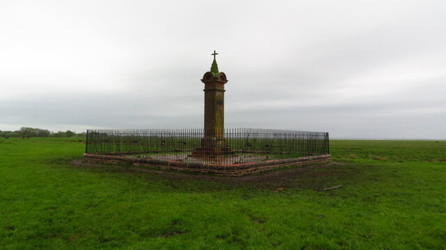
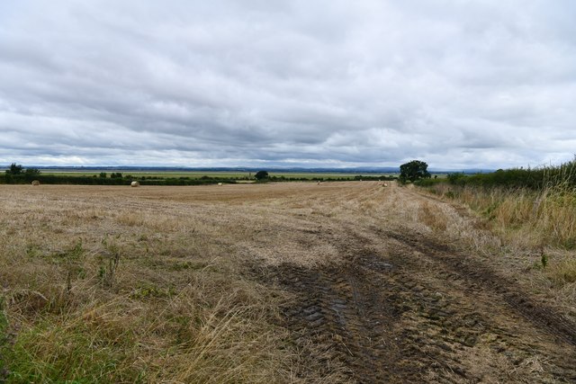
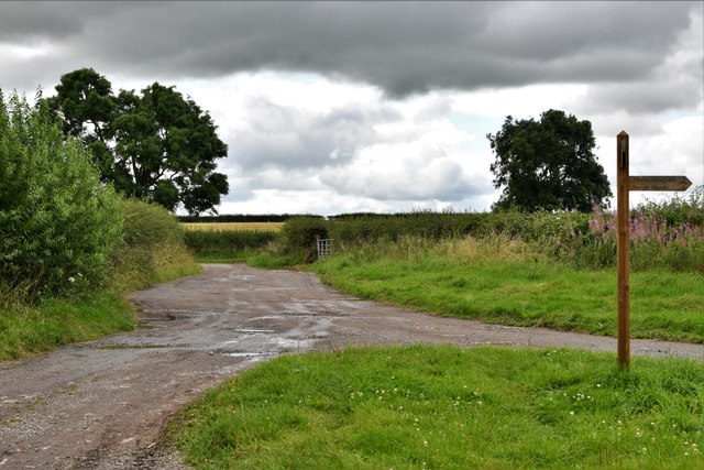
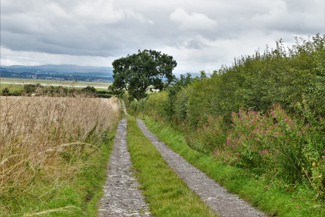
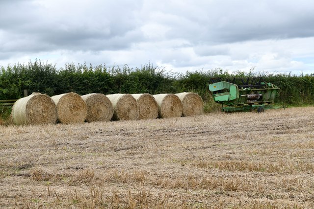
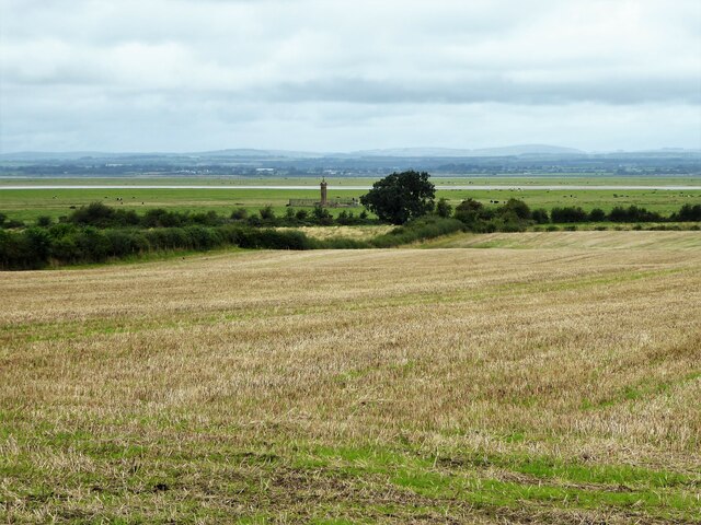
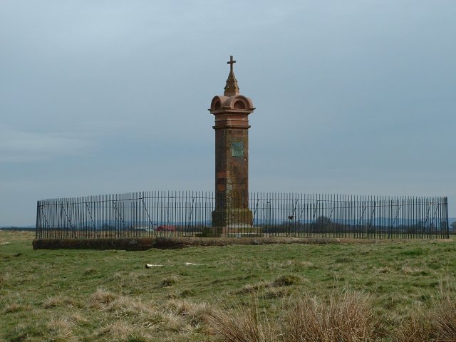
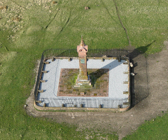
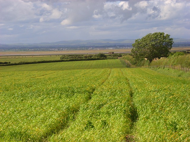
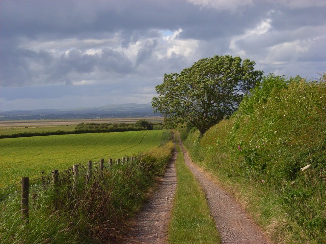
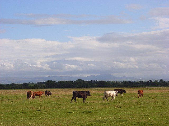
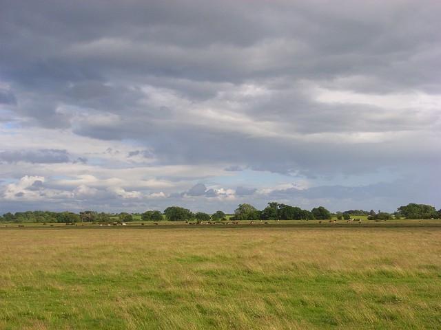
North End Images
Images are sourced within 2km of 54.923882/-3.048665 or Grid Reference NY3259. Thanks to Geograph Open Source API. All images are credited.


North End is located at Grid Ref: NY3259 (Lat: 54.923882, Lng: -3.048665)
Administrative County: Cumbria
District: Carlisle
Police Authority: Cumbria
What 3 Words
///annotated.gamer.fillings. Near Gretna, Dumfries & Galloway
Nearby Locations
Related Wikis
Burgh by Sands
Burgh by Sands ( ) is a village and civil parish in the Cumberland unitary authority area of Cumbria, England, situated near the Solway Firth. The parish...

North End, Cumbria
North End is the northernmost part of the village of Burgh by Sands in the City of Carlisle district of Cumbria, England. == References ==
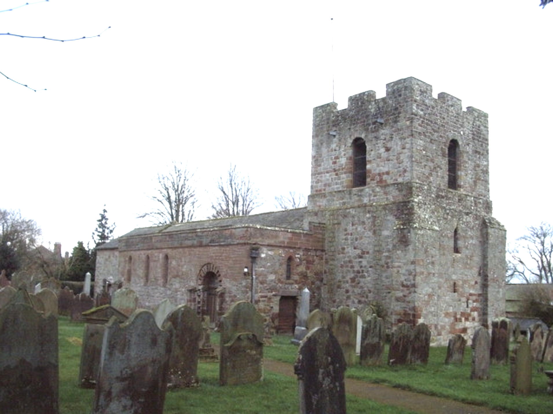
St Michael's Church, Burgh by Sands
St Michael's Church is in the village of Burgh by Sands, Cumbria, England. It is an active Anglican parish church in the deanery of Carlisle, the archdeaconry...

Aballava
Aballava or Aballaba (with the modern name of Burgh by Sands) was a Roman fort on Hadrian's Wall, between Petriana (Stanwix) to the east and Coggabata...

Milecastle 72
Milecastle 72 (Fauld Farm) was one of a series of Milecastles or small fortlets built at intervals of approximately one Roman mile along Hadrian's Wall...
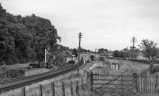
Burgh-by-Sands railway station
Burgh-by-Sands railway station was originally named Burgh (pronounced "Bruff"). It opened in 1854 on the Port Carlisle Railway branch and later the Silloth...

Milecastle 71
Milecastle 71 (Wormanby) was one of a series of Milecastles or small fortlets built at intervals of approximately one Roman mile along Hadrian's Wall...
Monkhill, Cumbria
Monkhill is a small village in the civil parish of Beaumont, in the City of Carlisle district, in the county of Cumbria, England. Nearby settlements include...
Nearby Amenities
Located within 500m of 54.923882,-3.048665Have you been to North End?
Leave your review of North End below (or comments, questions and feedback).