West End
Settlement in Cumberland Carlisle
England
West End
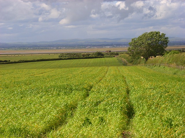
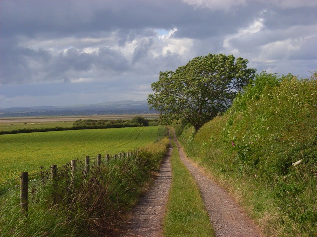
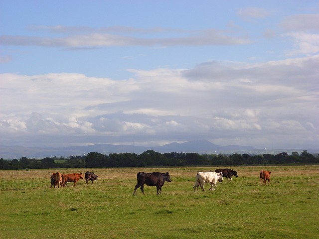
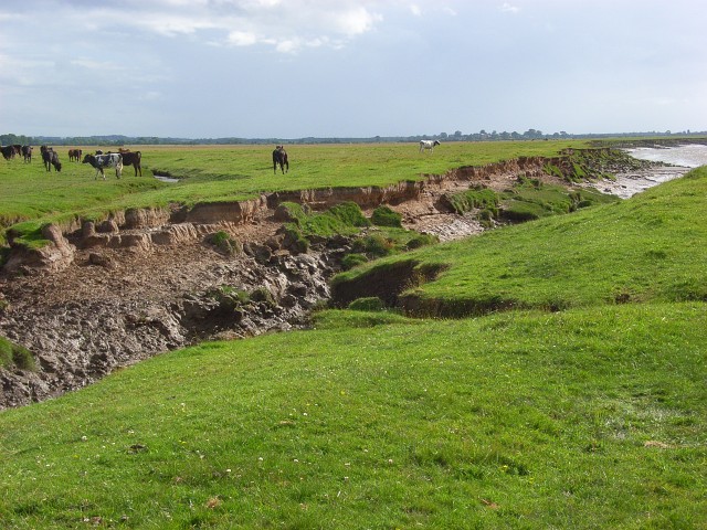
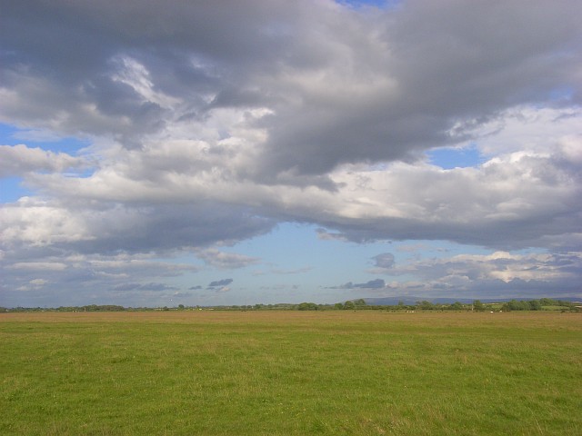
West End is a small town located in the Cumberland region of England. Situated in the northwest part of the country, West End is nestled within the picturesque countryside of Cumberland, surrounded by rolling hills and lush greenery. The town is known for its tranquil atmosphere and close-knit community.
With a population of approximately 2,500 residents, West End offers a peaceful and friendly environment for both residents and visitors alike. The town is characterized by its charming traditional architecture, with many well-preserved historic buildings and cottages lining its streets.
West End boasts a range of amenities and services to cater to the needs of its residents. The town center features a variety of shops, including local boutiques, grocery stores, and convenience stores. There are also several cafes, restaurants, and pubs where locals can socialize and enjoy a meal or a drink.
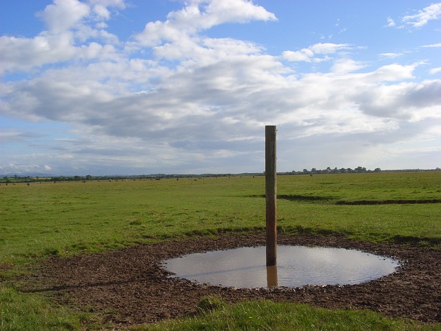
Nature enthusiasts will find themselves in paradise in West End, as the town is surrounded by stunning natural landscapes. The nearby countryside offers ample opportunities for outdoor activities such as hiking, cycling, and horseback riding. Additionally, there are several parks and green spaces within the town itself, providing residents with tranquil spots for relaxation and recreation.
West End has a strong sense of community, with various local events and festivals taking place throughout the year. These events bring residents together and create a lively and vibrant atmosphere. The town also has a number of community organizations and clubs that offer a range of activities and services for all age groups.
Overall, West End is a quaint and welcoming town that offers a peaceful and picturesque lifestyle in the heart of the Cumberland countryside.
If you have any feedback on the listing, please let us know in the comments section below.
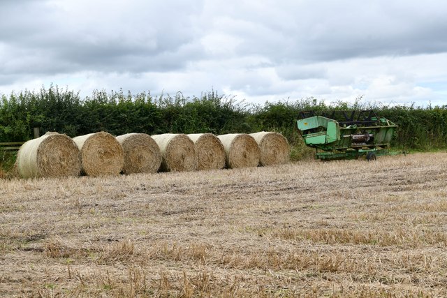
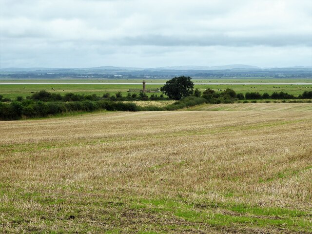
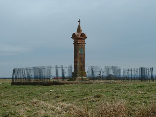
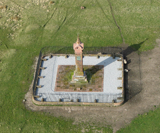
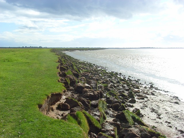
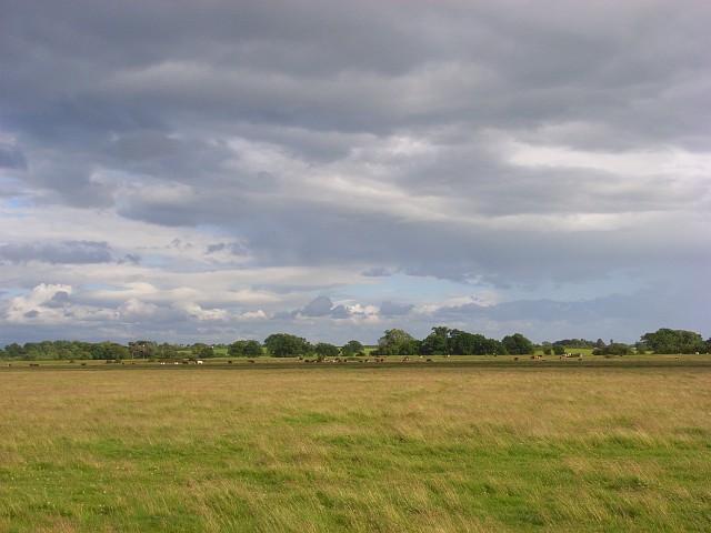
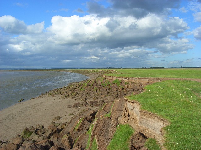
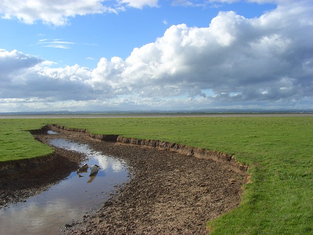
West End Images
Images are sourced within 2km of 54.921813/-3.059221 or Grid Reference NY3259. Thanks to Geograph Open Source API. All images are credited.
West End is located at Grid Ref: NY3259 (Lat: 54.921813, Lng: -3.059221)
Administrative County: Cumbria
District: Carlisle
Police Authority: Cumbria
What 3 Words
///sneezing.cyber.scrubber. Near Gretna, Dumfries & Galloway
Nearby Locations
Related Wikis
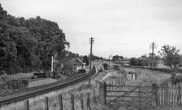
Burgh-by-Sands railway station
Burgh-by-Sands railway station was originally named Burgh (pronounced "Bruff"). It opened in 1854 on the Port Carlisle Railway branch and later the Silloth...

Milecastle 72
Milecastle 72 (Fauld Farm) was one of a series of Milecastles or small fortlets built at intervals of approximately one Roman mile along Hadrian's Wall...

Aballava
Aballava or Aballaba (with the modern name of Burgh by Sands) was a Roman fort on Hadrian's Wall, between Petriana (Stanwix) to the east and Coggabata...
Burgh by Sands
Burgh by Sands ( ) is a village and civil parish in the Cumberland unitary authority area of Cumbria, England, situated near the Solway Firth. The parish...

North End, Cumbria
North End is the northernmost part of the village of Burgh by Sands in the City of Carlisle district of Cumbria, England. == References ==
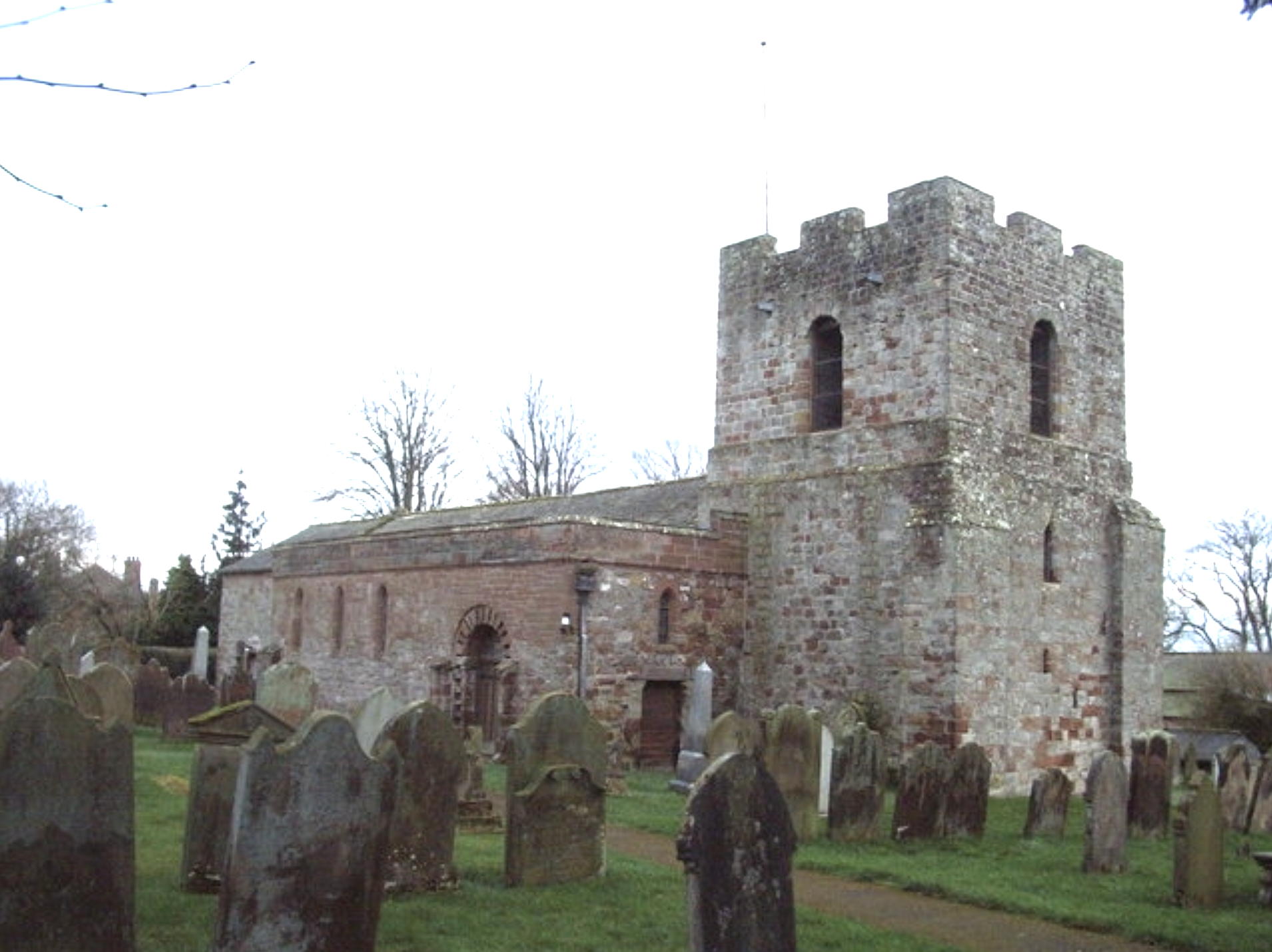
St Michael's Church, Burgh by Sands
St Michael's Church is in the village of Burgh by Sands, Cumbria, England. It is an active Anglican parish church in the deanery of Carlisle, the archdeaconry...

Milecastle 73
Milecastle 73 (Dykesfield) was one of a series of Milecastles or small fortlets built at intervals of approximately one Roman mile along Hadrian's Wall...

Longburgh
Longburgh is a hamlet in the civil parish of Burgh by Sands, in the City of Carlisle District, in the English county of Cumbria. Nearby settlements include...
Nearby Amenities
Located within 500m of 54.921813,-3.059221Have you been to West End?
Leave your review of West End below (or comments, questions and feedback).