Burgh by Sands
Settlement in Cumberland Carlisle
England
Burgh by Sands
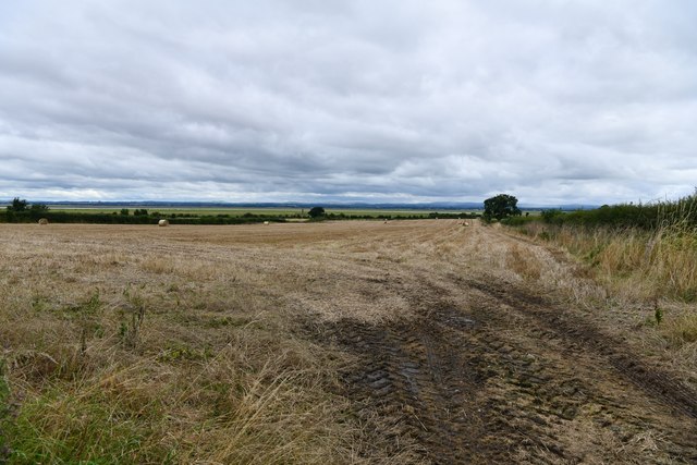
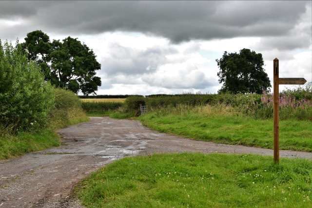
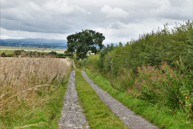
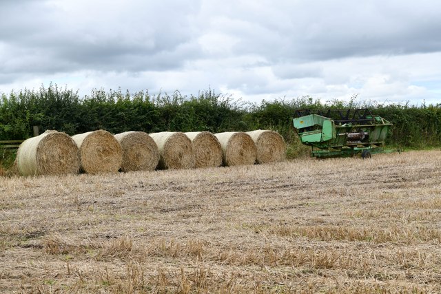
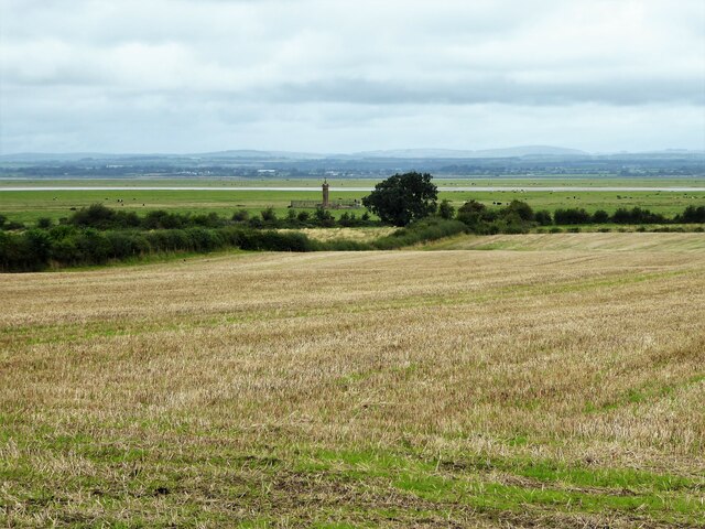
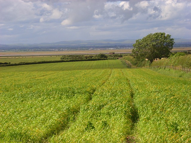
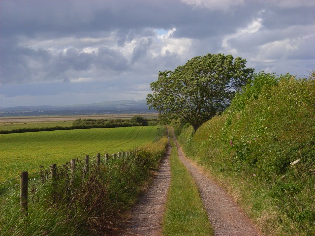
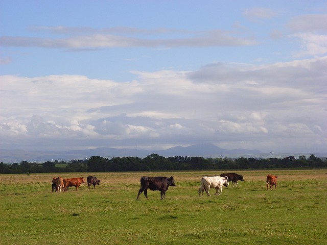
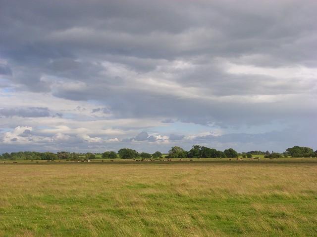
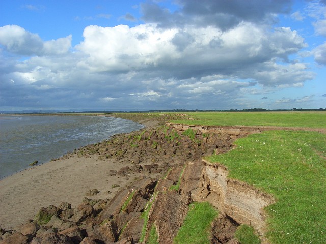
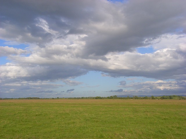
Burgh by Sands is a small village located in the county of Cumberland, in the northwestern part of England. Situated on the Solway Firth estuary, it is approximately 7 miles west of the city of Carlisle. The village is nestled amidst picturesque countryside, with rolling hills and open fields surrounding it.
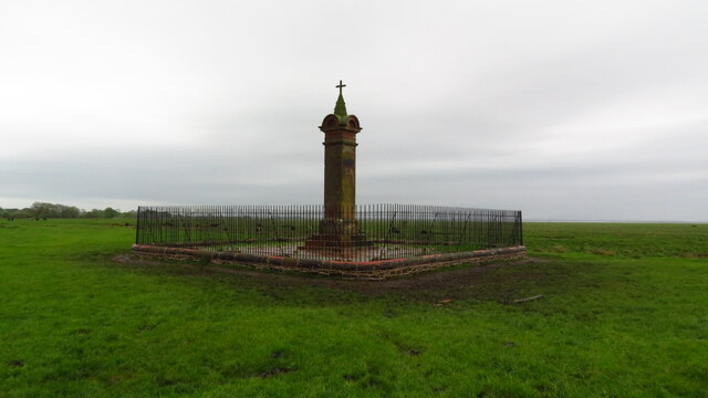
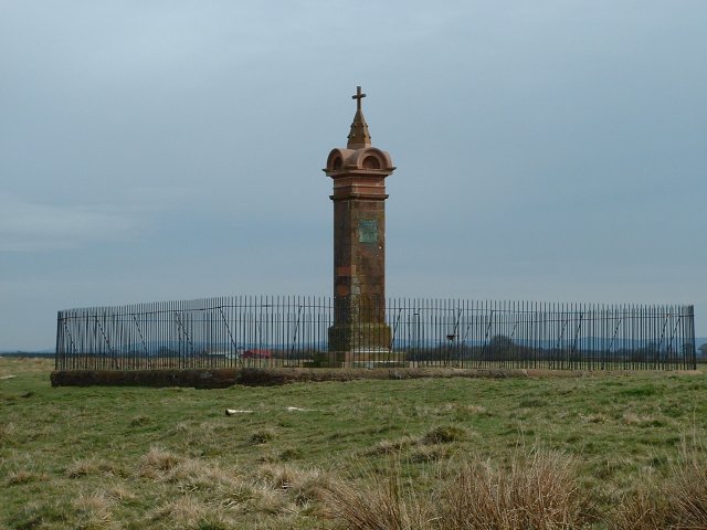
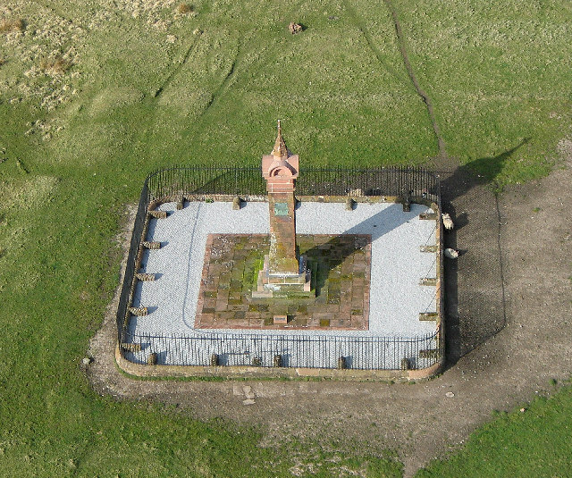
The history of Burgh by Sands dates back to Roman times, as it was once an important Roman settlement known as Aballava. The remains of the Roman fort can still be seen today, attracting history enthusiasts and archaeologists alike. The most notable historical event associated with the village is the death of King Edward I of England, also known as Edward Longshanks, in 1307. It is believed that he passed away in Burgh by Sands on his way to Scotland.
Today, Burgh by Sands is a charming and peaceful village, offering a tranquil escape from the bustling city life. It is a popular destination for nature lovers and hikers, with numerous scenic walking trails in the surrounding countryside. The village itself features a few local amenities including a village hall, a pub, and a handful of shops.
The community in Burgh by Sands is tight-knit and welcoming, with a strong sense of pride in their village's rich heritage. The annual Burgh by Sands Gala, held in the summer, brings residents together for a day of festivities and celebration.
Overall, Burgh by Sands is a quaint and historical village, perfect for those seeking a peaceful retreat or an opportunity to explore the Roman history of the region.
If you have any feedback on the listing, please let us know in the comments section below.
Burgh by Sands Images
Images are sourced within 2km of 54.921218/-3.0588125 or Grid Reference NY3259. Thanks to Geograph Open Source API. All images are credited.


Burgh by Sands is located at Grid Ref: NY3259 (Lat: 54.921218, Lng: -3.0588125)
Administrative County: Cumbria
District: Carlisle
Police Authority: Cumbria
What 3 Words
///duplicate.currently.winter. Near Gretna, Dumfries & Galloway
Nearby Locations
Related Wikis
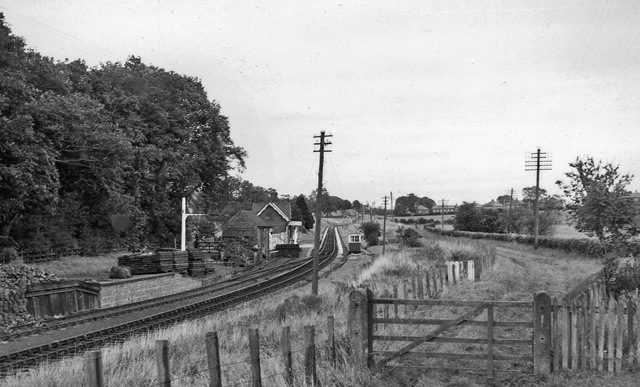
Burgh-by-Sands railway station
Burgh-by-Sands railway station was originally named Burgh (pronounced "Bruff"). It opened in 1854 on the Port Carlisle Railway branch and later the Silloth...

Milecastle 72
Milecastle 72 (Fauld Farm) was one of a series of Milecastles or small fortlets built at intervals of approximately one Roman mile along Hadrian's Wall...

Aballava
Aballava or Aballaba (with the modern name of Burgh by Sands) was a Roman fort on Hadrian's Wall, between Petriana (Stanwix) to the east and Coggabata...
Burgh by Sands
Burgh by Sands ( ) is a village and civil parish in the Cumberland unitary authority area of Cumbria, England, situated near the Solway Firth. The parish...

North End, Cumbria
North End is the northernmost part of the village of Burgh by Sands in the City of Carlisle district of Cumbria, England. == References ==
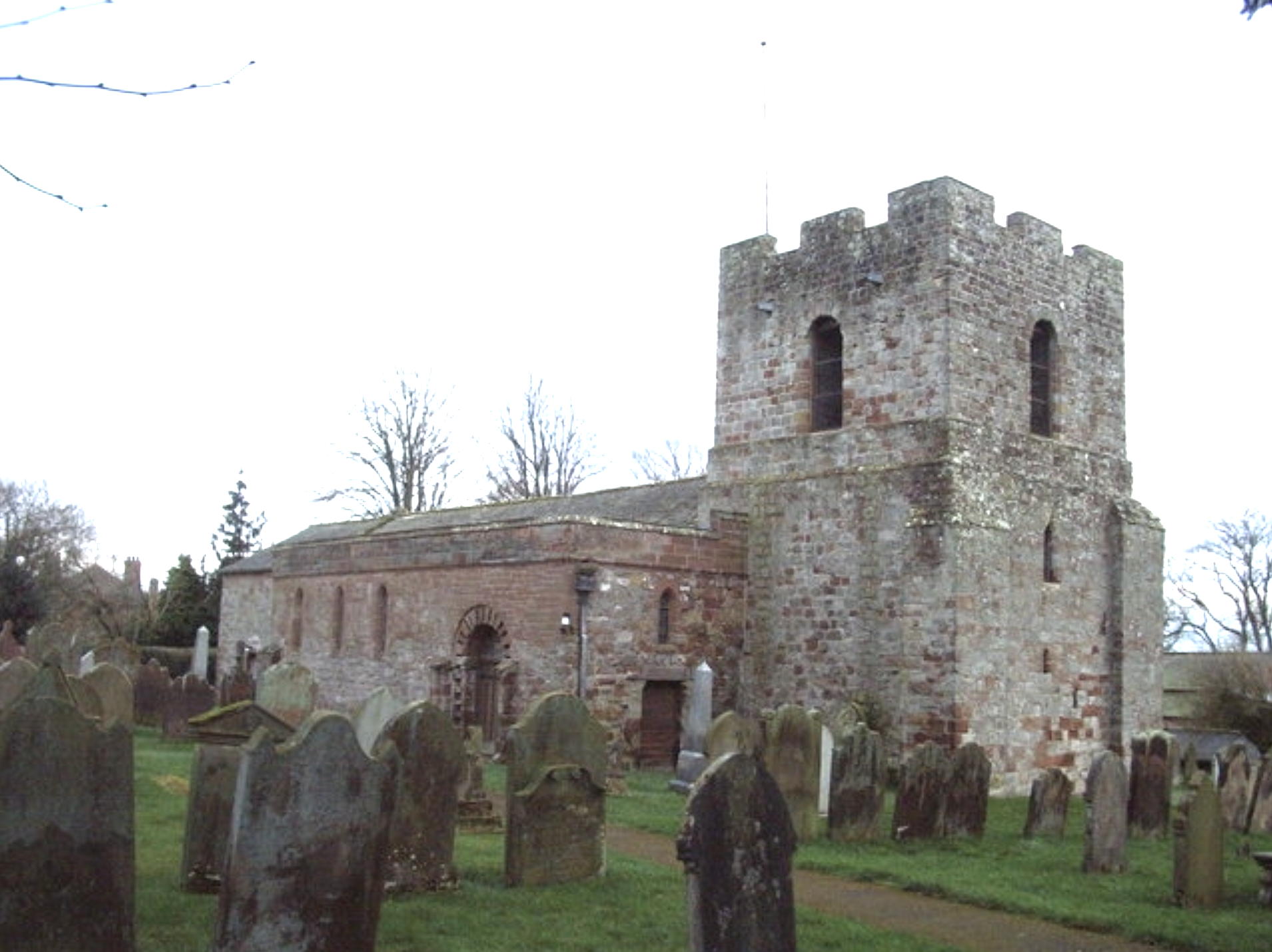
St Michael's Church, Burgh by Sands
St Michael's Church is in the village of Burgh by Sands, Cumbria, England. It is an active Anglican parish church in the deanery of Carlisle, the archdeaconry...

Milecastle 73
Milecastle 73 (Dykesfield) was one of a series of Milecastles or small fortlets built at intervals of approximately one Roman mile along Hadrian's Wall...

Longburgh
Longburgh is a hamlet in the civil parish of Burgh by Sands, in the City of Carlisle District, in the English county of Cumbria. Nearby settlements include...
Nearby Amenities
Located within 500m of 54.921218,-3.0588125Have you been to Burgh by Sands?
Leave your review of Burgh by Sands below (or comments, questions and feedback).