Burgh Castle
Settlement in Suffolk Great Yarmouth
England
Burgh Castle

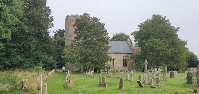
Burgh Castle is a small village located in the county of Suffolk, England. Situated on the eastern bank of the River Waveney, it lies approximately 7 miles west of Great Yarmouth and 21 miles east of Norwich. The village is known for its historical significance, with its most prominent feature being the ruins of a Roman fort.
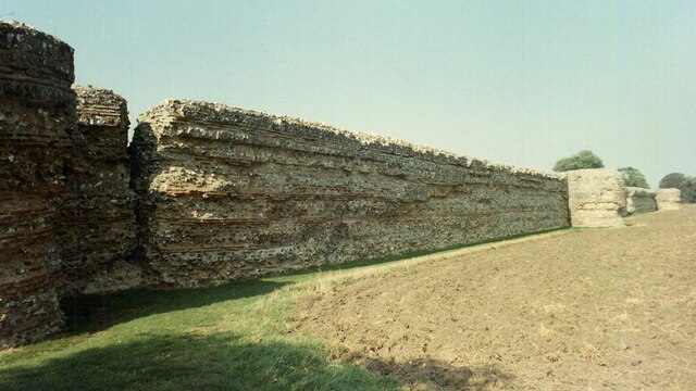
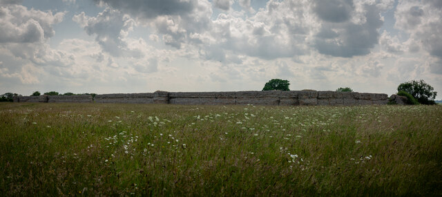
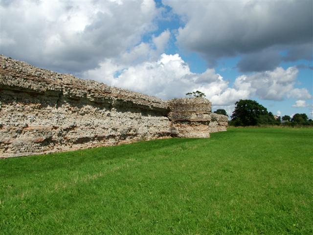
The fort at Burgh Castle was built during the 3rd century AD as part of a network of defenses along the Roman Empire's eastern coast. It was originally called Gariannonum and served as a key outpost in the Roman province of Britannia. Today, the ruins of the fort consist of three substantial walls, with the fourth side open to the river. The walls are made of flint and mortar, and their impressive height and thickness are a testament to the fort's former grandeur.
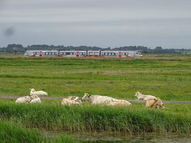
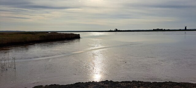
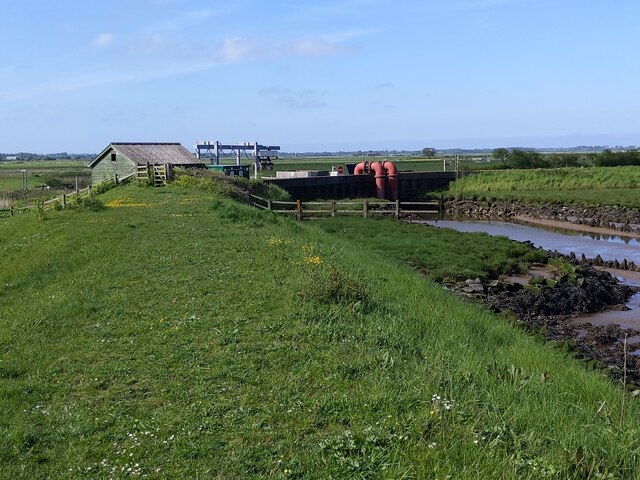
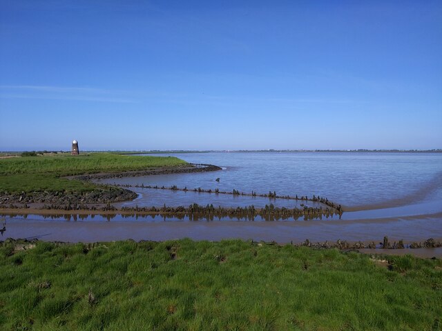
Apart from the Roman fort, Burgh Castle is also known for its picturesque surroundings. The village offers stunning views of the Norfolk Broads, a network of rivers, lakes, and marshes that provide a haven for wildlife and a popular destination for boating and fishing enthusiasts.
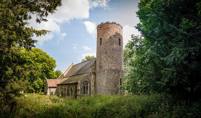
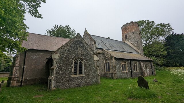
In addition, Burgh Castle boasts a charming village center with a few local amenities, including a pub and a village hall. The area surrounding the village is predominantly rural, with farmland and open fields stretching out towards the horizon.
Overall, Burgh Castle is a place of historical significance and natural beauty, attracting both history enthusiasts and those seeking a tranquil retreat in the Suffolk countryside.
If you have any feedback on the listing, please let us know in the comments section below.
Burgh Castle Images
Images are sourced within 2km of 52.587083/1.659738 or Grid Reference TG4705. Thanks to Geograph Open Source API. All images are credited.


Burgh Castle is located at Grid Ref: TG4705 (Lat: 52.587083, Lng: 1.659738)
Administrative County: Norfolk
District: Great Yarmouth
Police Authority: Norfolk
What 3 Words
///lotteries.swooned.failed. Near Bradwell, Norfolk
Related Wikis

Burgh Castle
Burgh Castle is a village and civil parish in the English county of Norfolk. It is situated on the east bank of the River Waveney, some 3.7 miles (6.0...

Burgh Castle (Roman fortification)
Burgh Castle is the site of one of nine Roman Saxon Shore forts constructed in England around the 3rd century AD, to hold troops as a defence against Saxon...
Gariannonum
Gariannonum, or Gariannum, was a Roman Saxon Shore fort in Norfolk, England. The Notitia Dignitatum, a Roman Army "order of battle" from about AD 400,...
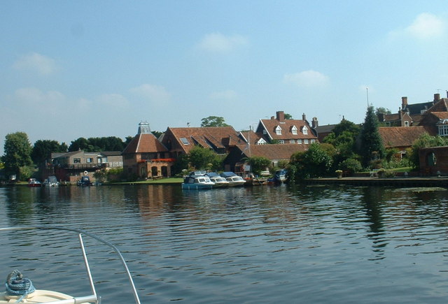
River Waveney
The River Waveney is a river which forms the boundary between Suffolk and Norfolk, England, for much of its length within The Broads. The "ey" part of...

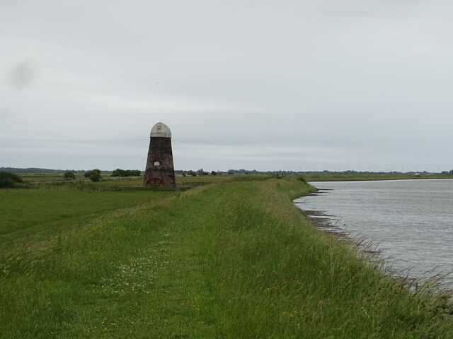
River Yare
The River Yare is a river in the English county of Norfolk. In its lower reaches it is one of the principal navigable waterways of The Broads and connects...

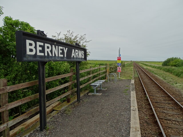
Berney Arms
Berney Arms is a settlement on the north bank of the River Yare, close to Breydon Water in the English county of Norfolk. It is part of the civil parish...
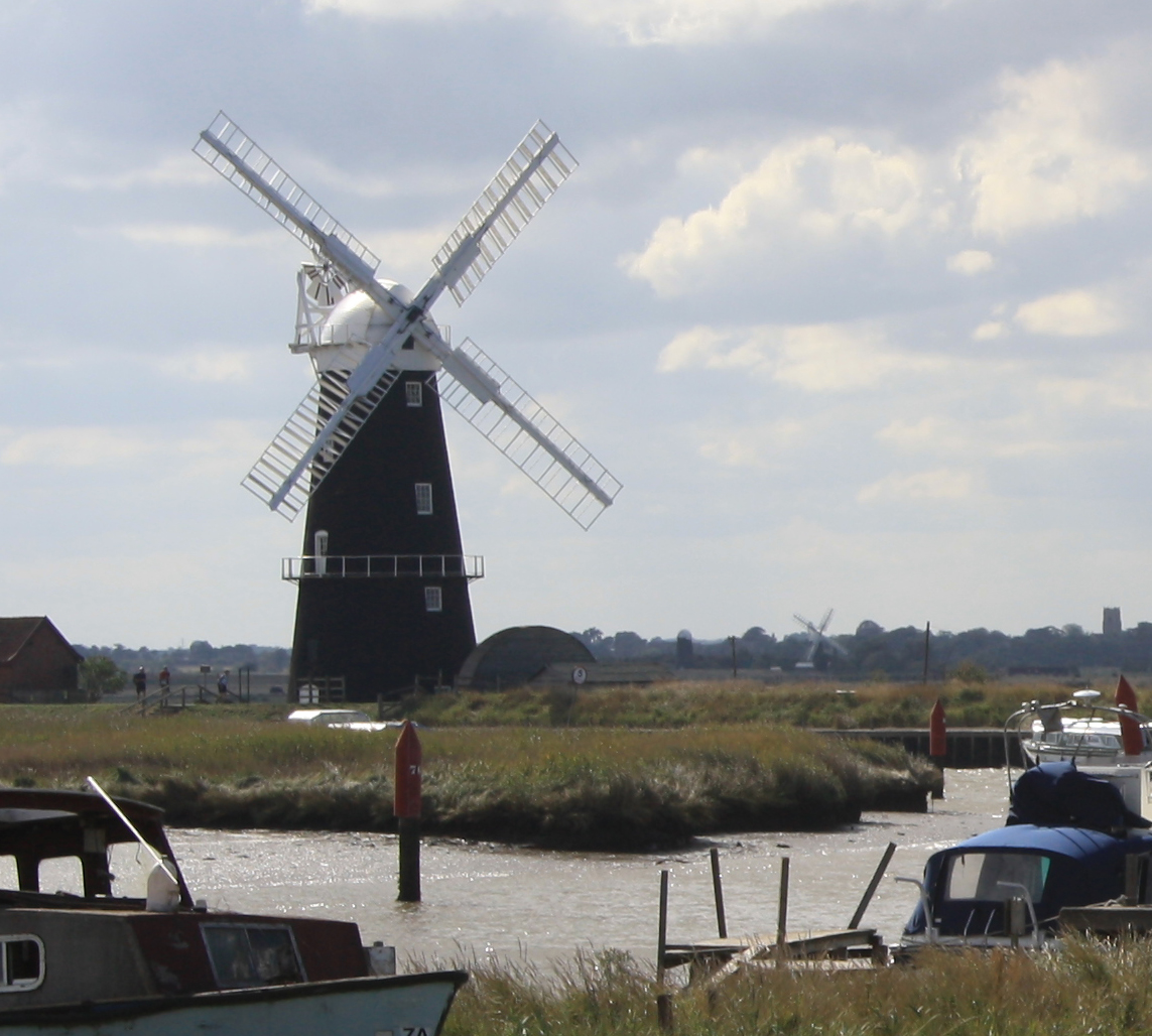
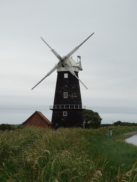
Berney Arms Windmill
Berney Arms Windmill is a tower mill located at Berney Arms alongside the River Yare at the south-western end of Breydon Water in the English county of...

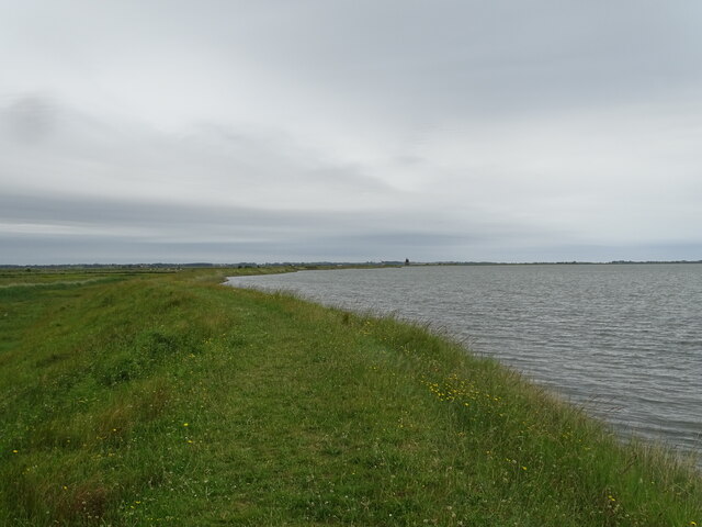
Berney Marshes & Breydon Water RSPB reserve
Berney Marshes and Breydon Water RSPB reserve is a nature reserve managed by the Royal Society for the Protection of Birds (RSPB). Berney Marshes is situated...
Nearby Amenities
Located within 500m of 52.587083,1.659738Have you been to Burgh Castle?
Leave your review of Burgh Castle below (or comments, questions and feedback).