Churchfarm Marshes
Coastal Marsh, Saltings in Suffolk Great Yarmouth
England
Churchfarm Marshes

Churchfarm Marshes is a coastal marshland located in Suffolk, England. It is a part of the Suffolk Coast and Heaths Area of Outstanding Natural Beauty, known for its diverse and unique ecosystems. The marshes are situated near the village of Aldeby, along the banks of the River Waveney.
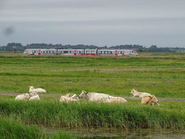
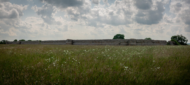
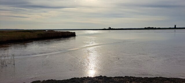
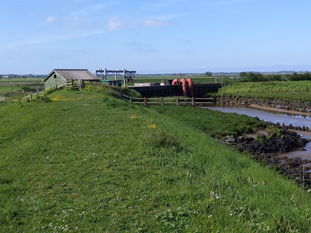
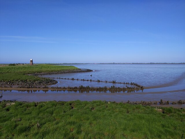
Covering an area of approximately 200 acres, Churchfarm Marshes is a prime example of a salt marsh habitat. Here, the land is regularly flooded by tidal waters, resulting in a mix of brackish water and mudflats. The marshes are divided into several distinct zones, including salt marsh, reed beds, and salt pans.
The salt marsh at Churchfarm Marshes is characterized by its low-lying, flat landscape, covered in a variety of salt-tolerant plants such as samphire, sea lavender, and glasswort. These plants provide vital habitat and food sources for numerous bird species, including wading birds like redshanks, oystercatchers, and curlews. During the winter months, the marshes attract large flocks of migratory birds, making it a popular destination for birdwatchers.
The reed beds within the marshes are home to a diverse range of wildlife, including reed warblers, marsh harriers, and water voles. These habitats are carefully managed to maintain their ecological balance and support the rich biodiversity found in the area.
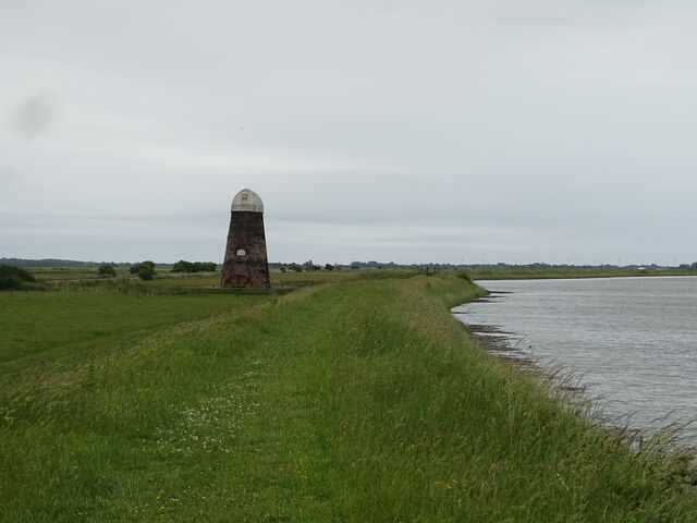
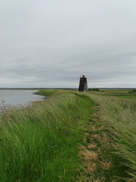
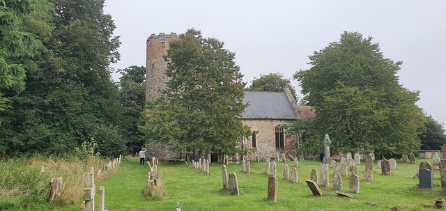
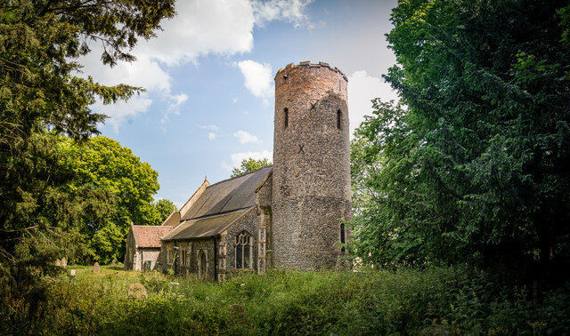
Visitors to Churchfarm Marshes can explore the marshland via a network of footpaths and nature trails. The marshes offer breathtaking views of the surrounding countryside and provide a tranquil environment for those seeking to connect with nature. It is also a designated Site of Special Scientific Interest, highlighting its importance for wildlife conservation and scientific research.
If you have any feedback on the listing, please let us know in the comments section below.
Churchfarm Marshes Images
Images are sourced within 2km of 52.590618/1.652716 or Grid Reference TG4705. Thanks to Geograph Open Source API. All images are credited.


Churchfarm Marshes is located at Grid Ref: TG4705 (Lat: 52.590618, Lng: 1.652716)
Administrative County: Norfolk
District: Great Yarmouth
Police Authority: Norfolk
What 3 Words
///oiled.proves.moving. Near Bradwell, Norfolk
Related Wikis

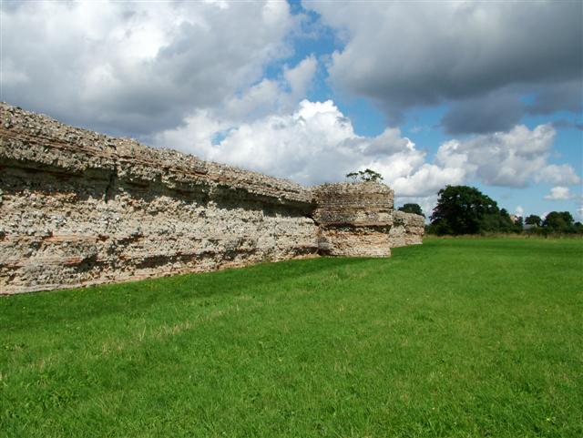
Burgh Castle
Burgh Castle is a village and civil parish in the English county of Norfolk. It is situated on the east bank of the River Waveney, some 3.7 miles (6.0...

River Yare
The River Yare is a river in the English county of Norfolk. In its lower reaches it is one of the principal navigable waterways of The Broads and connects...

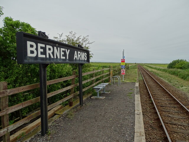
Berney Arms
Berney Arms is a settlement on the north bank of the River Yare, close to Breydon Water in the English county of Norfolk. It is part of the civil parish...

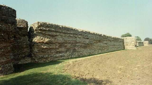
Burgh Castle (Roman fortification)
Burgh Castle is the site of one of nine Roman Saxon Shore forts constructed in England around the 3rd century AD, to hold troops as a defence against Saxon...
River Waveney
The River Waveney is a river which forms the boundary between Suffolk and Norfolk, England, for much of its length within The Broads. The "ey" part of...
Gariannonum
Gariannonum, or Gariannum, was a Roman Saxon Shore fort in Norfolk, England. The Notitia Dignitatum, a Roman Army "order of battle" from about AD 400,...
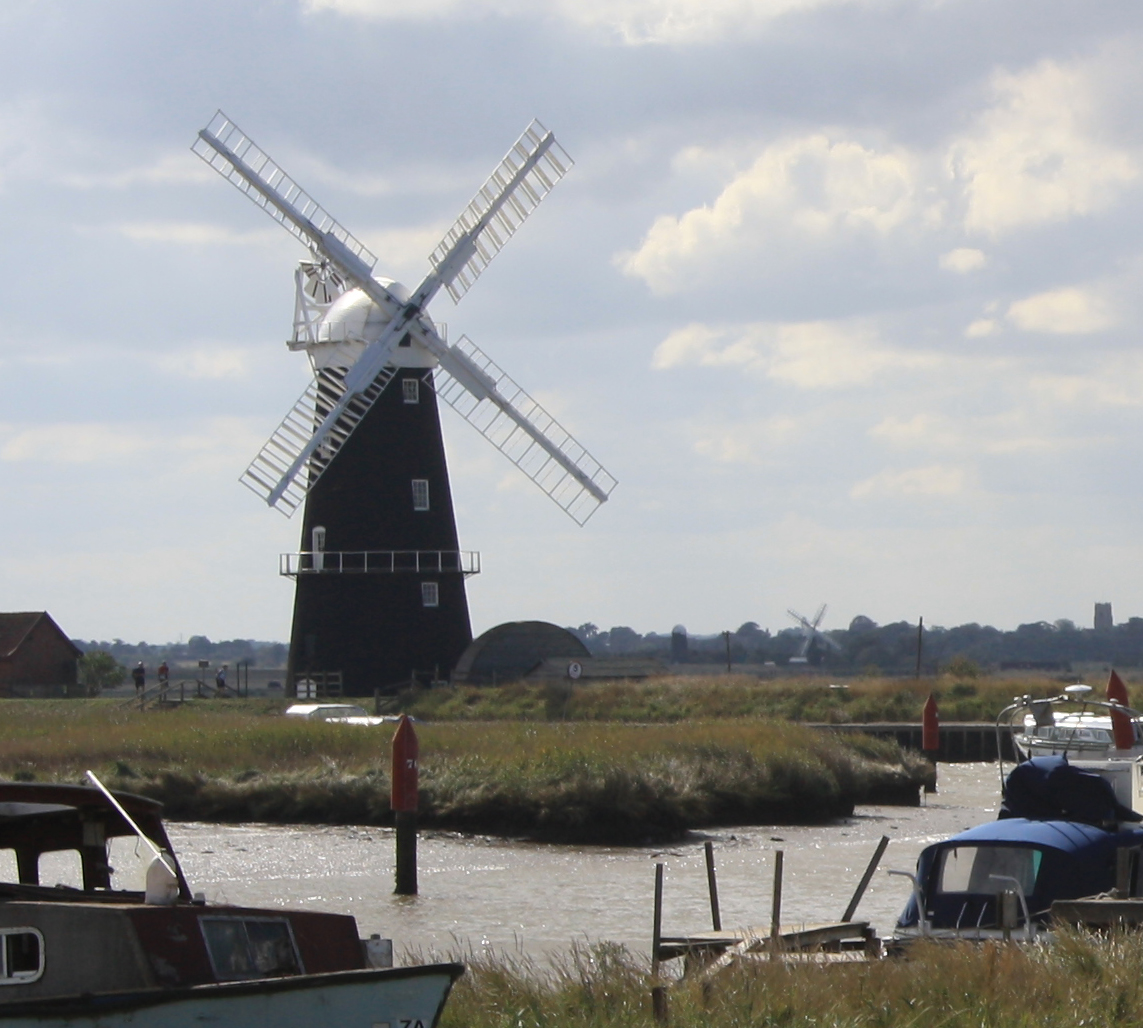
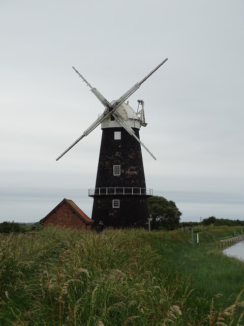
Berney Arms Windmill
Berney Arms Windmill is a tower mill located at Berney Arms alongside the River Yare at the south-western end of Breydon Water in the English county of...

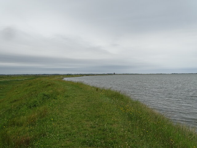
Berney Marshes & Breydon Water RSPB reserve
Berney Marshes and Breydon Water RSPB reserve is a nature reserve managed by the Royal Society for the Protection of Birds (RSPB). Berney Marshes is situated...
Nearby Amenities
Located within 500m of 52.590618,1.652716Have you been to Churchfarm Marshes?
Leave your review of Churchfarm Marshes below (or comments, questions and feedback).