The Narrows
Sea, Estuary, Creek in Norfolk South Norfolk
England
The Narrows

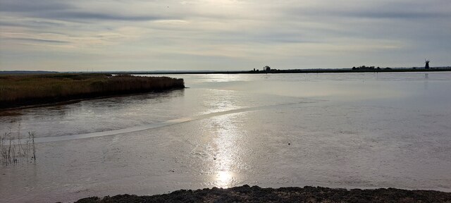
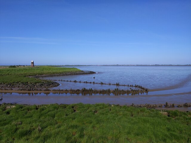
The Narrows, located in Norfolk, is a natural waterway that serves as a connecting channel between the sea, estuary, and creek. Spanning approximately one mile in length, it is a significant feature of the local landscape and plays a crucial role in the region's ecosystem.
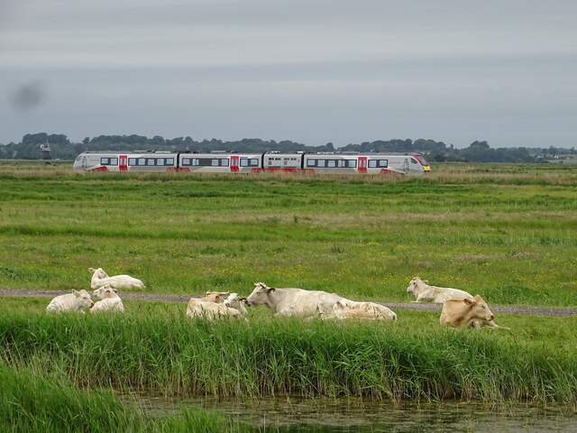
As a sea inlet, The Narrows allows the sea to flow into the surrounding area, bringing in tidal currents and marine life. This connection to the sea ensures a constant exchange of saltwater, maintaining a balanced salinity level that supports a diverse range of aquatic plants and animals. The presence of saltwater species attracts a variety of birds, creating an ideal habitat for both resident and migratory avian species.
The Narrows also serves as an estuary, where the river meets the sea. This transitional zone experiences a mix of freshwater and saltwater, resulting in unique environmental conditions that support a rich biodiversity. The mixing of waters provides essential nutrients for aquatic organisms and creates a productive breeding ground for fish and crustaceans.
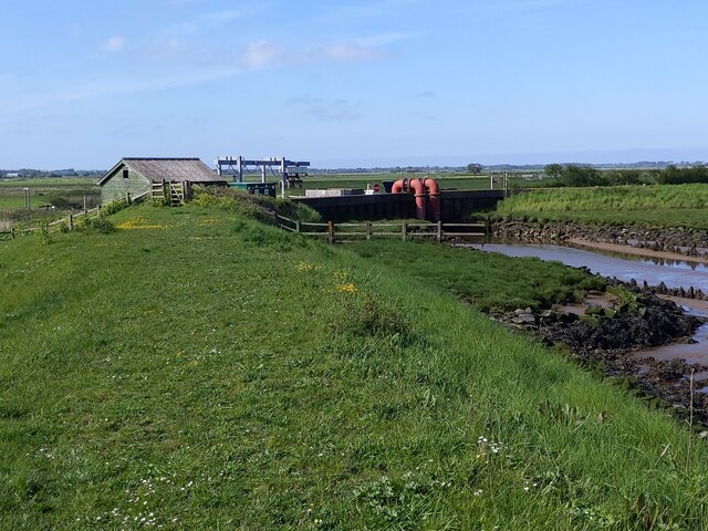
Furthermore, The Narrows functions as a creek, serving as a tributary to larger water bodies in the area. The creek's meandering path through the landscape creates intricate habitats, with the presence of marshes, mudflats, and tidal creeks. These diverse habitats support a wide array of plants and animals, including marsh grasses, shellfish, and wading birds.
Overall, The Narrows in Norfolk is a dynamic and vital waterway that connects the sea, estuary, and creek. Its presence contributes to the overall health and resilience of the local ecosystem, providing a home for numerous species and playing a significant role in maintaining the area's ecological balance.
If you have any feedback on the listing, please let us know in the comments section below.
The Narrows Images
Images are sourced within 2km of 52.588671/1.6461444 or Grid Reference TG4705. Thanks to Geograph Open Source API. All images are credited.


The Narrows is located at Grid Ref: TG4705 (Lat: 52.588671, Lng: 1.6461444)
Administrative County: Norfolk
District: South Norfolk
Police Authority: Norfolk
What 3 Words
///eggplants.scariest.passions. Near Bradwell, Norfolk
Related Wikis

River Yare
The River Yare is a river in the English county of Norfolk. In its lower reaches it is one of the principal navigable waterways of The Broads and connects...

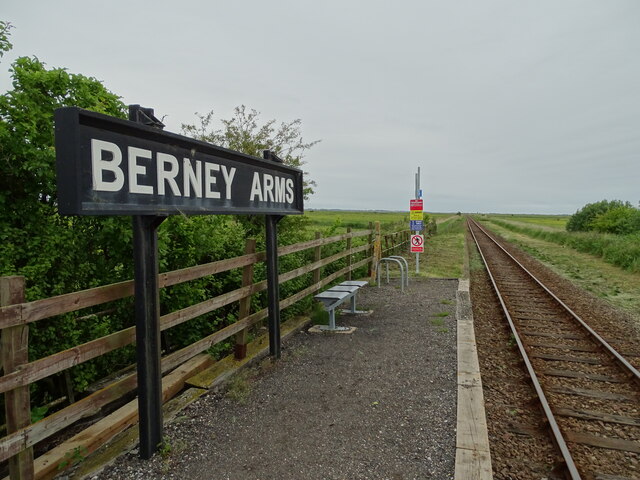
Berney Arms
Berney Arms is a settlement on the north bank of the River Yare, close to Breydon Water in the English county of Norfolk. It is part of the civil parish...
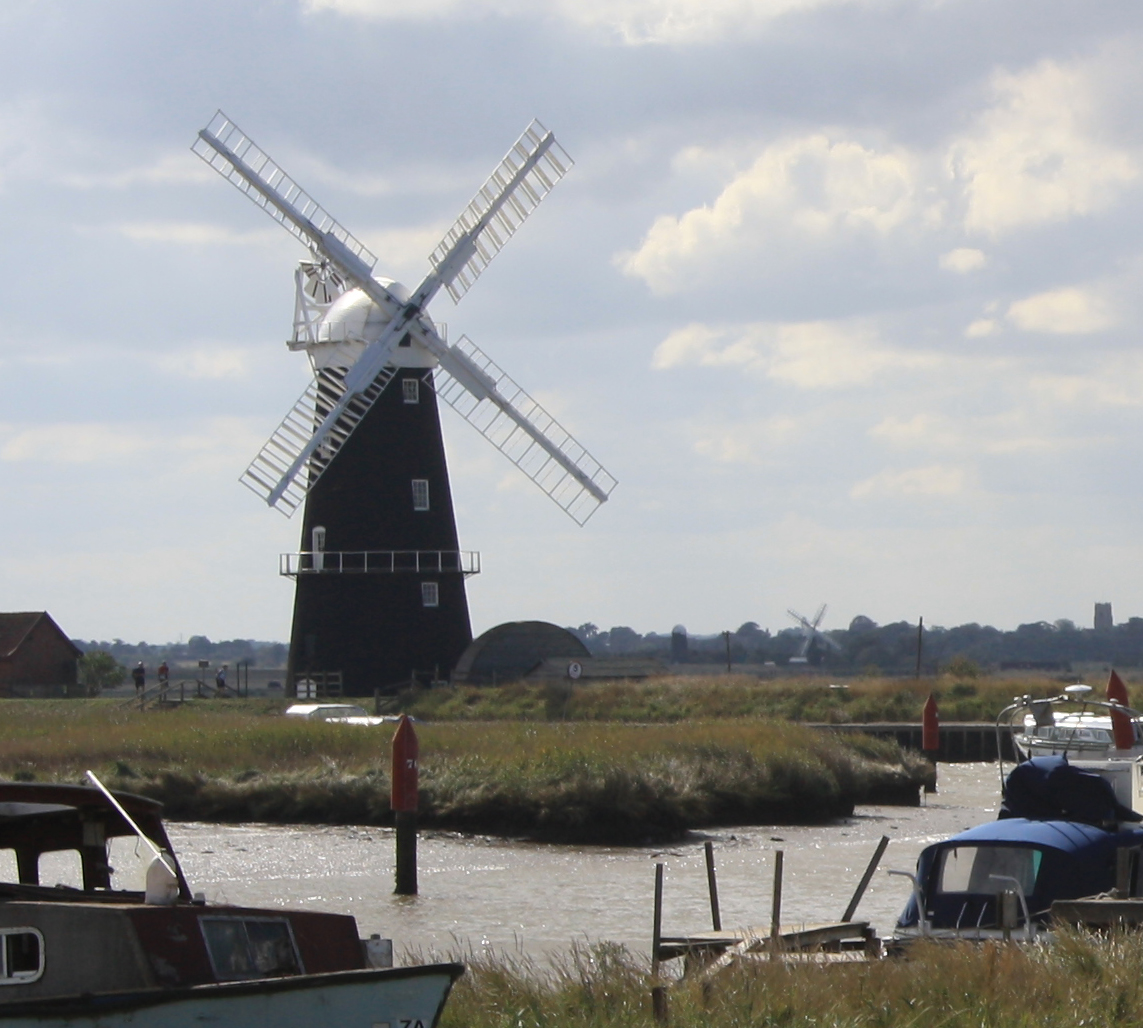
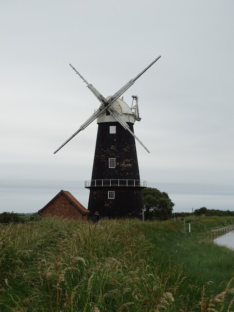
Berney Arms Windmill
Berney Arms Windmill is a tower mill located at Berney Arms alongside the River Yare at the south-western end of Breydon Water in the English county of...

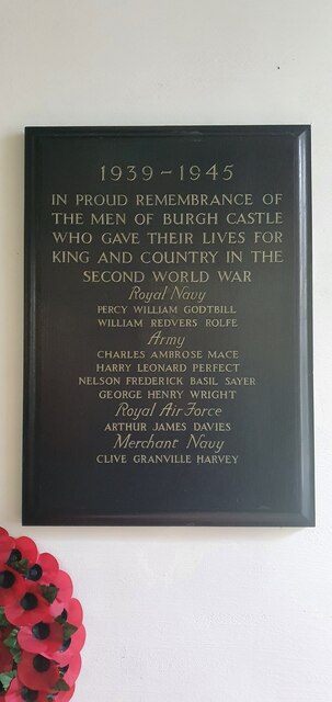
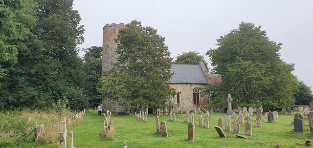
Burgh Castle
Burgh Castle is a village and civil parish in the English county of Norfolk. It is situated on the east bank of the River Waveney, some 3.7 miles (6.0...
River Waveney
The River Waveney is a river which forms the boundary between Suffolk and Norfolk, England, for much of its length within The Broads. The "ey" part of...

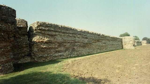
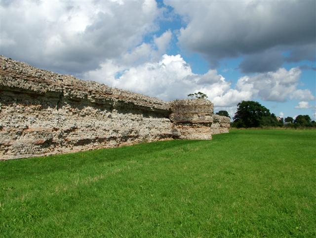
Burgh Castle (Roman fortification)
Burgh Castle is the site of one of nine Roman Saxon Shore forts constructed in England around the 3rd century AD, to hold troops as a defence against Saxon...

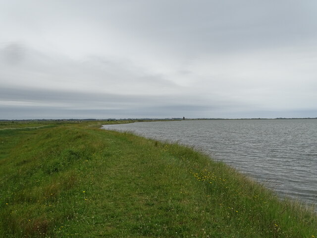
Berney Marshes & Breydon Water RSPB reserve
Berney Marshes and Breydon Water RSPB reserve is a nature reserve managed by the Royal Society for the Protection of Birds (RSPB). Berney Marshes is situated...
Gariannonum
Gariannonum, or Gariannum, was a Roman Saxon Shore fort in Norfolk, England. The Notitia Dignitatum, a Roman Army "order of battle" from about AD 400,...
Nearby Amenities
Located within 500m of 52.588671,1.6461444Have you been to The Narrows?
Leave your review of The Narrows below (or comments, questions and feedback).