Belton Reach
Sea, Estuary, Creek in Norfolk South Norfolk
England
Belton Reach

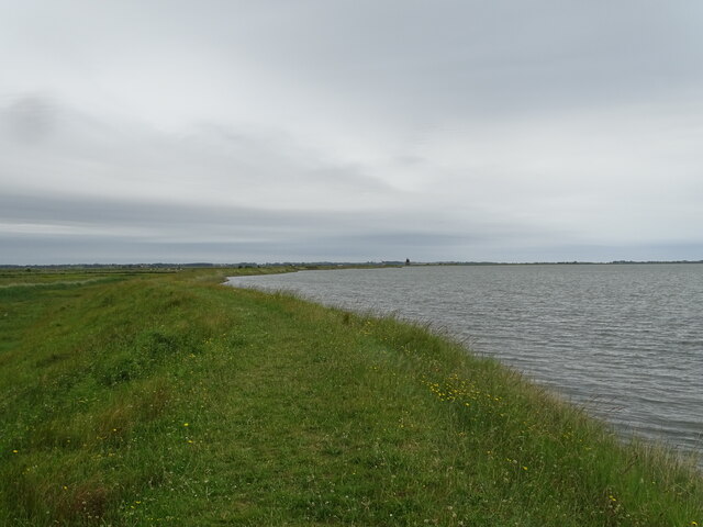
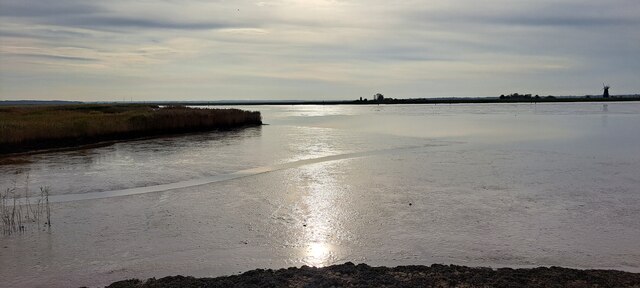
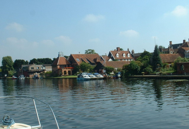
Belton Reach is a picturesque area located in Norfolk, England. It is situated on the southern bank of the River Yare, which flows into the North Sea. This idyllic location combines the beauty of both land and water, making it a popular destination for nature lovers and boating enthusiasts alike.
The area is characterized by its stunning estuary and creek, which provide a serene and tranquil atmosphere. The River Yare meanders through the landscape, creating a network of waterways that are perfect for exploring by boat or kayak. The creek is lined with reeds and marshes, teeming with wildlife such as ducks, swans, and various species of fish.
Belton Reach offers a variety of recreational activities for visitors. Boating and sailing are particularly popular here, with many boat clubs and marinas dotting the coastline. The calm waters of the estuary provide an ideal setting for beginners and experienced sailors alike.
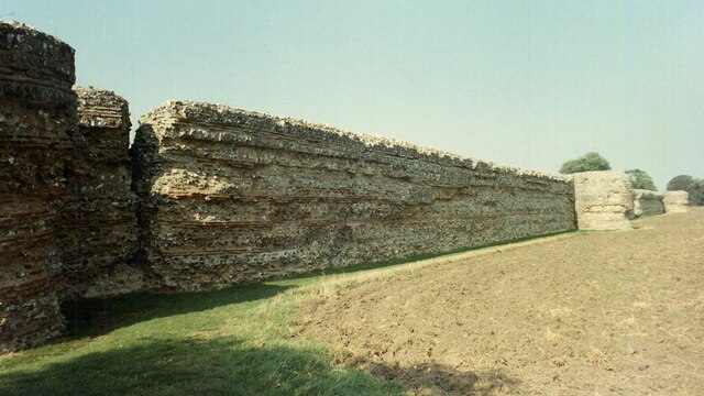
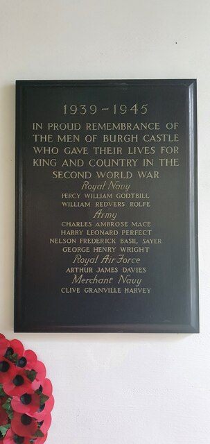
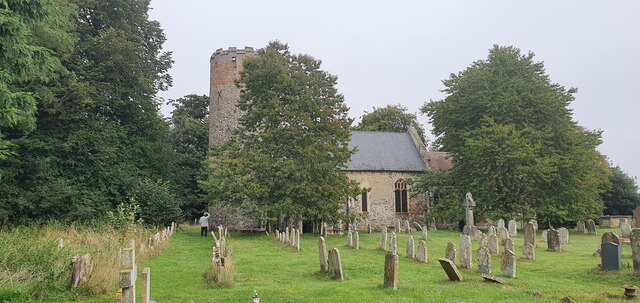
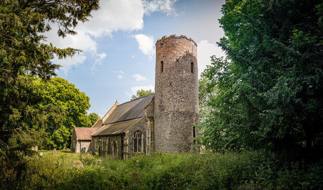
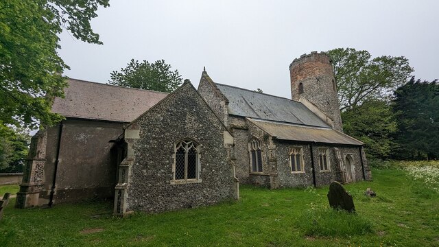
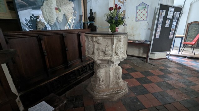
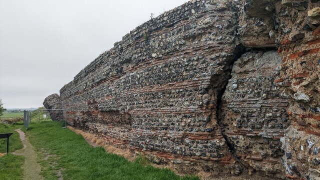
In addition to its natural beauty, Belton Reach is also known for its rich history. The area has been inhabited since ancient times, and remnants of Roman settlements have been found nearby. The nearby village of Belton boasts a charming mix of historic buildings, including a medieval church and a traditional pub.
Overall, Belton Reach in Norfolk is a hidden gem for those seeking a peaceful and scenic getaway. Whether it's exploring the meandering waterways, observing wildlife, or simply enjoying the tranquility of the surroundings, this area offers a truly unique and fulfilling experience for visitors.
If you have any feedback on the listing, please let us know in the comments section below.
Belton Reach Images
Images are sourced within 2km of 52.575262/1.6466693 or Grid Reference TG4703. Thanks to Geograph Open Source API. All images are credited.


Belton Reach is located at Grid Ref: TG4703 (Lat: 52.575262, Lng: 1.6466693)
Administrative County: Norfolk
District: South Norfolk
Police Authority: Norfolk
What 3 Words
///swordfish.stumpy.vocals. Near Bradwell, Norfolk
Nearby Locations
Related Wikis
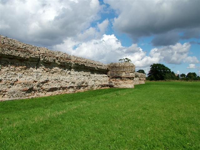
Gariannonum
Gariannonum, or Gariannum, was a Roman Saxon Shore fort in Norfolk, England. The Notitia Dignitatum, a Roman Army "order of battle" from about AD 400,...
River Waveney
The River Waveney is a river which forms the boundary between Suffolk and Norfolk, England, for much of its length within The Broads. The "ey" part of...

Burgh Castle (Roman fortification)
Burgh Castle is the site of one of nine Roman Saxon Shore forts constructed in England around the 3rd century AD, to hold troops as a defence against Saxon...
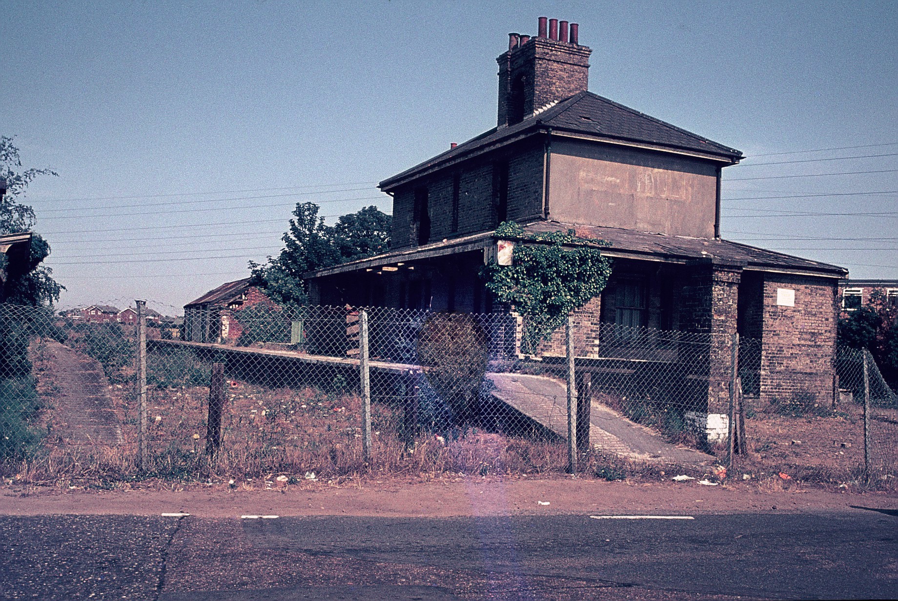
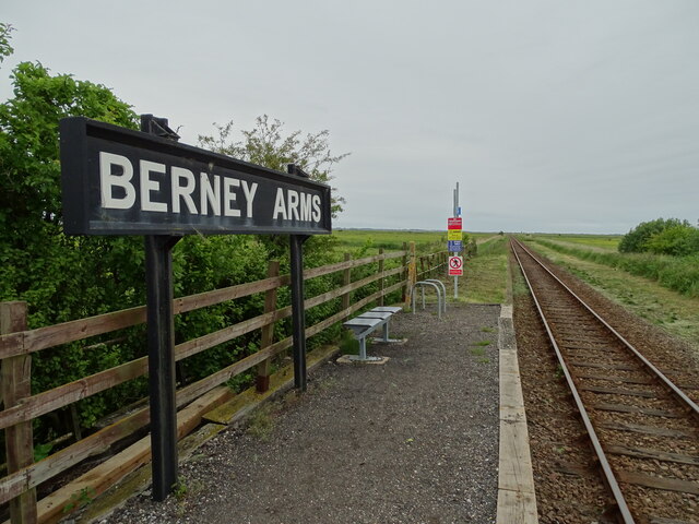
Belton and Burgh railway station
Belton & Burgh (originally Belton) was a railway station serving the Norfolk villages of Belton and Burgh Castle. It once saw trains on the main line from...
Have you been to Belton Reach?
Leave your review of Belton Reach below (or comments, questions and feedback).