Belton Fen
Downs, Moorland in Suffolk Great Yarmouth
England
Belton Fen

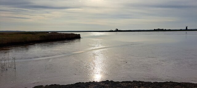
Belton Fen, located in Suffolk, England, is a diverse and unique natural landscape encompassing downs, moorland, and various wetland habitats. Covering an area of approximately 800 acres, it offers a haven for wildlife and is a popular destination for nature enthusiasts and bird watchers.
The fen is characterized by its undulating downs, which are covered in heather, gorse, and other low-lying vegetation. These downs provide a picturesque backdrop and offer stunning views of the surrounding countryside. The moorland areas are rich in flora and fauna, with vibrant displays of wildflowers in the spring and summer months.
Wetlands are a prominent feature of Belton Fen, providing a vital habitat for a wide range of water-loving plants and animals. The fen is home to several rare and protected species, including the fen raft spider and the white-faced darter dragonfly. Birdlife is also abundant, with visitors often spotting species such as lapwings, reed buntings, and marsh harriers.
Belton Fen offers a variety of walking trails and nature trails, allowing visitors to explore the diverse landscape at their own pace. Interpretive boards and information points are scattered throughout the site, providing insights into the unique ecology and history of the area.
Managed by a local conservation organization, Belton Fen is actively involved in habitat restoration and preservation projects. Efforts are made to maintain a delicate balance between conservation and public access, ensuring that the fen can be enjoyed by both visitors and wildlife for generations to come.
If you have any feedback on the listing, please let us know in the comments section below.
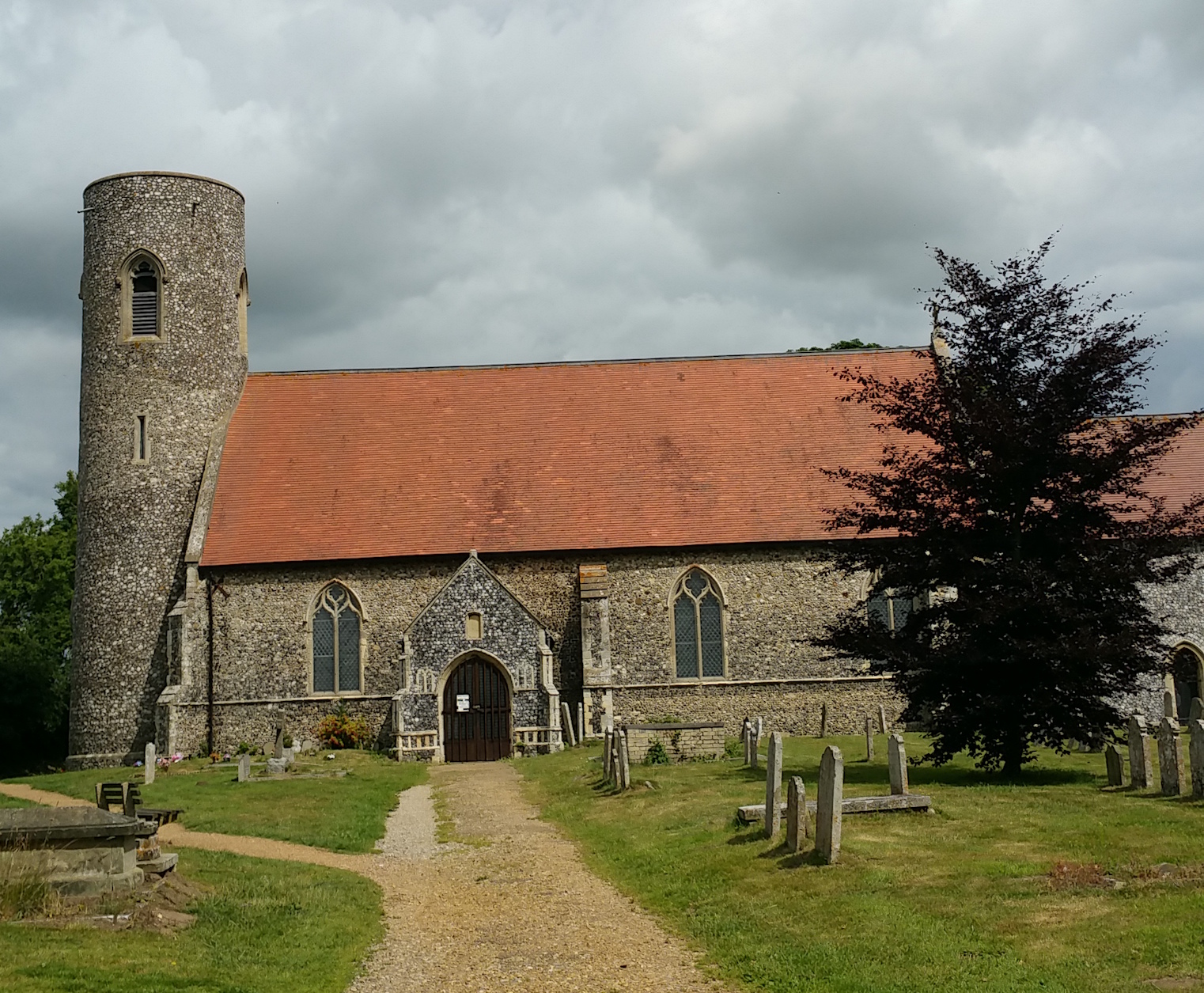
Belton Fen Images
Images are sourced within 2km of 52.575149/1.6581758 or Grid Reference TG4703. Thanks to Geograph Open Source API. All images are credited.


Belton Fen is located at Grid Ref: TG4703 (Lat: 52.575149, Lng: 1.6581758)
Administrative County: Norfolk
District: Great Yarmouth
Police Authority: Norfolk
What 3 Words
///spouse.uproot.picturing. Near Bradwell, Norfolk
Nearby Locations
Related Wikis
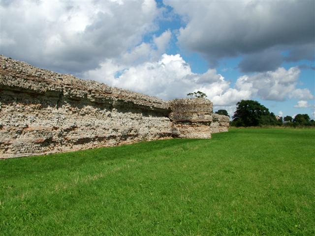
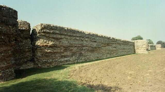
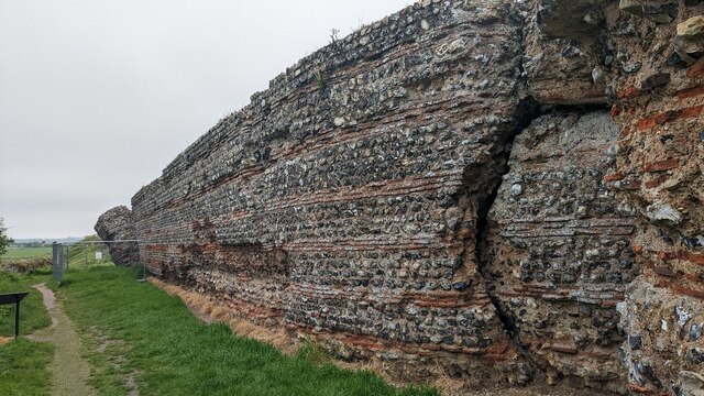
Gariannonum
Gariannonum, or Gariannum, was a Roman Saxon Shore fort in Norfolk, England. The Notitia Dignitatum, a Roman Army "order of battle" from about AD 400,...
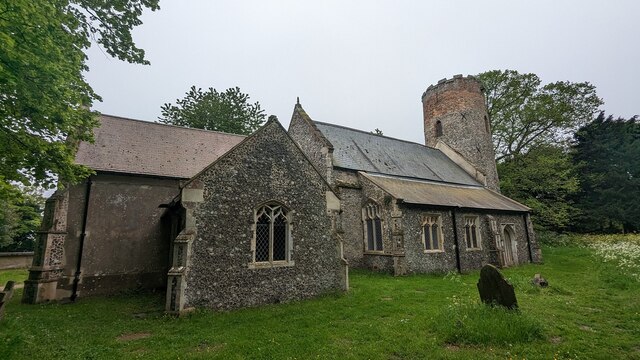
Belton with Browston
Belton with Browston is a civil parish in the Borough of Great Yarnmouth in Norfolk, England. Historically part of Suffolk, the parish consists of the...

Burgh Castle (Roman fortification)
Burgh Castle is the site of one of nine Roman Saxon Shore forts constructed in England around the 3rd century AD, to hold troops as a defence against Saxon...
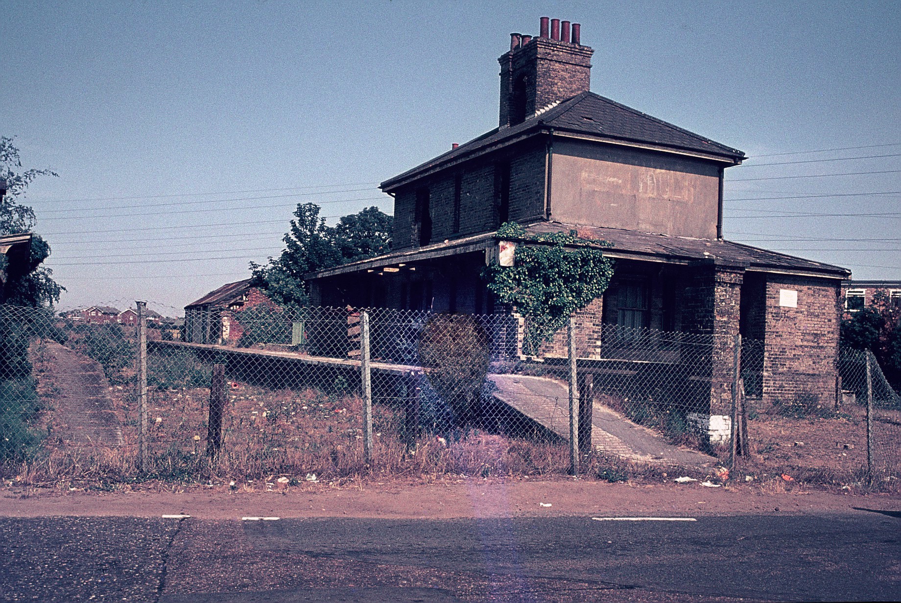
Belton and Burgh railway station
Belton & Burgh (originally Belton) was a railway station serving the Norfolk villages of Belton and Burgh Castle. It once saw trains on the main line from...
Nearby Amenities
Located within 500m of 52.575149,1.6581758Have you been to Belton Fen?
Leave your review of Belton Fen below (or comments, questions and feedback).