Six Mile Corner
Sea, Estuary, Creek in Norfolk South Norfolk
England
Six Mile Corner
Six Mile Corner is a geographical feature located in Norfolk, England. Situated at the confluence of the sea, estuary, and creek, it is an area of significant natural beauty and ecological importance.
The site gets its name from its distance of six miles from the neighboring town, which adds to the charm and allure of this coastal gem. The sea, estuary, and creek merge at this point, creating a diverse and dynamic ecosystem.
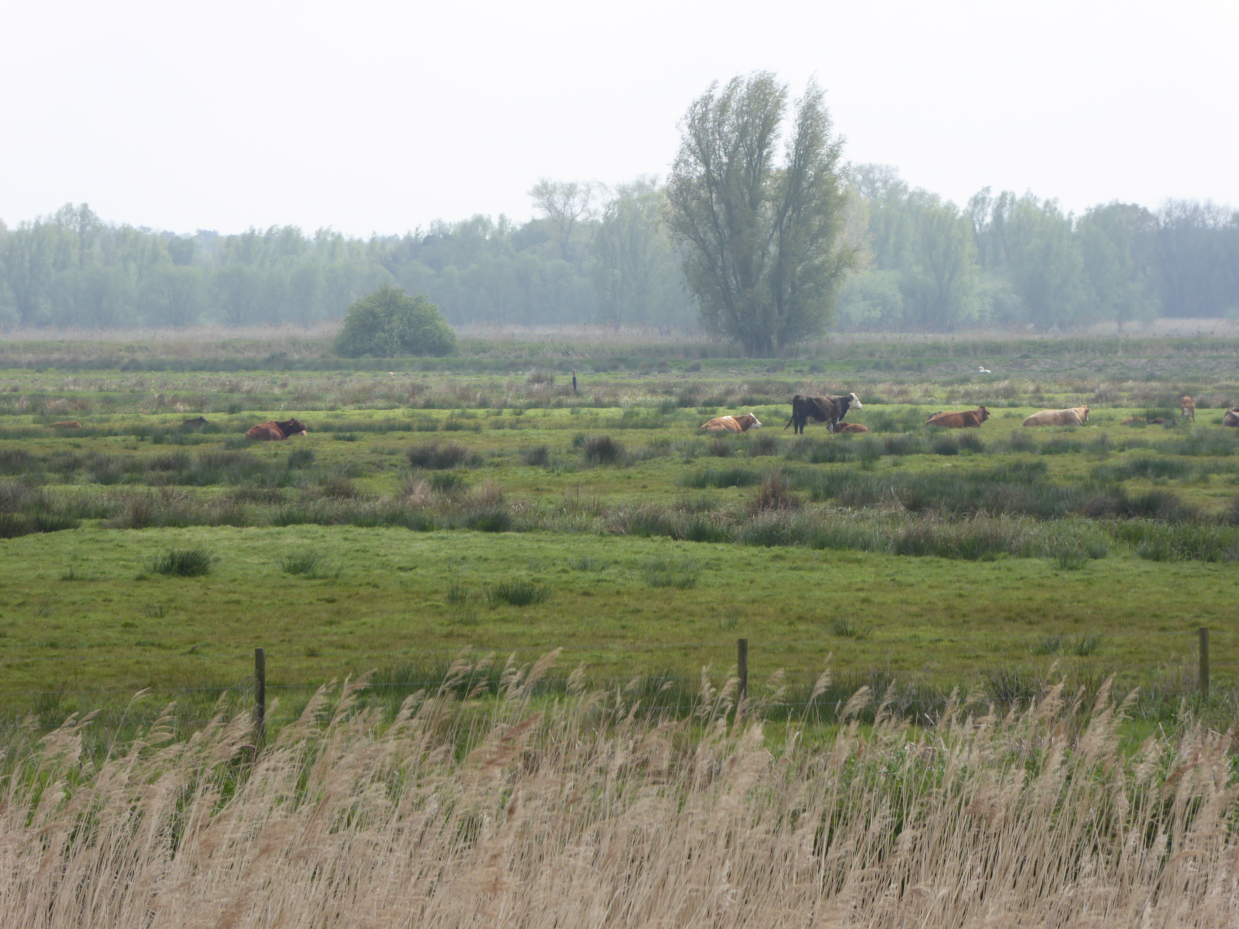
The sea at Six Mile Corner is part of the North Sea, with its powerful waves and tides crashing against the shoreline. This brings with it a wealth of marine life, including fish, crustaceans, and seabirds. The estuary, formed by the merging of rivers and the sea, provides a unique habitat for both freshwater and saltwater species. It is a vital breeding ground for various fish species, and its mudflats and salt marshes support a wide range of birdlife, including waders and waterfowl.
The creek at Six Mile Corner is a narrow, winding waterway that meanders through the surrounding countryside. Lined with tall reeds and surrounded by lush vegetation, it serves as a haven for various plant and animal species. The tranquil waters of the creek provide a peaceful setting for boating, fishing, and other recreational activities.
Six Mile Corner is a popular destination for nature lovers, birdwatchers, and outdoor enthusiasts. Its diverse ecosystem, stunning landscapes, and abundant wildlife make it a must-visit location for those seeking to connect with nature.
If you have any feedback on the listing, please let us know in the comments section below.
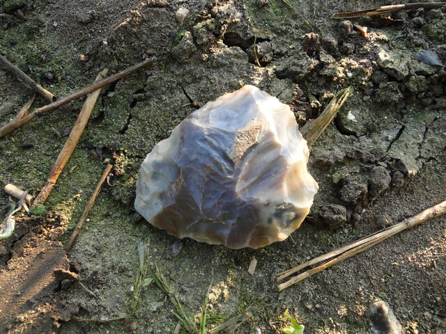
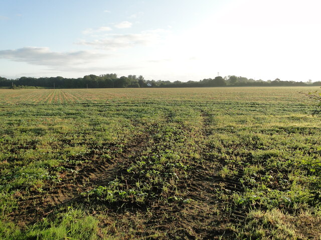
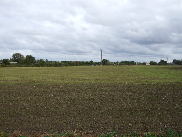
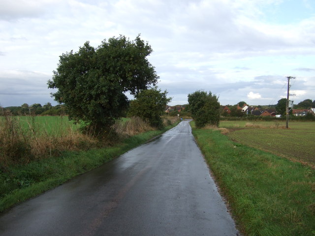
Six Mile Corner Images
Images are sourced within 2km of 52.463393/1.6350949 or Grid Reference TM4791. Thanks to Geograph Open Source API. All images are credited.


Six Mile Corner is located at Grid Ref: TM4791 (Lat: 52.463393, Lng: 1.6350949)
Administrative County: Norfolk
District: South Norfolk
Police Authority: Norfolk
What 3 Words
///eyelash.earplugs.galleries. Near Beccles, Suffolk
Nearby Locations
Related Wikis

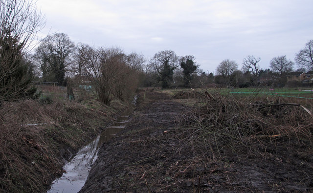
Castle Marshes
Castle Marshes is a 71 hectare nature reserve west of Lowestoft in Suffolk. It is managed by the Suffolk Wildlife Trust. It is part of the Barnby Broad...

North Cove Nature Reserve
North Cove is a 15.5-hectare (38-acre) nature reserve between Beccles and Lowestoft in Suffolk. It is managed by the owner and Beccles Bird Society, is...
Barnby Broad and Marshes
Barnby Broad and Marshes is a Site of Special Scientific Interest (SSSI) in the Waveney district of the English county of Suffolk. The site is 189.6 hectares...

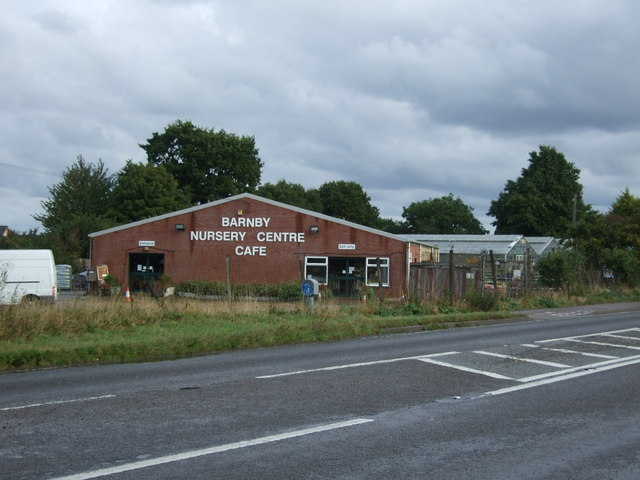
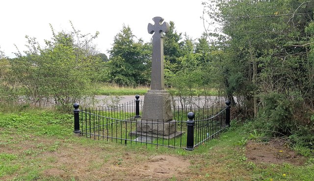
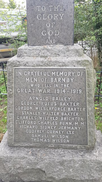
Barnby, Suffolk
Barnby is a village and civil parish in the East Suffolk district of the English county of Suffolk. The village is 5 miles (8.0 km) west of Lowestoft and...
Nearby Amenities
Located within 500m of 52.463393,1.6350949Have you been to Six Mile Corner?
Leave your review of Six Mile Corner below (or comments, questions and feedback).