Berney Arms Reach
Sea, Estuary, Creek in Norfolk South Norfolk
England
Berney Arms Reach

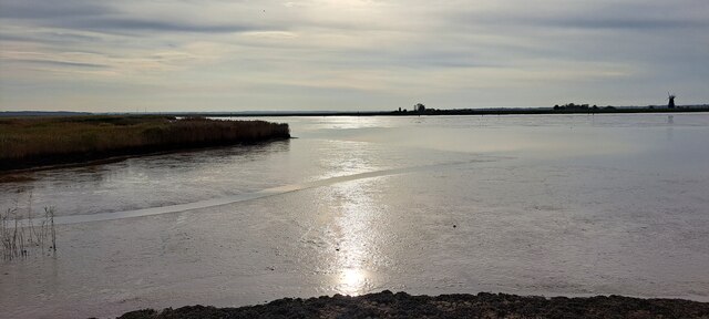
Berney Arms Reach is a remote and picturesque location situated in Norfolk, England. It is primarily known for its stunning views of the sea, estuary, and creek.
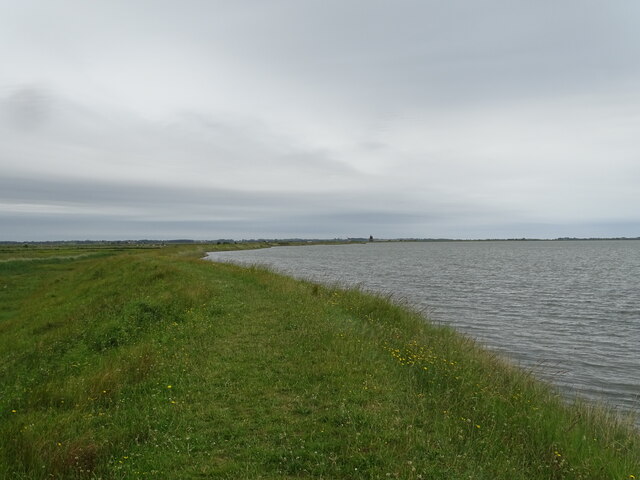
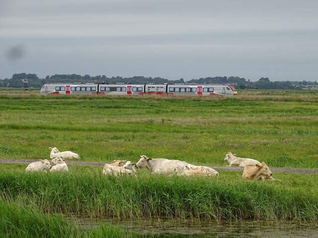
Located within the Norfolk Broads National Park, Berney Arms Reach offers visitors a unique and tranquil experience. The area is characterized by its vast, open landscape, with sweeping marshlands and panoramic views of the surrounding waterways. The sea, estuary, and creek blend seamlessly together, creating a diverse and ever-changing environment that is home to a variety of plant and animal species.
The reach is particularly famous for its birdwatching opportunities. Bird enthusiasts flock to Berney Arms Reach to catch a glimpse of the diverse range of birdlife that inhabits the area, including marsh harriers, avocets, and curlews. The vast open skies provide the perfect backdrop for birdwatchers to observe these magnificent creatures in their natural habitat.
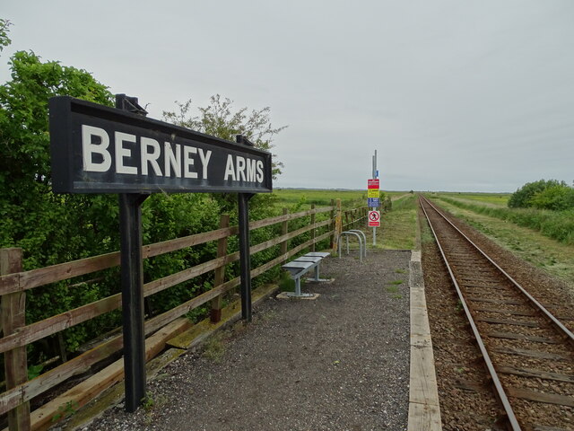
Access to Berney Arms Reach is primarily by boat or on foot, as it is a remote and secluded location. The area is home to a small railway station, which is one of the most isolated in the country. The station serves as a gateway for visitors to explore the surrounding marshlands and enjoy the breathtaking views.
In conclusion, Berney Arms Reach in Norfolk offers a peaceful and idyllic setting for nature lovers and birdwatchers alike. Its stunning sea, estuary, and creek landscapes, combined with its remote location, make it a hidden gem within the Norfolk Broads National Park.
If you have any feedback on the listing, please let us know in the comments section below.
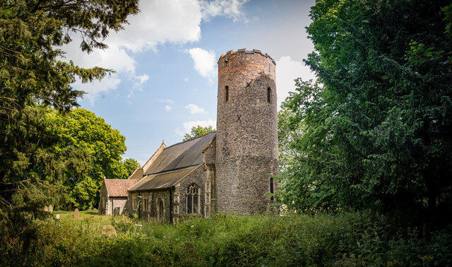
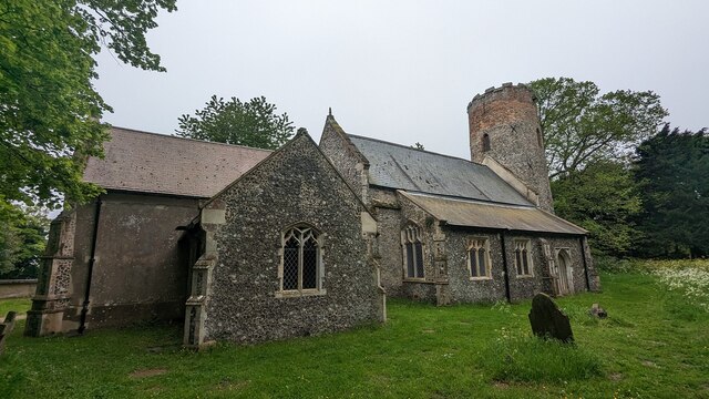
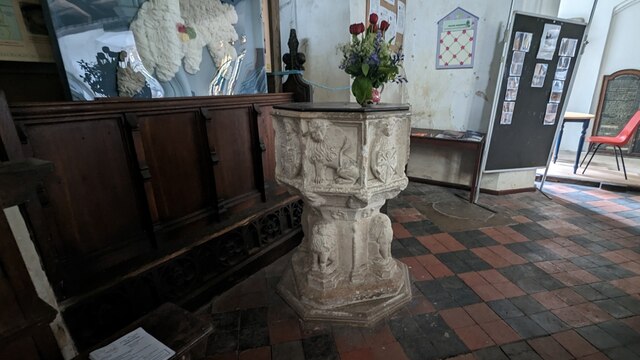
Berney Arms Reach Images
Images are sourced within 2km of 52.585371/1.6382355 or Grid Reference TG4604. Thanks to Geograph Open Source API. All images are credited.


Berney Arms Reach is located at Grid Ref: TG4604 (Lat: 52.585371, Lng: 1.6382355)
Administrative County: Norfolk
District: South Norfolk
Police Authority: Norfolk
What 3 Words
///different.blockage.symphony. Near Bradwell, Norfolk
Nearby Locations
Related Wikis
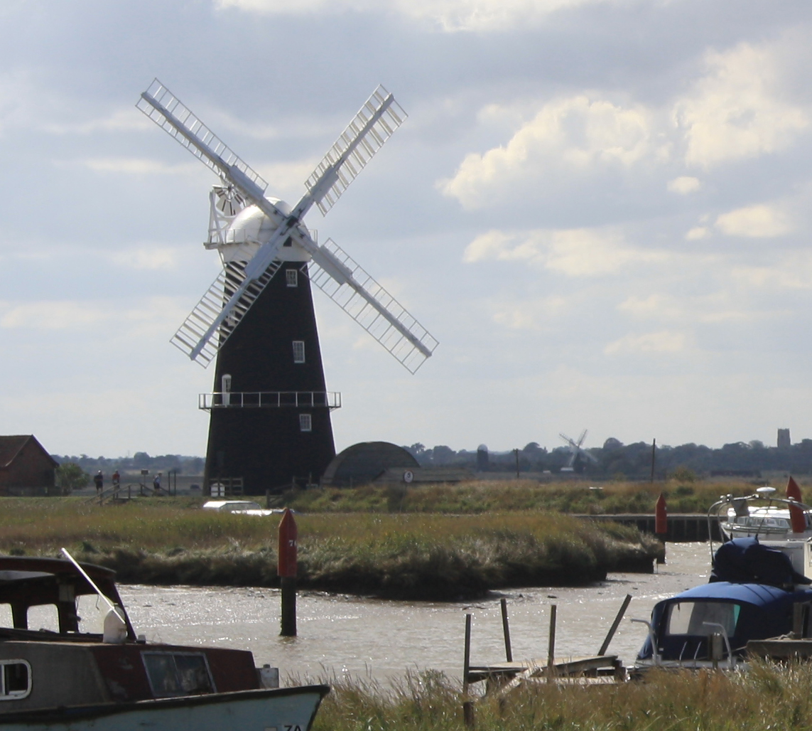
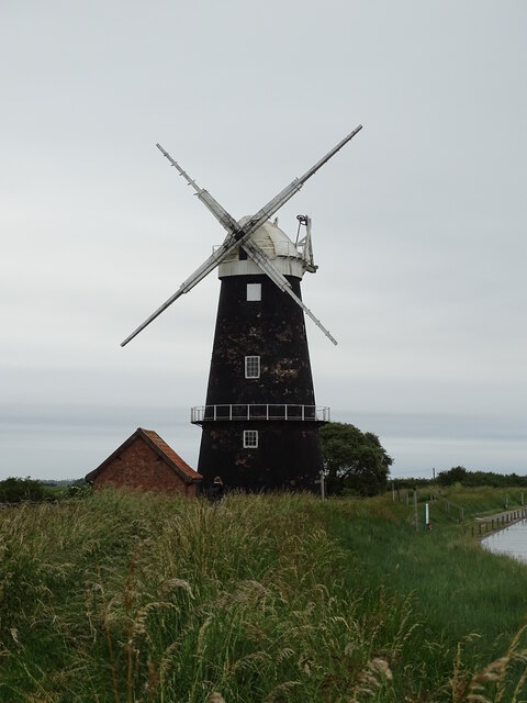
Berney Arms Windmill
Berney Arms Windmill is a tower mill located at Berney Arms alongside the River Yare at the south-western end of Breydon Water in the English county of...

Berney Marshes & Breydon Water RSPB reserve
Berney Marshes and Breydon Water RSPB reserve is a nature reserve managed by the Royal Society for the Protection of Birds (RSPB). Berney Marshes is situated...

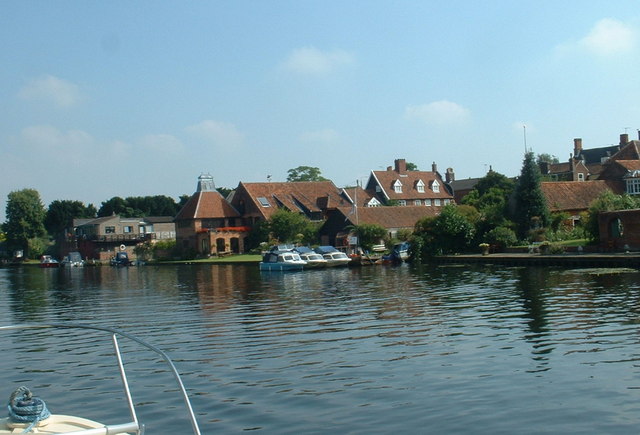
Berney Arms
Berney Arms is a settlement on the north bank of the River Yare, close to Breydon Water in the English county of Norfolk. It is part of the civil parish...

River Yare
The River Yare is a river in the English county of Norfolk. In its lower reaches it is one of the principal navigable waterways of The Broads and connects...
River Waveney
The River Waveney is a river which forms the boundary between Suffolk and Norfolk, England, for much of its length within The Broads. The "ey" part of...

Berney Arms railway station
Berney Arms railway station is on the Wherry Lines in the East of England, serving the settlement of Berney Arms on the Halvergate Marshes in Norfolk....

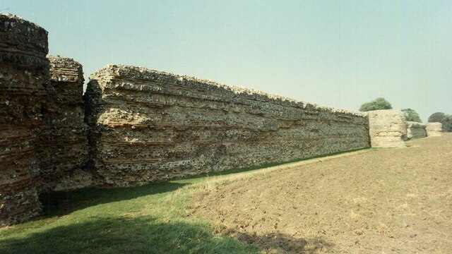
Burgh Castle (Roman fortification)
Burgh Castle is the site of one of nine Roman Saxon Shore forts constructed in England around the 3rd century AD, to hold troops as a defence against Saxon...
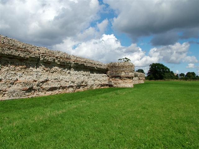
Gariannonum
Gariannonum, or Gariannum, was a Roman Saxon Shore fort in Norfolk, England. The Notitia Dignitatum, a Roman Army "order of battle" from about AD 400,...
Nearby Amenities
Located within 500m of 52.585371,1.6382355Have you been to Berney Arms Reach?
Leave your review of Berney Arms Reach below (or comments, questions and feedback).