End, North
Settlement in Cumberland Carlisle
England
End, North
End, North, Cumberland is a small village located in the county of Cumberland, England. Situated in the northern part of the county, it is nestled amidst the beautiful and picturesque landscapes of the North Pennines Area of Outstanding Natural Beauty. With its population of around 300 residents, End is a close-knit community that offers a tranquil and idyllic lifestyle.
The village is characterized by its charming stone houses and traditional architecture, which add to its quaint and rustic appeal. Its location in the heart of the North Pennines makes it an attractive destination for nature enthusiasts, hikers, and cyclists, as it boasts a plethora of walking trails and cycling routes that showcase the stunning natural scenery of the area.
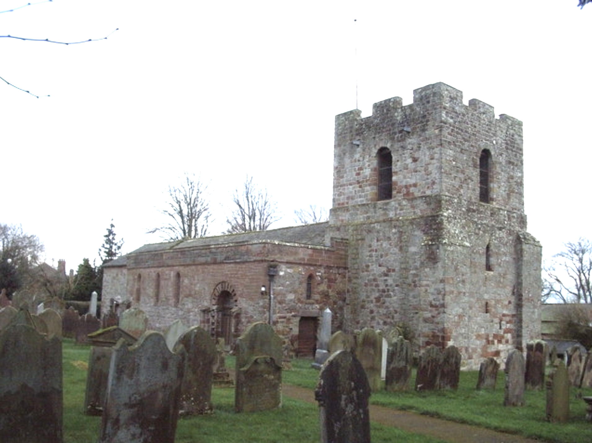
End is also home to a historic church, which is a significant landmark in the village. St. Andrew's Church, dating back to the 12th century, is a magnificent example of medieval architecture and attracts visitors interested in its rich history.
Although small in size, End offers a range of amenities to its residents and visitors. It has a local pub, which serves as a social hub for the community, as well as a convenience store for everyday needs. The village also hosts various community events and activities throughout the year, fostering a strong sense of community spirit and togetherness.
Overall, End, North, Cumberland is a charming and peaceful village that provides a serene haven for those seeking a slower-paced lifestyle amidst the beauty of the North Pennines.
If you have any feedback on the listing, please let us know in the comments section below.
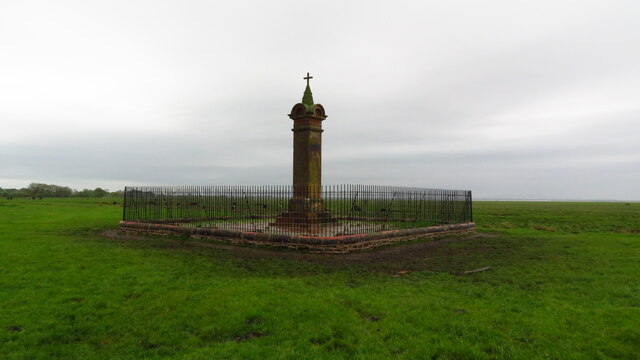
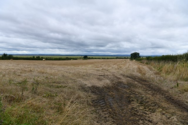
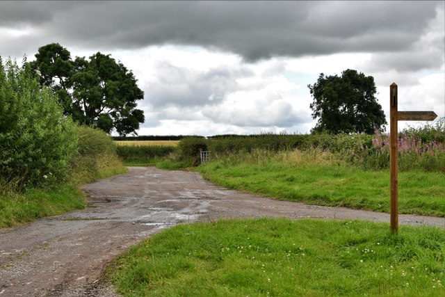
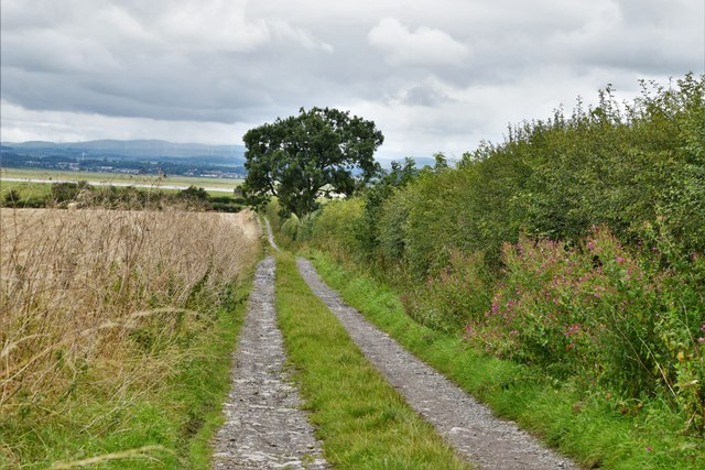
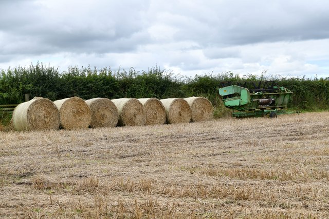
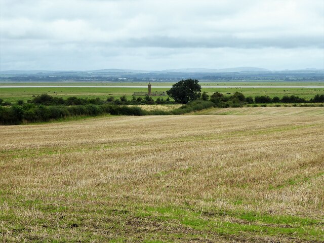
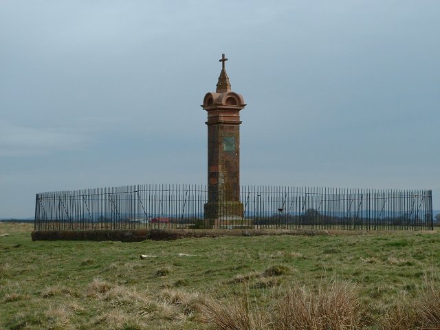
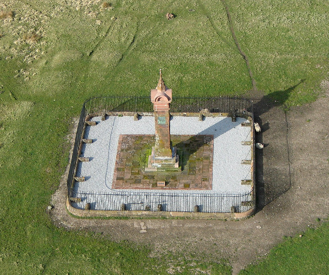
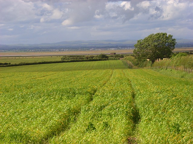
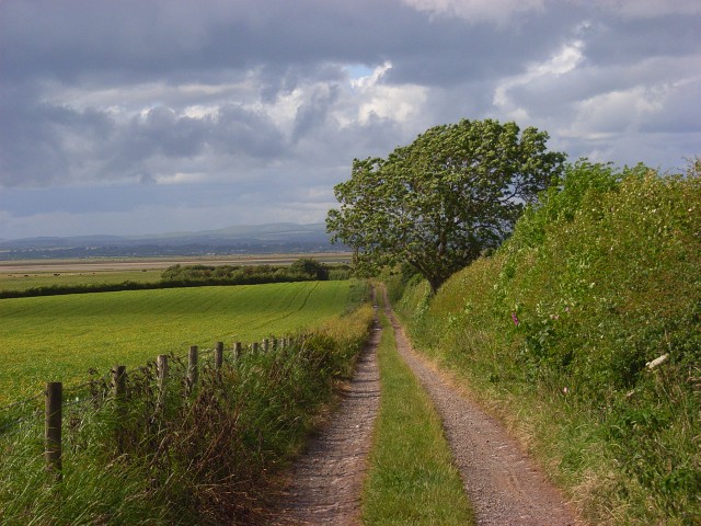
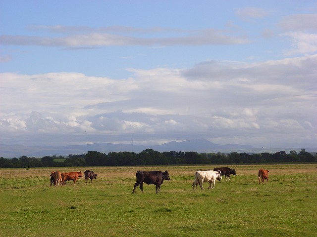
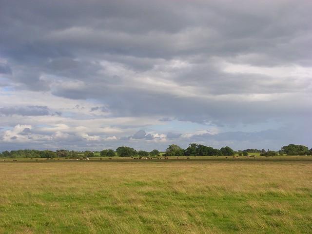
End, North Images
Images are sourced within 2km of 54.923882/-3.048665 or Grid Reference NY3259. Thanks to Geograph Open Source API. All images are credited.


End, North is located at Grid Ref: NY3259 (Lat: 54.923882, Lng: -3.048665)
Administrative County: Cumbria
District: Carlisle
Police Authority: Cumbria
What 3 Words
///annotated.gamer.fillings. Near Gretna, Dumfries & Galloway
Nearby Locations
Related Wikis
Burgh by Sands
Burgh by Sands ( ) is a village and civil parish in the Cumberland unitary authority area of Cumbria, England, situated near the Solway Firth. The parish...

North End, Cumbria
North End is the northernmost part of the village of Burgh by Sands in the City of Carlisle district of Cumbria, England. == References ==
St Michael's Church, Burgh by Sands
St Michael's Church is in the village of Burgh by Sands, Cumbria, England. It is an active Anglican parish church in the deanery of Carlisle, the archdeaconry...

Aballava
Aballava or Aballaba (with the modern name of Burgh by Sands) was a Roman fort on Hadrian's Wall, between Petriana (Stanwix) to the east and Coggabata...

Milecastle 72
Milecastle 72 (Fauld Farm) was one of a series of Milecastles or small fortlets built at intervals of approximately one Roman mile along Hadrian's Wall...
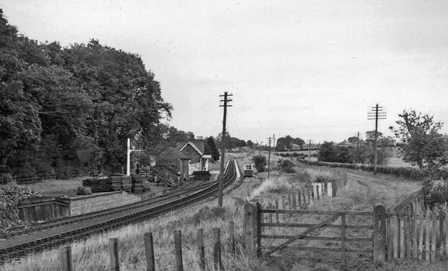
Burgh-by-Sands railway station
Burgh-by-Sands railway station was originally named Burgh (pronounced "Bruff"). It opened in 1854 on the Port Carlisle Railway branch and later the Silloth...

Milecastle 71
Milecastle 71 (Wormanby) was one of a series of Milecastles or small fortlets built at intervals of approximately one Roman mile along Hadrian's Wall...
Monkhill, Cumbria
Monkhill is a small village in the civil parish of Beaumont, in the City of Carlisle district, in the county of Cumbria, England. Nearby settlements include...
Nearby Amenities
Located within 500m of 54.923882,-3.048665Have you been to End, North?
Leave your review of End, North below (or comments, questions and feedback).