Sandford Withy Bed

Wood, Forest in Gloucestershire Forest of Dean

England

Sandford Withy Bed

Footpath beside Cone Brook
Footpath beside Cone Brook Credit: JThomas

Sandford Withy Bed is a small village located in the county of Gloucestershire, England. Situated within the picturesque Forest of Dean, this rural community is surrounded by dense woodlands and natural beauty. The village is part of the Forest of Dean district, which is known for its rich history and stunning landscapes.

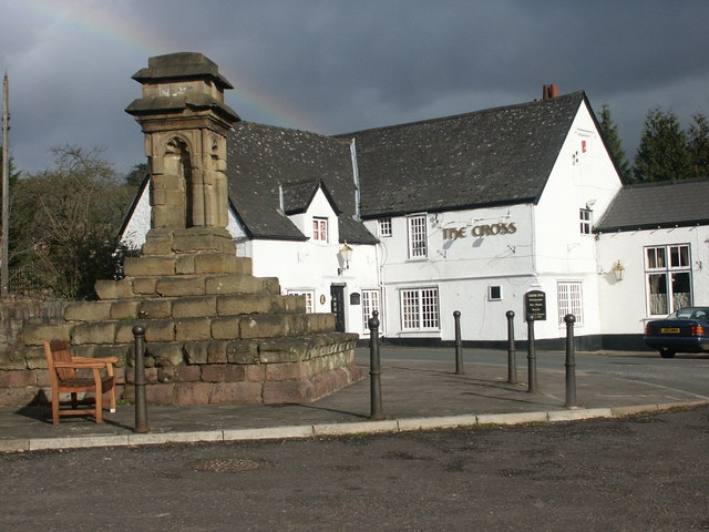
Sandford Withy Bed is a close-knit community, with a population of around 300 residents. The village is characterized by its charming cottages, many of which date back several centuries, giving it a traditional and timeless feel. The area is predominantly residential, with a few local businesses, including a village shop and a pub, providing amenities for the residents.

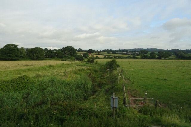
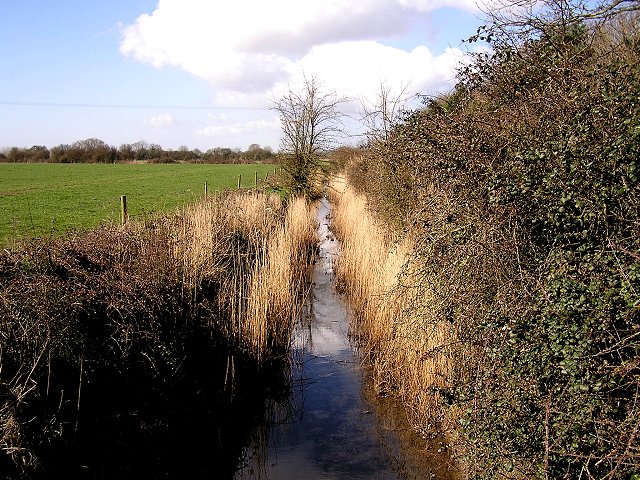
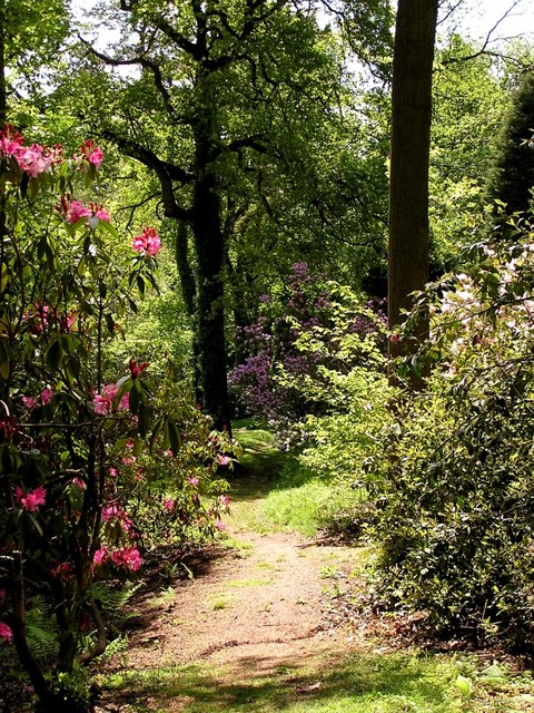
The village is ideally situated for those who enjoy outdoor activities, as it is located within close proximity to the Forest of Dean, a popular destination for walkers, cyclists, and nature enthusiasts. The forest offers a wide range of trails and paths, allowing visitors to explore the diverse flora and fauna that inhabit the area.

Sandford Withy Bed also benefits from its proximity to the River Wye, which flows nearby. The river is a popular spot for fishing and boating, attracting both locals and tourists. The surrounding woodlands provide ample opportunities for wildlife spotting, with species such as deer, foxes, and birds of prey often seen in the area.

Overall, Sandford Withy Bed offers a peaceful and idyllic setting for those seeking a rural retreat. Its natural beauty, coupled with its close-knit community, make it a desirable place to live or visit for those who appreciate the tranquility of the countryside.

If you have any feedback on the listing, please let us know in the comments section below.

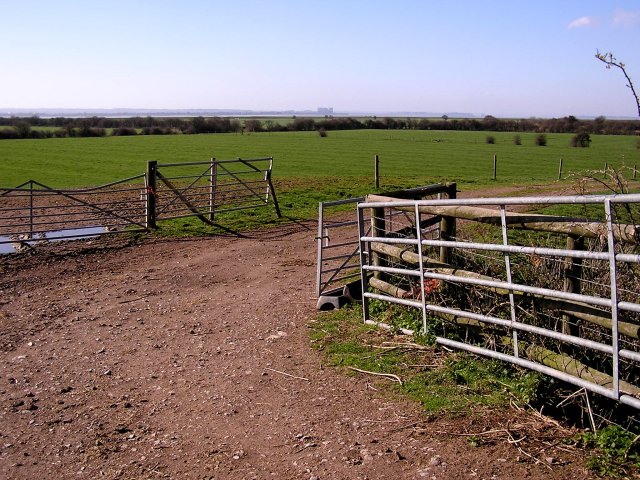
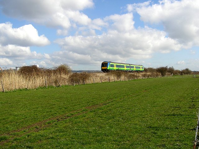
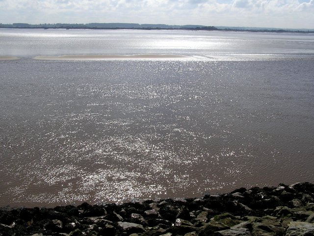
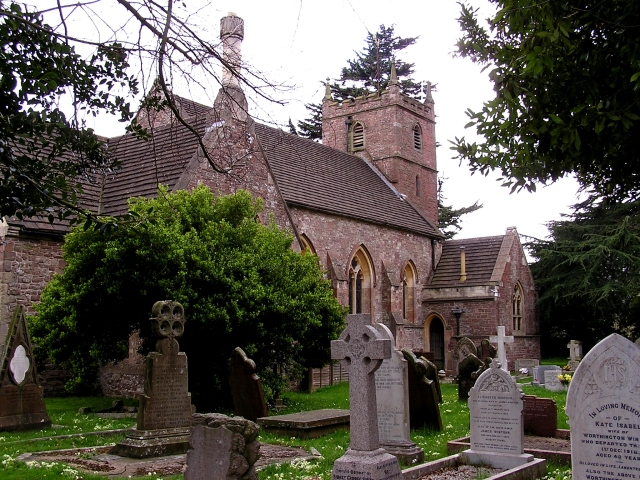
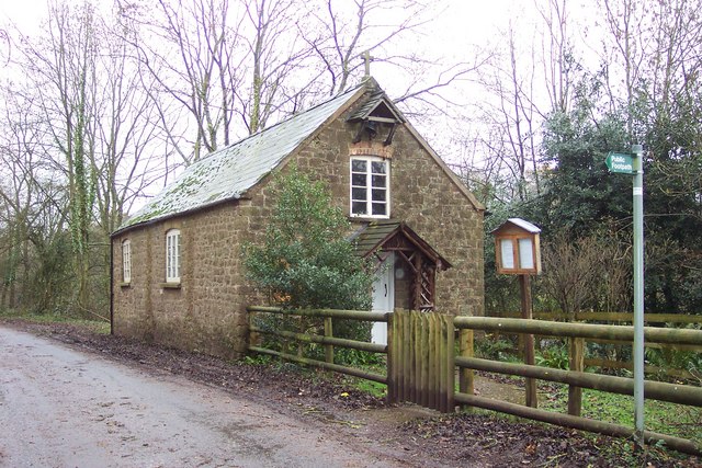
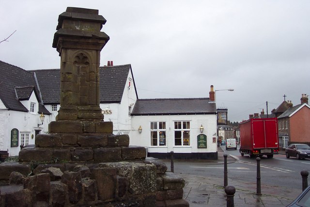
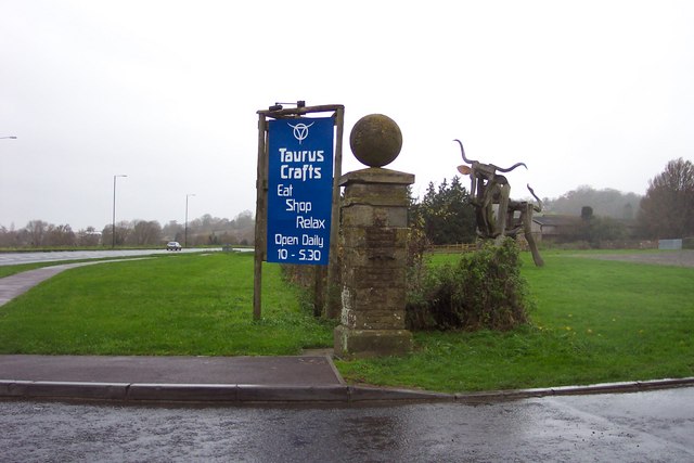
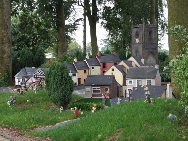
Sandford Withy Bed Images

Images are sourced within 2km of 51.709138/-2.5649316 or Grid Reference SO6101. Thanks to Geograph Open Source API. All images are credited.

Footpath beside Cone Brook
The River Severn On the old map this is all land. Ahuge chunk has been taken out of the farmland.
The River Severn
On the old map this is all land. Ahuge chunk has been taken out of the farmland.
Flood Bank Despite all the flotsam washed up against it, it's hard to imagine the Severn flooding to this extent.
Flood Bank
Despite all the flotsam washed up against it, it's hard to imagine the Severn flooding to this extent.
The River Severn What looks like a pier in the distance is actually a fishery, baskets are placed in them and the fish get trapped at full tide. To the left is Oldbury Nuclear Power Station.
The River Severn
What looks like a pier in the distance is actually a fishery, baskets are placed in them and the fish get trapped at full tide. To the left is Oldbury Nuclear Power Station.
Gloucester to Chepstow Railway Line In the upper left of the picture can just be seen the landing strip that runs beside the railway.
Gloucester to Chepstow Railway Line
In the upper left of the picture can just be seen the landing strip that runs beside the railway.
Drainage Ditch Close to the River Severn nr Aylburton.
Drainage Ditch
Close to the River Severn nr Aylburton.
Farmland in the Severn Vale Typical shot of the flat farmland close to the Severn, in the distance can be seen Oldbury Nuclear Power Station.
Farmland in the Severn Vale
Typical shot of the flat farmland close to the Severn, in the distance can be seen Oldbury Nuclear Power Station.
Gloucester to Chepstow Railway Line This square is basically flat farmland with a railway running through it.
Gloucester to Chepstow Railway Line
This square is basically flat farmland with a railway running through it.
The River Severn At this point there is a fine line between River and Sea, the seaweed on the rocks can attest to this.
The River Severn
At this point there is a fine line between River and Sea, the seaweed on the rocks can attest to this.
Alvington Church Built using local red sandstone.
Alvington Church
Built using local red sandstone.
Lydney Park Gardens Lydney Park Gardens is open in spring and has many rhododendrons, azaleas and magnolias.
Lydney Park Gardens
Lydney Park Gardens is open in spring and has many rhododendrons, azaleas and magnolias.
Aylburton Cross. The cross dates from the 14th century, and used as a preaching cross by travelling Friars to preach to the public.
The cross was repaired in 1841, and moved in the early 1960s in order to widen the A48, Chepstow to Lydney road.
Aylburton Cross.
The cross dates from the 14th century, and used as a preaching cross by travelling Friars to preach to the public. The cross was repaired in 1841, and moved in the early 1960s in order to widen the A48, Chepstow to Lydney road.
Approaching Aylburton village from the north.
Telephone box and lane near Aylburton Common. The track ahead leads to Pool Farm.
Telephone box and lane near Aylburton Common.
The track ahead leads to Pool Farm.
Aylburton Common Mission Church Built in 1867 this small building is still functioning as a place of worship.
Aylburton Common Mission Church
Built in 1867 this small building is still functioning as a place of worship.
The Cross and Cross public house. Beside the busy A 48 at Aylburton.
The Cross and Cross public house.
Beside the busy A 48 at Aylburton.
Entrance to Taurus Crafts. This arresting sight beside the A48 near Lydney is a wooden bull 'sculpture'.
Entrance to Taurus Crafts.
This arresting sight beside the A48 near Lydney is a wooden bull 'sculpture'.
Model village Can't be sure of direction so have entered north as default.
Model village
Can't be sure of direction so have entered north as default.
Show me another place!

Sandford Withy Bed is located at Grid Ref: SO6101 (Lat: 51.709138, Lng: -2.5649316)

Administrative County: Gloucestershire

District: Forest of Dean

Police Authority: Gloucestershire

What 3 Words

///struggle.firework.boots. Near Lydney, Gloucestershire

Related Wikis

Aylburton

Aylburton is a village and civil parish in the Forest of Dean district of Gloucestershire, England, on the A48 road about two miles south-west of Lydney...

Alvington, Gloucestershire

Alvington is a village and civil parish in the Forest of Dean in Gloucestershire, England, situated on the A48 road, six miles north-east of Chepstow in...

Lydney Park

Lydney Park is a 17th-century country estate surrounding Lydney House, located at Lydney in the Forest of Dean district in Gloucestershire, England. It...

The Dean Academy

The Dean Academy (formerly Whitecross School) is a mixed secondary school located in Lydney in the English county of Gloucestershire. == Location == The...

Nearby Amenities

Located within 500m of 51.709138,-2.5649316
Bus Stop
Aylburton Common Turn
Bench: no
Bin: no
Lit: yes
Naptan AtcoCode: 1600GL209
Naptan Bearing: SW
Naptan CommonName: Aylburton Common Turn
Naptan Indicator: Opp
Naptan NaptanCode: gloagmjw
Naptan Street: A48
Naptan Verified: no
Shelter: yes
Source: naptan_import
Tactile Paving: no
Lat/Long: 51.709758/-2.5610661
Bus Stop
Aylburton Common Turn
Bench: yes
Bin: no
Lit: yes
Naptan AtcoCode: 1600GL210
Naptan Bearing: NE
Naptan CommonName: Aylburton Common Turn
Naptan NaptanCode: gloagmpg
Naptan Street: A48
Naptan Verified: no
Shelter: yes
Source: naptan_import
Tactile Paving: no
Lat/Long: 51.7101743/-2.5604923
Generator Method: wind_turbine
Generator Output Electricity: yes
Generator Source: wind
Generator Type: horizontal_axis
Power: generator
Lat/Long: 51.705744/-2.563734
The data included in this document is from www.openstreetmap.org. The data is made available under ODbL.

Have you been to Sandford Withy Bed?

Leave your review of Sandford Withy Bed below (or comments, questions and feedback).