Bowstrings Wood

Wood, Forest in Cumberland Eden

England

Bowstrings Wood

Repurposed telephone box in Gamblesby With the ubiquity of the mobile phone, telephone boxes all over the UK have become redundant though many have found new uses. As here in Gamblesby, a storage location for defibrillators is a common one.
Repurposed telephone box in Gamblesby Credit: Trevor Littlewood

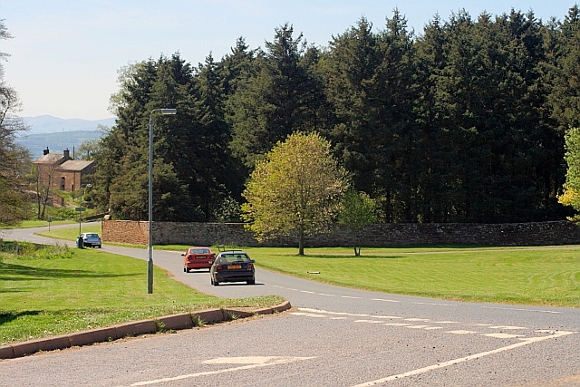
Bowstrings Wood is a picturesque forest located in Cumberland, a county in the northwest of England. Covering an area of approximately 500 acres, it is a well-preserved and diverse woodland that offers a haven for both wildlife and nature enthusiasts alike.

The wood is primarily composed of mixed deciduous trees, including oak, birch, and beech, which create a rich and vibrant canopy. The forest floor is adorned with a variety of wildflowers, ferns, and mosses, adding to its natural beauty.

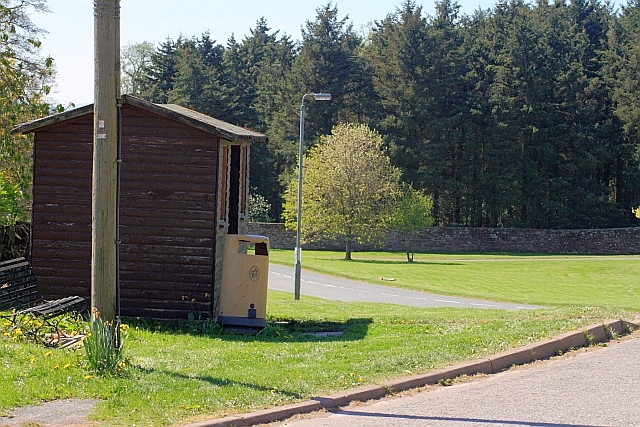
Bowstrings Wood is crisscrossed by a network of well-maintained walking trails, allowing visitors to explore and discover its hidden treasures. These trails lead to several viewpoints that offer stunning vistas of the surrounding countryside, making it an ideal destination for hikers and photographers.

The forest is home to a wide range of wildlife, including deer, foxes, squirrels, and a plethora of bird species. Birdwatchers will be delighted by the opportunity to spot woodland birds such as woodpeckers, owls, and various songbirds. The wood also provides important habitats for rare and endangered species, contributing to its ecological significance.

Bowstrings Wood is managed by the local forestry commission, ensuring its preservation and sustainability. Visitors can enjoy the wood's serene atmosphere and natural wonders throughout the year, as it undergoes transformations with each season.

Overall, Bowstrings Wood is a captivating forest that offers a tranquil escape from the hustle and bustle of everyday life. With its diverse flora and fauna, well-marked trails, and breathtaking views, it is a must-visit destination for nature enthusiasts seeking solace in the heart of Cumberland.

If you have any feedback on the listing, please let us know in the comments section below.

Bowstrings Wood Images

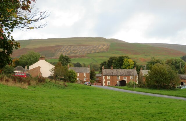
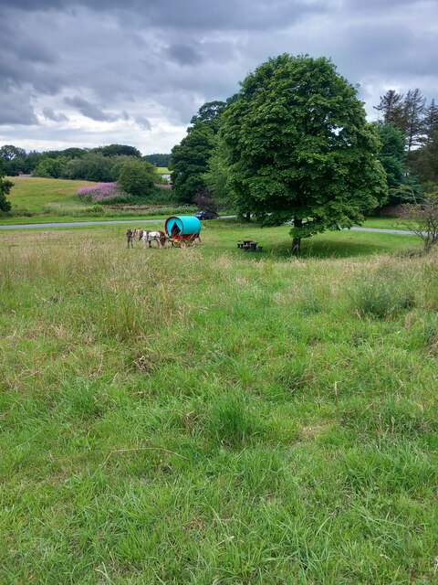
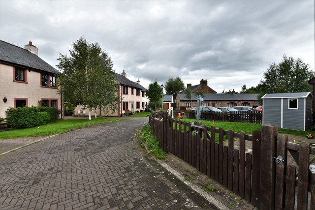
Images are sourced within 2km of 54.732887/-2.6061398 or Grid Reference NY6137. Thanks to Geograph Open Source API. All images are credited.
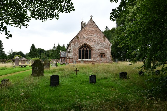
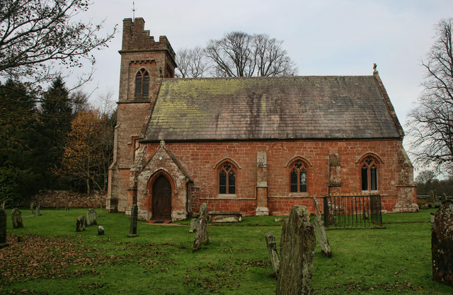
Repurposed telephone box in Gamblesby With the ubiquity of the mobile phone, telephone boxes all over the UK have become redundant though many have found new uses. As here in Gamblesby, a storage location for defibrillators is a common one.
Repurposed telephone box in Gamblesby
With the ubiquity of the mobile phone, telephone boxes all over the UK have become redundant though many have found new uses. As here in Gamblesby, a storage location for defibrillators is a common one.
Public way leaving Gamblesby The walled lane leaves Gamblesby and heads almost exactly to the east, climbing to meet the A686. Here, the 'public way', (which on OS mapping uses the map symbol for a  byway), is emerging from overarching trees.
Public way leaving Gamblesby
The walled lane leaves Gamblesby and heads almost exactly to the east, climbing to meet the A686. Here, the 'public way', (which on OS mapping uses the map symbol for a byway), is emerging from overarching trees.
Grassy way separating fields near Gamblesby The fields both appear to be of stubble so presumably the growth in them not an intended crop. The red tinge is due to extensive amounts of red leg - Persicaria maculosa.
Grassy way separating fields near Gamblesby
The fields both appear to be of stubble so presumably the growth in them not an intended crop. The red tinge is due to extensive amounts of red leg - Persicaria maculosa.
Across the green at Melmerby If travelling east on the A686 from Penrith, Melmerby is the last village in the Vale of Eden before the long climb to Hartside Cross. The view is east across the village green with the western flank of the Pennines in the background.
Across the green at Melmerby
If travelling east on the A686 from Penrith, Melmerby is the last village in the Vale of Eden before the long climb to Hartside Cross. The view is east across the village green with the western flank of the Pennines in the background.
Church of St John the Baptist, Melmerby Not a very interesting looking church from the outside, and Pevsner [Buildings of England - Cumberland & Westmorland] describes it in just 7 lines, but even he seemed unsure if most of the building is of 1849 or 1895.
Church of St John the Baptist, Melmerby
Not a very interesting looking church from the outside, and Pevsner [Buildings of England - Cumberland & Westmorland] describes it in just 7 lines, but even he seemed unsure if most of the building is of 1849 or 1895.
Signpost in Gamblesby Cumbria has done well to retain many of the old cast iron Cumberland county council signposts, such as this one in Gamblesby.
Signpost in Gamblesby
Cumbria has done well to retain many of the old cast iron Cumberland county council signposts, such as this one in Gamblesby.
OS benchmark OS benchmark on corner of private house.  Melmerby House
OS benchmark
OS benchmark on corner of private house. Melmerby House
Vardo on the village green Vardo/gypsy caravan on Melmerby village green
Vardo on the village green
Vardo/gypsy caravan on Melmerby village green
Melmerby: Townhead Court
Melmerby: The Shepherds Inn PH
Melmerby: Church Road
Melmerby, St. John the Baptist's Church: Eastern aspect
Shepherds Inn, Melmerby
A686 at Melmerby Looking west towards Penrith.
A686 at Melmerby
Looking west towards Penrith.
Bus Stop, Melmerby Village Green
Garrigill Bank Cows on land near Garrigill Bank.
Garrigill Bank
Cows on land near Garrigill Bank.
Holm Beck Holm Beck near Melmerby.
Holm Beck
Holm Beck near Melmerby.
St John the Baptist's Church St John the Baptist's Church in Melmerby.
St John the Baptist's Church
St John the Baptist's Church in Melmerby.
Show me another place!

Bowstrings Wood is located at Grid Ref: NY6137 (Lat: 54.732887, Lng: -2.6061398)

Administrative County: Cumbria

District: Eden

Police Authority: Cumbria

What 3 Words

///salmon.muffin.remarking. Near Penrith, Cumbria

Related Wikis

Melmerby, Cumbria

Melmerby is a village and civil parish in the Eden district, in the county of Cumbria, England. It is a small village with a population of around 200....

St John's Church, Gamblesby

St. John's Church was a Victorian parish Church of England church in the village of Gamblesby, Cumbria, England.The Gothic Revival-style church, with tall...

Gamblesby

Gamblesby is a village near Melmerby, and former civil parish, now in the parish of Glassonby, in the Westmorland and Furness district, in the ceremonial...

Unthank, Glassonby

Unthank is a village near Gamblesby in the civil parish of Glassonby in Cumbria, England. It is first mentioned in writing as Unthanke in 1332. == See... ==

Nearby Amenities

Located within 500m of 54.732887,-2.6061398
Note: National speed limit sign NW-bound (approximate location)
Lat/Long: 54.7295358/-2.6076843
Give Way
Direction: backward
Lat/Long: 54.7308772/-2.5992065
Leisure: picnic_table
Lat/Long: 54.7295193/-2.6010329
Bench
Backrest: yes
Seats: 2
Lat/Long: 54.7296996/-2.6007373
Bench
Backrest: yes
Seats: 2
Lat/Long: 54.7297785/-2.6007207
Bench
Backrest: yes
Seats: 2
Lat/Long: 54.7297508/-2.6011844
Generator Method: photovoltaic
Generator Output Electricity: yes
Generator Source: solar
Generator Type: solar_photovoltaic_panel
Location: roof
Power: generator
Lat/Long: 54.7306895/-2.6048841
Generator Method: photovoltaic
Generator Output Electricity: yes
Generator Source: solar
Generator Type: solar_photovoltaic_panel
Location: roof
Power: generator
Lat/Long: 54.7307592/-2.6047178
Generator Method: photovoltaic
Generator Output Electricity: yes
Generator Source: solar
Generator Type: solar_photovoltaic_panel
Location: roof
Power: generator
Lat/Long: 54.7307174/-2.6046266
Generator Method: photovoltaic
Generator Output Electricity: yes
Generator Source: solar
Generator Type: solar_photovoltaic_panel
Location: roof
Power: generator
Lat/Long: 54.730626/-2.6045059
Generator Method: photovoltaic
Generator Output Electricity: yes
Generator Source: solar
Generator Type: solar_photovoltaic_panel
Location: roof
Power: generator
Lat/Long: 54.7302837/-2.6008179
Give Way
Direction: forward
Lat/Long: 54.7298739/-2.6018868
Bicycle Parking
Access: yes
Bicycle Parking: stands
Capacity: 8
Covered: no
Fee: no
Operator: Melmerby Village Hall
Lat/Long: 54.7300252/-2.6032802
Power: pole
Transformer: yes
Lat/Long: 54.7302706/-2.6032236
Power: pole
Lat/Long: 54.730653/-2.6024883
Power: pole
Lat/Long: 54.7313672/-2.6011309
Little Todhills
Place: isolated_dwelling
Lat/Long: 54.7360254/-2.6048521
Power: pole
Lat/Long: 54.7352802/-2.5998611
Power: pole
Lat/Long: 54.734306/-2.5993642
Power: pole
Lat/Long: 54.7337162/-2.5990691
Power: pole
Lat/Long: 54.7327187/-2.5985698
Power: pole
Lat/Long: 54.7362092/-2.6019091
Power: pole
Lat/Long: 54.7361975/-2.6031878
Power: pole
Lat/Long: 54.7361975/-2.6047465
Power: pole
Lat/Long: 54.732308/-2.5993642
Entrance: main
Lat/Long: 54.7300133/-2.6033872
Man Made: utility_pole
Lat/Long: 54.7301121/-2.6025641
Generator Method: photovoltaic
Generator Output Electricity: yes
Generator Source: solar
Generator Type: solar_photovoltaic_panel
Location: roof
Power: generator
Lat/Long: 54.7297989/-2.6024405
Man Made: utility_pole
Lat/Long: 54.7302006/-2.6018272
Man Made: utility_pole
Lat/Long: 54.730263/-2.6013311
Man Made: utility_pole
Lat/Long: 54.7302831/-2.6010429
Man Made: utility_pole
Lat/Long: 54.7300358/-2.6031897
The data included in this document is from www.openstreetmap.org. The data is made available under ODbL.

Have you been to Bowstrings Wood?

Leave your review of Bowstrings Wood below (or comments, questions and feedback).