Townfoot
Settlement in Cumberland Eden
England
Townfoot
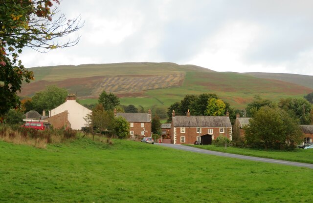
Townfoot is a small village located in the county of Cumberland, in the northwestern region of England. Situated in the picturesque countryside, Townfoot is surrounded by rolling hills and lush green fields, making it an idyllic destination for nature lovers and those seeking a tranquil retreat.
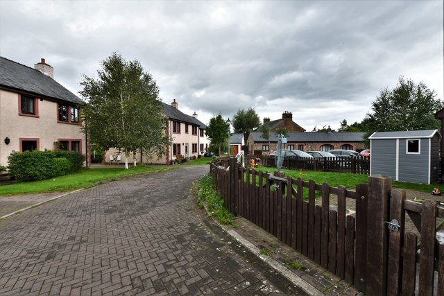
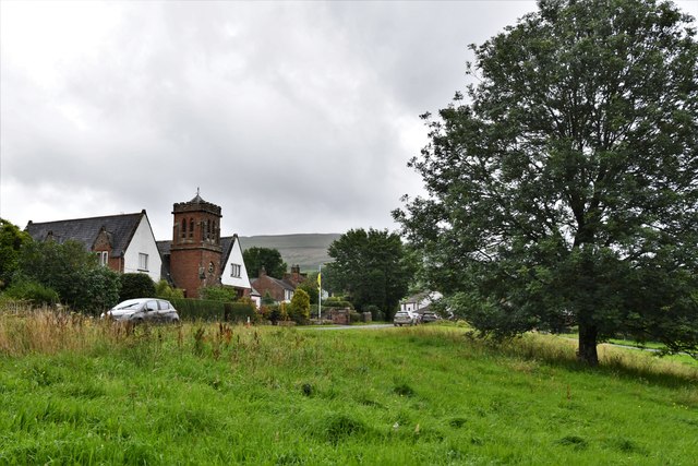
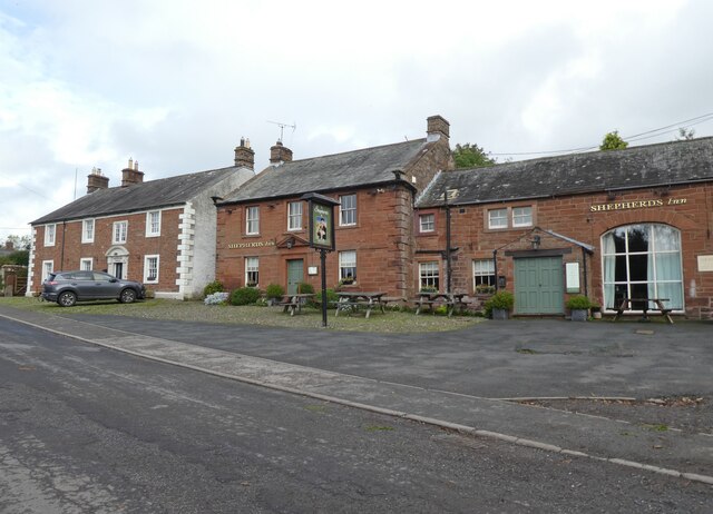
The village is home to a close-knit community, with a population of approximately 300 residents. The architecture of Townfoot is predominantly traditional, featuring charming stone cottages and well-preserved buildings that reflect its rich history. The village is steeped in a sense of heritage, with some structures dating back several centuries.
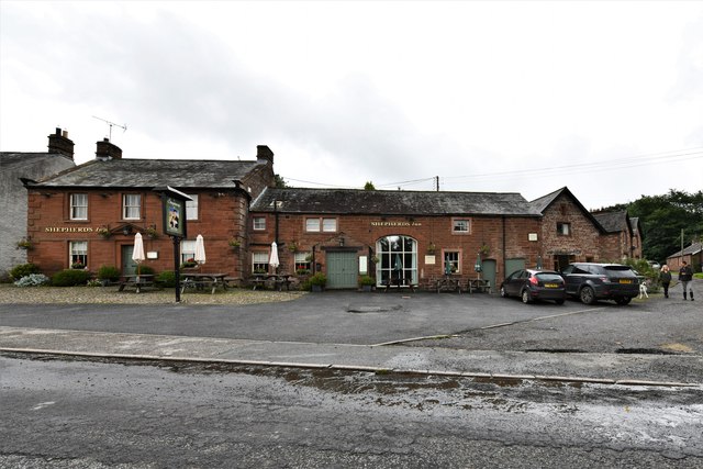
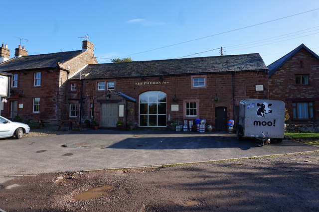
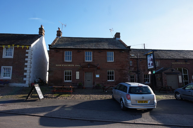
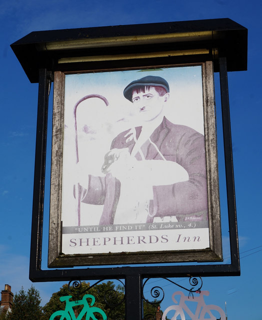
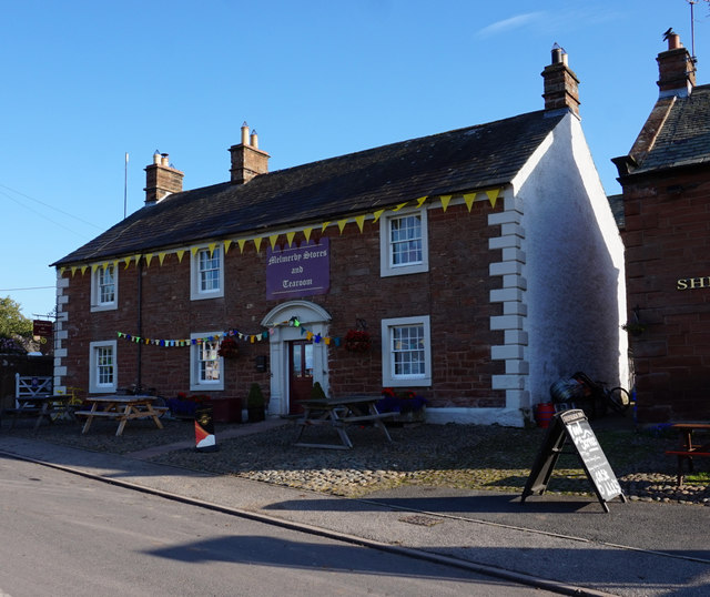
Townfoot offers a range of amenities to cater to the needs of its residents. It boasts a local primary school, a village hall, and a small grocery store, ensuring that essential services are readily available. Additionally, there is a quaint pub where locals and visitors can gather to socialize and enjoy a drink or a meal.
Nature enthusiasts will find an abundance of outdoor activities in and around Townfoot. The village is surrounded by scenic walking trails, offering breathtaking views of the countryside. The nearby rivers and lakes provide opportunities for fishing and boating, adding to the recreational options available to residents and visitors alike.
Overall, Townfoot serves as a peaceful and charming retreat, offering a balance between rural living and modern conveniences. With its stunning natural surroundings and strong community spirit, it is a place that captures the essence of traditional English village life.
If you have any feedback on the listing, please let us know in the comments section below.
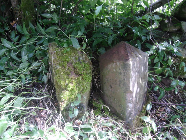
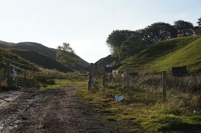
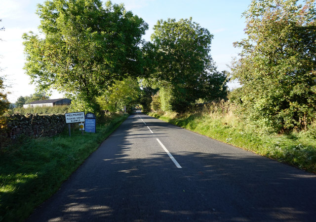
Townfoot Images
Images are sourced within 2km of 54.728382/-2.604908 or Grid Reference NY6137. Thanks to Geograph Open Source API. All images are credited.
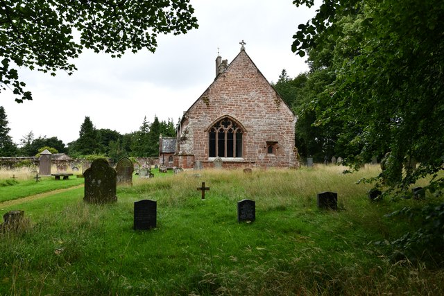
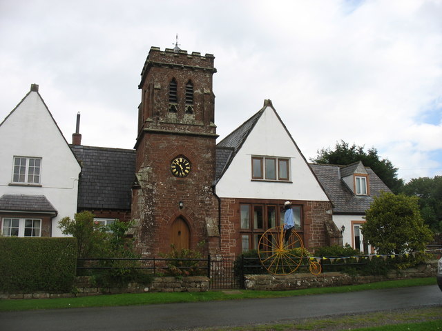
![Church of St John the Baptist, Melmerby Not a very interesting looking church from the outside, and Pevsner [Buildings of England - Cumberland & Westmorland] describes it in just 7 lines, but even he seemed unsure if most of the building is of 1849 or 1895.](https://s1.geograph.org.uk/geophotos/07/02/09/7020961_42d7b5c4.jpg)
Townfoot is located at Grid Ref: NY6137 (Lat: 54.728382, Lng: -2.604908)
Administrative County: Cumbria
District: Eden
Police Authority: Cumbria
What 3 Words
///wolf.subject.published. Near Penrith, Cumbria
Nearby Locations
Related Wikis

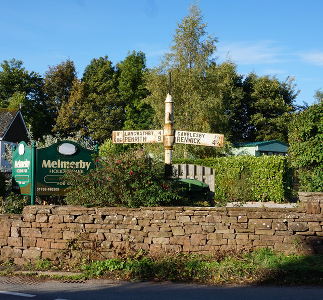
Melmerby, Cumbria
Melmerby is a village and civil parish in the Eden district, in the county of Cumbria, England. It is a small village with a population of around 200....

St John's Church, Gamblesby
St. John's Church was a Victorian parish Church of England church in the village of Gamblesby, Cumbria, England. The Gothic Revival-style church, with...
Gamblesby
Gamblesby is a village near Melmerby, and former civil parish, now in the parish of Glassonby, in the Westmorland and Furness district, in the ceremonial...

Glassonby
Glassonby is a small village and civil parish in the Eden Valley of Cumbria, England, about 3 miles (4.8 km) south south east of Kirkoswald. At the 2001...
Nearby Amenities
Located within 500m of 54.728382,-2.604908Have you been to Townfoot?
Leave your review of Townfoot below (or comments, questions and feedback).