Townfoot
Settlement in Cumberland Eden
England
Townfoot
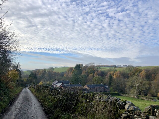
Townfoot is a small village located in the historic county of Cumberland, in the northwestern part of England. Nestled in the picturesque countryside, the village is situated near the beautiful Lake District National Park. With a population of around 500 residents, Townfoot offers a close-knit and friendly community atmosphere.
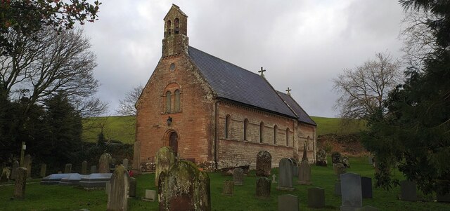
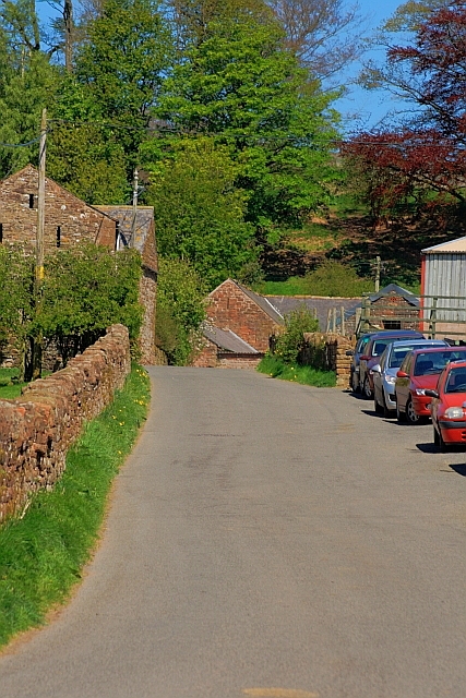
The village boasts a rich history, dating back to the medieval period. Many of the buildings in Townfoot showcase traditional Cumbrian architecture, with stone walls and slate roofs. The local church, St. Mary's, is a prominent landmark, featuring stunning stained glass windows and a peaceful graveyard.
While Townfoot is primarily a residential area, it offers a range of amenities for its residents. The village has a small convenience store, providing essential groceries and everyday items. Additionally, there is a cozy pub where locals gather to socialize and enjoy a pint.
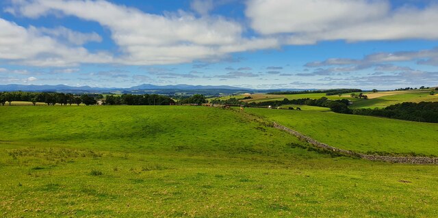
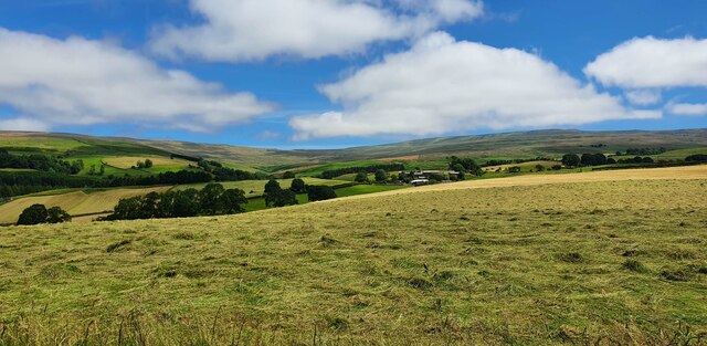
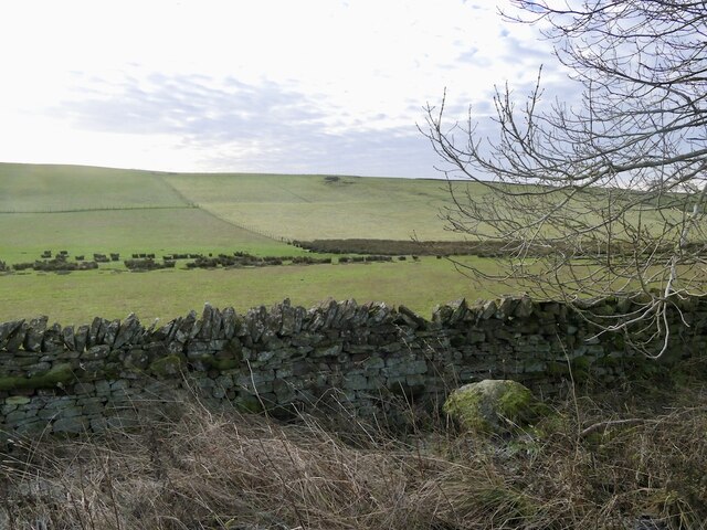
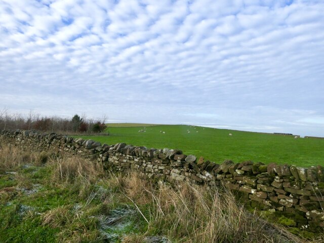
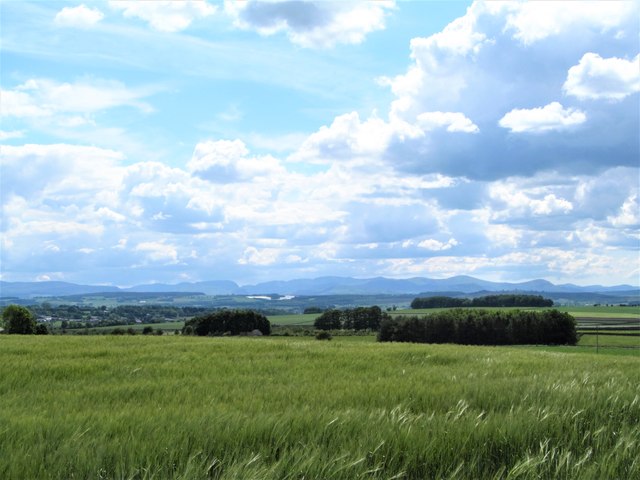
Surrounded by breathtaking natural landscapes, Townfoot is a haven for outdoor enthusiasts. The nearby Lake District National Park offers hiking trails through rolling hills, serene lakes, and picturesque valleys. Outdoor activities such as fishing, boating, and cycling are also popular in the area.
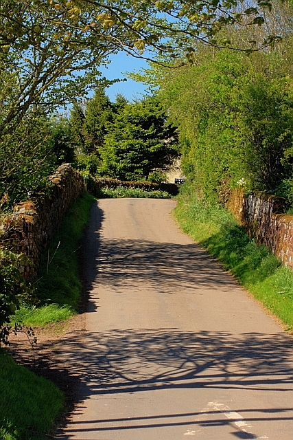
For those seeking a slower pace of life and a strong sense of community, Townfoot provides an idyllic setting. With its rich history, charming architecture, and proximity to the stunning Lake District, this village offers a peaceful and picturesque place to call home.
If you have any feedback on the listing, please let us know in the comments section below.
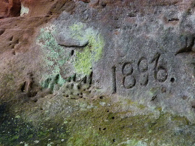
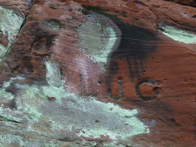
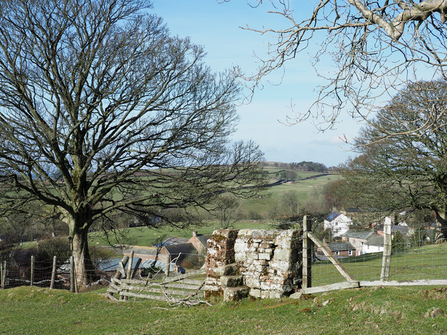
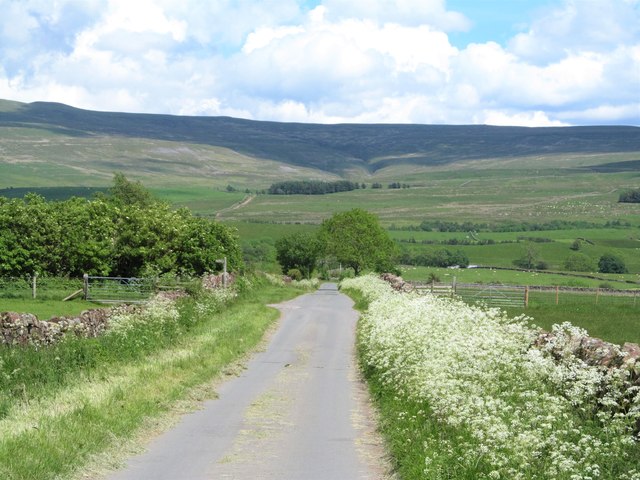
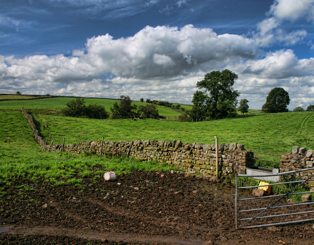
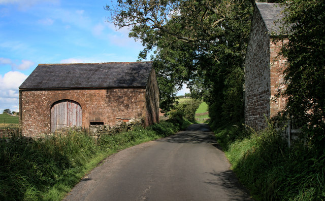
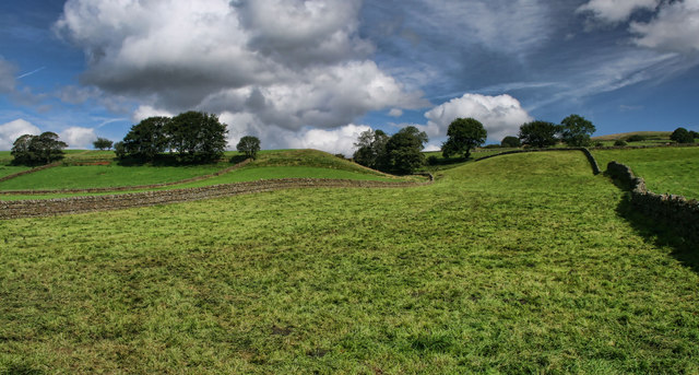
Townfoot Images
Images are sourced within 2km of 54.783676/-2.6263979 or Grid Reference NY5943. Thanks to Geograph Open Source API. All images are credited.
Townfoot is located at Grid Ref: NY5943 (Lat: 54.783676, Lng: -2.6263979)
Administrative County: Cumbria
District: Eden
Police Authority: Cumbria
What 3 Words
///minder.hungry.verifying. Near Alston, Cumbria
Nearby Locations
Related Wikis

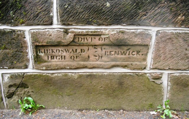
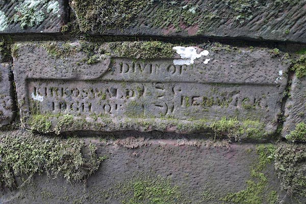
Renwick, Cumbria
Renwick, formerly known as Ravenwick, is a small village and former civil parish, now in the parish of Kirkoswald, in the Eden district, in the county...

Busk, Cumbria
Busk is a hamlet in Cumbria, England. It is located 3.7 miles (6.0 km) by road to the east of Kirkoswald. == See also == List of places in Cumbria ��2...

Unthank, Glassonby
Unthank is a village near Gamblesby in the civil parish of Glassonby in Cumbria, England. It is first mentioned in writing as Unthanke in 1332. == See... ==

Gamblesby
Gamblesby is a village near Melmerby, and former civil parish, now in the parish of Glassonby, in the Westmorland and Furness district, in the ceremonial...
Nearby Amenities
Located within 500m of 54.783676,-2.6263979Have you been to Townfoot?
Leave your review of Townfoot below (or comments, questions and feedback).