Kirkoswald
Civil Parish in Cumberland Eden
England
Kirkoswald
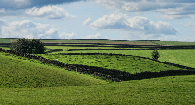
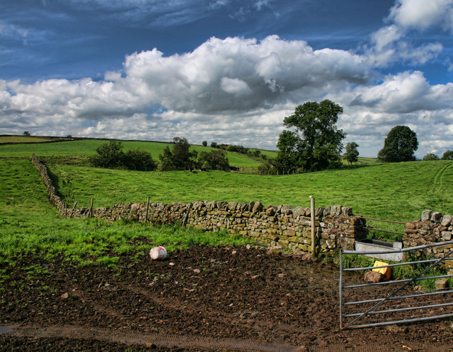
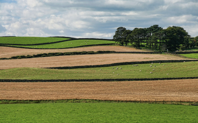
Kirkoswald is a civil parish located in the county of Cumberland, England. It is situated in the northern part of the country, near the border with Scotland. The parish covers an area of approximately 10 square miles and is home to a population of around 500 people.
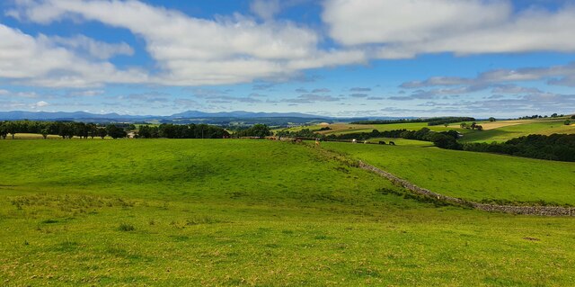
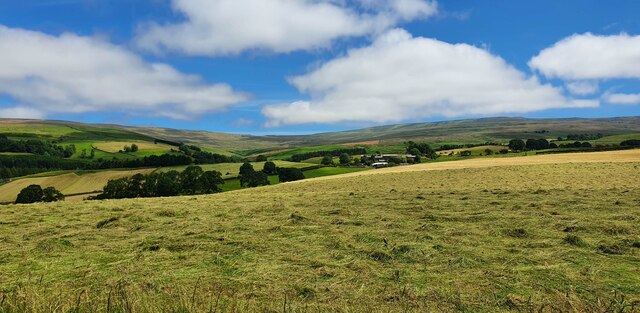
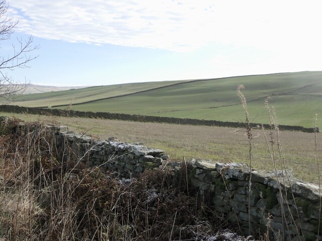
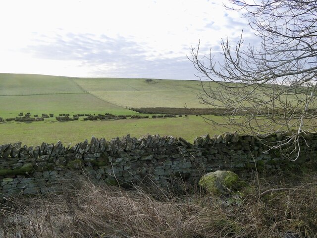
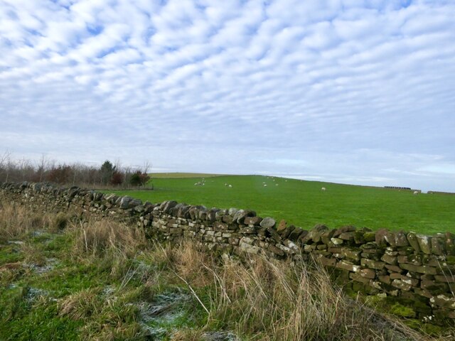
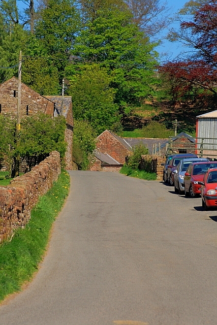
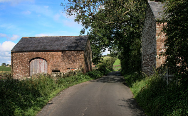
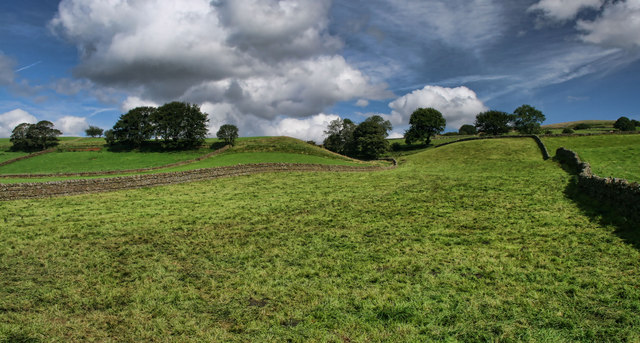
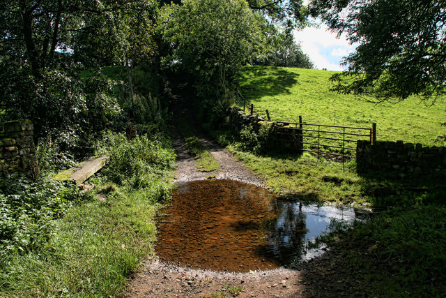
The village of Kirkoswald is the main settlement within the parish. It is a charming rural village with a long history dating back to the medieval period. The village is known for its picturesque setting, surrounded by rolling hills and lush green fields. It has a traditional village square, lined with stone buildings and a village green.
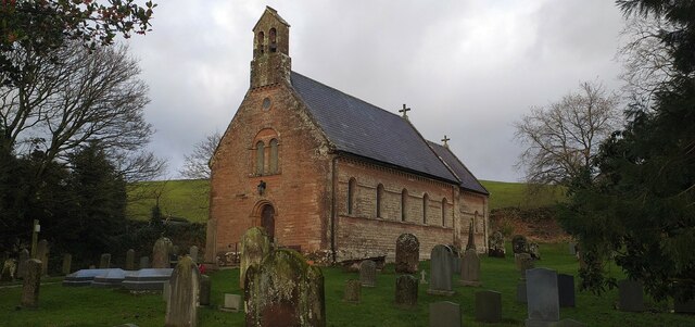
The village is also home to the historic St. Oswald's Church, which dates back to the 12th century. The church is a prominent feature of the village, with its distinctive architecture and beautiful stained glass windows. It serves as a place of worship for the local community and attracts visitors with its historical significance.
In addition to its historical attractions, Kirkoswald offers a range of amenities for its residents and visitors. These include a primary school, a post office, a village hall, and several shops and pubs. The village is also well-connected to the surrounding areas, with good transport links and access to major roads.
Overall, Kirkoswald is a peaceful and picturesque civil parish with a rich history and a close-knit community. It offers a tranquil countryside setting and a range of amenities, making it an attractive place to live or visit.
If you have any feedback on the listing, please let us know in the comments section below.
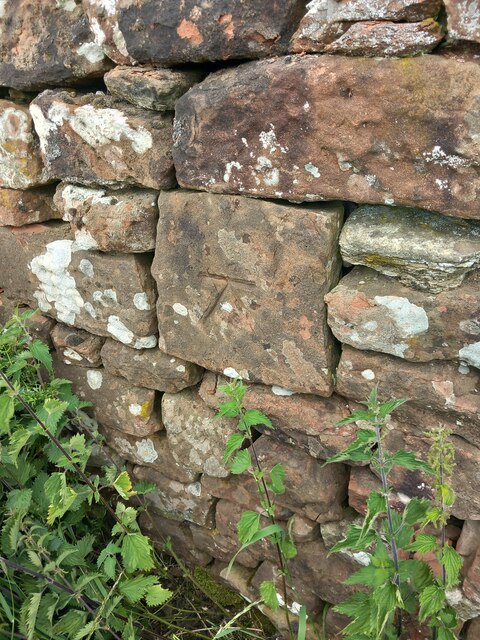
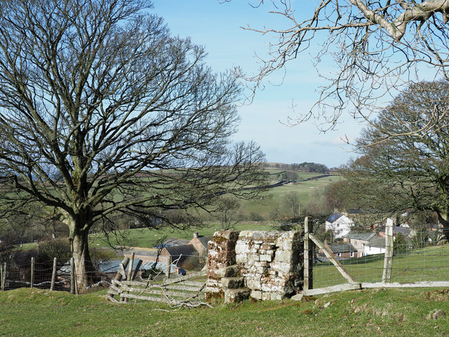
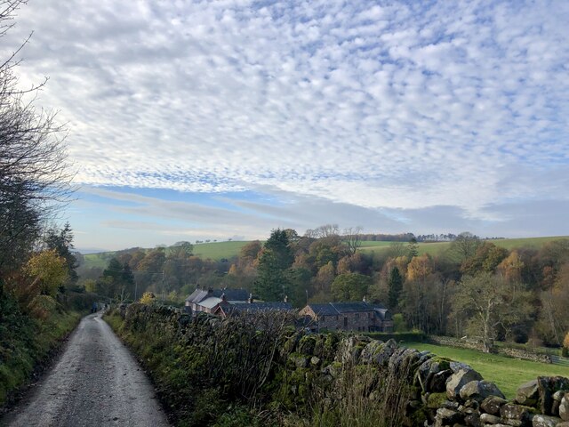
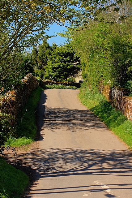
Kirkoswald Images
Images are sourced within 2km of 54.787845/-2.633828 or Grid Reference NY5943. Thanks to Geograph Open Source API. All images are credited.
Kirkoswald is located at Grid Ref: NY5943 (Lat: 54.787845, Lng: -2.633828)
Administrative County: Cumbria
District: Eden
Police Authority: Cumbria
What 3 Words
///runs.history.dividers. Near Alston, Cumbria
Nearby Locations
Related Wikis

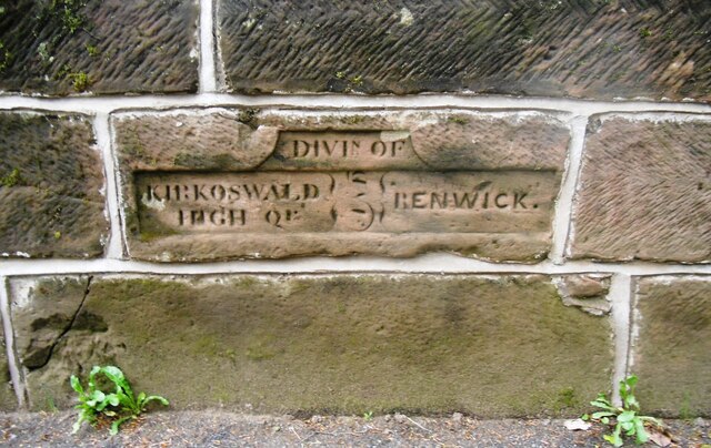
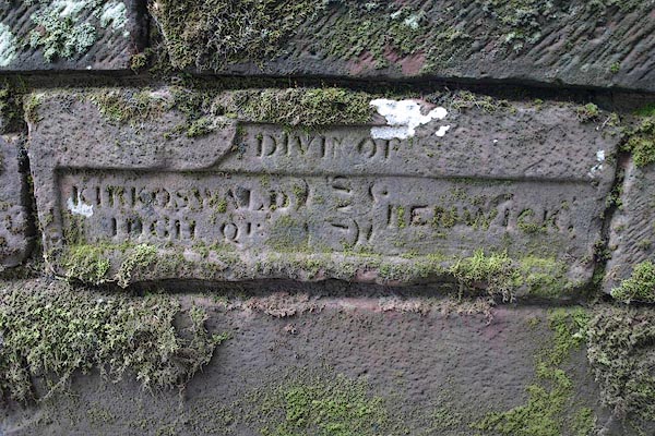
Renwick, Cumbria
Renwick, formerly known as Ravenwick, is a small village and former civil parish, now in the parish of Kirkoswald, in the Eden district, in the county...

Busk, Cumbria
Busk is a hamlet in Cumbria, England. It is located 3.7 miles (6.0 km) by road to the east of Kirkoswald. == See also == List of places in Cumbria ��2...

Unthank, Glassonby
Unthank is a village near Gamblesby in the civil parish of Glassonby in Cumbria, England. It is first mentioned in writing as Unthanke in 1332. == See... ==

Croglin
Croglin is the name of a village, former civil parish, beck (stream), and grange now in the parish of Ainstable, in the Westmorland and Furness district...
Nearby Amenities
Located within 500m of 54.787845,-2.633828Have you been to Kirkoswald?
Leave your review of Kirkoswald below (or comments, questions and feedback).