England Covert
Wood, Forest in Suffolk East Suffolk
England
England Covert
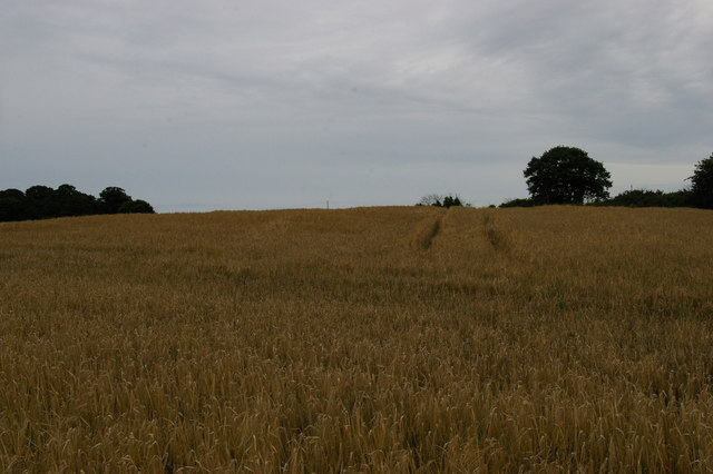
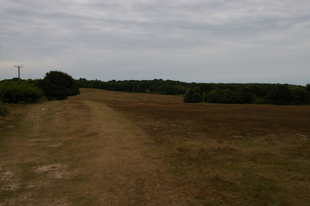
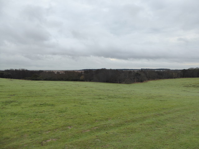
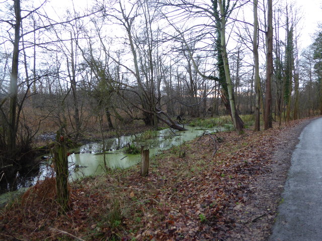
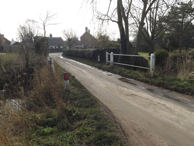
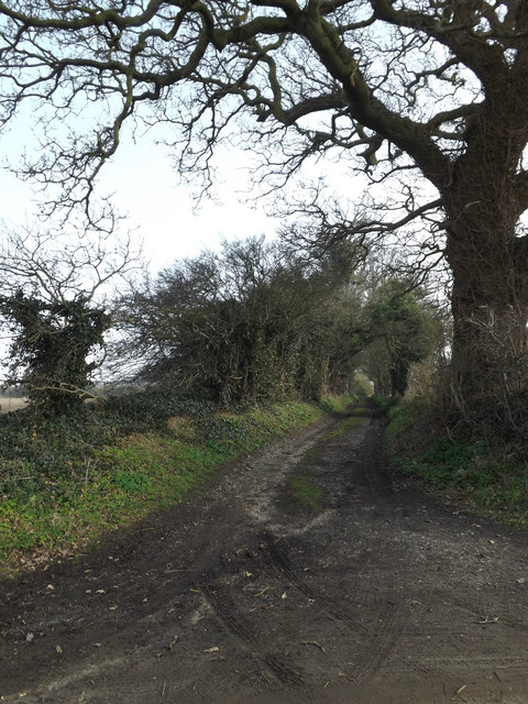
England Covert, Suffolk, also known as the Wood or Forest, is a picturesque area located in the county of Suffolk, England. Covering an extensive area of land, this woodland is well-known for its natural beauty and tranquil atmosphere.
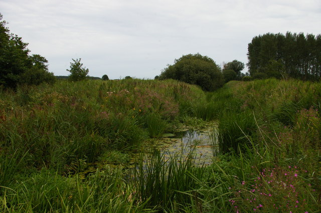
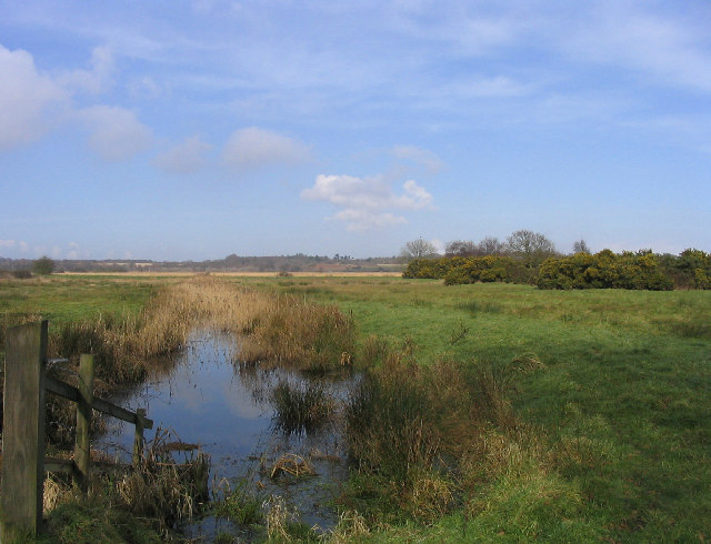
The woodland is characterized by its dense, lush green canopy formed by a variety of tree species, including oak, beech, and ash trees. The diverse range of flora and fauna in the area adds to its charm, making it a haven for nature lovers and wildlife enthusiasts. Visitors to England Covert can expect to encounter an array of wildlife, such as deer, rabbits, squirrels, and a wide variety of bird species.
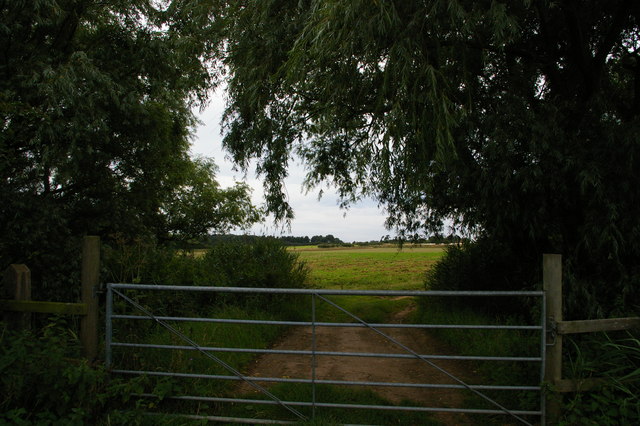
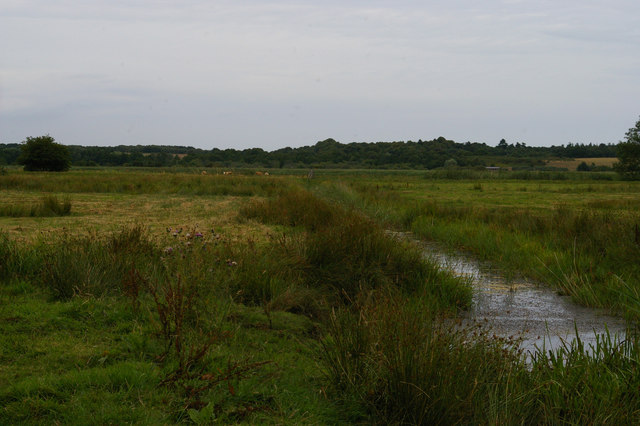
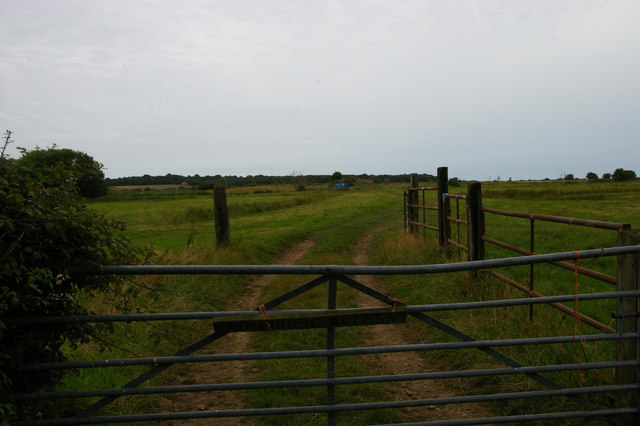
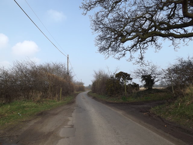
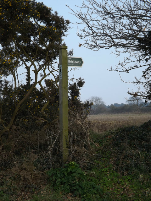
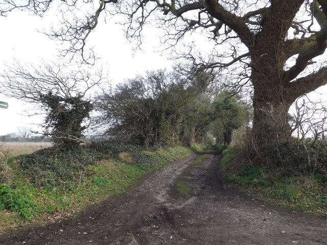
The woodland offers a network of walking trails, allowing visitors to explore its serene surroundings while immersing themselves in nature. These trails vary in length and difficulty, catering to both casual walkers and avid hikers. Along the trails, visitors may come across babbling brooks, small ponds, and occasional clearings, adding to the enchanting atmosphere of the woodland.
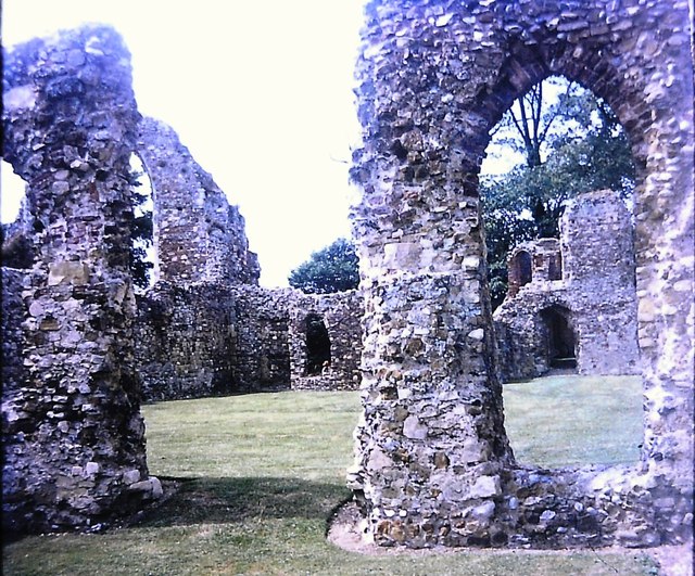
England Covert is also home to several historical features and landmarks, including ancient Roman remains and medieval ruins. These remnants of the past offer a glimpse into the rich history of the area, making it an ideal destination for history enthusiasts.
Overall, England Covert, Suffolk, is a captivating woodland that showcases the beauty of nature and provides a peaceful retreat for those seeking solace in the great outdoors. Its stunning landscapes, diverse wildlife, and historical significance make it a must-visit destination for anyone exploring the Suffolk countryside.
If you have any feedback on the listing, please let us know in the comments section below.
England Covert Images
Images are sourced within 2km of 52.237445/1.5824767 or Grid Reference TM4465. Thanks to Geograph Open Source API. All images are credited.
England Covert is located at Grid Ref: TM4465 (Lat: 52.237445, Lng: 1.5824767)
Administrative County: Suffolk
District: East Suffolk
Police Authority: Suffolk
What 3 Words
///slouched.improving.amended. Near Leiston, Suffolk
Nearby Locations
Related Wikis

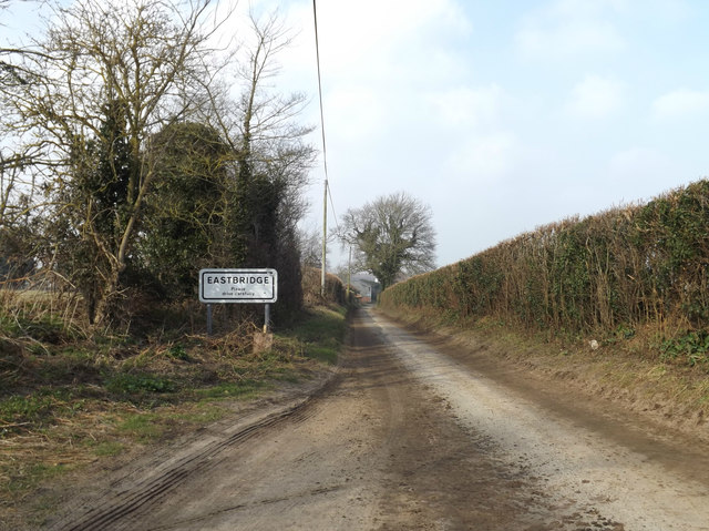
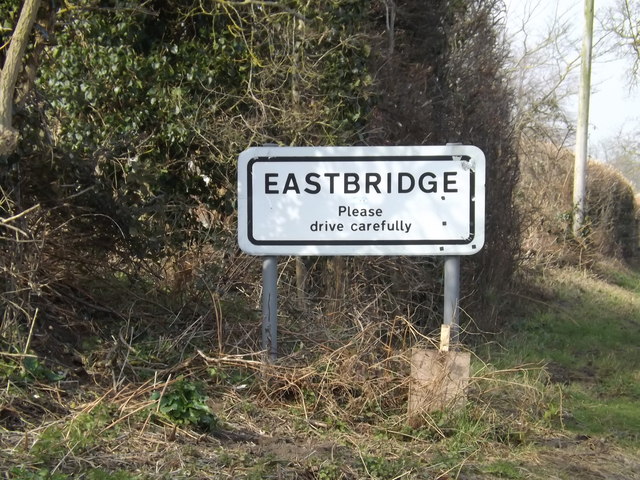
Eastbridge
Eastbridge is a village in the English county of Suffolk. It is located approximately 4 miles (6.4 km) north of Leiston, 2 miles (3.2 km) from the North...

Theberton
Theberton is a village in Suffolk, England. It is located 4 miles (6 km) north-east of Saxmundham, and 3 miles (5 km) miles north of Leiston, its post...

Leiston Abbey
Leiston Abbey outside the town of Leiston, Suffolk, England, was a religious house of Canons Regular following the Premonstratensian rule (White canons...
Minsmere
Minsmere is a place in the English county of Suffolk. It is located on the North Sea coast around 3.5 miles (5.6 km) north of Leiston and 1.5 miles (2...

RSPB Minsmere
RSPB Minsmere is a nature reserve owned and managed by the Royal Society for the Protection of Birds (RSPB) at Minsmere, Suffolk. The 1,000-hectare (2...

Middleton, Suffolk
Middleton is a village in the east of the English county of Suffolk. It is located approximately 3 miles (5 km) north-west of Leiston, 5 miles (8 km)...

Sizewell Belts
Sizewell Marshes form a 260-acre (105.4 ha) biological Site of Special Scientific Interest adjacent to Sizewell in Suffolk. It is in the Suffolk Coast...
Summerhill School
Summerhill School is an independent (i.e. fee-charging) boarding school in Leiston, Suffolk, England. It was founded in 1921 by Alexander Sutherland Neill...
Nearby Amenities
Located within 500m of 52.237445,1.5824767Have you been to England Covert?
Leave your review of England Covert below (or comments, questions and feedback).