Broom Covert
Wood, Forest in Suffolk East Suffolk
England
Broom Covert
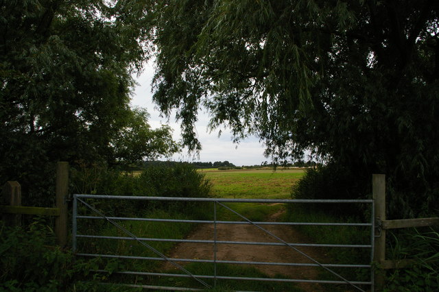
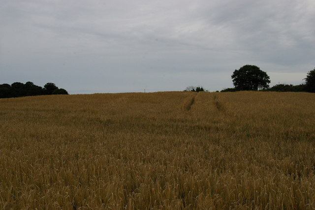
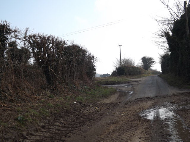
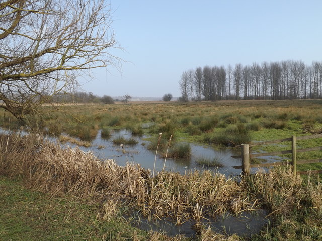
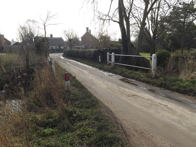
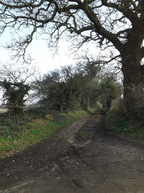
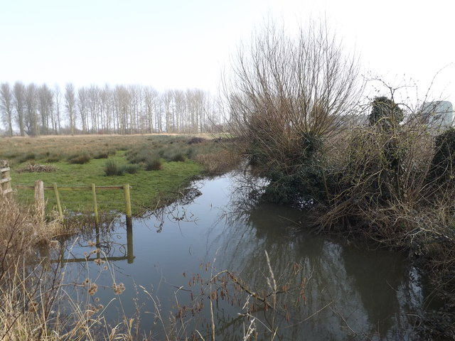
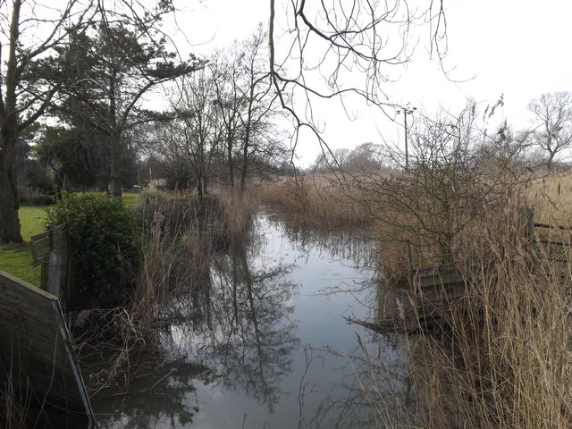
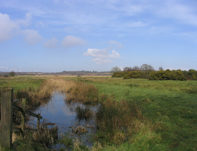
Broom Covert, located in Suffolk, England, is a picturesque wood and forest area that spans over a vast expanse of approximately 200 acres. It is situated near the town of Southwold, within the Suffolk Coast and Heaths Area of Outstanding Natural Beauty.
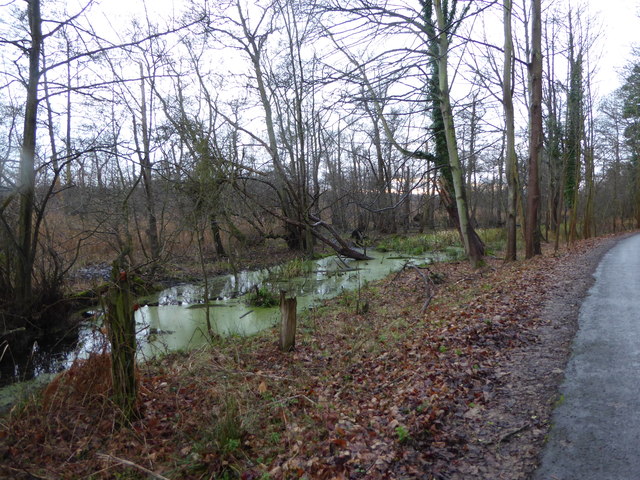
This enchanting woodland is renowned for its diverse range of native tree species, including oak, birch, beech, and pine, which create a dense and lush canopy overhead. The forest floor is adorned with an array of vibrant wildflowers, such as bluebells, primroses, and violets, adding to the area's natural beauty.
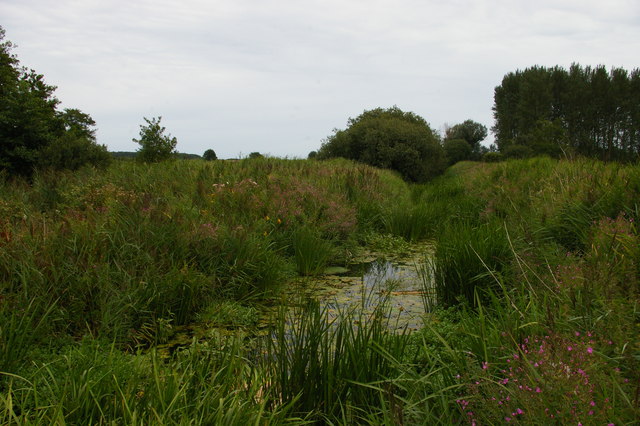
Broom Covert is a haven for wildlife enthusiasts, as it provides a sanctuary for various species of birds, mammals, and insects. The woodland is home to a number of bird species, including great tits, woodpeckers, and owls. Visitors may also catch a glimpse of elusive mammals like foxes, badgers, and deer, which thrive within the peaceful surroundings.
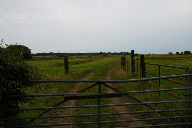
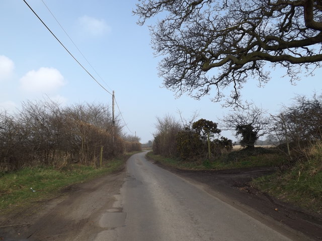
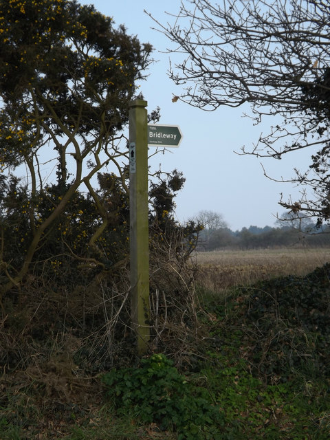
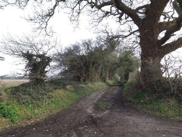
The woodland offers several walking trails, allowing visitors to explore the area's natural wonders at their own pace. These trails lead visitors through a tapestry of scenic landscapes, including open meadows, ancient hedgerows, and gently flowing streams, enhancing the overall experience.
Broom Covert is a popular destination for nature lovers, offering a tranquil retreat away from the hustle and bustle of everyday life. Whether it is a leisurely stroll, birdwatching, or simply immersing oneself in the serene atmosphere, this idyllic wood and forest area provides a truly enchanting experience for visitors of all ages.
If you have any feedback on the listing, please let us know in the comments section below.
Broom Covert Images
Images are sourced within 2km of 52.230656/1.5830135 or Grid Reference TM4465. Thanks to Geograph Open Source API. All images are credited.
Broom Covert is located at Grid Ref: TM4465 (Lat: 52.230656, Lng: 1.5830135)
Administrative County: Suffolk
District: East Suffolk
Police Authority: Suffolk
What 3 Words
///tonal.golden.uncouth. Near Leiston, Suffolk
Nearby Locations
Related Wikis

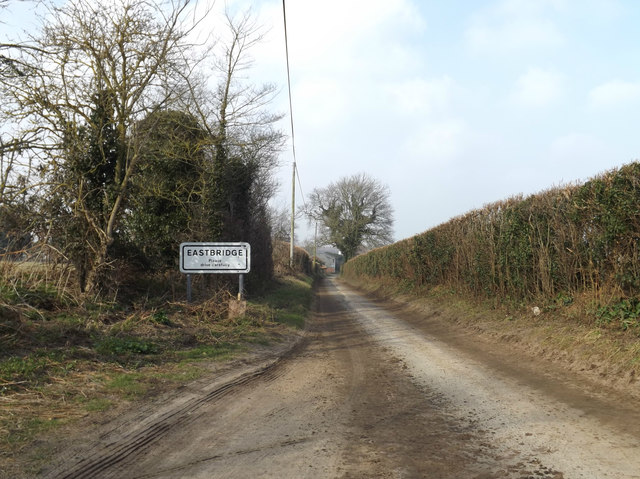
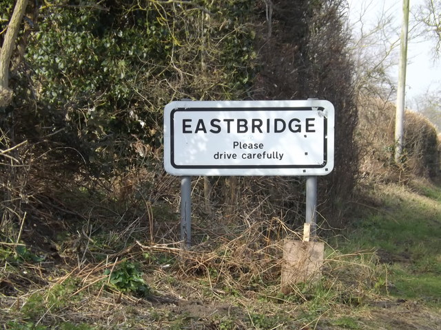
Eastbridge
Eastbridge is a village in the English county of Suffolk. It is located approximately 4 miles (6.4 km) north of Leiston, 2 miles (3.2 km) from the North...

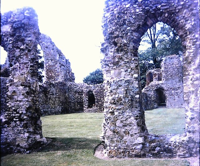
Leiston Abbey
Leiston Abbey outside the town of Leiston, Suffolk, England, was a religious house of Canons Regular following the Premonstratensian rule (White canons...

Theberton
Theberton is a village in Suffolk, England. It is located 4 miles (6 km) north-east of Saxmundham, and 3 miles (5 km) miles north of Leiston, its post...

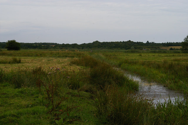
Sizewell Belts
Sizewell Marshes form a 260-acre (105.4 ha) biological Site of Special Scientific Interest adjacent to Sizewell in Suffolk. It is in the Suffolk Coast...
Summerhill School
Summerhill School is an independent (i.e. fee-charging) boarding school in Leiston, Suffolk, England. It was founded in 1921 by Alexander Sutherland Neill...

Leiston railway station
Leiston railway station was a station in Leiston, Suffolk. It was opened in 1859 by the East Suffolk Railway and later became part of the Great Eastern...

RSPB Minsmere
RSPB Minsmere is a nature reserve owned and managed by the Royal Society for the Protection of Birds (RSPB) at Minsmere, Suffolk. The 1,000-hectare (2...
Minsmere
Minsmere is a place in the English county of Suffolk. It is located on the North Sea coast around 3.5 miles (5.6 km) north of Leiston and 1.5 miles (2...
Have you been to Broom Covert?
Leave your review of Broom Covert below (or comments, questions and feedback).