Game Plantation

Wood, Forest in Suffolk East Suffolk

England

Game Plantation

Leiston Abbey in 1976 Looking west towards the largest cloister courtyard
Leiston Abbey in 1976 Credit: Clint Mann

Game Plantation, Suffolk, also known as Wood or Forest, is a picturesque natural area located in the county of Suffolk, England. Spread over a vast expanse, it covers an area of approximately [insert size] and is a haven for nature enthusiasts, wildlife lovers, and those seeking a peaceful retreat.

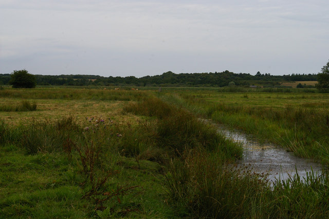
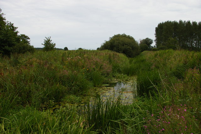
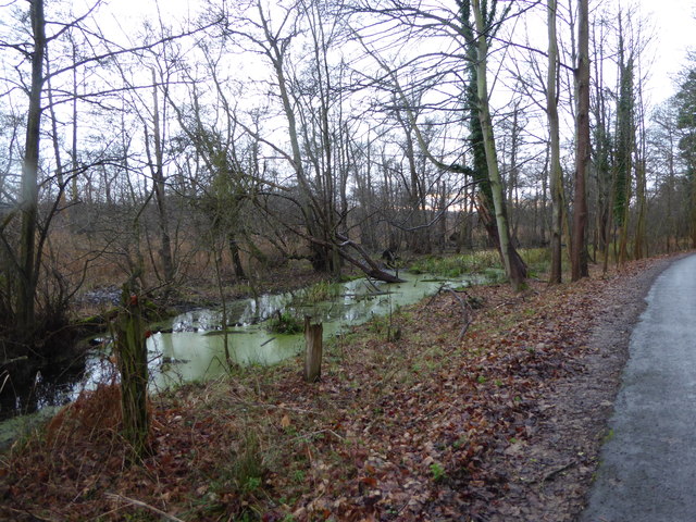
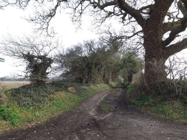
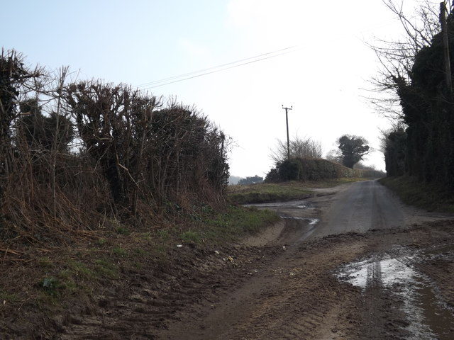
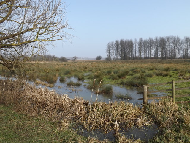
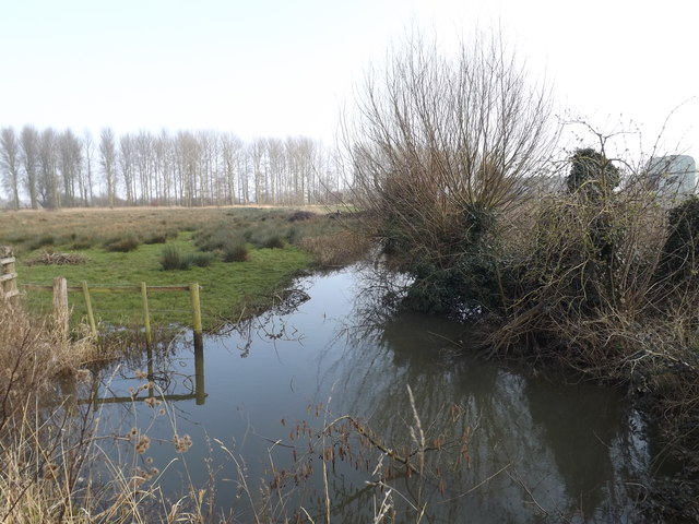
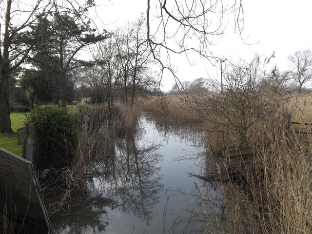
The plantation is characterized by dense woodlands, towering trees, and an abundance of flora and fauna. It offers a diverse range of habitats, including ancient woodland, open grasslands, and wetlands, making it a thriving ecosystem. The woodlands are dominated by a variety of tree species, such as oak, beech, birch, and pine, creating a stunning landscape and providing a sheltered home for numerous animal species.

The Game Plantation is renowned for its rich biodiversity and is home to an array of wildlife. Visitors may be fortunate enough to spot deer, foxes, badgers, and a wide variety of bird species, including woodpeckers, owls, and buzzards. The tranquil setting of the plantation also attracts a plethora of insects and small mammals, adding to its ecological significance.

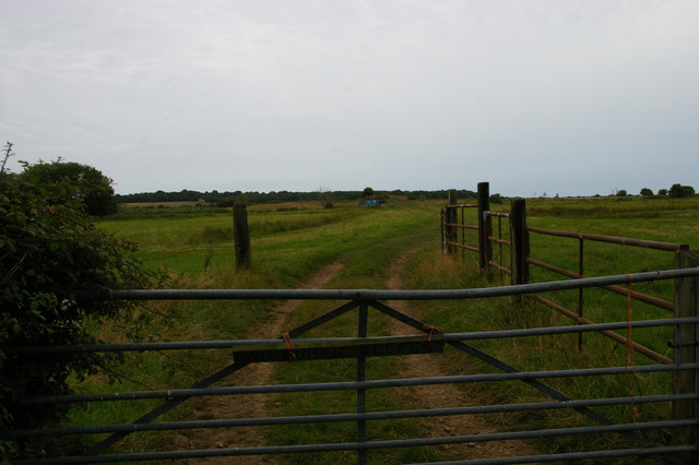
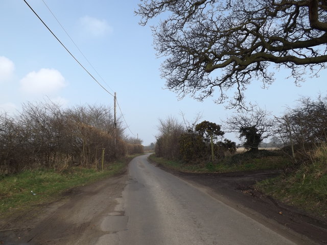
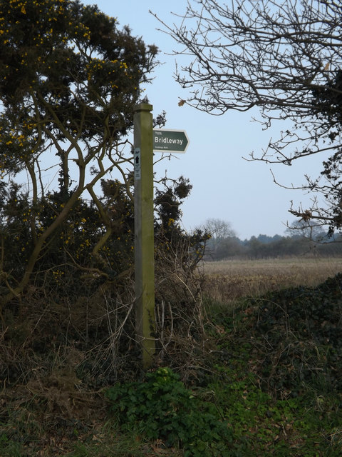
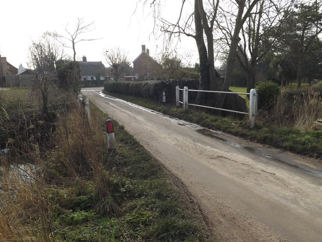
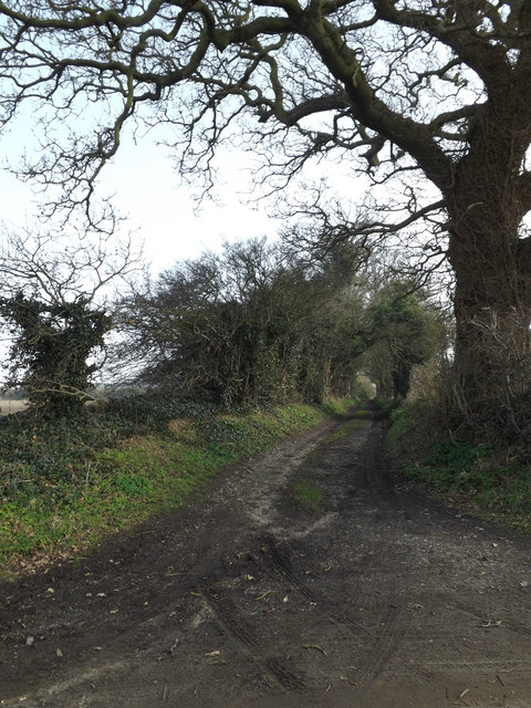
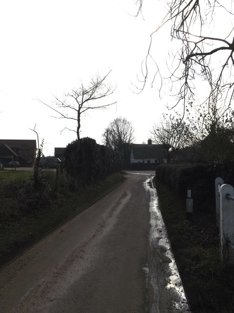
For outdoor enthusiasts, Game Plantation offers a range of recreational activities. There are several well-marked trails that wind through the woodlands, providing an opportunity for hiking, walking, and jogging. The plantation also offers designated picnic areas, allowing visitors to enjoy a leisurely lunch amidst the natural beauty.

Overall, Game Plantation, Suffolk (Wood, Forest) is a captivating destination that offers an immersive experience in nature. Its stunning landscapes, diverse wildlife, and recreational activities make it a must-visit location for anyone seeking a peaceful and enriching outdoor adventure.

If you have any feedback on the listing, please let us know in the comments section below.

Game Plantation Images

Images are sourced within 2km of 52.232041/1.5791553 or Grid Reference TM4465. Thanks to Geograph Open Source API. All images are credited.

Leiston Abbey in 1976 Looking west towards the largest cloister courtyard
Leiston Abbey in 1976
Looking west towards the largest cloister courtyard
Minsmere Level
Minsmere Level
Minsmere Level: track towards Twopenny Arch The red brick of the bridge, Twopenny Arch, can just be made out in the distance.
Minsmere Level: track towards Twopenny Arch
The red brick of the bridge, Twopenny Arch, can just be made out in the distance.
Wheatfield south of Eastbridge
Minsmere New Cut from Dam Bridge
Boggy area beside the road On the road up to Scott's Hall and Minsmere Nature Reserve
Boggy area beside the road
On the road up to Scott's Hall and Minsmere Nature Reserve
Eastbridge Lane & Bridleway Near The Round House
Eastbridge Lane & Bridleway
Near The Round House
Bridleway sign on Eastbridge Lane At the entrance to The Round House
Bridleway sign on Eastbridge Lane
At the entrance to The Round House
Bridleway to Lovers Lane & entrance to The Round House Off Eastbridge Lane
Bridleway to Lovers Lane & entrance to The Round House
Off Eastbridge Lane
Entering Eastbridge on Eastbridge Lane <span class="nowrap"><a title="https://en.wikipedia.org/wiki/Eastbridge" rel="nofollow ugc noopener" href="https://en.wikipedia.org/wiki/Eastbridge">Link</a><img style="margin-left:2px;" alt="External link" title="External link - shift click to open in new window" src="https://s1.geograph.org.uk/img/external.png" width="10" height="10"/></span>
Entering Eastbridge on Eastbridge Lane
Eastbridge Village Name sign on Eastbridge Lane <span class="nowrap"><a title="https://en.wikipedia.org/wiki/Eastbridge" rel="nofollow ugc noopener" href="https://en.wikipedia.org/wiki/Eastbridge">Link</a><img style="margin-left:2px;" alt="External link" title="External link - shift click to open in new window" src="https://s1.geograph.org.uk/img/external.png" width="10" height="10"/></span>
Eastbridge Village Name sign on Eastbridge Lane
Eastbridge Lane, Eastbridge <span class="nowrap"><a title="https://en.wikipedia.org/wiki/Eastbridge" rel="nofollow ugc noopener" href="https://en.wikipedia.org/wiki/Eastbridge">Link</a><img style="margin-left:2px;" alt="External link" title="External link - shift click to open in new window" src="https://s1.geograph.org.uk/img/external.png" width="10" height="10"/></span>
Eastbridge Lane, Eastbridge
Farmland off Eastbridge Lane <span class="nowrap"><a title="https://en.wikipedia.org/wiki/Eastbridge" rel="nofollow ugc noopener" href="https://en.wikipedia.org/wiki/Eastbridge">Link</a><img style="margin-left:2px;" alt="External link" title="External link - shift click to open in new window" src="https://s1.geograph.org.uk/img/external.png" width="10" height="10"/></span>
Farmland off Eastbridge Lane
Bridge on Eastbridge Lane <span class="nowrap"><a title="https://en.wikipedia.org/wiki/Eastbridge" rel="nofollow ugc noopener" href="https://en.wikipedia.org/wiki/Eastbridge">Link</a><img style="margin-left:2px;" alt="External link" title="External link - shift click to open in new window" src="https://s1.geograph.org.uk/img/external.png" width="10" height="10"/></span>
Bridge on Eastbridge Lane
Bridleway to Lovers Lane & entrance to The Round House Off Eastbridge Lane
Bridleway to Lovers Lane & entrance to The Round House
Off Eastbridge Lane
Drain off Eastbridge Lane <span class="nowrap"><a title="https://en.wikipedia.org/wiki/Eastbridge" rel="nofollow ugc noopener" href="https://en.wikipedia.org/wiki/Eastbridge">Link</a><img style="margin-left:2px;" alt="External link" title="External link - shift click to open in new window" src="https://s1.geograph.org.uk/img/external.png" width="10" height="10"/></span>
Drain off Eastbridge Lane
Eastbridge Lane, Eastbridge <span class="nowrap"><a title="https://en.wikipedia.org/wiki/Eastbridge" rel="nofollow ugc noopener" href="https://en.wikipedia.org/wiki/Eastbridge">Link</a><img style="margin-left:2px;" alt="External link" title="External link - shift click to open in new window" src="https://s1.geograph.org.uk/img/external.png" width="10" height="10"/></span>
Eastbridge Lane, Eastbridge
Show me another place!

Game Plantation is located at Grid Ref: TM4465 (Lat: 52.232041, Lng: 1.5791553)

Administrative County: Suffolk

District: East Suffolk

Police Authority: Suffolk

What 3 Words

///booms.yawned.caring. Near Leiston, Suffolk

Related Wikis

Theberton

Theberton is a village in Suffolk, England. It is located 4 miles (6 km) north-east of Saxmundham, and 3 miles (5 km) miles north of Leiston, its post...
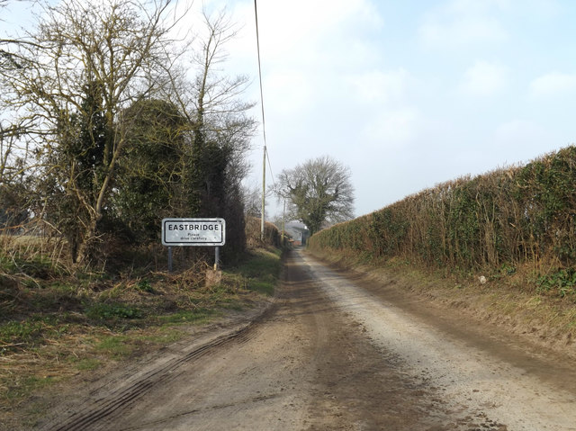
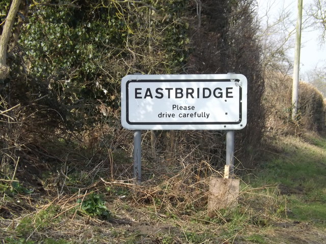
Eastbridge

Eastbridge is a village in the English county of Suffolk. It is located approximately 4 miles (6.4 km) north of Leiston, 2 miles (3.2 km) from the North...
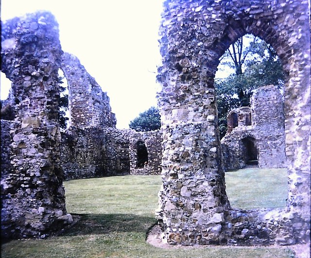
Leiston Abbey

Leiston Abbey outside the town of Leiston, Suffolk, England, was a religious house of Canons Regular following the Premonstratensian rule (White canons...

Summerhill School

Summerhill School is an independent (i.e. fee-charging) boarding school in Leiston, Suffolk, England. It was founded in 1921 by Alexander Sutherland Neill...

Leiston railway station

Leiston railway station was a station in Leiston, Suffolk. It was opened in 1859 by the East Suffolk Railway and later became part of the Great Eastern...

Sizewell Belts

Sizewell Marshes form a 260-acre (105.4 ha) biological Site of Special Scientific Interest adjacent to Sizewell in Suffolk. It is in the Suffolk Coast...
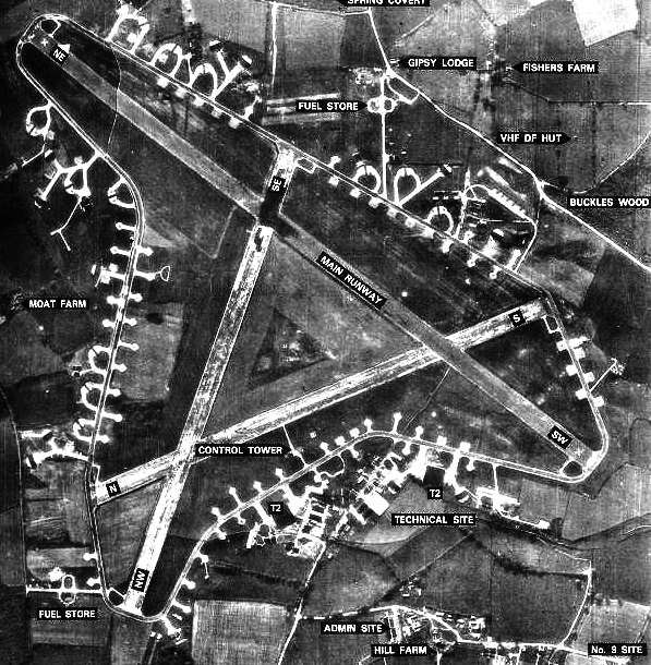
RAF Leiston

Royal Air Force Leiston or more simply RAF Leiston is a former Royal Air Force station located 1.5 km (0.93 mi) northwest of Leiston and 1 km (0.62 mi...

RSPB Minsmere

RSPB Minsmere is a nature reserve owned and managed by the Royal Society for the Protection of Birds (RSPB) at Minsmere, Suffolk. The 1,000-hectare (2...

Nearby Amenities

Located within 500m of 52.232041,1.5791553
Post Box
Collection Times: Mo-Fr 16:00; Sa 09:00
Ref: IP16 4681
Lat/Long: 52.23534/1.58172
The data included in this document is from www.openstreetmap.org. The data is made available under ODbL.

Have you been to Game Plantation?

Leave your review of Game Plantation below (or comments, questions and feedback).