Mill Grove

Wood, Forest in Suffolk East Suffolk

England

Mill Grove

Leiston Abbey in 1976 Looking west towards the largest cloister courtyard
Leiston Abbey in 1976 Credit: Clint Mann

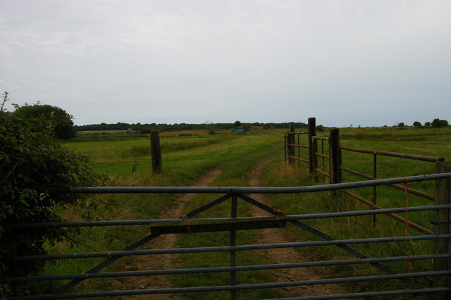
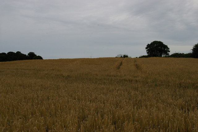
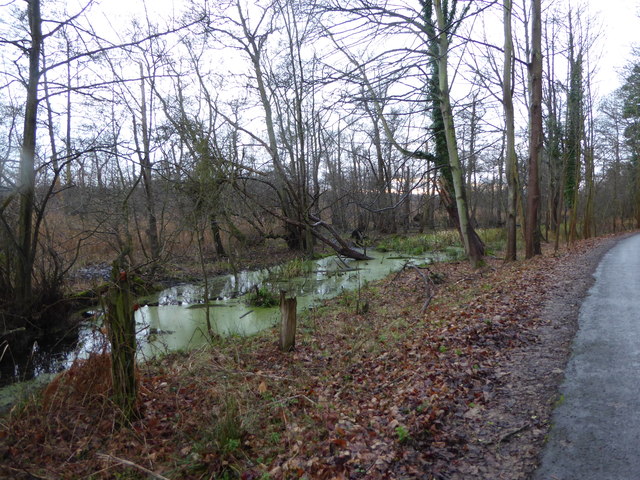
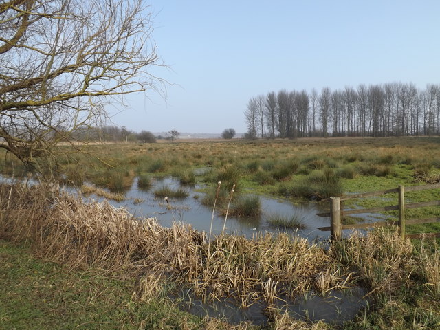
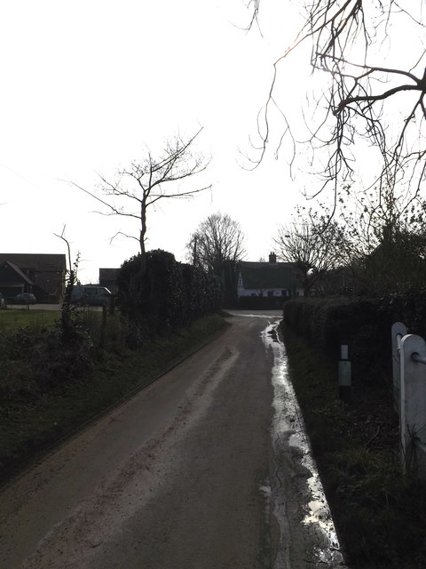
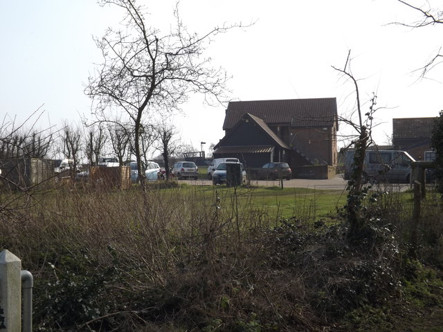
Mill Grove, Suffolk, located in the eastern part of England, is a picturesque woodland area known for its abundant natural beauty and tranquil atmosphere. Situated in the county of Suffolk, this woodland forest encompasses an area of approximately 200 acres, making it an ideal destination for nature enthusiasts and outdoor adventurers.

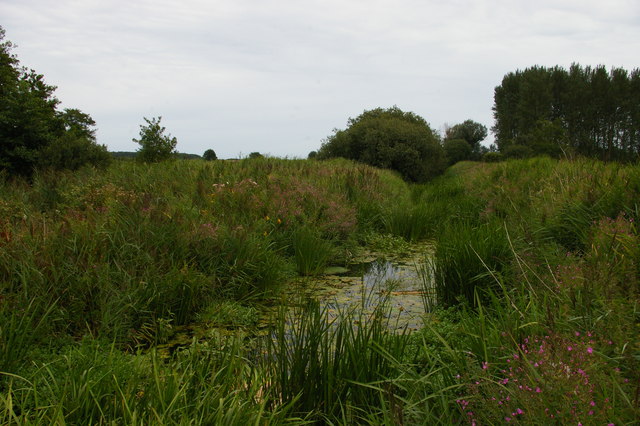
The woodland of Mill Grove is primarily composed of native tree species, including oak, beech, and birch trees, which create a dense canopy that provides shade and shelter to a diverse range of wildlife. The forest floor is adorned with a carpet of wildflowers and ferns, adding a splash of color and vibrancy to the surroundings.

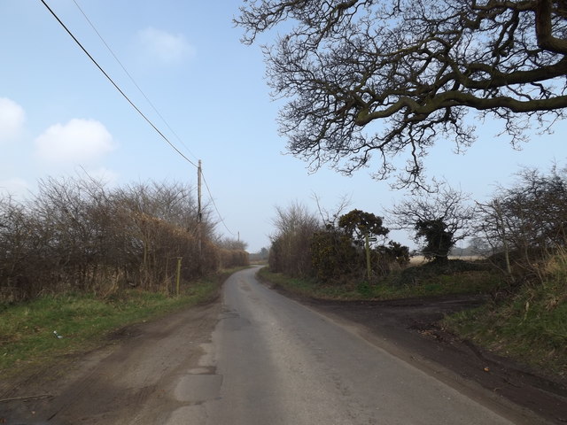
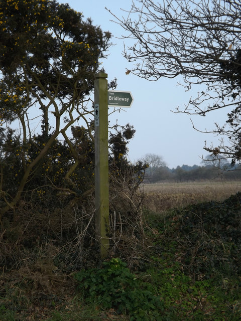
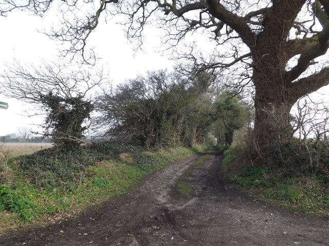
The area is home to a wide variety of wildlife, including deer, foxes, badgers, and numerous bird species, making it a popular spot for birdwatching and wildlife photography. Visitors can also explore the numerous walking trails that wind through the forest, offering breathtaking views of the surrounding landscape.

In addition to its natural beauty, Mill Grove offers various recreational activities for visitors to enjoy. The forest is equipped with picnic areas, allowing families and friends to gather and savor a meal amidst the tranquility of the woods. It also features designated camping spots for those seeking an overnight adventure.

Mill Grove, Suffolk, is a haven for nature lovers, providing a serene escape from the hustle and bustle of daily life. With its diverse wildlife, stunning scenery, and recreational opportunities, it is a cherished gem in the Suffolk countryside.

If you have any feedback on the listing, please let us know in the comments section below.
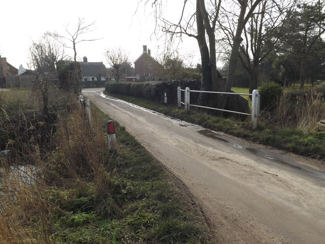
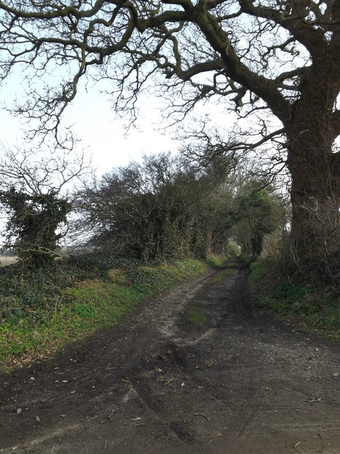
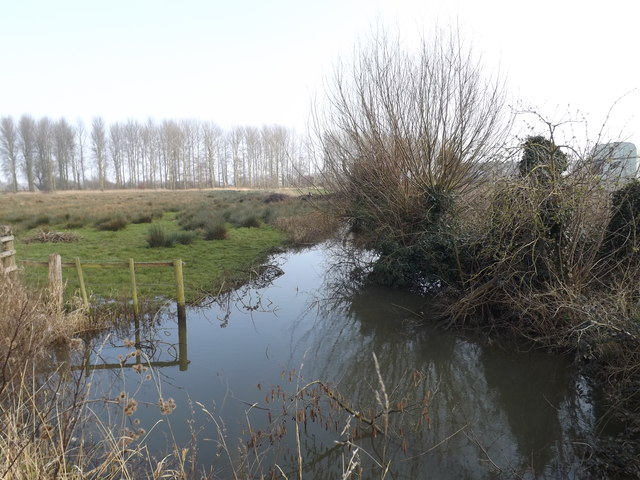
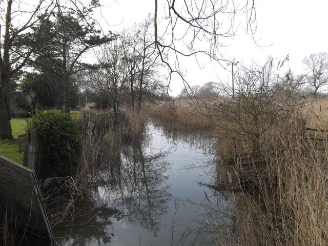
Mill Grove Images

Images are sourced within 2km of 52.236499/1.5748261 or Grid Reference TM4465. Thanks to Geograph Open Source API. All images are credited.

Leiston Abbey in 1976 Looking west towards the largest cloister courtyard
Leiston Abbey in 1976
Looking west towards the largest cloister courtyard
Minsmere Level: track towards Twopenny Arch The red brick of the bridge, Twopenny Arch, can just be made out in the distance.
Minsmere Level: track towards Twopenny Arch
The red brick of the bridge, Twopenny Arch, can just be made out in the distance.
Wheatfield south of Eastbridge
Minsmere New Cut from Dam Bridge
Boggy area beside the road On the road up to Scott's Hall and Minsmere Nature Reserve
Boggy area beside the road
On the road up to Scott's Hall and Minsmere Nature Reserve
Eastbridge Lane & Bridleway Near The Round House
Eastbridge Lane & Bridleway
Near The Round House
Bridleway sign on Eastbridge Lane At the entrance to The Round House
Bridleway sign on Eastbridge Lane
At the entrance to The Round House
Bridleway to Lovers Lane & entrance to The Round House Off Eastbridge Lane
Bridleway to Lovers Lane & entrance to The Round House
Off Eastbridge Lane
Entering Eastbridge on Eastbridge Lane <span class="nowrap"><a title="https://en.wikipedia.org/wiki/Eastbridge" rel="nofollow ugc noopener" href="https://en.wikipedia.org/wiki/Eastbridge">Link</a><img style="margin-left:2px;" alt="External link" title="External link - shift click to open in new window" src="https://s1.geograph.org.uk/img/external.png" width="10" height="10"/></span>
Entering Eastbridge on Eastbridge Lane
Eastbridge Village Name sign on Eastbridge Lane <span class="nowrap"><a title="https://en.wikipedia.org/wiki/Eastbridge" rel="nofollow ugc noopener" href="https://en.wikipedia.org/wiki/Eastbridge">Link</a><img style="margin-left:2px;" alt="External link" title="External link - shift click to open in new window" src="https://s1.geograph.org.uk/img/external.png" width="10" height="10"/></span>
Eastbridge Village Name sign on Eastbridge Lane
Eastbridge Lane, Eastbridge <span class="nowrap"><a title="https://en.wikipedia.org/wiki/Eastbridge" rel="nofollow ugc noopener" href="https://en.wikipedia.org/wiki/Eastbridge">Link</a><img style="margin-left:2px;" alt="External link" title="External link - shift click to open in new window" src="https://s1.geograph.org.uk/img/external.png" width="10" height="10"/></span>
Eastbridge Lane, Eastbridge
Farmland off Eastbridge Lane <span class="nowrap"><a title="https://en.wikipedia.org/wiki/Eastbridge" rel="nofollow ugc noopener" href="https://en.wikipedia.org/wiki/Eastbridge">Link</a><img style="margin-left:2px;" alt="External link" title="External link - shift click to open in new window" src="https://s1.geograph.org.uk/img/external.png" width="10" height="10"/></span>
Farmland off Eastbridge Lane
Bridge on Eastbridge Lane <span class="nowrap"><a title="https://en.wikipedia.org/wiki/Eastbridge" rel="nofollow ugc noopener" href="https://en.wikipedia.org/wiki/Eastbridge">Link</a><img style="margin-left:2px;" alt="External link" title="External link - shift click to open in new window" src="https://s1.geograph.org.uk/img/external.png" width="10" height="10"/></span>
Bridge on Eastbridge Lane
Bridleway to Lovers Lane & entrance to The Round House Off Eastbridge Lane
Bridleway to Lovers Lane & entrance to The Round House
Off Eastbridge Lane
Drain off Eastbridge Lane <span class="nowrap"><a title="https://en.wikipedia.org/wiki/Eastbridge" rel="nofollow ugc noopener" href="https://en.wikipedia.org/wiki/Eastbridge">Link</a><img style="margin-left:2px;" alt="External link" title="External link - shift click to open in new window" src="https://s1.geograph.org.uk/img/external.png" width="10" height="10"/></span>
Drain off Eastbridge Lane
Eastbridge Lane, Eastbridge <span class="nowrap"><a title="https://en.wikipedia.org/wiki/Eastbridge" rel="nofollow ugc noopener" href="https://en.wikipedia.org/wiki/Eastbridge">Link</a><img style="margin-left:2px;" alt="External link" title="External link - shift click to open in new window" src="https://s1.geograph.org.uk/img/external.png" width="10" height="10"/></span>
Eastbridge Lane, Eastbridge
The Eels Foot Inn Public House, Eastbridge <span class="nowrap"><a title="http://www.theeelsfootinn.co.uk/" rel="nofollow ugc noopener" href="http://www.theeelsfootinn.co.uk/">Link</a><img style="margin-left:2px;" alt="External link" title="External link - shift click to open in new window" src="https://s1.geograph.org.uk/img/external.png" width="10" height="10"/></span>
The Eels Foot Inn Public House, Eastbridge
Show me another place!

Mill Grove is located at Grid Ref: TM4465 (Lat: 52.236499, Lng: 1.5748261)

Administrative County: Suffolk

District: East Suffolk

Police Authority: Suffolk

What 3 Words

///covenants.nail.jams. Near Leiston, Suffolk

Related Wikis

Theberton

Theberton is a village in Suffolk, England. It is located 4 miles (6 km) north-east of Saxmundham, and 3 miles (5 km) miles north of Leiston, its post...
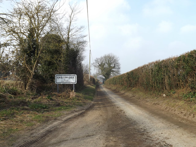
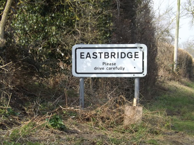
Eastbridge

Eastbridge is a village in the English county of Suffolk. It is located approximately 4 miles (6.4 km) north of Leiston, 2 miles (3.2 km) from the North...
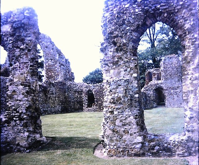
Leiston Abbey

Leiston Abbey outside the town of Leiston, Suffolk, England, was a religious house of Canons Regular following the Premonstratensian rule (White canons...

Middleton, Suffolk

Middleton is a village in the east of the English county of Suffolk. It is located approximately 3 miles (5 km) north-west of Leiston, 5 miles (8 km)...

Nearby Amenities

Located within 500m of 52.236499,1.5748261
Theberton
Place: hamlet
Source: npe
Wikidata: Q4488374
Lat/Long: 52.237235/1.5683522
Rattla Corner
Created By: Potlatch 0.10f
Place: hamlet
Lat/Long: 52.2403949/1.5723895
Bus Stop
The Lion
Naptan AtcoCode: 390060220
Naptan Bearing: NW
Naptan CommonName: The Lion
Naptan Indicator: o/s
Naptan Landmark: The Lion
Naptan NaptanCode: sufgpagp
Naptan Street: Leiston Road
Naptan Verified: no
Source: naptan_import
Lat/Long: 52.2366059/1.5690486
The Lion
Naptan AtcoCode: 390060221
Naptan Bearing: SE
Naptan BusStopType: CUS
Naptan CommonName: The Lion
Naptan Indicator: opp
Naptan Landmark: The Lion
Naptan NaptanCode: sufgpagt
Naptan Street: Leiston Road
Naptan Verified: no
Source: naptan_import
Lat/Long: 52.2366213/1.5691929
Doughty Wylie
Naptan AtcoCode: 390061045
Naptan Bearing: SE
Naptan BusStopType: CUS
Naptan CommonName: Doughty Wylie
Naptan Indicator: opp
Naptan Landmark: Doughty Wylie
Naptan NaptanCode: sufjpjwg
Naptan Street: Leiston Road
Naptan Verified: no
Source: naptan_import
Lat/Long: 52.2355747/1.5703666
Bus Stop
Doughty Wylie
Naptan AtcoCode: 390061046
Naptan Bearing: NW
Naptan CommonName: Doughty Wylie
Naptan Indicator: o/s
Naptan Landmark: Doughty Wylie
Naptan NaptanCode: sufjpjwd
Naptan Street: Leiston Road
Naptan Verified: no
Source: naptan_import
Lat/Long: 52.2355945/1.5703431
Post Box
Brand: Royal Mail
Brand Wikidata: Q638098
Brand Wikipedia: en:Royal Mail
Collection Times: Mo-Fr 09:00; Sa 07:00
Operator: Royal Mail
Operator Type: private
Operator Wikidata: Q638098
Post Box Type: lamp
Ref: IP16 4651
Royal Cypher: EIIR
Lat/Long: 52.235589/1.5702094
Pub
Lion Inn
Addr City: Theberton
Addr Postcode: IP16 4RU
Addr Street: The Street
Wikidata: Q26576028
Lat/Long: 52.2365949/1.5686814
Post Box
Collection Times: Mo-Fr 16:00; Sa 09:00
Ref: IP16 4681
Lat/Long: 52.23534/1.58172
Defibrillator
Defibrillator Location: On the left-hand side wall of the Lion, near the front.
Emergency: defibrillator
Indoor: no
Lat/Long: 52.2365576/1.5687854
Man Made: flagpole
Lat/Long: 52.2376684/1.5692066
The data included in this document is from www.openstreetmap.org. The data is made available under ODbL.

Have you been to Mill Grove?

Leave your review of Mill Grove below (or comments, questions and feedback).